Micklefield
Settlement in Yorkshire
England
Micklefield

The requested URL returned error: 429 Too Many Requests
If you have any feedback on the listing, please let us know in the comments section below.
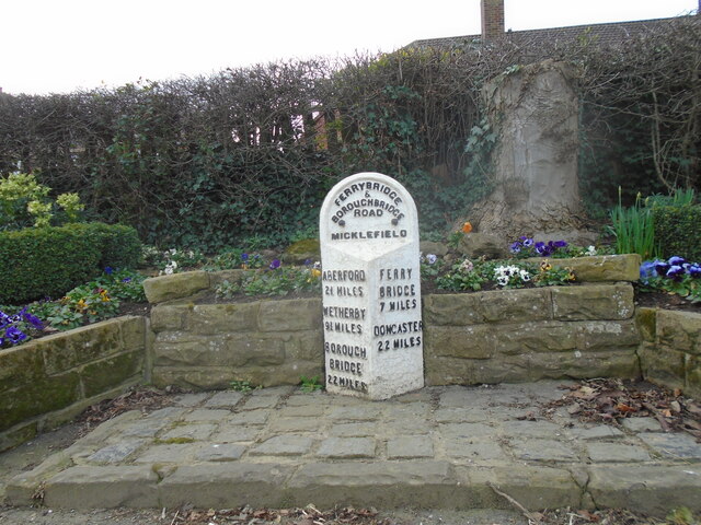
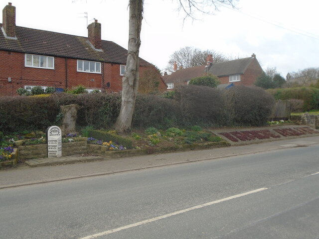
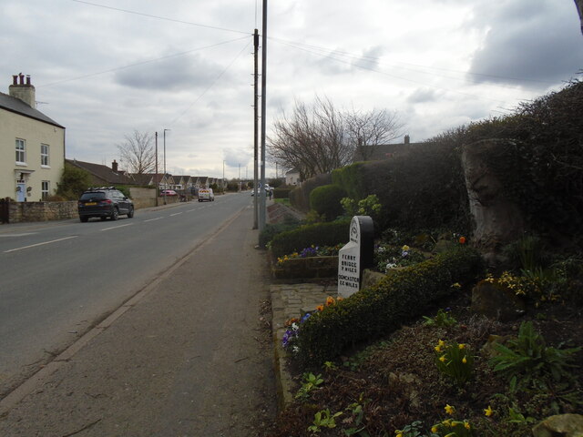
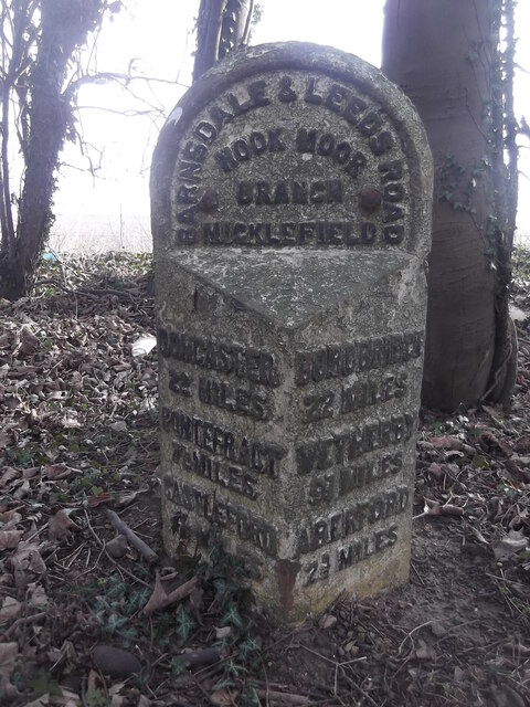
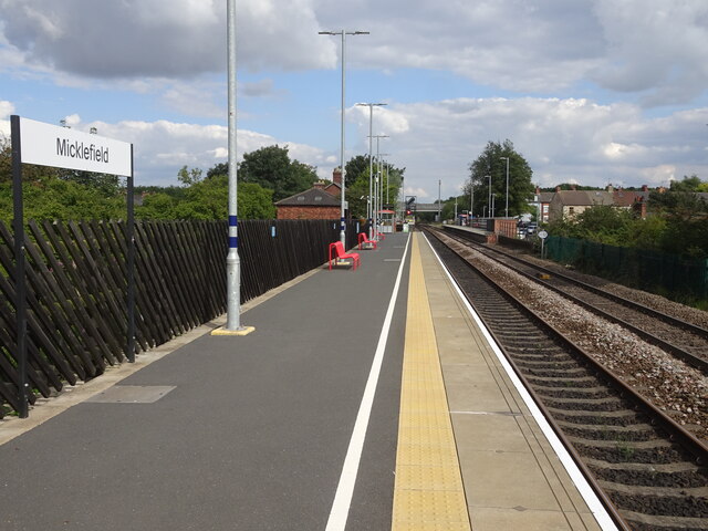
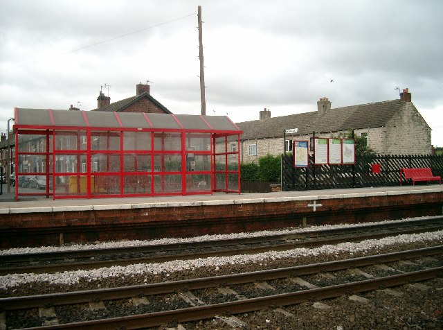
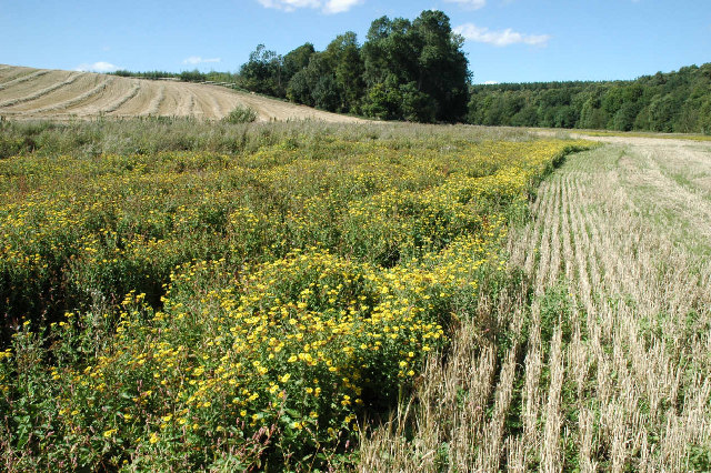
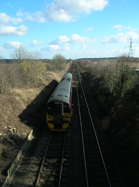
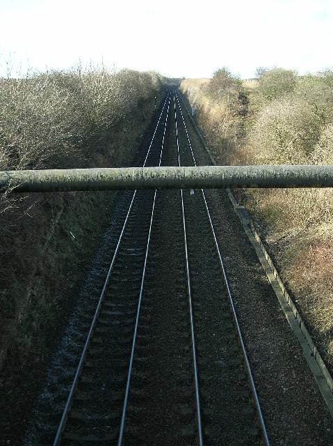
Micklefield Images
Images are sourced within 2km of 53.797478/-1.331503 or Grid Reference SE4433. Thanks to Geograph Open Source API. All images are credited.


!['Roman Road' Bridge, A1-M1 Link, Yorkshire This bridge takes a minor road over the M1 close to the line of the Roman Road [known as Roman Ridge], that ran northwards from Castleford [Lagentium] to Tadcaster [Calcaria]. Before construction of the motorway and bridge, the road kept to the line of the Roman Road and was formerly the A656 which joined A1 at Aberford.](https://s1.geograph.org.uk/photos/00/92/009225_f6795880.jpg)


Micklefield is located at Grid Ref: SE4433 (Lat: 53.797478, Lng: -1.331503)
Division: West Riding
Unitary Authority: Leeds
Police Authority: West Yorkshire
What 3 Words
///ironclad.cheese.pulse. Near Aberford, West Yorkshire
Nearby Locations
Related Wikis
Micklefield
Micklefield is a village and civil parish in the City of Leeds in West Yorkshire, England. It neighbours Garforth, Aberford and Brotherton and is close...

Micklefield railway station
Micklefield railway station serves the village of Micklefield, near Garforth in West Yorkshire, England. It lies on the Selby and York Lines, operated...
Roman Road railway station (Yorkshire)
Roman Road railway station was a station on the Leeds and Selby Railway, near Micklefield, in West Yorkshire, England. The station was one of the shortest...

Sturton Grange
Sturton Grange is a civil parish in the City of Leeds in West Yorkshire, England. It has a population of 417, reducing to 403 at the 2011 Census.Most of...
Nearby Amenities
Located within 500m of 53.797478,-1.331503Have you been to Micklefield?
Leave your review of Micklefield below (or comments, questions and feedback).