Frognal

Heritage Site in Kent

England

Frognal

Tonge Mill, near Sittingbourne A Grade II listed building dating from 1837. It has been restored and converted into a private dwelling.
Tonge Mill, near Sittingbourne Credit: pam fray

Frognal, located in the county of Kent, England, is a historic heritage site that holds significant cultural and architectural value. Nestled in the picturesque landscape of the Kentish countryside, Frognal is renowned for its grandeur and rich history.

The centerpiece of Frognal is the stunning Frognal House, a Grade I listed building that dates back to the 17th century. This magnificent mansion showcases a beautiful blend of architectural styles, including Jacobean and Georgian influences. The house boasts intricate detailing, with its ornate plasterwork, grand staircases, and elegant reception rooms. The surrounding gardens and parkland further enhance the charm of the estate, offering breathtaking views of the countryside.

In addition to its architectural splendor, Frognal also holds historical significance. It was once the residence of notable figures, including Sir Philip Sidney, a renowned poet and soldier, and later the Earl of Liverpool, who served as Prime Minister of the United Kingdom in the early 19th century. The estate has witnessed various important events and has been a witness to the changing tides of history.

Today, Frognal is open to the public, allowing visitors to explore its grounds and experience the grandeur of the past. Guided tours provide insight into the history and architecture of the estate, while the surrounding gardens offer a peaceful retreat for nature lovers. Frognal stands as a testament to the rich heritage of Kent and serves as a reminder of its glorious past.

If you have any feedback on the listing, please let us know in the comments section below.
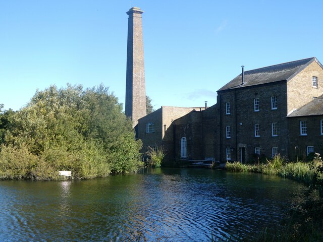
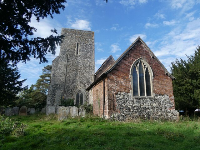
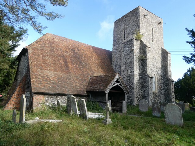
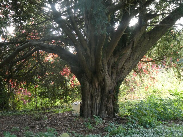
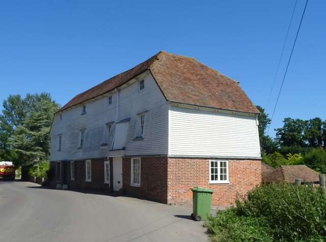
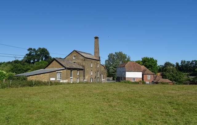
Frognal Images

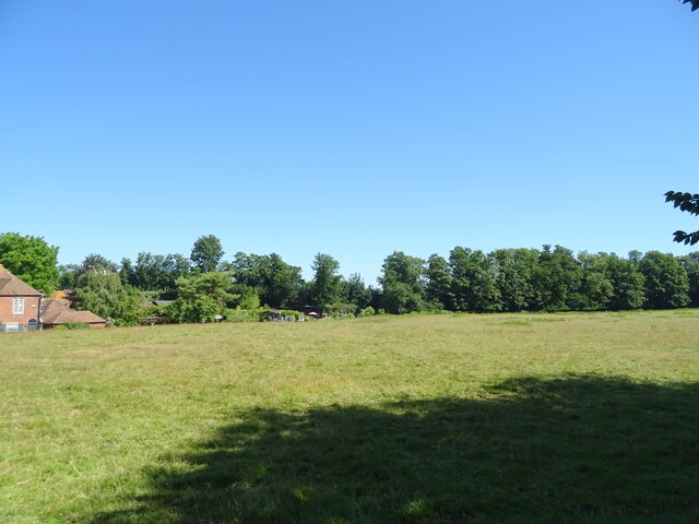
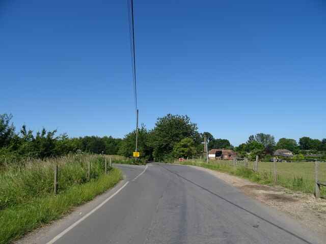
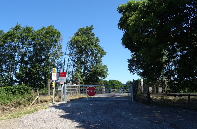
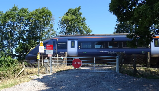
Images are sourced within 2km of 51.337/0.792 or Grid Reference TQ9463. Thanks to Geograph Open Source API. All images are credited.

Tonge Mill, near Sittingbourne A Grade II listed building dating from 1837. It has been restored and converted into a private dwelling.
Tonge Mill, near Sittingbourne
A Grade II listed building dating from 1837. It has been restored and converted into a private dwelling.
Pear orchard, Tonge South of Tonge Mill and millpond.
Pear orchard, Tonge
South of Tonge Mill and millpond.
St. Giles' Churchyard, Tonge An 18th century gravestone in memory of Edward Marshall and family.
St. Giles' Churchyard, Tonge
An 18th century gravestone in memory of Edward Marshall and family.
St. Giles' Churchyard, Tonge An area containing more recent graves.
St. Giles' Churchyard, Tonge
An area containing more recent graves.
St Giles' Church, Tonge The eastern end. Parish church. 12th and 14th century, restored in the 16th and 17th century  and in 1893. A Grade I listed building.
St Giles' Church, Tonge
The eastern end. Parish church. 12th and 14th century, restored in the 16th and 17th century and in 1893. A Grade I listed building.
St Giles' Church, Tonge Parish church. 12th and 14th century, restored in the 16th and 17th century  and in 1893. A Grade I listed building. View of the south side.
St Giles' Church, Tonge
Parish church. 12th and 14th century, restored in the 16th and 17th century and in 1893. A Grade I listed building. View of the south side.
Yew tree, St. Giles' Churchyard, Tonge One of many such ancient trees here.
Yew tree, St. Giles' Churchyard, Tonge
One of many such ancient trees here.
Bus shelter, Fox Hill Previous view shows the same bus shelter with the <a href="https://www.geograph.org.uk/photo/6004172">TQ9263 : Development land</a> behind, which has since been given the name Spring Acres. The present view shows some of the houses, which are being built on the housing estate.
Bus shelter, Fox Hill
Previous view shows the same bus shelter with the TQ9263 : Development land behind, which has since been given the name Spring Acres. The present view shows some of the houses, which are being built on the housing estate.
Railway bridge over Church Road
Elizabeth II postbox on Station Road, Teynham Postbox No. ME9 12.
Elizabeth II postbox on Station Road, Teynham
Postbox No. ME9 12.
Tonge Mill the Mill House
The Tonge Mill Centre
Grazing, Scraps Hill
Junction on Scraps Hill Towards Tong Mill.
Junction on Scraps Hill
Towards Tong Mill.
Level crossing off Lower Road
Passing high speed train, level crossing off Lower Road
Lower Road Towards Tong Mill.
Lower Road
Towards Tong Mill.
Railway bridge over track to Bax
Show me another place!

Frognal is located at Grid Ref: TQ9463 (Lat: 51.337, Lng: 0.792)

Police Authority: Kent

What 3 Words

///intruded.luxury.dumplings. Near Teynham, Kent

Nearby Locations

Bax Frognal

Related Wikis

Teynham

Teynham ( TEN-əm) is a large village and civil parish in the borough of Swale in Kent, England. The parish lies between the towns of Sittingbourne and...

Tonge, Kent

Tonge is a village near Sittingbourne in Kent, England. The hamlet is north of Bapchild (where at the 2011 Census the population was included), close to...

Teynham railway station

Teynham railway station is on the Chatham Main Line in England, serving the village of Teynham, Kent. It is 47 miles 74 chains (77.1 km) down the line...

Sittingbourne and Sheppey (UK Parliament constituency)

Sittingbourne and Sheppey is a constituency in Kent represented in the House of Commons of the UK Parliament since 2010 by Gordon Henderson, a Conservative...

Nearby Amenities

Located within 500m of 51.337,0.792
Source: NPE tracing
Lat/Long: 51.3383247/0.7877283
Source: NPE tracing
Lat/Long: 51.3380112/0.7895638
Source: NPE tracing
Lat/Long: 51.3376488/0.7913508
Source: NPE tracing
Lat/Long: 51.3372463/0.7930469
Source: NPE tracing
Lat/Long: 51.3371864/0.7932857
Source: NPE tracing
Lat/Long: 51.3364506/0.7962316
Bax
Place: hamlet
Source: npe
Lat/Long: 51.3406797/0.7892409
Railway: crossing
Lat/Long: 51.3358654/0.7984557
Fair View
Building: yes
Lat/Long: 51.3366631/0.7920129
The Bungalow
Building: yes
Source: npe
Lat/Long: 51.3366506/0.7965769
Railway: crossing
Lat/Long: 51.3358254/0.7984238
Source: NPE tracing
Lat/Long: 51.3364132/0.796207
Source: NPE tracing
Lat/Long: 51.3371488/0.7932617
Source: NPE tracing
Lat/Long: 51.3372088/0.7930229
Source: NPE tracing
Lat/Long: 51.3376106/0.7913293
Source: NPE tracing
Lat/Long: 51.3379724/0.7895457
Source: NPE tracing
Lat/Long: 51.3382854/0.7877127
Railway: level_crossing
Lat/Long: 51.3383579/0.7875036
Railway: level_crossing
Lat/Long: 51.33832/0.787479
Crossing Barrier: no
Crossing Bell: yes
Crossing Light: yes
Railway: level_crossing
Lat/Long: 51.3362003/0.7971828
Crossing Bell: no
Crossing Light: no
Railway: level_crossing
Lat/Long: 51.3361611/0.7971578
The data included in this document is from www.openstreetmap.org. The data is made available under ODbL.

Have you been to Frognal?

Leave your review of Frognal below (or comments, questions and feedback).