Faesten Dic

Heritage Site in Kent Dartford

England

Faesten Dic

Tree-lined path on Dartford Heath
Tree-lined path on Dartford Heath Credit: David Martin

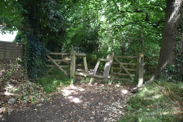
Faesten Dic, located in Kent, is a significant heritage site that holds historical and cultural importance. The site, also known as the Ditch of the Fastness, is an ancient earthwork that dates back to the Iron Age. It is believed to have been constructed around 300 BC.

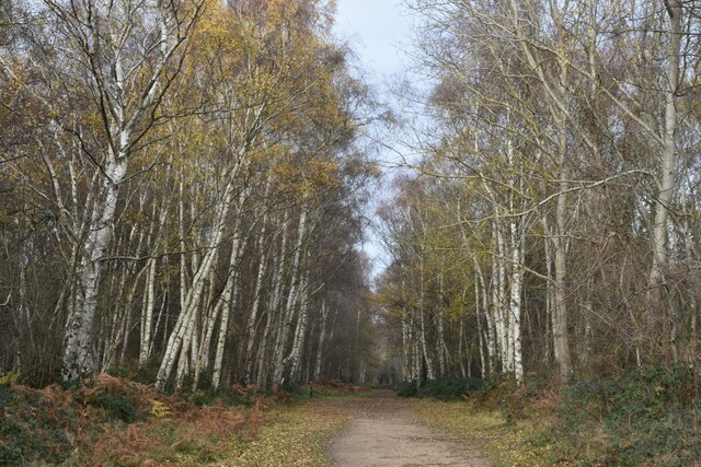
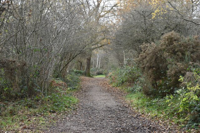
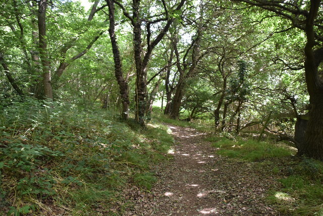
The earthwork itself is a large circular ditch with an outer bank, forming a defensive enclosure. It spans approximately 300 meters in diameter and is surrounded by dense woodland. The ditch is around 4 meters deep and would have served as a formidable barrier for any potential invaders.

Various archaeological excavations have taken place at Faesten Dic, revealing valuable insights into the lives of the Iron Age inhabitants. The remains of pottery, tools, and even human and animal bones have been discovered, shedding light on the daily activities and habits of the people who once occupied the site.

The importance of Faesten Dic extends beyond its defensive capabilities. It is believed to have been a significant social and ceremonial center, possibly serving as a tribal meeting place or a religious site. The location's strategic positioning, overlooking the surrounding countryside, would have facilitated communication and allowed for the observation of any approaching threats.

Today, Faesten Dic serves as a popular tourist destination, attracting history enthusiasts and nature lovers alike. Visitors can explore the earthwork, taking in its impressive size and imagining the lives of its ancient inhabitants. The site offers a unique opportunity to step back in time and connect with the rich history of Kent.

If you have any feedback on the listing, please let us know in the comments section below.
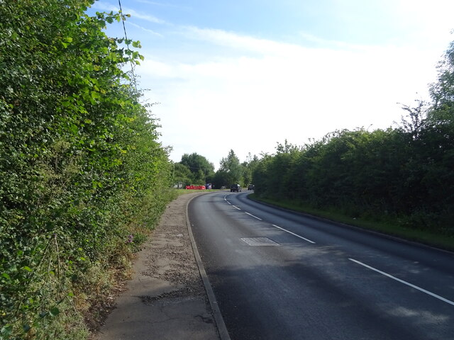
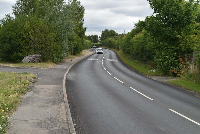
Faesten Dic Images

Images are sourced within 2km of 51.422/0.165 or Grid Reference TQ5071. Thanks to Geograph Open Source API. All images are credited.

Tree-lined path on Dartford Heath
Path in the woods on Dartford Heath
Birchwood Road towards Dartford
Birchwood Rd
Birchwood Rd
Birchwood Rd
Birchwood Rd
Stonehill Green
Stonehill Green
Stonehill Green
Stonehill Green
Stonehill Farm
Stonehill Farm
Barn, Stonehill Farm
The Forge
The Forge
Birchwood Park Golf Course Website: <span class="nowrap"><a title="www.birchwoodparkgc.co.uk/" rel="nofollow ugc noopener" href="http://www.birchwoodparkgc.co.uk/">Link</a><img style="margin-left:2px;" alt="External link" title="External link - shift click to open in new window" src="https://s1.geograph.org.uk/img/external.png" width="10" height="10"/></span>
Birchwood Park Golf Course
Website: LinkExternal link
Pond, Stonehill Green
Stonehill Green
Stonehill Green
Stonehill Green
Stonehill Green
Oast, Birchwood Park Golf Centre Buildings made to look like oast houses.
Oast, Birchwood Park Golf Centre
Buildings made to look like oast houses.
Oast, Birchwood Park Golf Centre Buildings made to look like oast houses.
Oast, Birchwood Park Golf Centre
Buildings made to look like oast houses.
Entering Joyden Wood A Woodland Trust site in Dartford borough, opened to the public in 1988.  Close to the A2 and A20 trunk roads,this remains a natural ancient woodland and contains visible remains of the ancient "Faesten Dic" (strong dyke), an Anglo-Saxon (or possibly older) defensive ditch.  It is approximately 130 hectares in area and contains many tracks and paths; the main tracks are open to horses and cyclists.
Entering Joyden Wood
A Woodland Trust site in Dartford borough, opened to the public in 1988. Close to the A2 and A20 trunk roads,this remains a natural ancient woodland and contains visible remains of the ancient "Faesten Dic" (strong dyke), an Anglo-Saxon (or possibly older) defensive ditch. It is approximately 130 hectares in area and contains many tracks and paths; the main tracks are open to horses and cyclists.
Joyden Wood A Woodland Trust site in Dartford borough, opened to the public in 1988.  Close to the A2 and A20 trunk roads,this remains a natural ancient woodland and contains visible remains of the ancient "Faesten Dic" (strong dyke), an Anglo-Saxon (or possibly older) defensive ditch.  It is approximately 130 hectares in area and contains many tracks and paths; the main tracks are open to horses and cyclists.
Joyden Wood
A Woodland Trust site in Dartford borough, opened to the public in 1988. Close to the A2 and A20 trunk roads,this remains a natural ancient woodland and contains visible remains of the ancient "Faesten Dic" (strong dyke), an Anglo-Saxon (or possibly older) defensive ditch. It is approximately 130 hectares in area and contains many tracks and paths; the main tracks are open to horses and cyclists.
Show me another place!

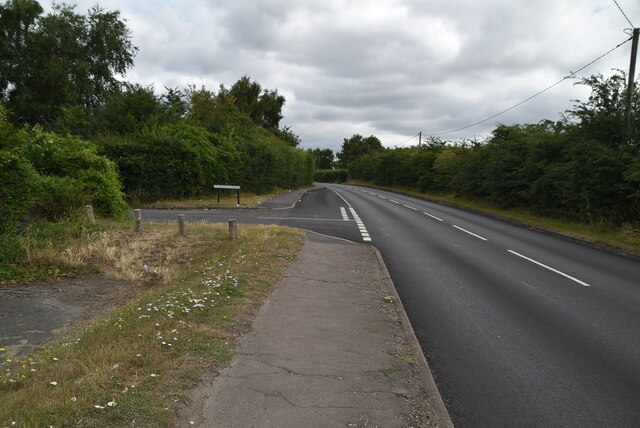
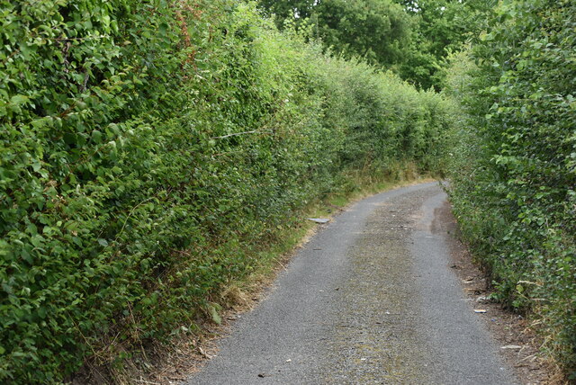
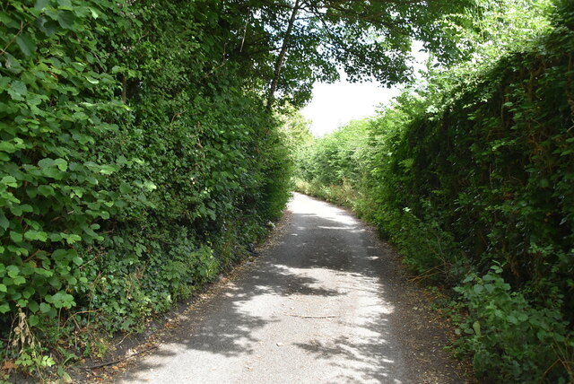
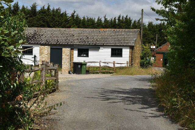
Faesten Dic is located at Grid Ref: TQ5071 (Lat: 51.422, Lng: 0.165)

Administrative County: Kent

District: Dartford

Police Authority: Kent

What 3 Words

///below.turkey.glory. Near Bexley, London

Nearby Locations

Faesten Dic Joyden's Wood

Related Wikis

Joyden's Wood

Joyden's Wood is an area of ancient woodland that straddles the border between the London Borough of Bexley in South East London and the Borough of Dartford...

Bowmans, Kent

Bowmans is a part of the town of Dartford in Kent, England. It is located to the south-west of the town centre.

Maypole, Dartford

Maypole is a village in the Borough of Dartford in Kent, England. It is located north of Joyden's Wood and south-west of the town of Dartford. In the 2021...

Bexley Hospital

Bexley Hospital was a psychiatric hospital at Old Bexley Lane, Dartford Heath, Bexley, in the County of Kent. It operated between 19 September 1898 and...

Nearby Amenities

Located within 500m of 51.422,0.165
Turning Circle
Lat/Long: 51.4231314/0.1667554
Turning Circle
Lat/Long: 51.4233906/0.1714605
Fernheath Way
Lat/Long: 51.4211878/0.1701961
Turning Circle
Lat/Long: 51.4210009/0.1705637
Turning Circle
Lat/Long: 51.4224279/0.1624112
Turning Circle
Lat/Long: 51.4233475/0.1627815
Place Of Worship
Full Gospel Church Alfan Lane
Created By: Potlatch 0.8a
Religion: christian
Lat/Long: 51.4194619/0.1696382
Barrier: kissing_gate
Wheelchair: yes
Lat/Long: 51.4196403/0.1600499
Barrier: stile
Lat/Long: 51.4202816/0.1610022
Turning Circle
Lat/Long: 51.4210229/0.1673625
Squires Way
Bus: yes
Public Transport: stop_position
Source: survey
Lat/Long: 51.4231071/0.1654962
Post Box
Operator: Royal Mail
Operator Wikidata: Q638098
Post Box Type: wall
Ref: DA2 381
Royal Cypher: EIIR
Royal Cypher Wikidata: Q33102113
Source: survey
Lat/Long: 51.4229216/0.165518
Bench
Lat/Long: 51.4251425/0.1599679
Bench
Backrest: yes
Mapillary: 2995064827486379
Survey Date: 2018-02-11
Lat/Long: 51.4211879/0.1613065
Bench
Lat/Long: 51.4212356/0.1614771
Bus Stop
Fernheath Way
Bench: no
Layby: no
Local Ref: opp
Naptan AtcoCode: 2400A020840A
Naptan Bearing: W
Naptan BusStopType: MKD
Naptan CommonName: Fernheath Way
Naptan Indicator: opp
Naptan Landmark: Fernheath Way
Naptan NaptanCode: kntawdwt
Naptan RevisionNumber: 4
Naptan Status: act
Naptan Street: Summerhouse Drive
Note: name change to reflect sign.
Public Transport: platform
Ref: 49152
Shelter: no
Source: naptan_import
Source Date: 2018-04-26
Tactile Paving: no
Lat/Long: 51.4207775/0.169753
Bus Stop
Squires Way
Bench: no
Layby: no
Local Ref: opp
Naptan AtcoCode: 2400A020850A
Naptan Bearing: NW
Naptan BusStopType: MKD
Naptan CommonName: Squires Way
Naptan Indicator: opp
Naptan Landmark: Squires Way
Naptan NaptanCode: kntawgad
Naptan RevisionNumber: 3
Naptan Status: act
Naptan Street: Summerhouse Drive
Public Transport: platform
Ref: 47204
Shelter: no
Source: naptan_import
Source Date: 2018-04-26
Tactile Paving: no
Lat/Long: 51.4219683/0.1659953
Bus Stop
Squires Way
Bench: no
Layby: no
Local Ref: adj
Naptan AtcoCode: 2400A020940A
Naptan Bearing: S
Naptan BusStopType: MKD
Naptan CommonName: Squires Way
Naptan Indicator: adj
Naptan Landmark: Squires Way
Naptan NaptanCode: kntawgat
Naptan RevisionNumber: 2
Naptan Status: act
Naptan Street: Summerhouse Drive
Public Transport: platform
Ref: 71318
Shelter: no
Source: naptan_import
Source Date: 2018-04-26
Tactile Paving: no
Lat/Long: 51.4230884/0.1655655
Bus Stop
Fernheath Way
Bench: no
Layby: no
Local Ref: adj
Naptan AtcoCode: 2400A020950A
Naptan Bearing: E
Naptan BusStopType: MKD
Naptan CommonName: Fernheath Way
Naptan Indicator: adj
Naptan Landmark: Fernheath Way
Naptan NaptanCode: kntawgaw
Naptan RevisionNumber: 5
Naptan Status: act
Naptan Street: Summerhouse Drive
Note: name change to reflect sign.
Public Transport: platform
Ref: 48528
Shelter: no
Source: naptan_import
Source Date: 2018-04-26
Tactile Paving: no
Lat/Long: 51.4209085/0.1695823
Bus Stop
Greenfield Road
Bench: no
Layby: no
Local Ref: opp
Naptan AtcoCode: 2400A020960A
Naptan Bearing: SE
Naptan BusStopType: MKD
Naptan CommonName: Greenfield Road
Naptan Indicator: opp
Naptan Landmark: Greenfield Road
Naptan NaptanCode: kntawgda
Naptan RevisionNumber: 4
Naptan Status: act
Naptan Street: Summerhouse Drive
Public Transport: platform
Ref: 75531
Shelter: no
Source: naptan_import
Source Date: 2018-04-26
Tactile Paving: no
Lat/Long: 51.4204315/0.1710237
Gray & Sons Butchers
Addr City: Dartford
Addr Postcode: DA2 7NJ
Addr Street: Woodside Drive
Addr Substreet: Birchwood Parade
Addr Unit: 9
Fhrs Id: 1357589
Opening Hours: Mo-Fr 08:00-17:00; Sa 08:00-16:00
Phone: +44 1322 558532
Shop: butcher
Source Addr: FHRS Open Data
Survey Date: 2021-11-01
Lat/Long: 51.4237265/0.1713913
Bicycle Parking
Summerhouse Drive Library
Capacity: 4
Lat/Long: 51.426166/0.1669183
Turning Circle
Lat/Long: 51.4203806/0.1694867
Mark Anthony Hair
Addr City: Dartford
Addr Street: Woodside Drive
Addr Substreet: Birchwood Parade
Phone: +44 1322 524251
Shop: hairdresser
Survey Date: 2021-11-01
Lat/Long: 51.4235884/0.1716976
J & R Food & Wine Ltd
Addr City: Dartford
Addr Postcode: DA2 7NJ
Addr Street: Woodside Drive
Addr Substreet: Birchwood Parade
Addr Unit: 7
Fhrs Id: 1407191
Shop: alcohol
Survey Date: 2021-11-01
Lat/Long: 51.4236575/0.1715445
The White Room
Addr City: Dartford
Addr Street: Woodside Drive
Addr Substreet: Birchwood Parade
Shop: beauty
Survey Date: 2021-11-01
Lat/Long: 51.423623/0.1716211
Dave's Corner Shop
Addr City: Dartford
Addr Housenumber: 10
Addr Postcode: DA2 7NJ
Addr Street: Woodside Drive
Addr Substreet: Birchwood Parade
Addr Unit: 10
Fhrs Id: 13364
Opening Hours: Mo-Sa 07:30-20:30; Su 08:00-16:00
Shop: convenience
Source Addr: FHRS Open Data
Survey Date: 2021-11-01
Lat/Long: 51.423761/0.1713147
PDS Communications
Addr City: Dartford
Addr Street: Woodside Drive
Addr Substreet: Birchwood Parade
Phone: +44 1322 526185
Shop: computer
Survey Date: 2021-11-01
Lat/Long: 51.423692/0.1714679
Greenfield Road
Bus: yes
Public Transport: stop_position
Source: survey
Lat/Long: 51.4203934/0.171003
Fernheath Way
Bus: yes
Public Transport: stop_position
Source: survey
Lat/Long: 51.4208239/0.1698117
Fernheath Way
Bus: yes
Public Transport: stop_position
Source: survey
Lat/Long: 51.4208869/0.1695456
Squires Way
Bus: yes
Public Transport: stop_position
Source: survey
Lat/Long: 51.4220114/0.1660645
Bench
Colour: brown
Material: wood
Seats: 2
Lat/Long: 51.4222428/0.1579382
Bench
Backrest: yes
Seats: 3
Source: survey
Lat/Long: 51.419553/0.1634887
Turning Circle
Lat/Long: 51.4221823/0.1721338
Generator Method: photovoltaic
Generator Orientation: 135
Generator Source: solar
Location: roof
Power: generator
Lat/Long: 51.4235503/0.1665291
Generator Method: photovoltaic
Generator Orientation: 100
Generator Source: solar
Location: roof
Power: generator
Lat/Long: 51.4240336/0.1657313
Generator Method: photovoltaic
Generator Orientation: 280
Generator Source: solar
Location: roof
Power: generator
Lat/Long: 51.4240468/0.1656611
Generator Method: photovoltaic
Generator Orientation: 90
Generator Source: solar
Location: roof
Power: generator
Lat/Long: 51.4238738/0.1661881
Generator Method: photovoltaic
Generator Orientation: 280
Generator Source: solar
Location: roof
Power: generator
Lat/Long: 51.4238687/0.1661147
Turning Circle
Lat/Long: 51.4200713/0.1666986
Post Office
Joydens Wood Post Office
Addr City: Dartford
Addr Postcode: DA2 7NJ
Addr Street: Woodside Drive
Addr Substreet: Birchwood Parade
Addr Unit: 6
Opening Hours: Mo-Fr 06:30-19:00; Sa 07:00-19:00; Su 07:30-13:00
Ref Pol Id: 135640
Lat/Long: 51.4236417/0.1715213
Playground: slide
Lat/Long: 51.4229965/0.1717207
Natural: cave_entrance
Lat/Long: 51.4186611/0.1653565
Natural: cave_entrance
Lat/Long: 51.4188749/0.164828
Deneholes
Natural: cave_entrance
Lat/Long: 51.4187596/0.1651177
Marker: post
Operator: Dartford Orienteers
Orienteering: marker
Ref: F
Sport: orienteering
Website: https://www.dfok.co.uk/
Lat/Long: 51.4220579/0.1584555
Marker: post
Operator: Dartford Orienteers
Orienteering: marker
Ref: D
Sport: orienteering
Website: https://www.dfok.co.uk/
Lat/Long: 51.4207213/0.1629105
Entrance: yes
Lat/Long: 51.4262143/0.1668565
The data included in this document is from www.openstreetmap.org. The data is made available under ODbL.

Have you been to Faesten Dic?

Leave your review of Faesten Dic below (or comments, questions and feedback).