Ebury Hill
Heritage Site in Shropshire
England
Ebury Hill

Ebury Hill, located in Shropshire, England, is a significant heritage site of historical and archaeological importance. Situated near the village of Ebury, it is a prominent hillfort that dates back to the Iron Age, with evidence of occupation spanning several centuries.
The hillfort at Ebury Hill covers an area of approximately 6.5 hectares and is surrounded by impressive earthworks, including steep ramparts and ditches. These fortifications were constructed for defensive purposes, offering strategic advantages to its inhabitants. The site also features a well-preserved entrance, which showcases the engineering skills of its ancient builders.
Excavations and research conducted at Ebury Hill have revealed a range of fascinating discoveries. These include the remains of numerous roundhouses, indicating a thriving community within the hillfort. Archaeologists have uncovered various artifacts such as pottery, tools, and animal bones, shedding light on the daily activities and lifestyle of its inhabitants.
Ebury Hill has long been recognized as a significant site, attracting the attention of historians, archaeologists, and enthusiasts alike. Its strategic location and well-preserved earthworks provide valuable insights into the Iron Age society and its defensive structures. The site offers a unique opportunity to explore and understand the ancient past, contributing to our knowledge of the region's history.
Today, Ebury Hill remains an important heritage site and is open to the public. Visitors can enjoy guided tours, educational programs, and exhibits that showcase the rich archaeological heritage of the area. The site offers a captivating glimpse into the lives of its Iron Age inhabitants, making it a must-visit destination for history enthusiasts and those interested in ancient civilizations.
If you have any feedback on the listing, please let us know in the comments section below.
Ebury Hill Images
Images are sourced within 2km of 52.743/-2.673 or Grid Reference SJ5416. Thanks to Geograph Open Source API. All images are credited.


Ebury Hill is located at Grid Ref: SJ5416 (Lat: 52.743, Lng: -2.673)
What 3 Words
///list.rarely.loudly. Near Astley, Shropshire
Nearby Locations
Related Wikis
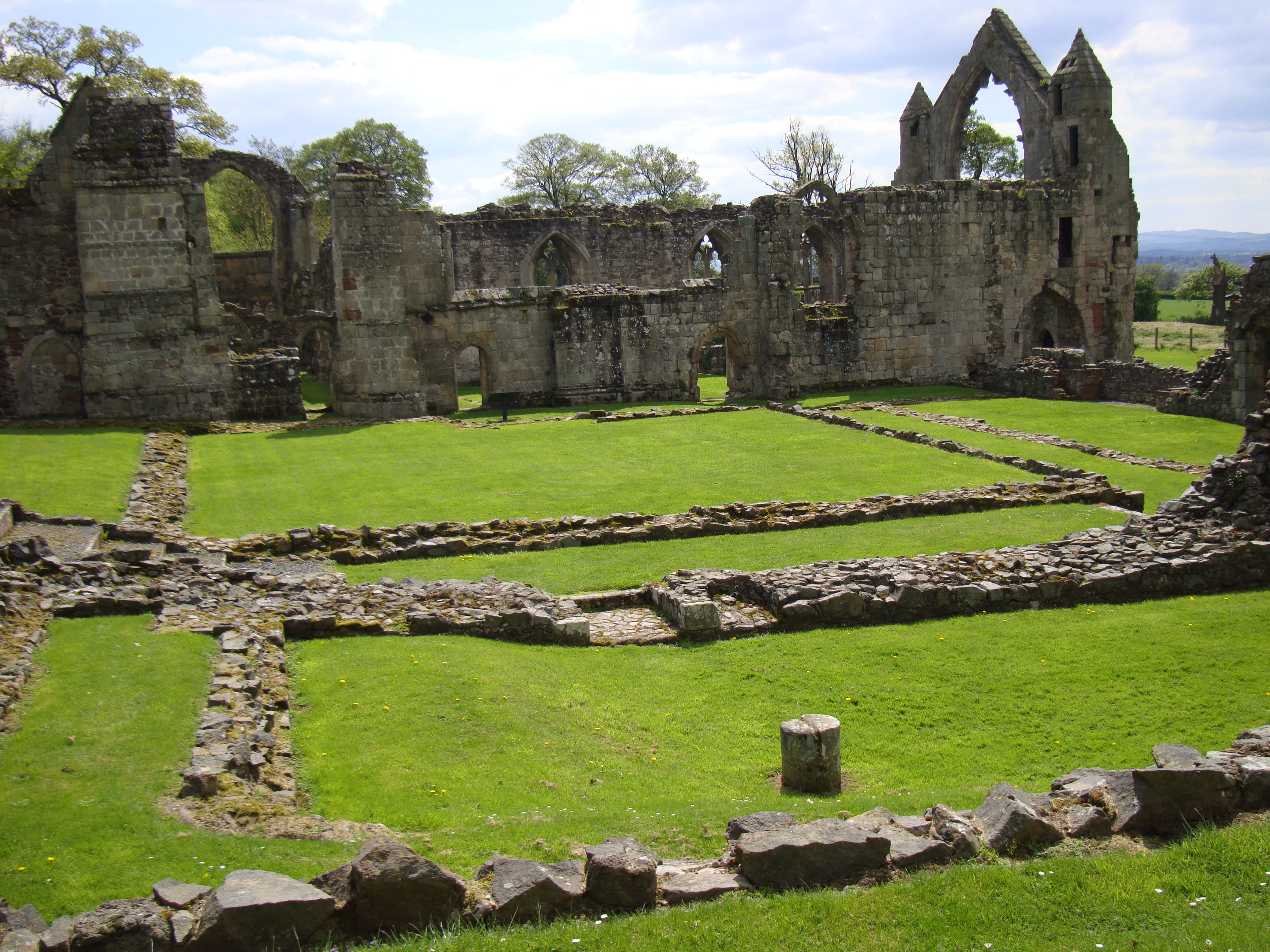
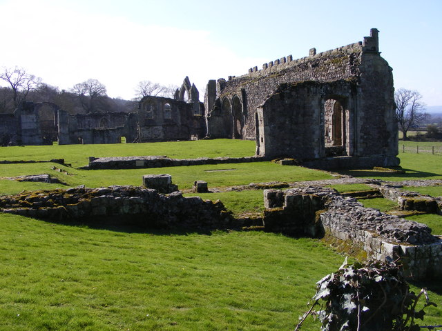
Haughmond Abbey
Haughmond Abbey (locally HOR-mənd) is a ruined, medieval, Augustinian monastery a few miles from Shrewsbury, England. It was probably founded in the early...
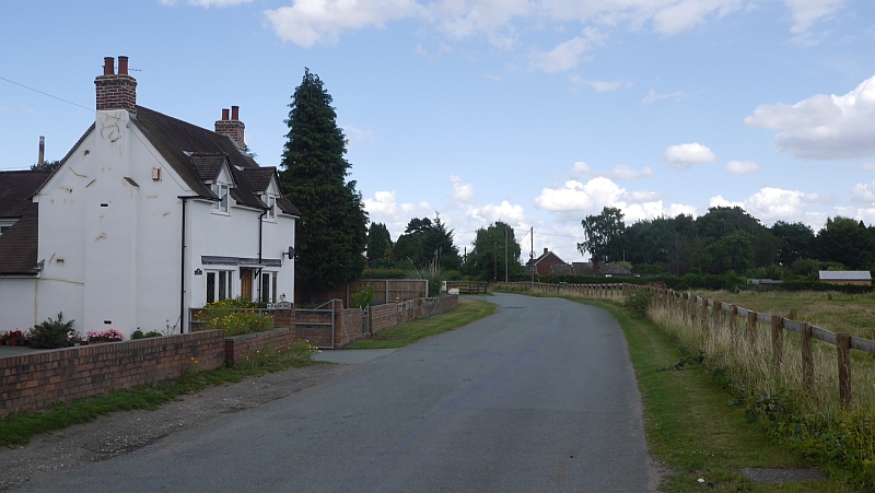
Bings Heath
Bings Heath is a small village in Shropshire, England. It lies on the A53 near to the village of Astley. It is in the parish of Astley, north of Shrewsbury...
Roden, Shropshire
Roden is a hamlet in the borough of Telford and Wrekin and ceremonial county of Shropshire, England, six miles northeast of Shrewsbury. The little River...
Uffington, Shropshire
Uffington () is a village and civil parish in the English county of Shropshire. The population of the civil parish at the 2011 census was 234. It lies...
Nearby Amenities
Located within 500m of 52.743,-2.673Have you been to Ebury Hill ?
Leave your review of Ebury Hill below (or comments, questions and feedback).