Ebbsfleet
Heritage Site in Kent Thanet
England
Ebbsfleet

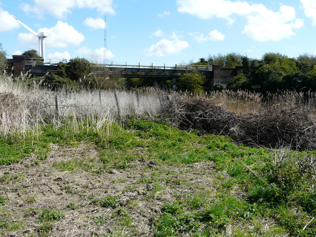
Ebbsfleet is a heritage site located in the county of Kent, in southeastern England. Situated near the town of Gravesend, it is an area of historical significance and natural beauty. The site is named after the River Ebbsfleet, which flows through the area, and is known for its diverse landscapes, including marshland, grassland, and woodland.
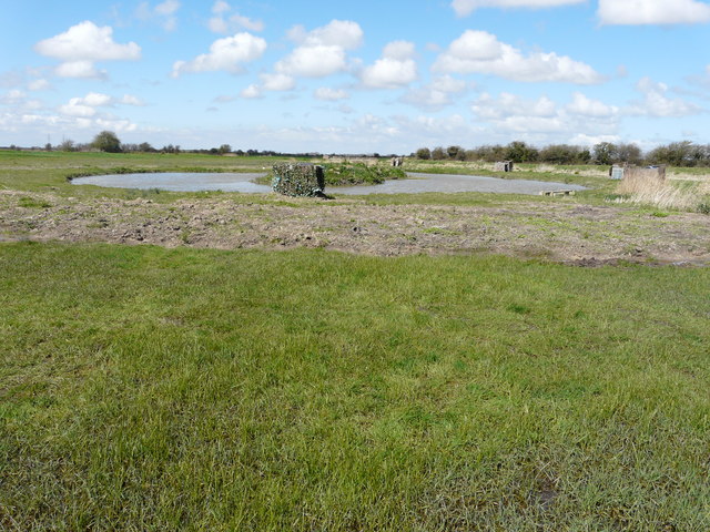
Ebbsfleet has a rich history dating back thousands of years. It was once a vital location during Roman times, serving as a port for trade and transportation. The remains of ancient Roman structures, including a villa and a bathhouse, have been discovered at the site, providing valuable insights into the region's past.
In addition to its historical importance, Ebbsfleet is renowned for its ecological significance. The area is home to a variety of flora and fauna, including rare bird species and diverse plant life. It has been designated as a Site of Special Scientific Interest (SSSI) and is protected to preserve its unique ecosystems.
Visitors to Ebbsfleet can explore the site's heritage and natural beauty through guided tours and walking trails. The area offers stunning views of the river and surrounding countryside, making it a popular destination for nature enthusiasts and photographers.
Overall, Ebbsfleet is a fascinating heritage site that combines historical significance with natural beauty. Its rich history, diverse landscapes, and ecological importance make it a must-visit location for those interested in exploring Kent's past and enjoying its natural wonders.
If you have any feedback on the listing, please let us know in the comments section below.
Ebbsfleet Images
Images are sourced within 2km of 51.322/1.352 or Grid Reference TR3363. Thanks to Geograph Open Source API. All images are credited.


Ebbsfleet is located at Grid Ref: TR3363 (Lat: 51.322, Lng: 1.352)
Administrative County: Kent
District: Thanet
Police Authority: Kent
What 3 Words
///points.repaid.diver. Near Ramsgate, Kent
Nearby Locations
Related Wikis

Sandwich and Pegwell Bay
Sandwich and Pegwell Bay is a 615-hectare (1,520-acre) nature reserve in Kent, managed by the Kent Wildlife Trust. It is a National Nature Reserve, and...

Ebbsfleet, Thanet
Ebbsfleet is a hamlet near Ramsgate, Kent, at the head of Pegwell Bay. Historically it was a peninsula on the southern coast of the Isle of Thanet, marking...
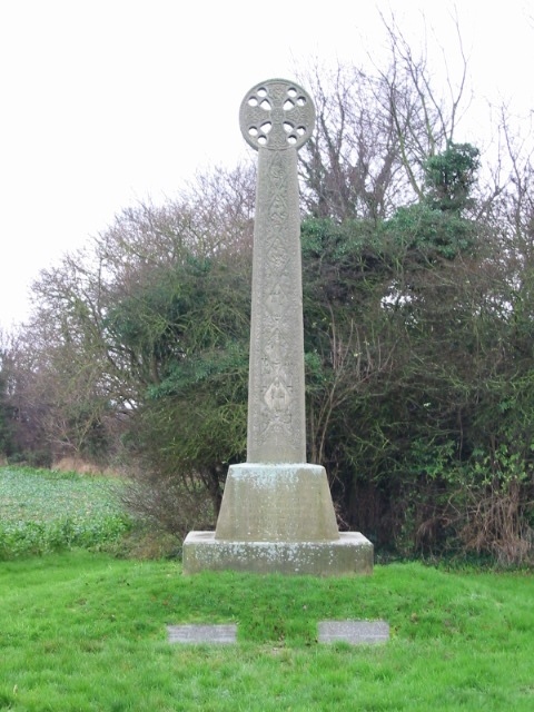
St Augustine's Cross
St Augustine's Cross is a stone memorial in Kent, in a fenced enclosure on the south side of Cottington Road, west of Cliffs End, at Pegwell Bay, Thanet...

Ebbsfleet and Cliffsend Halt railway station
Ebbsfleet and Cliffsend Halt railway station served the hamlet of Ebbsfleet, Thanet, Kent, England from 1908 to 1933 on the Kent Coast Line. == History... ==
Battle of Wippedesfleot
The Battle of Wippedesfleot was a battle in 466 between the Anglo-Saxons (or Jutes), led by Hengest, and the Britons. It is described in the Anglo-Saxon...

Sevenscore
Sevenscore is a hamlet on the B2048 secondary road about one mile (1.6 km) east of Minster-in-Thanet in Kent, England. It is in the civil parish of Minster...
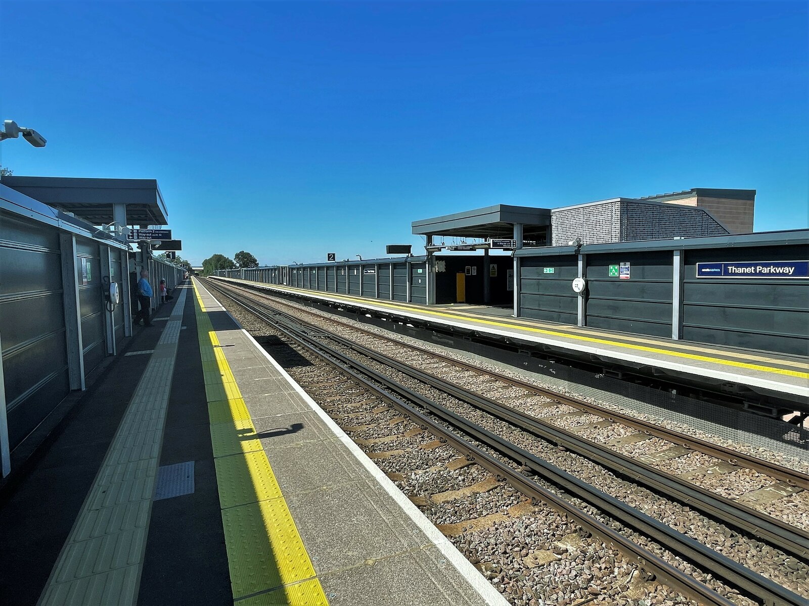
Thanet Parkway railway station
Thanet Parkway railway station is a railway station in Cliffsend, Kent, that serves Discovery Park Enterprise Zone and new housing developments. It opened...

Cliffsend
Cliffsend is a village (sometimes written, correctly, as Cliffs End) and civil parish situated almost 2 miles (3 km) west of Ramsgate, Kent, United Kingdom...
Nearby Amenities
Located within 500m of 51.322,1.352Have you been to Ebbsfleet?
Leave your review of Ebbsfleet below (or comments, questions and feedback).