Cottington Hill
Hill, Mountain in Kent Thanet
England
Cottington Hill

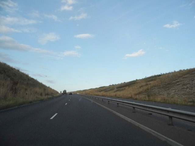
Cottington Hill, located in Kent, England, is a prominent hill known for its picturesque landscapes and historical significance. Standing at an elevation of approximately 188 meters (617 feet), it is considered a notable landmark in the region. The hill is part of the North Downs, a range of chalk hills that stretches across southeast England.
Cottington Hill boasts breathtaking views of the surrounding countryside, with its rolling green fields and meandering rivers. It is a popular destination for nature enthusiasts, hikers, and photographers, who are drawn to its natural beauty and tranquility. The hill is adorned with an assortment of flora and fauna, including wildflowers, oak trees, and various bird species.
The historical significance of Cottington Hill can be traced back to the Iron Age, as archaeological remains have been discovered in the area. These include ancient burial mounds and remnants of Iron Age settlements, suggesting that the hill was inhabited thousands of years ago. Furthermore, during the medieval period, Cottington Hill was used as a site for quarrying chalk, which was then used for construction purposes.
Today, Cottington Hill offers visitors the opportunity to explore its trails and soak in the stunning vistas. A network of footpaths and bridleways crisscrosses the hill, providing access to its various viewpoints. Additionally, the hill is home to a diverse array of wildlife, making it a haven for nature lovers. Cottington Hill truly encapsulates the natural beauty and rich history that Kent has to offer.
If you have any feedback on the listing, please let us know in the comments section below.
Cottington Hill Images
Images are sourced within 2km of 51.326739/1.3524311 or Grid Reference TR3363. Thanks to Geograph Open Source API. All images are credited.


Cottington Hill is located at Grid Ref: TR3363 (Lat: 51.326739, Lng: 1.3524311)
Administrative County: Kent
District: Thanet
Police Authority: Kent
What 3 Words
///skidding.hurls.recording. Near Ramsgate, Kent
Nearby Locations
Related Wikis

Ebbsfleet and Cliffsend Halt railway station
Ebbsfleet and Cliffsend Halt railway station served the hamlet of Ebbsfleet, Thanet, Kent, England from 1908 to 1933 on the Kent Coast Line. == History... ==
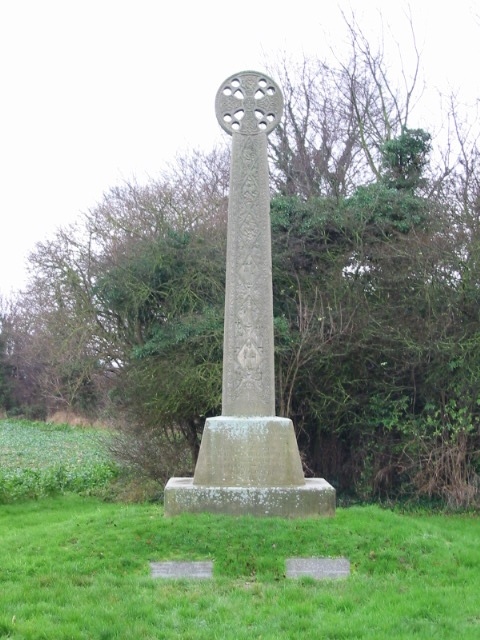
St Augustine's Cross
St Augustine's Cross is a stone memorial in Kent, in a fenced enclosure on the south side of Cottington Road, west of Cliffs End, at Pegwell Bay, Thanet...

Sevenscore
Sevenscore is a hamlet on the B2048 secondary road about one mile (1.6 km) east of Minster-in-Thanet in Kent, England. It is in the civil parish of Minster...
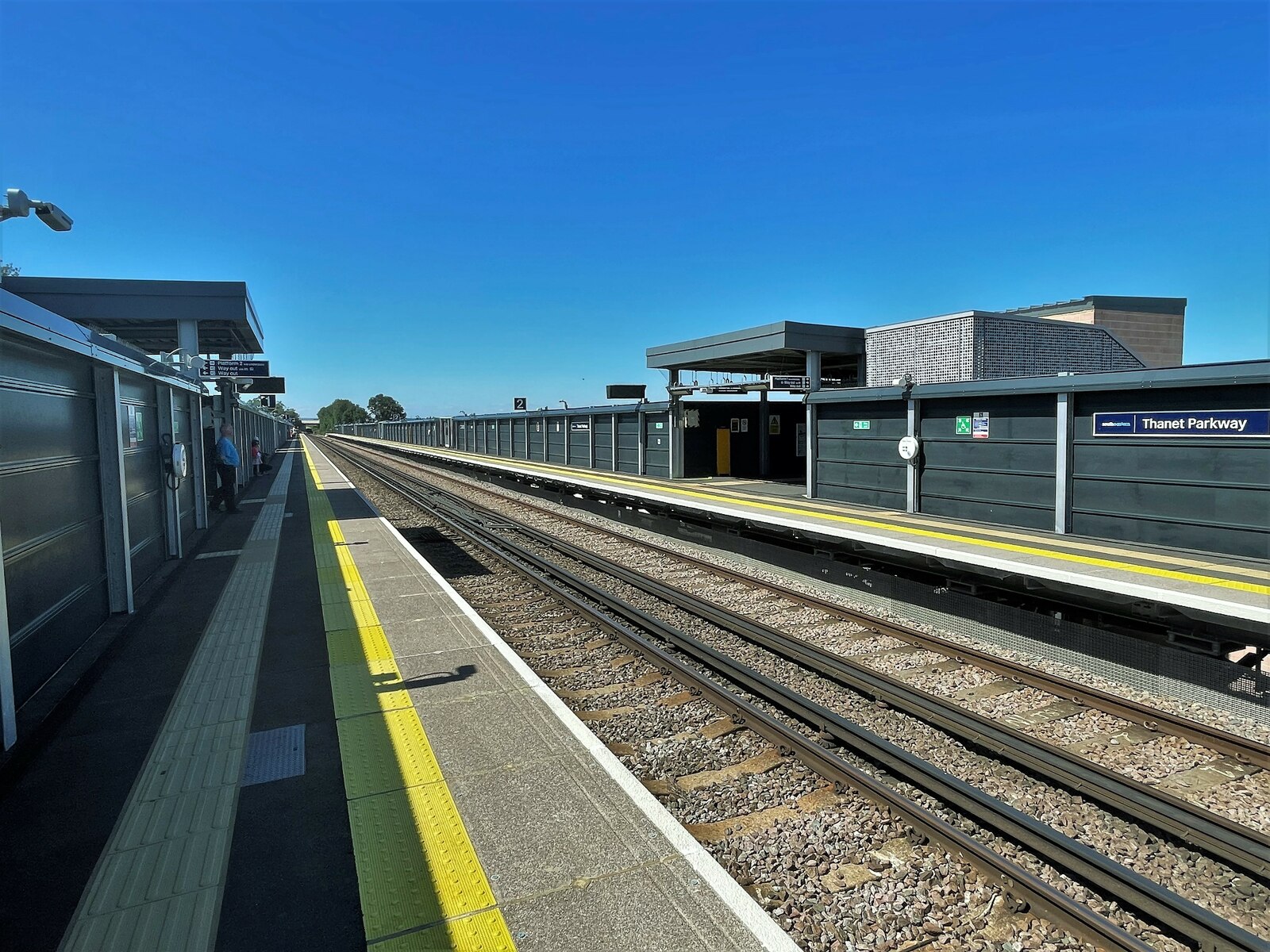
Thanet Parkway railway station
Thanet Parkway railway station is a railway station in Cliffsend, Kent, that serves Discovery Park Enterprise Zone and new housing developments. It opened...

Sandwich and Pegwell Bay
Sandwich and Pegwell Bay is a 615-hectare (1,520-acre) nature reserve in Kent, managed by the Kent Wildlife Trust. It is a National Nature Reserve, and...

Cliffsend
Cliffsend is a village (sometimes written, correctly, as Cliffs End) and civil parish situated almost 2 miles (3 km) west of Ramsgate, Kent, United Kingdom...

Ebbsfleet, Thanet
Ebbsfleet is a hamlet near Ramsgate, Kent, at the head of Pegwell Bay. Historically it was a peninsula on the southern coast of the Isle of Thanet, marking...
Battle of Wippedesfleot
The Battle of Wippedesfleot was a battle in 466 between the Anglo-Saxons (or Jutes), led by Hengest, and the Britons. It is described in the Anglo-Saxon...
Nearby Amenities
Located within 500m of 51.326739,1.3524311Have you been to Cottington Hill?
Leave your review of Cottington Hill below (or comments, questions and feedback).