Metcombe
Settlement in Devon East Devon
England
Metcombe
Metcombe is a small village located in the county of Devon, England. Situated in the eastern part of the county, it lies just south of the market town of Honiton. Metcombe is a quintessential rural community that is known for its picturesque landscapes and tranquil atmosphere.
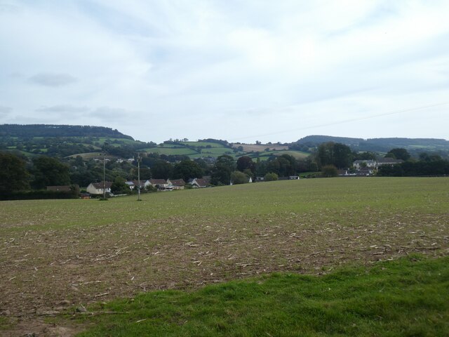
The village is characterized by its charming thatched cottages, narrow lanes, and rolling hills. It is surrounded by lush green fields and meadows, adding to its idyllic setting. The local economy primarily revolves around agriculture, with farming being the predominant occupation for the residents.
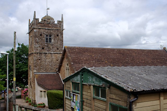
Metcombe is home to a close-knit community that takes pride in preserving its rich history and traditions. The village features a small church, St. John the Baptist, which dates back to the 13th century. This historic place of worship is cherished by the locals and adds to the village's cultural heritage.
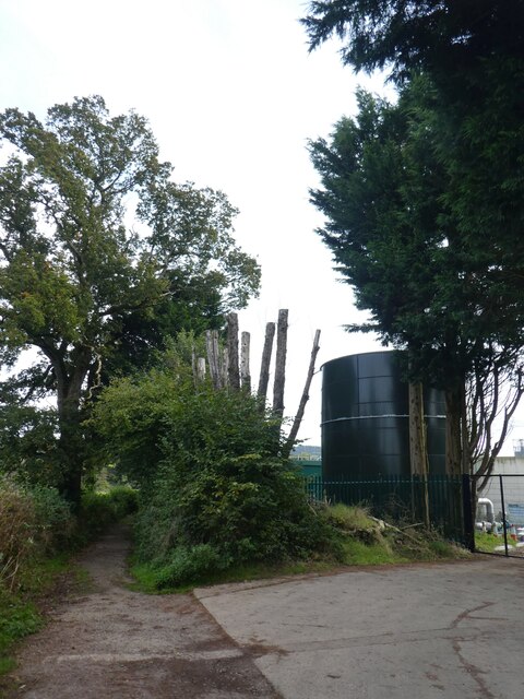
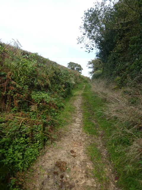
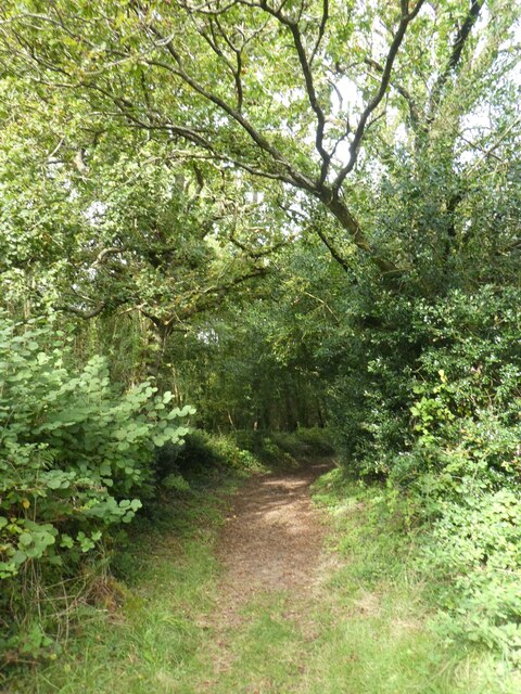
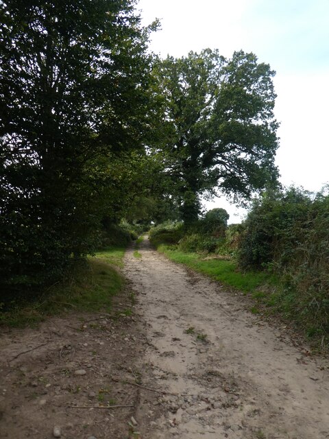
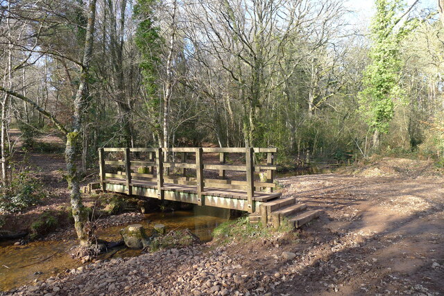
The countryside surrounding Metcombe offers ample opportunities for outdoor activities and exploration. The area is traversed by numerous footpaths and bridleways, making it a popular destination for walkers, hikers, and cyclists. The nearby Blackdown Hills Area of Outstanding Natural Beauty provides stunning vistas and is a haven for wildlife enthusiasts.
While Metcombe itself is a tranquil and peaceful village, it benefits from its proximity to larger towns and cities. Honiton, with its range of amenities and services, is just a short distance away, making it convenient for residents to access essential facilities.
In summary, Metcombe is a charming rural village in Devon, offering a peaceful retreat from the hustle and bustle of city life. With its picturesque landscapes, rich history, and close-knit community, it is a place that captures the essence of countryside living.
If you have any feedback on the listing, please let us know in the comments section below.
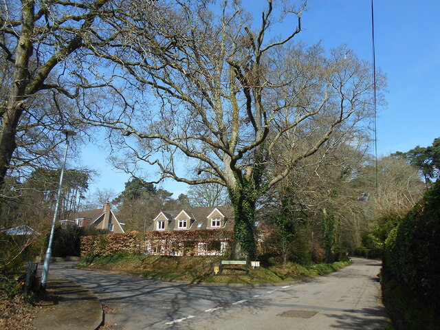
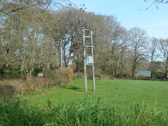
Metcombe Images
Images are sourced within 2km of 50.718509/-3.315969 or Grid Reference SY0791. Thanks to Geograph Open Source API. All images are credited.


Metcombe is located at Grid Ref: SY0791 (Lat: 50.718509, Lng: -3.315969)
Administrative County: Devon
District: East Devon
Police Authority: Devon and Cornwall
What 3 Words
///majors.snored.cautious. Near Newton Poppleford, Devon
Nearby Locations
Related Wikis

Venn Ottery
Venn Ottery, historically also spelt Fen Ottery, is a small village and former civil parish, now in the parish of Newton Poppleford and Harpford, in the...

Fluxton
Fluxton is a hamlet situated in the Otter Valley, East Devon. It is made up predominantly of old farmhouses and new barn conversions and has a population...
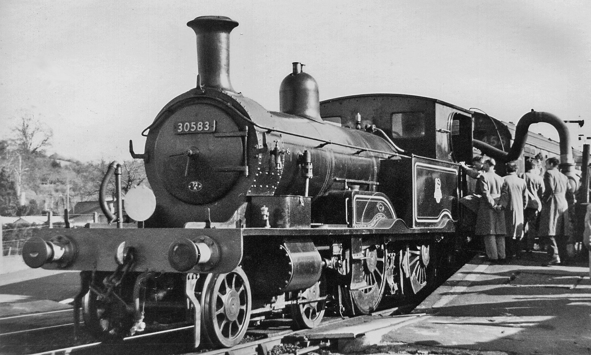
Tipton St Johns railway station
Tipton St Johns railway station is a closed railway station that served the village of Tipton St John in Devon, England. It was opened in 1874 and later...
Tipton St John
Tipton St John is a village in the civil parish of Ottery St Mary in the English county of Devon. It has a population of around 350. The village is built...
West Hill, Devon
West Hill is a village in the East Devon district of Devon, England. The village lies approximately 2 miles south west of Ottery St Mary, its nearest town...

Fire Beacon Hill
Fire Beacon Hill is a Local Nature Reserve in East Devon, England. It is registered as Common land and known as Harpford Common. Sidmouth Town Council...
Newton Poppleford and Harpford
Newton Poppleford and Harpford is a civil parish in East Devon, England. It is surrounded clockwise from the north by the parishes of Ottery St Mary, Sidmouth...
Belbury Castle
Belbury Castle is the name given to an Iron Age earthwork, probably a hill fort or livestock enclosure, close to Ottery St Mary in Devon, England. The...
Nearby Amenities
Located within 500m of 50.718509,-3.315969Have you been to Metcombe?
Leave your review of Metcombe below (or comments, questions and feedback).