Dùn Thomaidh

Heritage Site in Inverness-shire

Scotland

Dùn Thomaidh

Old Milestone by the A865, Druim nan Dearcag, North Uist parish Granite slab by the A865, in parish of North Uist (North Uist District), Druim nan Dearcag, in reeds on verge, on long straight near fence at right angles to road.

Inscription not recorded.

Surveyed

Milestone Society National ID: WI_NUCW10
Old Milestone by the A865, Druim nan Dearcag, North Uist parish Credit: Milestone Society

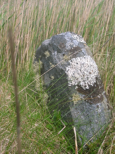
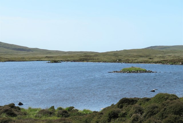
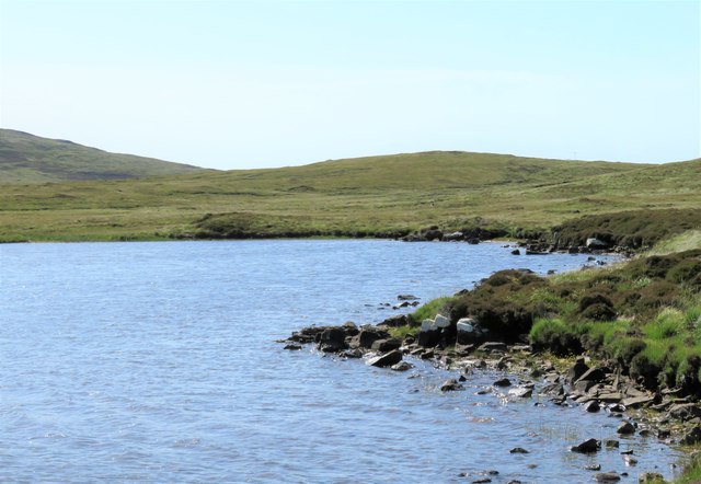
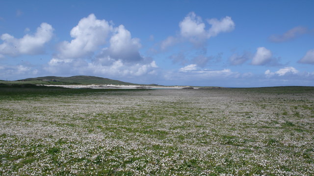
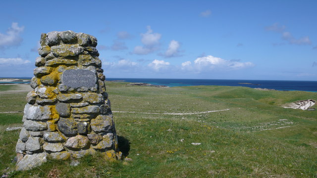
Dùn Thomaidh is an ancient hillfort located in Inverness-shire, Scotland. The site dates back to the Iron Age, with evidence suggesting it was occupied from around 500 BC to 200 AD. The hillfort is situated on a prominent hill overlooking the surrounding landscape, providing strategic advantages for its inhabitants.

The site consists of a series of earthworks and defensive structures, including a stone rampart and ditch system. These features would have helped to protect the inhabitants from potential invaders and offered a vantage point for monitoring activity in the area.

Dùn Thomaidh is a significant heritage site, providing insights into the lives and practices of the people who lived in the area during the Iron Age. The site has been excavated by archaeologists, uncovering artifacts such as pottery, tools, and evidence of domestic structures.

Today, Dùn Thomaidh is a popular destination for visitors interested in Scotland's ancient history. The site offers stunning views of the surrounding countryside and serves as a reminder of the rich archaeological heritage of Inverness-shire.

If you have any feedback on the listing, please let us know in the comments section below.
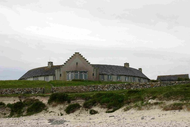
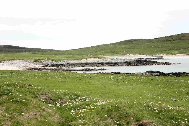
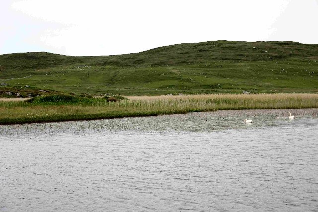
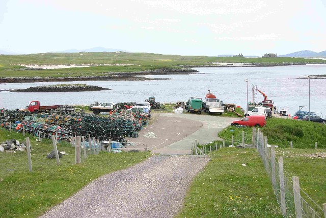
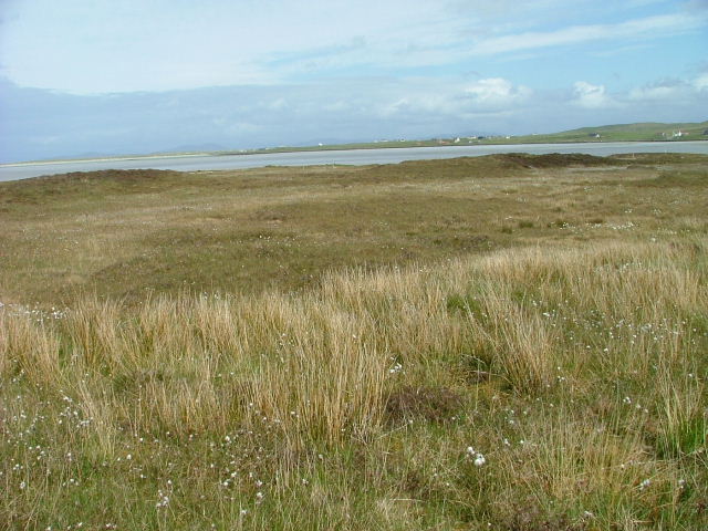
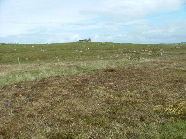
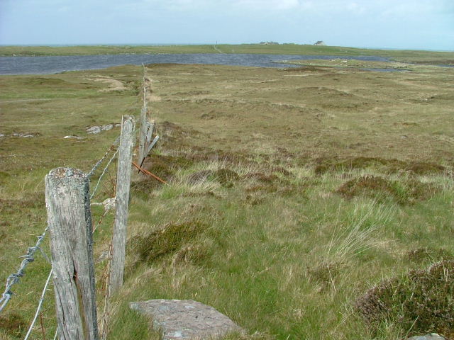
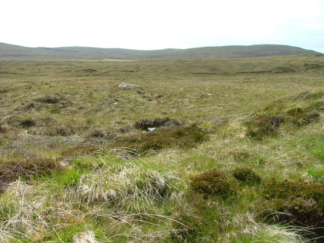
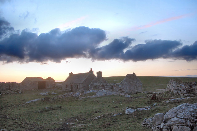
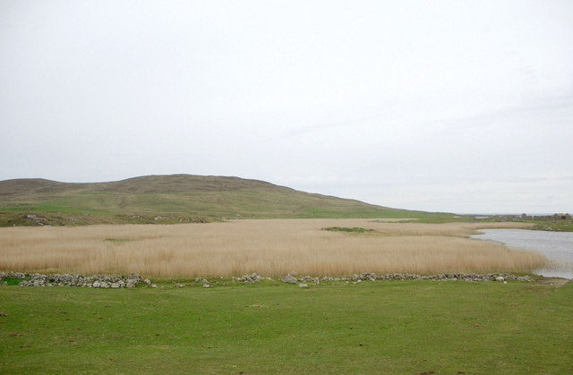
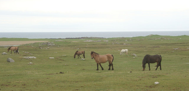
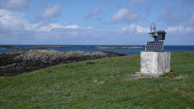
Dùn Thomaidh Images

Images are sourced within 2km of 57.652/-7.442 or Grid Reference NF7575. Thanks to Geograph Open Source API. All images are credited.

Old Milestone by the A865, Druim nan Dearcag, North Uist parish Granite slab by the A865, in parish of North Uist (North Uist District), Druim nan Dearcag, in reeds on verge, on long straight near fence at right angles to road.

Inscription not recorded.

Surveyed

Milestone Society National ID: WI_NUCW10
Old Milestone by the A865, Druim nan Dearcag, North Uist parish
Granite slab by the A865, in parish of North Uist (North Uist District), Druim nan Dearcag, in reeds on verge, on long straight near fence at right angles to road. Inscription not recorded. Surveyed Milestone Society National ID: WI_NUCW10
Loch na Gearrachun The tiny island is the site of a dun, whilst the stone causeway leading to it can just be seen to the right.
Loch na Gearrachun
The tiny island is the site of a dun, whilst the stone causeway leading to it can just be seen to the right.
Loch Fada na Gearrachun Small thin loch linked to its larger neighbour by a small channel.
Loch Fada na Gearrachun
Small thin loch linked to its larger neighbour by a small channel.
Erskine Beveridge's house on Bhalaigh The abandoned house of the historian Erskine Beveridge.
Erskine Beveridge's house on Bhalaigh
The abandoned house of the historian Erskine Beveridge.
Callernish House Callernish House was built in 1961 by the 5th Earl Granville. Designed by Sir Martyn Beckett, it has 14 bedrooms and 8 bathrooms. It is listed as a folly in Headley and Meulenkamp's Follies, the standard guide to follies in Britain
Callernish House
Callernish House was built in 1961 by the 5th Earl Granville. Designed by Sir Martyn Beckett, it has 14 bedrooms and 8 bathrooms. It is listed as a folly in Headley and Meulenkamp's Follies, the standard guide to follies in Britain
View from Calarnais View from Calarnais over bay to the West
View from Calarnais
View from Calarnais over bay to the West
Dun in Loch an Eilean Picture taken from East side of the Loch
Dun in Loch an Eilean
Picture taken from East side of the Loch
Pier with Bhalaigh in the background
Machair Looking towards Tràigh Bhàlaigh.
Machair
Looking towards Tràigh Bhàlaigh.
Ruin on the Moorland Looking southwest from the A865.
Ruin on the Moorland
Looking southwest from the A865.
Fence running to Loch Olabhat Houses at Griminis in the distance.
Fence running to Loch Olabhat
Houses at Griminis in the distance.
Open Moorland Looking towards Beinn Riabhach.
Open Moorland
Looking towards Beinn Riabhach.
Settlement ruins, Griminish Evening view of ruined buildings in a former settlement at Griminish.
Settlement ruins, Griminish
Evening view of ruined buildings in a former settlement at Griminish.
Reedbed, Loch an Eilean Looking westwards across a reedbed occupying a large part of Loch an Eilean. The hill in the background is Beinn Scolpaig.
Reedbed, Loch an Eilean
Looking westwards across a reedbed occupying a large part of Loch an Eilean. The hill in the background is Beinn Scolpaig.
Grazing land at Griminis, North Uist View looking north west of grazing land to the east of Loch an Eilean. The grazers here are horses and ponies of a riding centre.
Grazing land at Griminis, North Uist
View looking north west of grazing land to the east of Loch an Eilean. The grazers here are horses and ponies of a riding centre.
Navigation Beacon, Caolas Bhalaigh I think this beacon is used to aid navigation into the narrow and shallow Caolas Bhalaigh.
Navigation Beacon, Caolas Bhalaigh
I think this beacon is used to aid navigation into the narrow and shallow Caolas Bhalaigh.
Vallay Machair The machair is such a fine sight, no many how many times you see it.  A mass of wild flowers as far as the eye can see and buzzing with bumblebees and butterflies everywhere.
Vallay Machair
The machair is such a fine sight, no many how many times you see it. A mass of wild flowers as far as the eye can see and buzzing with bumblebees and butterflies everywhere.
George Beveridge Memorial Stone built memorial to George Beveridge 1891 - 1944.
George Beveridge Memorial
Stone built memorial to George Beveridge 1891 - 1944.
Show me another place!

Dùn Thomaidh is located at Grid Ref: NF7575 (Lat: 57.652, Lng: -7.442)

Unitary Authority: Na h-Eileanan an Iar

Police Authority: Highlands and Islands

What 3 Words

///skylights.relief.rumble. Near Lochmaddy, Na h-Eileanan Siar

Related Wikis

Eilean Dòmhnuill

Ian Armit identifies the islet of Eilean Dòmhnuill (Scottish Gaelic: Eilean Dòmhnaill, Scottish Gaelic pronunciation: [elan ˈt̪õː.ɪʎ], "The Isle of Donald...

Vallay

Vallay (Scottish Gaelic: Bhàlaigh) is an uninhabited tidal island in the Scottish Outer Hebrides. It can be reached from North Uist by a long beach at...

Scolpaig Tower

Scolpaig Tower (also known as Dùn Scolpaig or MacLeod’s Folly) is a Georgian folly located near the village of Scolpaig on the island of North Uist in...

Scolpaig

Scolpaig (Scottish Gaelic: Sgolpaig) is a district on the north-west coast of the island of North Uist in the Outer Hebrides of Scotland. In 2018 it was...

Nearby Amenities

Located within 500m of 57.652,-7.442
Seamark Information: Shown Mar. to Oct.
Seamark Light Category: vertical
Seamark Light Character: F
Seamark Light Colour: green
Seamark Light Height: 6
Seamark Light Multiple: 2
Seamark Light Range: 4
Seamark Light Reference: A 3995.8
Seamark Type: light_minor
Source: US NGA Pub. 114. 2011-05-26.
Lat/Long: 57.6542167/-7.4395
Leisure: slipway
Lat/Long: 57.6536322/-7.4392717
Barrier: cattle_grid
Lat/Long: 57.6553494/-7.4473813
Power: pole
Lat/Long: 57.6539245/-7.4406248
Power: pole
Lat/Long: 57.654101/-7.4419016
Power: pole
Lat/Long: 57.6537437/-7.443189
Power: pole
Lat/Long: 57.6534825/-7.4442109
Power: pole
Lat/Long: 57.6553452/-7.4457344
Power: pole
Lat/Long: 57.654655/-7.4455681
Power: pole
Lat/Long: 57.6539375/-7.4453509
Power: pole
Lat/Long: 57.6532414/-7.445139
Power: pole
Lat/Long: 57.6525612/-7.4449673
Power: pole
Lat/Long: 57.6518092/-7.4447286
Power: pole
Lat/Long: 57.6510816/-7.4445114
Power: pole
Lat/Long: 57.650364/-7.4443451
Power: pole
Lat/Long: 57.6497152/-7.4449888
Power: pole
Lat/Long: 57.6493521/-7.4453643
Power: pole
Lat/Long: 57.6490206/-7.4456701
Power: pole
Lat/Long: 57.6477188/-7.4398953
Power: pole
Lat/Long: 57.6478953/-7.441172
Power: pole
Lat/Long: 57.6480188/-7.4421725
Power: pole
Lat/Long: 57.6481867/-7.4433848
Power: pole
Lat/Long: 57.6483474/-7.4446964
Power: pole
Lat/Long: 57.6485312/-7.4461797
Power: pole
Lat/Long: 57.6543124/-7.4482708
Power: pole
Lat/Long: 57.6538718/-7.4479892
Barrier: cattle_grid
Lat/Long: 57.6508112/-7.4474738
Power: pole
Lat/Long: 57.6551105/-7.4474577
Passing Place
Lat/Long: 57.6475719/-7.4429781
The data included in this document is from www.openstreetmap.org. The data is made available under ODbL.

Have you been to Dùn Thomaidh?

Leave your review of Dùn Thomaidh below (or comments, questions and feedback).