Dùn Eibhinn

Heritage Site in Argyllshire

Scotland

Dùn Eibhinn

Houses at Glas Aird Wild goats are often seen in this area.
Houses at Glas Aird Credit: Julian Paren

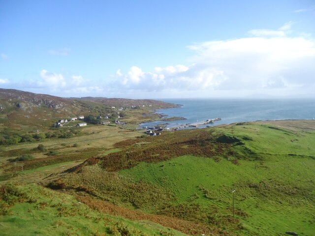
Dùn Eibhinn, located in Argyllshire, Scotland, is a historic heritage site dating back to the Iron Age. The site consists of the remains of a fort situated on a rocky promontory overlooking the surrounding landscape. The fort is believed to have been constructed around 2,000 years ago and would have provided its inhabitants with a strategic vantage point for observing and defending against potential threats.

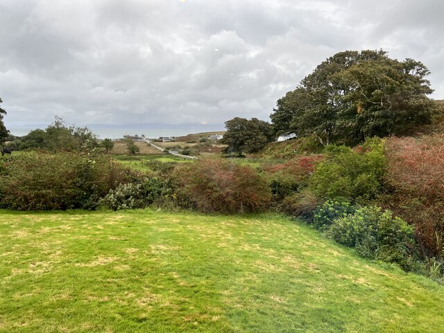
The site is surrounded by impressive natural scenery, with views extending over the surrounding countryside and out towards the sea. Visitors to Dùn Eibhinn can explore the remains of the fort, which include stone walls and the foundations of various structures. The site offers a fascinating glimpse into the lives of the ancient inhabitants of the area and the strategic importance of such fortified settlements in the past.

Dùn Eibhinn is a popular destination for history enthusiasts and those interested in archaeology. The site is protected as a scheduled monument, ensuring its preservation for future generations to enjoy and learn from. A visit to Dùn Eibhinn provides a unique opportunity to step back in time and immerse oneself in the rich history of this ancient site.

If you have any feedback on the listing, please let us know in the comments section below.

Dùn Eibhinn Images

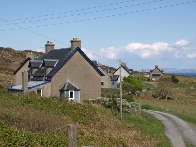
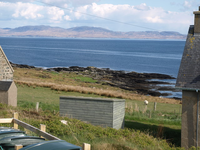
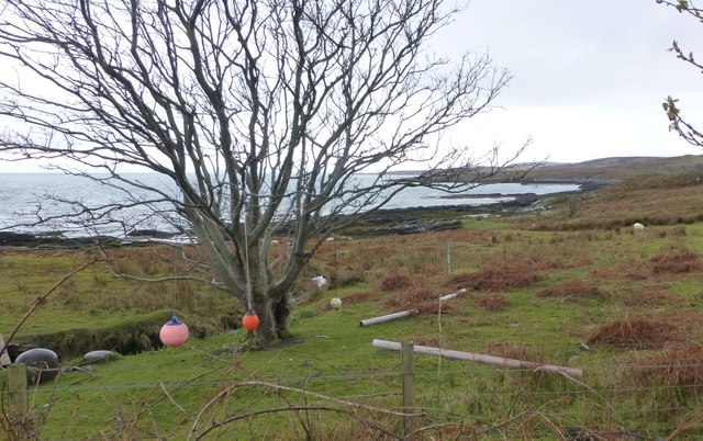
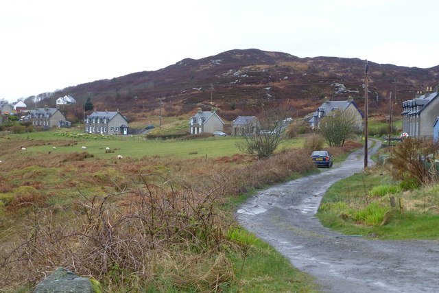
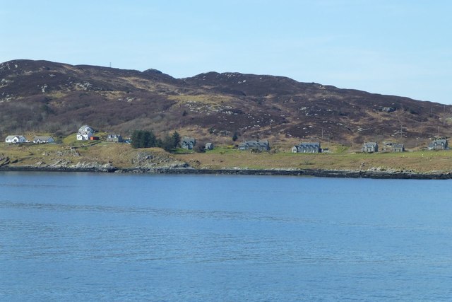
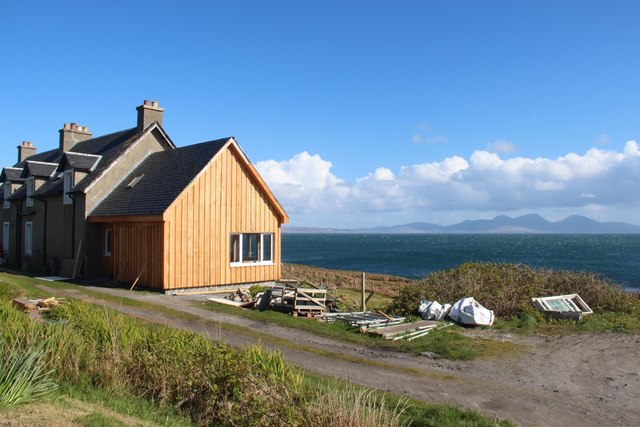
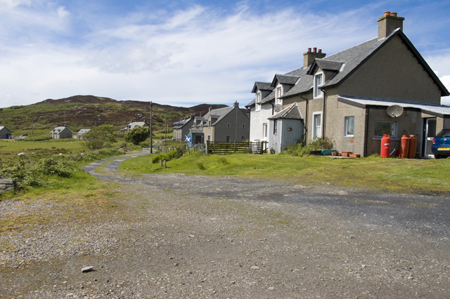
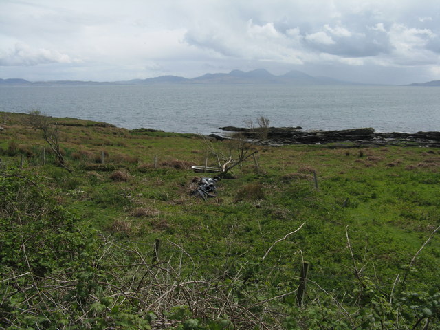
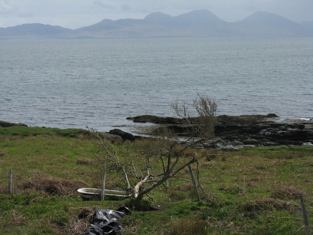
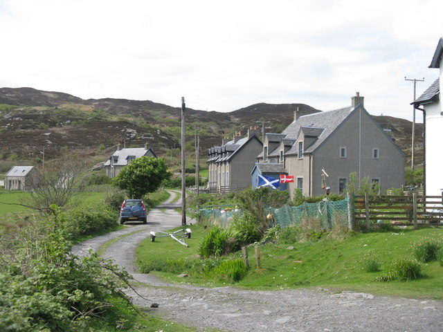
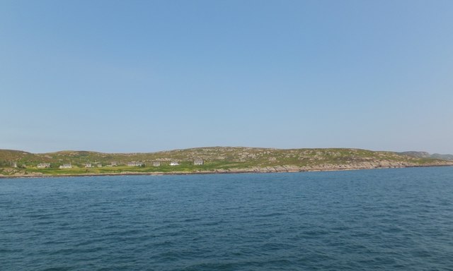
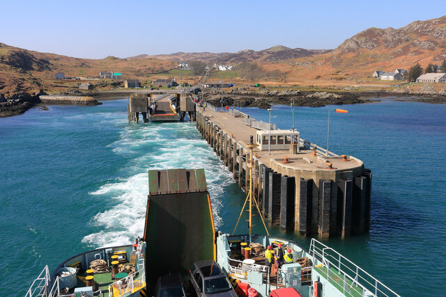
Images are sourced within 2km of 56.072/-6.202 or Grid Reference NR3894. Thanks to Geograph Open Source API. All images are credited.

Houses at Glas Aird Wild goats are often seen in this area.
Houses at Glas Aird
Wild goats are often seen in this area.
Cottages at Glassard
An Dunan Mor
An Dunan Mor
Nautical playground at Glas Aird The north west extremity of Scalasaig.
Nautical playground at Glas Aird
The north west extremity of Scalasaig.
Houses at Glassard Inhabitants were relocated to the newly built Glassard houses c.1922. from Riasg Buidhe further up the coast.
Houses at Glassard
Inhabitants were relocated to the newly built Glassard houses c.1922. from Riasg Buidhe further up the coast.
Glassard north east of Scalasaig Viewed from the Calmac ferry from Oban to Colonsay.
Glassard north east of Scalasaig
Viewed from the Calmac ferry from Oban to Colonsay.
Extended house at Glassard Jura on the horizon.
Extended house at Glassard
Jura on the horizon.
Moor at Glac na Mònadh
Houses at Glassard
Houses at Glassard
Leaving Colonsay
Leaving Colonsay
Small house at Glas Aird Near the end of the short track leading from the B8087.
Small house at Glas Aird
Near the end of the short track leading from the B8087.
Looking to Jura from Colonsay From the small community of Glas Aird north of Scalasaig.
Looking to Jura from Colonsay
From the small community of Glas Aird north of Scalasaig.
Field en-suite at Glas Aird With a view to Jura.
Field en-suite at Glas Aird
With a view to Jura.
Houses at Glas Aird A small row of houses on the track from the B8087.
Houses at Glas Aird
A small row of houses on the track from the B8087.
Houses at Glas Àird, Colonsay
Isle of Colonsay Ferry Terminal A view of the Isle of Colonsay ferry terminal at Scalasaig. Taken from the Calmac ferry MV Lord Of The Isles as it powers away from the link span and jetty.
Isle of Colonsay Ferry Terminal
A view of the Isle of Colonsay ferry terminal at Scalasaig. Taken from the Calmac ferry MV Lord Of The Isles as it powers away from the link span and jetty.
Cnoc na Faire Mor, Colonsay A fine viewpoint overlooking the village of Scalasaig and the Colonsay harbour.

Many maps (including perhaps some of those shown on this site) indicate a golf course on land to the right of this photo. It seems rather unlikely! Colonsay Golf Club is on the other side of the island, about 4km west of here and close to the Landing Strip.
Cnoc na Faire Mor, Colonsay
A fine viewpoint overlooking the village of Scalasaig and the Colonsay harbour. Many maps (including perhaps some of those shown on this site) indicate a golf course on land to the right of this photo. It seems rather unlikely! Colonsay Golf Club is on the other side of the island, about 4km west of here and close to the Landing Strip.
Garden of the Colonsay Hotel Looking towards Scalasaig Harbour.
Garden of the Colonsay Hotel
Looking towards Scalasaig Harbour.
Show me another place!

Dùn Eibhinn is located at Grid Ref: NR3894 (Lat: 56.072, Lng: -6.202)

Unitary Authority: Argyll and Bute

Police Authority: Argyll and West Dunbartonshire

What 3 Words

///drummers.expansion.credible. Near Scalasaig, Argyll & Bute

Related Wikis

Dùn Eibhinn

Dùn Eibhinn, also known as Dun Evan, Dun Eivan or Fort of Eyvind, is a hillfort located on the Inner Hebridean island of Colonsay, Scotland. The site is...

Colonsay Hotel

Colonsay Hotel is a Category B listed building in Scalasaig, Colonsay in the county of Argyll, in western Scotland. == History and architecture == The...

Colonsay Parish Church, Scalasaig

Colonsay Parish Church is a Category B listed Church of Scotland parish church in Scalasaig, Colonsay. == History == The church was built in 1801–04 at...

Loch Fada (Colonsay)

Loch Fada (English: Long Lake) is a loch located on the Inner Hebridean island of Colonsay, Scotland. It extends between Kiloran and Lower Kilchattan...

Related Videos

Colonsay & Luing Island, Scotland, Honda Super Cub 125cc

Traveled to Colonsay & Luing Island from Falkirk on the Honda Super Cub 125cc. September 2022 camping.

Nearby Amenities

Located within 500m of 56.072,-6.202
Colonsay Hotel
Tourism: hotel
Lat/Long: 56.0688976/-6.1962987
Passing Place
Passing Place: left
Lat/Long: 56.0678265/-6.2019445
Passing Place
Passing Place: right
Lat/Long: 56.0681619/-6.1987271
Beinn nan Gudairean
Ele: 136
Natural: peak
Lat/Long: 56.07587/-6.1991208
Power: pole
Lat/Long: 56.0705544/-6.198741
Power: pole
Lat/Long: 56.071896/-6.1987639
Power: pole
Lat/Long: 56.0691432/-6.1993313
Power: pole
Lat/Long: 56.0691081/-6.1986042
Power: pole
Lat/Long: 56.0690643/-6.1976877
Power: pole
Lat/Long: 56.0691537/-6.196445
Power: pole
Lat/Long: 56.0695975/-6.1997099
Power: pole
Lat/Long: 56.0712423/-6.1987527
Power: pole
Lat/Long: 56.0701351/-6.1991656
Entrance: yes
Source: survey
Lat/Long: 56.069153/-6.2010184
Entrance: yes
Source: survey
Lat/Long: 56.0690583/-6.2009979
Power: pole
Lat/Long: 56.0690888/-6.2002687
Power: pole
Lat/Long: 56.0690247/-6.1994497
Power: pole
Lat/Long: 56.0689234/-6.1986019
Power: pole
Lat/Long: 56.0688602/-6.1980715
Power: pole
Lat/Long: 56.0686624/-6.1979446
Power: pole
Lat/Long: 56.0723676/-6.1981358
Power: pole
Lat/Long: 56.0726805/-6.1977429
Power: pole
Lat/Long: 56.0735357/-6.1986465
Power: pole
Lat/Long: 56.074062/-6.1974286
Power: pole
Lat/Long: 56.0746574/-6.1972971
Power: pole
Lat/Long: 56.0753599/-6.1971052
Man Made: tower
Lat/Long: 56.0754434/-6.1982415
Man Made: mast
Tower Type: communication
Lat/Long: 56.0701442/-6.1978798
The data included in this document is from www.openstreetmap.org. The data is made available under ODbL.

Have you been to Dùn Eibhinn?

Leave your review of Dùn Eibhinn below (or comments, questions and feedback).