Beinn nan Gudairean

Hill, Mountain in Argyllshire

Scotland

Beinn nan Gudairean

Riasg Buidhe ruins Abandoned village
Riasg Buidhe ruins Credit: Fred Cass

Beinn nan Gudairean is a hill located in Argyllshire, Scotland. It is part of the Grampian Mountains and stands at an elevation of 764 meters (2,507 feet) above sea level. The hill is situated near the village of Dalmally and offers stunning panoramic views of the surrounding countryside.

Beinn nan Gudairean is a popular destination for hikers and outdoor enthusiasts, with several well-marked trails leading to the summit. The hike to the top is considered moderate in difficulty, with some steep and rocky sections along the way. However, the effort is rewarded with breathtaking views of Loch Awe and the surrounding hills and valleys.

The hill is home to a variety of wildlife, including red deer, golden eagles, and ptarmigan. The rugged terrain and diverse flora make Beinn nan Gudairean a haven for nature lovers and photographers.

Overall, Beinn nan Gudairean is a beautiful and challenging hill that offers a rewarding outdoor experience for those willing to make the trek to the summit.

If you have any feedback on the listing, please let us know in the comments section below.

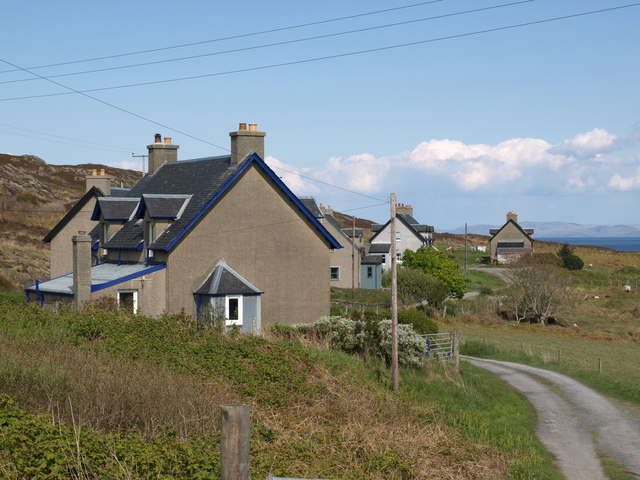
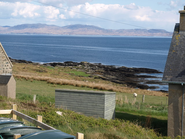
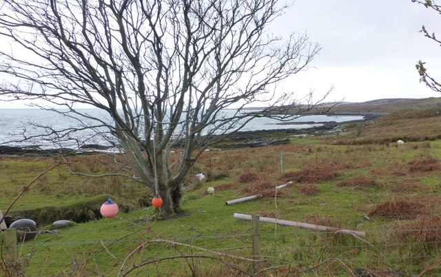
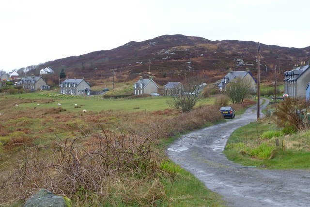
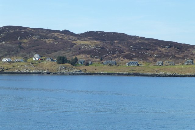
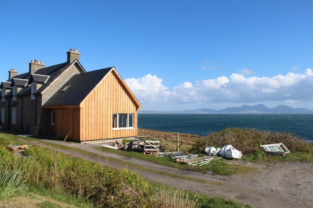
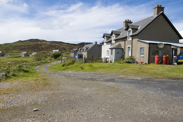
Beinn nan Gudairean Images

Images are sourced within 2km of 56.075986/-6.1993313 or Grid Reference NR3894. Thanks to Geograph Open Source API. All images are credited.

Riasg Buidhe ruins Abandoned village
Riasg Buidhe ruins
Abandoned village
Houses at Glas Aird Wild goats are often seen in this area.
Houses at Glas Aird
Wild goats are often seen in this area.
Ruins of old fishing village Foreground is dominated by Juncus effusus and Pteridium aquilinum
Ruins of old fishing village
Foreground is dominated by Juncus effusus and Pteridium aquilinum
Ruined fishing village
Cottages at Glassard
An Dunan Mor
An Dunan Mor
Riasg Buidhe A fishing village abandoned early in the 20th century. The inhabitants were rehoused at Glassard.
Riasg Buidhe
A fishing village abandoned early in the 20th century. The inhabitants were rehoused at Glassard.
Nautical playground at Glas Aird The north west extremity of Scalasaig.
Nautical playground at Glas Aird
The north west extremity of Scalasaig.
Houses at Glassard Inhabitants were relocated to the newly built Glassard houses c.1922. from Riasg Buidhe further up the coast.
Houses at Glassard
Inhabitants were relocated to the newly built Glassard houses c.1922. from Riasg Buidhe further up the coast.
Glassard north east of Scalasaig Viewed from the Calmac ferry from Oban to Colonsay.
Glassard north east of Scalasaig
Viewed from the Calmac ferry from Oban to Colonsay.
Extended house at Glassard Jura on the horizon.
Extended house at Glassard
Jura on the horizon.
Moor at Glac na Mònadh
Derelict house at Riasg Buidhe This is one of the buildings that housed Colonsay folk before the move to new houses at Glassard.  Photos of the buildings when they were in use are to be found at the exhibition in the Baptist Chapel created by the Colonsay and Oronsay Heritage Trust.
Derelict house at Riasg Buidhe
This is one of the buildings that housed Colonsay folk before the move to new houses at Glassard. Photos of the buildings when they were in use are to be found at the exhibition in the Baptist Chapel created by the Colonsay and Oronsay Heritage Trust.
Abandoned settlement  of Riasg Buidhe
Abandoned settlement of Riasg Buidhe
Houses at Glassard
Houses at Glassard
Riasg Buidhe This is the main street of what was once a fishing hamlet abandoned in 1918 when the inhabitants were re-located at Glassard.
The house with the gable end and the one in front had a slate roof the other further down the hill were all thatched
Riasg Buidhe
This is the main street of what was once a fishing hamlet abandoned in 1918 when the inhabitants were re-located at Glassard. The house with the gable end and the one in front had a slate roof the other further down the hill were all thatched
Gate posts at Riasg Buidhe These have identical twins about 200 metres to the north with no visible signs of a track between them. If you are thinking of visiting here from Colonsay House the track soon runs out, carry on along the high ground eastward until you find two other ruined houses and then turn south and head for the gate posts. This skirts a large area of bog uncrossable after wet weather, Riasg Bhuide means Yellow Marsh. You have been warned.
Gate posts at Riasg Buidhe
These have identical twins about 200 metres to the north with no visible signs of a track between them. If you are thinking of visiting here from Colonsay House the track soon runs out, carry on along the high ground eastward until you find two other ruined houses and then turn south and head for the gate posts. This skirts a large area of bog uncrossable after wet weather, Riasg Bhuide means Yellow Marsh. You have been warned.
Leaving Colonsay
Leaving Colonsay
Show me another place!

Beinn nan Gudairean is located at Grid Ref: NR3894 (Lat: 56.075986, Lng: -6.1993313)

Unitary Authority: Argyll and Bute

Police Authority: Argyll and West Dunbartonshire

What 3 Words

///daring.segregate.vertical. Near Scalasaig, Argyll & Bute

Related Wikis

Loch Fada (Colonsay)

Loch Fada (English: Long Lake) is a loch located on the Inner Hebridean island of Colonsay, Scotland. It extends between Kiloran and Lower Kilchattan...

Dùn Eibhinn

Dùn Eibhinn, also known as Dun Evan, Dun Eivan or Fort of Eyvind, is a hillfort located on the Inner Hebridean island of Colonsay, Scotland. The site is...

Colonsay Hotel

Colonsay Hotel is a Category B listed building in Scalasaig, Colonsay in the county of Argyll, in western Scotland. == History and architecture == The...

Colonsay Parish Church, Scalasaig

Colonsay Parish Church is a Category B listed Church of Scotland parish church in Scalasaig, Colonsay. == History == The church was built in 1801–04 at...

Nearby Amenities

Located within 500m of 56.075986,-6.1993313
Beinn nan Gudairean
Ele: 136
Natural: peak
Lat/Long: 56.07587/-6.1991208
Power: pole
Lat/Long: 56.071896/-6.1987639
Power: pole
Lat/Long: 56.0723676/-6.1981358
Power: pole
Lat/Long: 56.0726805/-6.1977429
Power: pole
Lat/Long: 56.0735357/-6.1986465
Power: pole
Lat/Long: 56.074062/-6.1974286
Power: pole
Lat/Long: 56.0746574/-6.1972971
Power: pole
Lat/Long: 56.0753599/-6.1971052
Man Made: tower
Lat/Long: 56.0754434/-6.1982415
The data included in this document is from www.openstreetmap.org. The data is made available under ODbL.

Have you been to Beinn nan Gudairean?

Leave your review of Beinn nan Gudairean below (or comments, questions and feedback).