Duddon Valley
Heritage Site in Cumberland Copeland
England
Duddon Valley
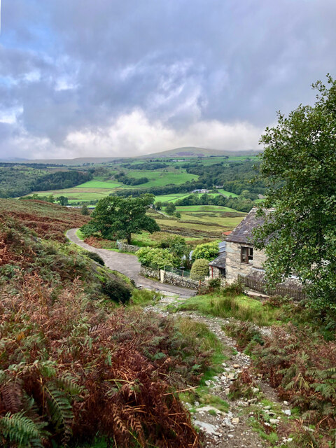
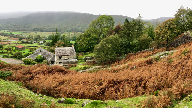
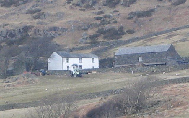
Duddon Valley, located in the county of Cumberland in northwest England, is a picturesque and historically significant area that has been designated as a Heritage Site. Nestled within the Lake District National Park, this valley is renowned for its untouched natural beauty, stunning landscapes, and rich cultural heritage.
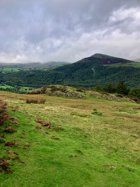
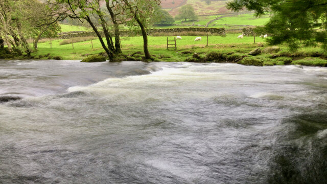
The Duddon Valley spans approximately 30 kilometers and is bordered by the imposing peaks of the Coniston Fells to the west and the majestic Black Combe to the south. The valley is traversed by the River Duddon, which meanders through the scenic countryside, creating a tranquil and idyllic setting.
The area is a haven for outdoor enthusiasts, offering a plethora of activities such as hiking, mountain biking, and birdwatching. The diverse terrain caters to all levels of fitness, with gentle riverside walks and more challenging hikes up the surrounding mountains.
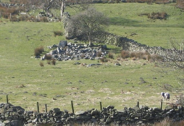
Aside from its natural beauty, Duddon Valley is steeped in history and cultural significance. It has inspired numerous poets and writers, including William Wordsworth and Alfred Wainwright, who have immortalized its charms in their works. The valley also boasts a wealth of archaeological sites, including ancient stone circles and Roman remains, providing a glimpse into its past.
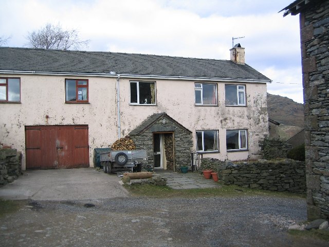
Visitors to Duddon Valley can explore the charming villages and hamlets that dot the landscape, such as Broughton-in-Furness and Seathwaite, which offer traditional pubs, quaint cottages, and local amenities. The valley is also home to a variety of wildlife, including red deer, otters, and a wide range of bird species.
In conclusion, Duddon Valley in Cumberland is a captivating Heritage Site, with its unspoiled natural beauty, rich history, and abundance of outdoor activities. Whether seeking tranquility or adventure, this stunning valley offers something for everyone.
If you have any feedback on the listing, please let us know in the comments section below.
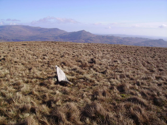
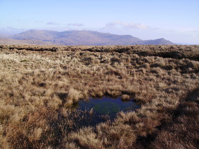
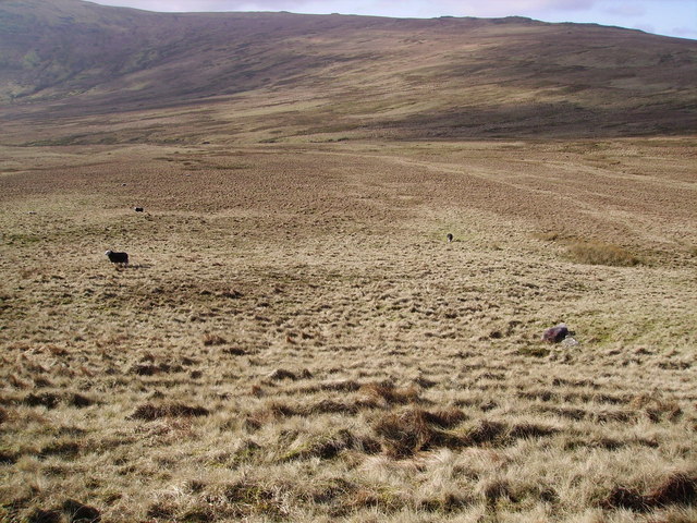
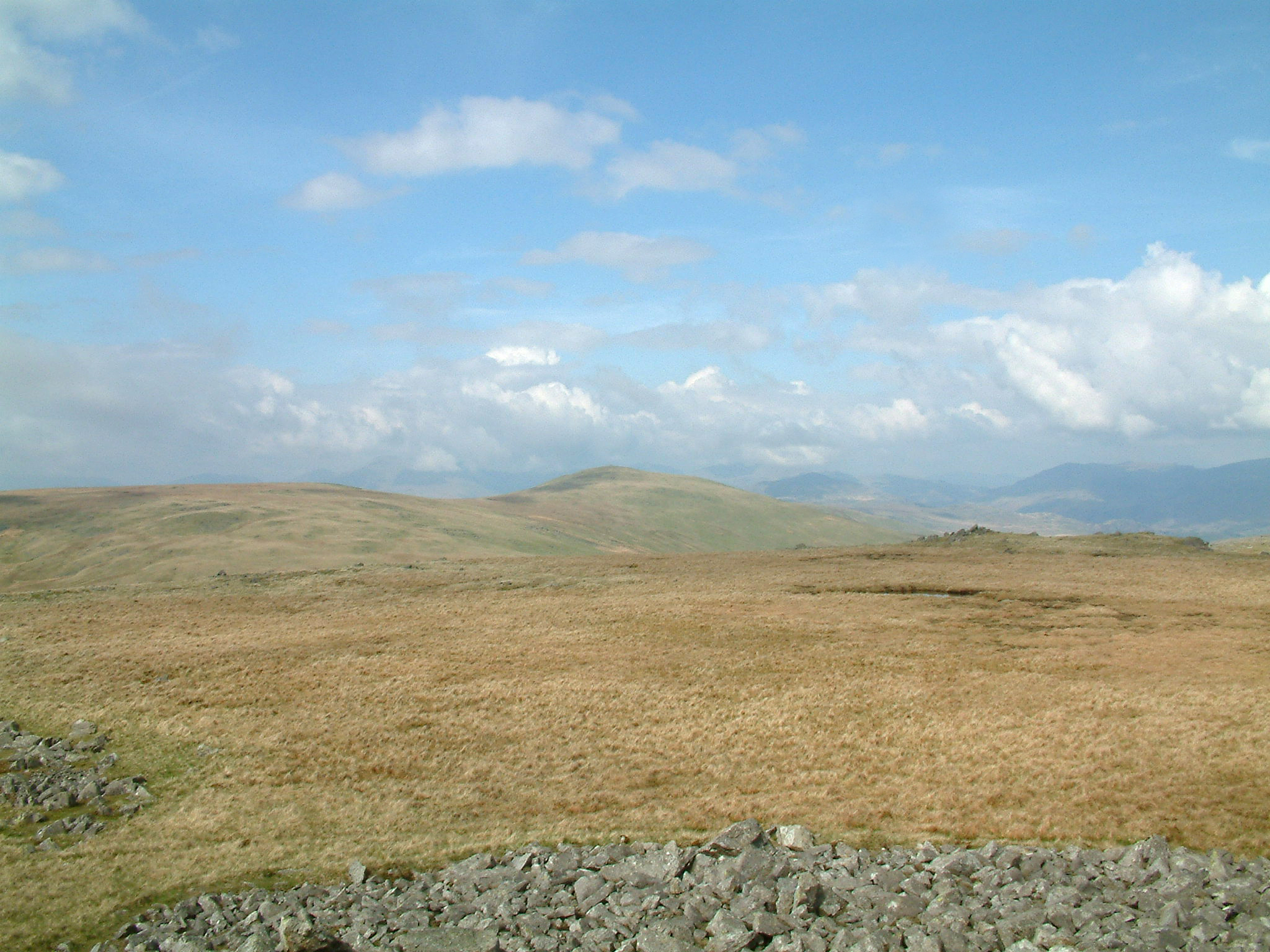
Duddon Valley Images
Images are sourced within 2km of 54.333/-3.25 or Grid Reference SD1893. Thanks to Geograph Open Source API. All images are credited.
![Site of Commonwood Quarries For more information see Heritagegateway.org.uk &lt;<span class="nowrap"><a title="https://www.heritagegateway.org.uk/Gateway/Results_Single.aspx?resourceID=801&amp;uid=2887969" rel="nofollow ugc noopener" href="https://www.heritagegateway.org.uk/Gateway/Results_Single.aspx?resourceID=801&amp;uid=2887969">Link</a><img style="margin-left:2px;" alt="External link" title="External link - shift click to open in new window" src="https://s1.geograph.org.uk/img/external.png" width="10" height="10"/></span> &gt; [accessed 14 October 2023]
](https://s2.geograph.org.uk/geophotos/07/62/43/7624390_93198c44.jpg)


Duddon Valley is located at Grid Ref: SD1893 (Lat: 54.333, Lng: -3.25)
Administrative County: Cumbria
District: Copeland
Police Authority: Cumbria
What 3 Words
///drank.thinnest.dumplings. Near Millom, Cumbria
Nearby Locations
Related Wikis

Ulpha
Ulpha is a small village and civil parish in the Duddon Valley in the Lake District National Park in Cumbria, England. Historically in Cumberland, it forms...

Hesk Fell
Hesk Fell is a hill in the south-west of the English Lake District, between the Duddon Valley and Eskdale near Ulpha, Cumbria. It is the subject of a chapter...

Dunnerdale Fells
Dunnerdale Fells is an upland area in the English Lake District, between Ulpha and Broughton Mills, Cumbria. It is the subject of a chapter of Wainwright...
Whitfell
Whitfell (or sometimes Whit Fell) is a hill of 573 metres (1,880 ft) in the southwestern part of the Lake District. It is the highest point between Black...
Nearby Amenities
Located within 500m of 54.333,-3.25Have you been to Duddon Valley?
Leave your review of Duddon Valley below (or comments, questions and feedback).