The Pike
Hill, Mountain in Cumberland Copeland
England
The Pike
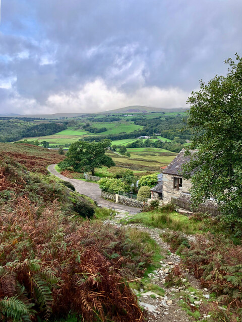
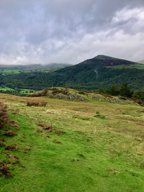
The Pike, Cumberland, commonly referred to as "The Pike," is a prominent hill located in the county of Cumberland, England. Standing at an elevation of approximately 723 meters (2,372 feet), it is considered one of the highest peaks in the region. The Pike forms part of the larger Lake District National Park, renowned for its breathtaking landscapes and scenic beauty.
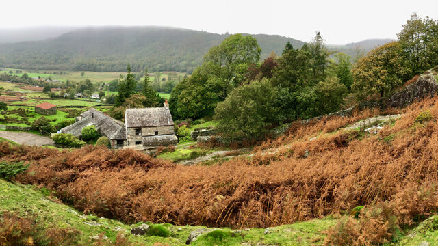
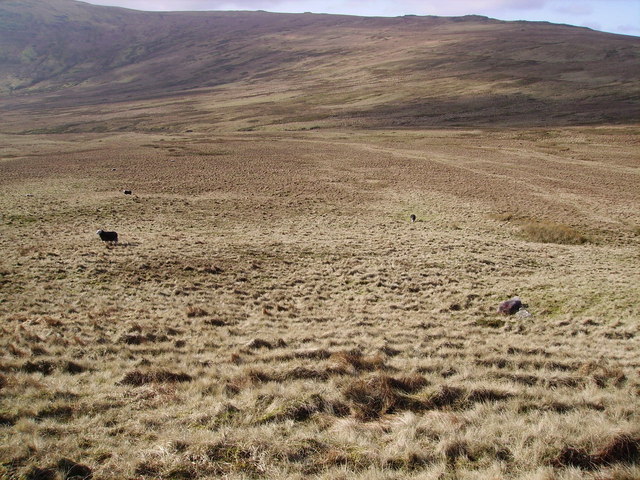
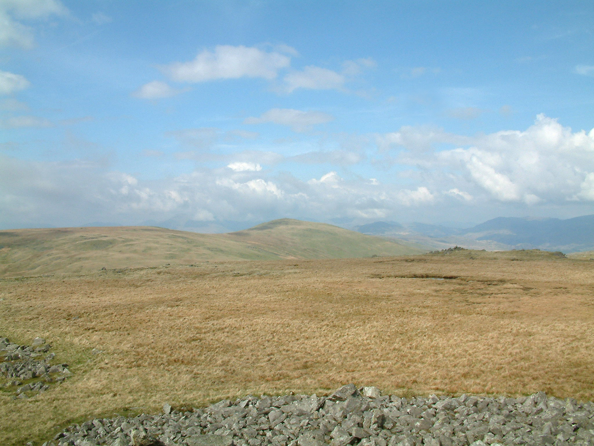
This hill is characterized by its distinctive cone-like shape, with steep slopes covered in lush greenery and occasional outcrops of rocks. The summit offers panoramic views of the surrounding countryside, including the picturesque valleys and rolling hills of Cumberland. On clear days, it is possible to see as far as the Solway Firth and the Scottish border.
The Pike is a popular destination for outdoor enthusiasts and hikers, offering various trails and routes to the summit. The most commonly used path starts from the nearby village of Caldbeck, passing through picturesque woodlands and open fields. The hike to the summit is challenging but rewarding, with stunning vistas awaiting those who reach the top.
The Pike also holds historical significance, as it was a significant landmark during the ancient Roman occupation of Britain. Excavations have revealed evidence of Roman fortifications and settlements in the vicinity of the hill.
Overall, The Pike, Cumberland, is a remarkable natural feature that attracts both nature lovers and history enthusiasts alike. Its towering presence, scenic beauty, and historical significance make it a must-visit destination for anyone exploring the Cumberland region.
If you have any feedback on the listing, please let us know in the comments section below.
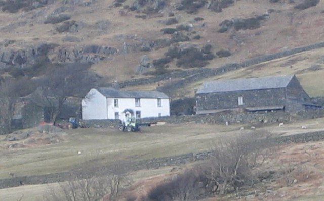
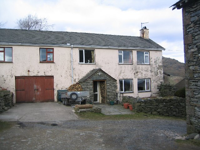
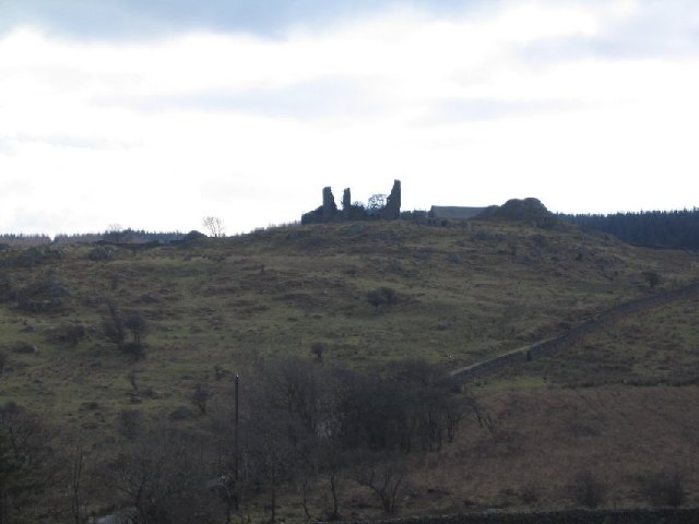
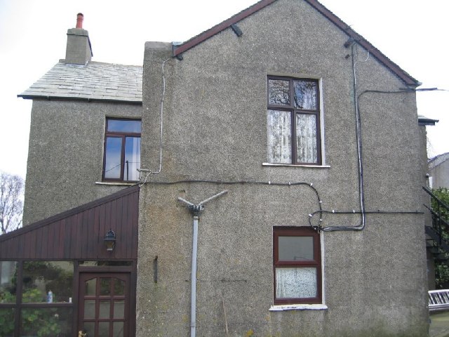
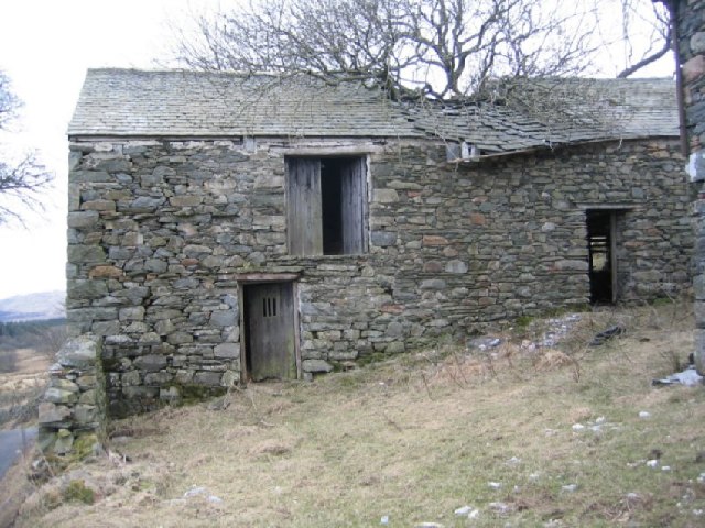
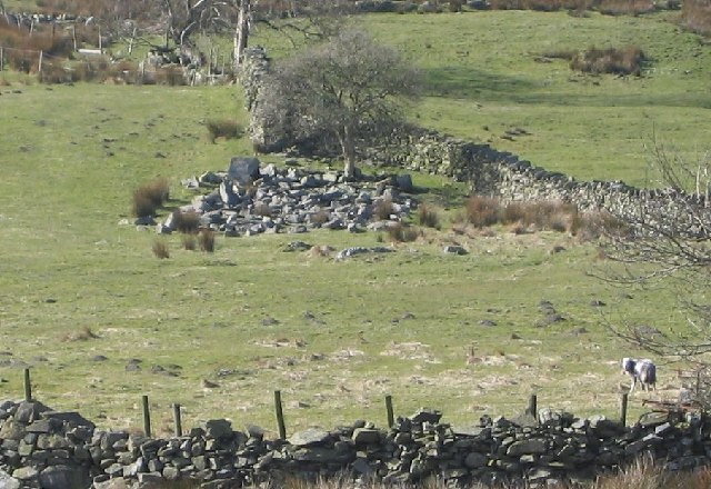
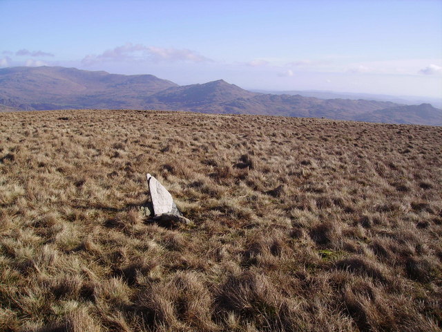
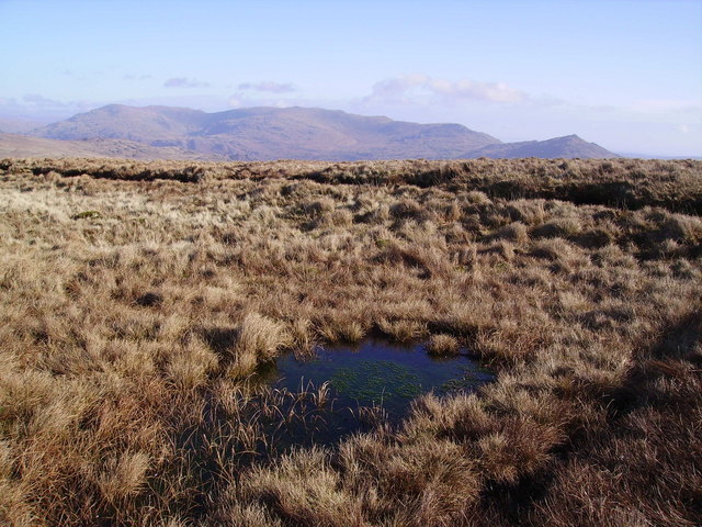
The Pike Images
Images are sourced within 2km of 54.329691/-3.2526497 or Grid Reference SD1893. Thanks to Geograph Open Source API. All images are credited.


The Pike is located at Grid Ref: SD1893 (Lat: 54.329691, Lng: -3.2526497)
Administrative County: Cumbria
District: Copeland
Police Authority: Cumbria
What 3 Words
///contained.mount.busters. Near Millom, Cumbria
Nearby Locations
Related Wikis

Ulpha
Ulpha is a small village and civil parish in the Duddon Valley in the Lake District National Park in Cumbria, England. Historically in Cumberland, it forms...

Hesk Fell
Hesk Fell is a hill in the south-west of the English Lake District, between the Duddon Valley and Eskdale near Ulpha, Cumbria. It is the subject of a chapter...

Dunnerdale Fells
Dunnerdale Fells is an upland area in the English Lake District, between Ulpha and Broughton Mills, Cumbria. It is the subject of a chapter of Wainwright...
Whitfell
Whitfell (or sometimes Whit Fell) is a hill of 573 metres (1,880 ft) in the southwestern part of the Lake District. It is the highest point between Black...
Nearby Amenities
Located within 500m of 54.329691,-3.2526497Have you been to The Pike?
Leave your review of The Pike below (or comments, questions and feedback).