Dowel Cave
Heritage Site in Derbyshire Derbyshire Dales
England
Dowel Cave
Dowel Cave is a significant heritage site located in the county of Derbyshire, England. Situated near the village of Monyash, this cave holds immense historical and geological importance. It is a well-known attraction for both locals and tourists due to its unique features and fascinating past.
The cave itself is an underground limestone chamber, formed through the gradual erosion of the surrounding rocks by water over millions of years. Dowel Cave boasts an impressive network of passages and chambers, with some areas reaching heights of up to 10 meters. These intricate formations provide visitors with an awe-inspiring experience as they explore the depths of the cave.
Throughout history, Dowel Cave has served various purposes. Archaeological research has revealed evidence of human activity dating back to the Neolithic period, making it an important site for understanding the lives of early humans. Additionally, during the Roman era, the cave was used as a lead mine, highlighting its significance in the region's industrial heritage.
The cave's unique geological features, such as stalactites and stalagmites, add to its allure. These formations have been shaped over centuries by the slow dripping of mineral-rich water, creating stunning natural sculptures that captivate visitors. The cave's atmosphere is further enhanced by underground streams and pools, which add an element of mystery and beauty to the overall experience.
Due to its historical and geological significance, Dowel Cave has been designated as a protected heritage site. Visitors can now explore the cave through guided tours, enabling them to learn about its rich history while marveling at its natural wonders.
If you have any feedback on the listing, please let us know in the comments section below.
Dowel Cave Images
Images are sourced within 2km of 53.203/-1.887 or Grid Reference SK0767. Thanks to Geograph Open Source API. All images are credited.


Dowel Cave is located at Grid Ref: SK0767 (Lat: 53.203, Lng: -1.887)
Administrative County: Derbyshire
District: Derbyshire Dales
Police Authority: Derbyshire
What 3 Words
///bill.dusty.chucked. Near Buxton, Derbyshire
Nearby Locations
Related Wikis

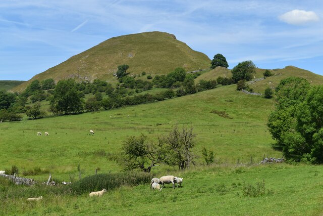
Parkhouse Hill
Parkhouse Hill is a small but distinctive hill in the Peak District National Park of the Hartington Middle Quarter civil parish, in the English county...

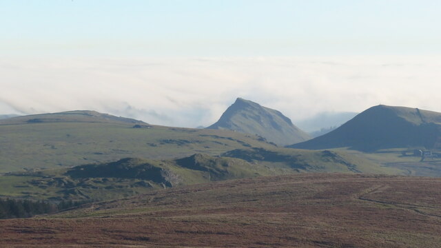
Chrome Hill
Chrome Hill is a limestone reef knoll in Derbyshire, England, in the upper Dove valley beside the border with Staffordshire, within the civil parish...

Hollinsclough
Hollinsclough is a small rural village in the county of Staffordshire in the English Midlands. It is within the Peak District National Park. == Location... ==

Earl Sterndale
Earl Sterndale is a village in the Upper Dove Valley in the Peak District, Derbyshire, England, situated near the River Dove, 5 miles south of Buxton,...
Related Videos
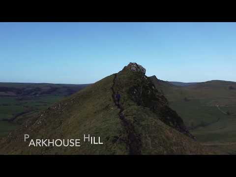
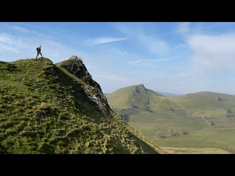
Hiking in the Peak District - Parkhouse Hill and Chrome Hill
I hope you enjoy this chilled out hiking vid, shot on a GoPro Hero 7 and DJI Mavic Mini drone on a cold and breezy winter's ...

HIKING IN DERBYSHIRE VLOG || PARKHOUSE HILL + CHROME HILL #adventure #hiking #4k OUTSTANDING SCENERY
It was lovely sunny day. I went for a hike to show you and guide you around the incredible hills of Derbyshire Buxton. In this video I ...
Longnor & Chatsworth Gardens 🏴 England 4K Relaxing Walking Tour
Our journey continues of the Jane Austen Society of North America (JASNA) spring tour of England, as we follow in Jane Austen's ...
2 weeks in Guadeloupe- how much I spent? 💶 answering whilst Hiking Chrome Hill and Parkhouse hill
Hi, nice to see you here! Sveiki, prieks Tevi šeit redzēt! In this video, I answer some questions about my trip to Guadeloupe (a ...
Nearby Amenities
Located within 500m of 53.203,-1.887Have you been to Dowel Cave?
Leave your review of Dowel Cave below (or comments, questions and feedback).