Merstham

Settlement in Surrey Reigate and Banstead

England

Merstham

Carrington Place New housing under construction on Thornton Side on the site of the former Quarryside Business Park.
Carrington Place Credit: Ian Capper

Merstham is a small village located in the county of Surrey, England. Situated about 20 miles south of London, it falls within the borough of Reigate and Banstead. The village is nestled in the beautiful North Downs, offering picturesque views and a peaceful atmosphere.

Historically, Merstham has been a significant settlement since Roman times, evidenced by the discovery of a Roman villa in the area. The village grew during the medieval period as it became a popular stop for travelers on their way to London.

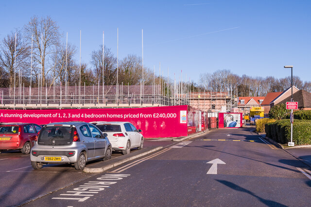
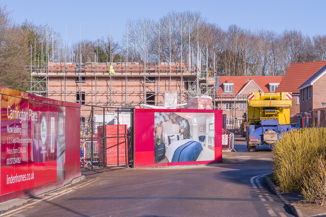
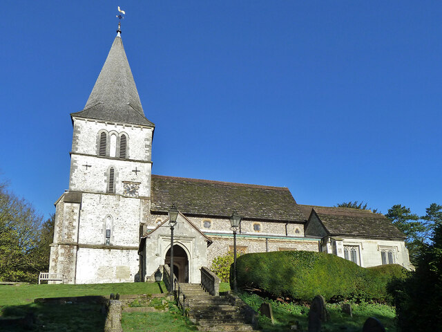
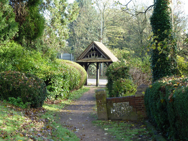
Today, Merstham retains its charming character with a mix of old and new buildings. The High Street is lined with shops, cafes, and local amenities, providing residents with easy access to everyday necessities. The village also has a primary school, a church, and a community center, fostering a strong sense of community.

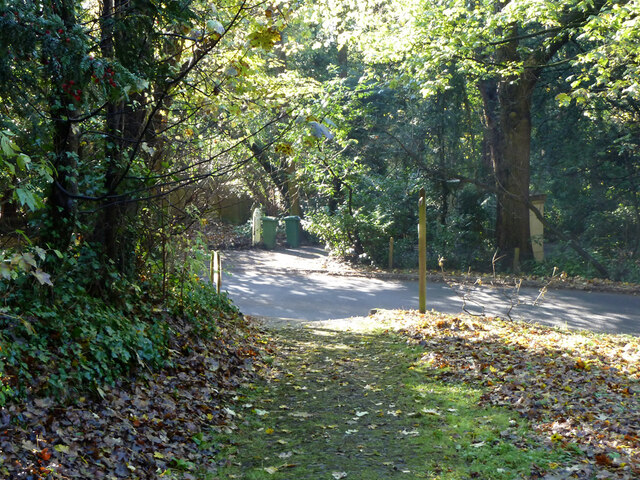
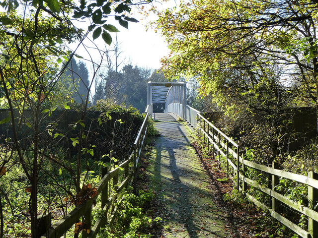
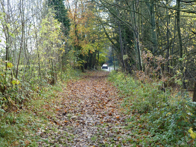
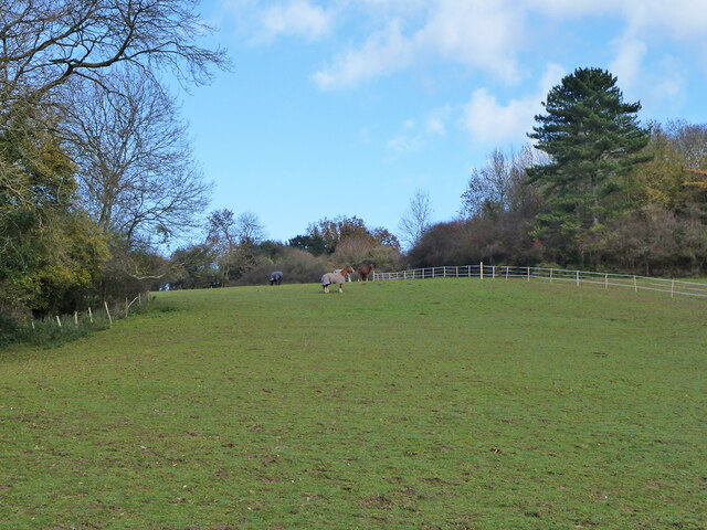
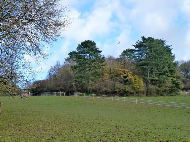
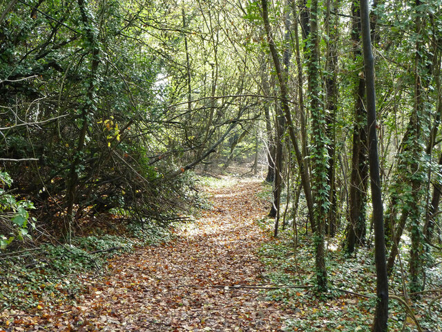
Nature enthusiasts will appreciate the proximity to the countryside, with plenty of walking trails and outdoor activities available. Merstham is surrounded by lush greenery and is close to the beautiful Gatton Park and Mercers Country Park.

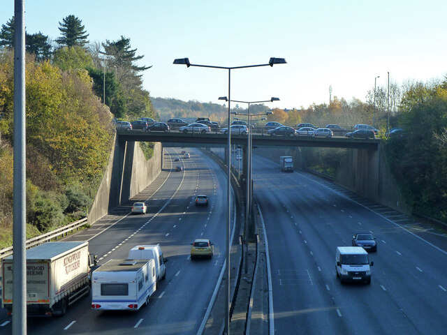
Transport links are excellent, with Merstham railway station providing regular services to London and other major towns in Surrey. The nearby M25 motorway ensures convenient road connections to various destinations.

Overall, Merstham offers a tranquil and idyllic setting, making it an attractive place to live for those seeking a peaceful village lifestyle within easy reach of bustling city life.

If you have any feedback on the listing, please let us know in the comments section below.
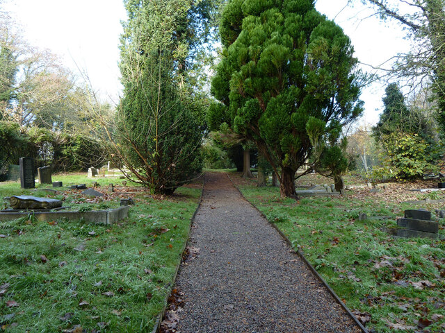
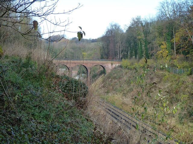
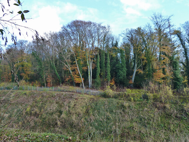
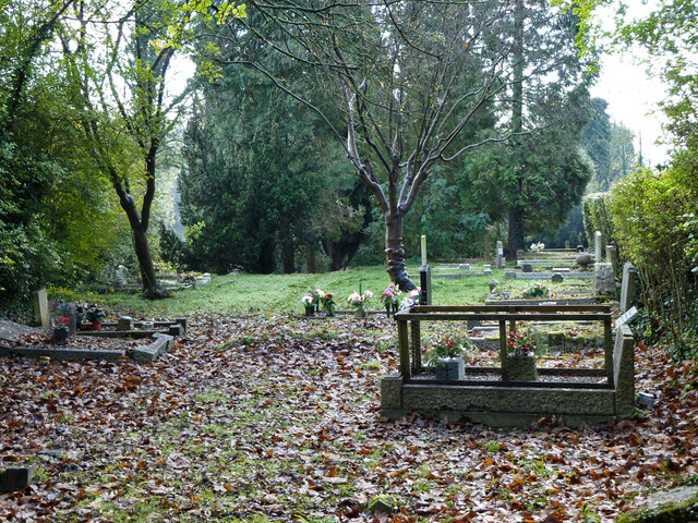
Merstham Images

Images are sourced within 2km of 51.269152/-0.146493 or Grid Reference TQ2953. Thanks to Geograph Open Source API. All images are credited.

Carrington Place New housing under construction on Thornton Side on the site of the former Quarryside Business Park.
Carrington Place
New housing under construction on Thornton Side on the site of the former Quarryside Business Park.
Carrington Place New housing under construction on Thornton Side on the site of the former Quarryside Business Park.
Carrington Place
New housing under construction on Thornton Side on the site of the former Quarryside Business Park.
Merstham church St. Katherine's is a grade II*(star) listed building, oldest parts 13th century.
Merstham church
St. Katherine's is a grade II*(star) listed building, oldest parts 13th century.
North Downs Way crosses Gatton Bottom The footpath crosses the road from Merstham churchyard to a path across the M25 towards the village. The path is to the left of the far white post, to the right is a house entrance.
North Downs Way crosses Gatton Bottom
The footpath crosses the road from Merstham churchyard to a path across the M25 towards the village. The path is to the left of the far white post, to the right is a house entrance.
Church Path crosses M25, Merstham Footpath Reigate 87 is used by the North Downs Way.
Church Path crosses M25, Merstham
Footpath Reigate 87 is used by the North Downs Way.
M25, Merstham Looking west from the Church Path footbridge.
M25, Merstham
Looking west from the Church Path footbridge.
A23 bridge over M25, Merstham The bridge has continuous parked cars on both sides, presumably commuters from Merstham station which is a short walk away.
A23 bridge over M25, Merstham
The bridge has continuous parked cars on both sides, presumably commuters from Merstham station which is a short walk away.
Church Path crosses M25, Merstham Footpath Reigate 87 is used by the North Downs Way.
Church Path crosses M25, Merstham
Footpath Reigate 87 is used by the North Downs Way.
Way out to A23 from Merstham churchyard Also public footpath Reigate 87, used by the North Downs Way. The badly out of plumb wall is interesting, it looks like a rotational landslip down to the right that has afterwards been relevelled, oddly apart from the wall.
Way out to A23 from Merstham churchyard
Also public footpath Reigate 87, used by the North Downs Way. The badly out of plumb wall is interesting, it looks like a rotational landslip down to the right that has afterwards been relevelled, oddly apart from the wall.
Graveyard, Merstham Across the road from the churchyard, a narrow strip between the A23 and the railway.
Graveyard, Merstham
Across the road from the churchyard, a narrow strip between the A23 and the railway.
Graveyard, Merstham Across the road from the churchyard, a narrow strip between the A23 and the railway.
Graveyard, Merstham
Across the road from the churchyard, a narrow strip between the A23 and the railway.
Jolliffe Road bridge Over the Brighton Line via Redhill. Merstham Tunnel is beyond.
Jolliffe Road bridge
Over the Brighton Line via Redhill. Merstham Tunnel is beyond.
Woodland east of railway cutting, Merstham Looking from the graveyard here across the cutting leading up to Merstham Tunnel. The wood has largely developed on spoil from the Greystone Limeworks as was.
Woodland east of railway cutting, Merstham
Looking from the graveyard here across the cutting leading up to Merstham Tunnel. The wood has largely developed on spoil from the Greystone Limeworks as was.
Graveyard, Merstham Across the road from the churchyard, a narrow strip between the A23 and the railway.
Graveyard, Merstham
Across the road from the churchyard, a narrow strip between the A23 and the railway.
Bridleway Reigate 97, Merstham This is the course, or very near to it, of the Croydon Merstham and Godstone Railway, looking towards its terminus at Quarry Dean (it never got to Godstone).
Bridleway Reigate 97, Merstham
This is the course, or very near to it, of the Croydon Merstham and Godstone Railway, looking towards its terminus at Quarry Dean (it never got to Godstone).
Field with horses Above and between Merstham Tunnel (left) and Quarry Tunnel (right). Concealed in the woodland are ventilation shafts for the tunnels.
Field with horses
Above and between Merstham Tunnel (left) and Quarry Tunnel (right). Concealed in the woodland are ventilation shafts for the tunnels.
Trees on Quarry Tunnel spoil The shaft remains for ventilation, somewhere in the trees. The Quarry Tunnel on the Redhill avoiding line was opened in 1899.
Trees on Quarry Tunnel spoil
The shaft remains for ventilation, somewhere in the trees. The Quarry Tunnel on the Redhill avoiding line was opened in 1899.
Footpath Reigate 100 Starting over the boundary as Banstead 614, this runs from Netherne Lane to Shepherd's Hill.
Footpath Reigate 100
Starting over the boundary as Banstead 614, this runs from Netherne Lane to Shepherd's Hill.
Show me another place!

Merstham is located at Grid Ref: TQ2953 (Lat: 51.269152, Lng: -0.146493)

Administrative County: Surrey

District: Reigate and Banstead

Police Authority: Surrey

What 3 Words

///begins.chefs.pouch. Near Redhill, Surrey

Nearby Locations

Merstham Heronswood Mere

Related Wikis

Merstham railway station

Merstham railway station is in Merstham, Surrey, England. It is on the Brighton Main Line, 20 miles 59 chains (33.4 km) measured from London Charing Cross...
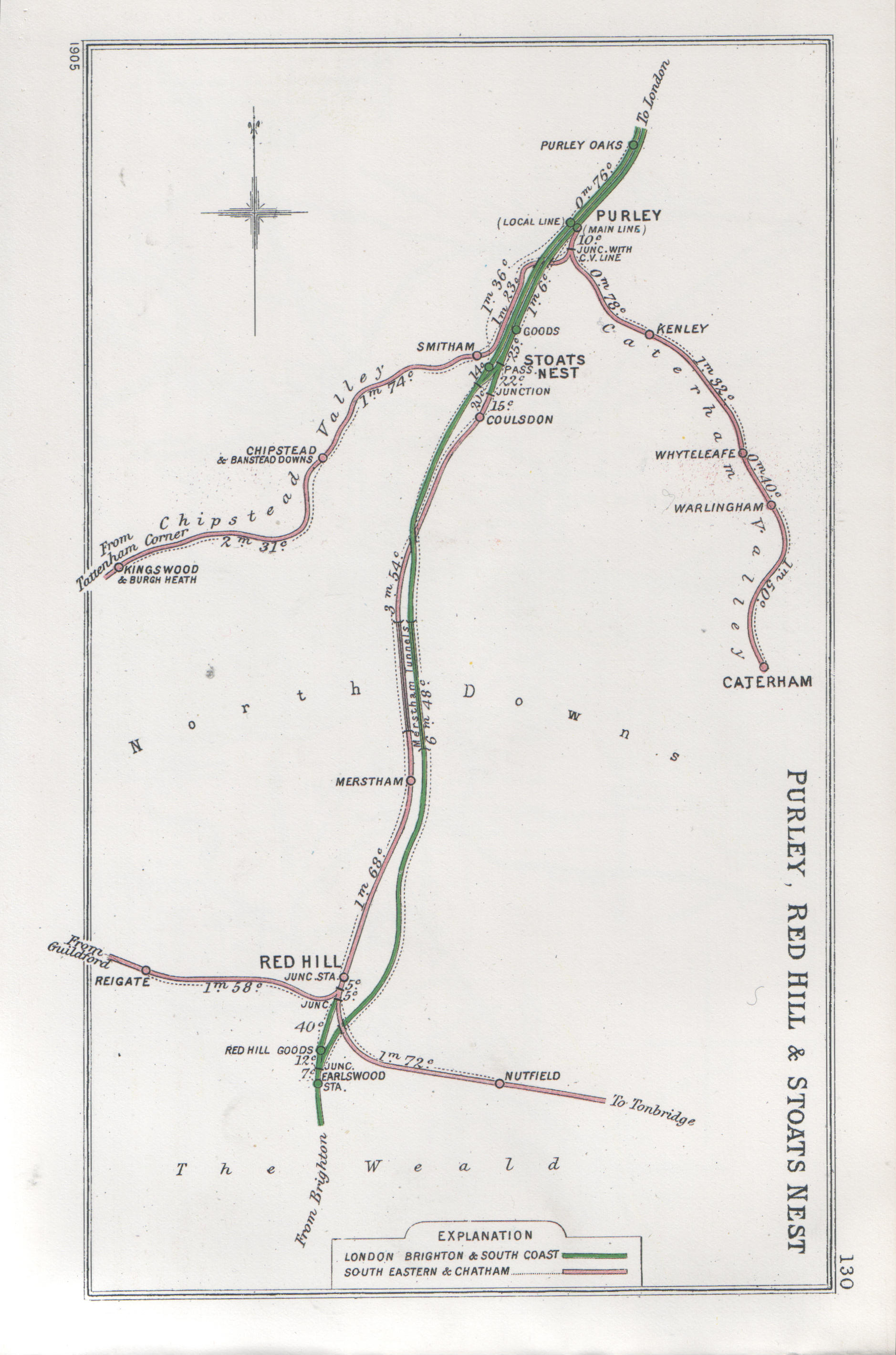
Merstham tunnels

The Merstham and Quarry tunnels are two neighbouring railway tunnels on the Brighton Main Line between Merstham and Coulsdon (formerly Stoats Nest) in...

Merstham

Merstham is a town in the borough of Reigate and Banstead in Surrey, England. It lies 17 miles south of Charing Cross just beyond the Greater London border...

Merstham F.C.

Merstham Football Club is a football club based in Merstham, Surrey, England. Affiliated to the Surrey FA, they are currently members of the Isthmian League...

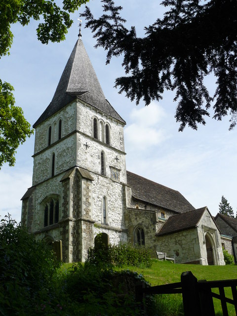
St Andrew's Church, Gatton

The Church of St Andrew, Gatton is a Church of England church in Gatton, near Reigate in Surrey, England. It is a Grade I listed. The earliest record of...

Royal Alexandra and Albert School

The Royal Alexandra and Albert School is an all-through co-educational boarding school near Reigate, Surrey. The headmaster as of 2022 is Morgan Thomas...

Gatton Park

Gatton Park is a country estate set in parkland landscaped by Capability Brown at Gatton, near Reigate in Surrey, England. Now owned by The Royal Alexandra...

Church of St Peter and St Paul, Chaldon

The Church of Saints Peter and Paul at Chaldon, Surrey, is a Church of England parish church in the Diocese of Southwark. The building was begun before...

Nearby Amenities

Located within 500m of 51.269152,-0.146493
Motorway Junction
Merstham
Ref: 7
Lat/Long: 51.2653651/-0.1439495
Barrier: kissing_gate
Foot: yes
Lat/Long: 51.2658251/-0.1457325
Phone
Emergency: phone
Lat/Long: 51.2653506/-0.1458995
Phone
Emergency: phone
Lat/Long: 51.2657054/-0.1457546
Bus Stop
Church Hill
Bus: yes
Naptan AtcoCode: 40004409195A
Naptan Bearing: N
Naptan CommonName: Church Hill
Naptan Indicator: adj
Naptan Landmark: Church Hill
Naptan NaptanCode: surdjpag
Naptan Street: London Road North
Naptan Verified: no
Public Transport: platform
Source: naptan_import
Lat/Long: 51.2693966/-0.151021
Bus Stop
Church Hill
Bench: no
Bin: no
Bus: yes
Naptan AtcoCode: 40004409195B
Naptan Bearing: S
Naptan CommonName: Church Hill
Naptan Indicator: Just after
Naptan Landmark: Church Hill
Naptan NaptanCode: surdjpaj
Naptan Street: London Road North
Naptan Verified: yes
Public Transport: platform
Shelter: no
Source: naptan_import
Lat/Long: 51.2679706/-0.15078
Barrier: kissing_gate
Lat/Long: 51.2679723/-0.140349
Man Made: tower
Tower Type: communication
Lat/Long: 51.2656879/-0.1488891
Barrier: bollard
Lat/Long: 51.2719741/-0.1485999
Post Box
Collection Times: Mo-Fr 09:00; Sa 07:00; Su off
Drive Through: no
Operator: Royal Mail
Post Box Type: lamp
Ref: RH1 199D
Royal Cypher: GVIR
Royal Cypher Wikidata: Q33102169
Source: survey
Lat/Long: 51.27164/-0.1524405
Crossing
Crossing: unmarked
Crossing Island: yes
Lat/Long: 51.2715166/-0.1512723
Crossing
Crossing: unmarked
Crossing Island: yes
Crossing Markings: no
Lat/Long: 51.2685722/-0.1509512
Man Made: manhole
Source: gps
Lat/Long: 51.2697453/-0.1435109
Speed Camera
Maxspeed: 30 mph
Lat/Long: 51.2662416/-0.1513344
Traffic Sign: variable_message
Variable Message Model: MS1
Lat/Long: 51.2711393/-0.1446497
Traffic Sign: variable_message
Variable Message Model: MS1
Lat/Long: 51.2711644/-0.1446349
Traffic Sign: variable_message
Variable Message Model: MS1
Lat/Long: 51.2711961/-0.1446163
Traffic Sign: variable_message
Variable Message Model: MS1
Lat/Long: 51.271229/-0.144597
Phone
Emergency: phone
Operator: National Highways
Operator Wikidata: Q5760006
Lat/Long: 51.2712577/-0.1444906
Phone
Emergency: phone
Operator: National Highways
Operator Wikidata: Q5760006
Lat/Long: 51.270891/-0.1447843
Traffic Sign: variable_message
Variable Message Model: AMI
Lat/Long: 51.2653569/-0.1456326
Traffic Sign: variable_message
Variable Message Model: AMI
Lat/Long: 51.265391/-0.1456202
Traffic Sign: variable_message
Variable Message Model: AMI
Lat/Long: 51.2654215/-0.1456091
Traffic Sign: variable_message
Variable Message Model: AMI
Lat/Long: 51.2654523/-0.1455979
Traffic Sign: variable_message
Variable Message Model: MS2
Lat/Long: 51.2652926/-0.145656
Traffic Sign: variable_message
Variable Message Model: AMI
Lat/Long: 51.2655838/-0.1460131
Traffic Sign: variable_message
Variable Message Model: AMI
Lat/Long: 51.2656173/-0.1460005
Traffic Sign: variable_message
Variable Message Model: AMI
Lat/Long: 51.2656482/-0.1459889
Traffic Sign: variable_message
Variable Message Model: AMI
Lat/Long: 51.2656745/-0.145979
Traffic Sign: variable_message
Variable Message Model: MS2
Lat/Long: 51.2657381/-0.1459551
Bench
Backrest: yes
Seats: 3
Lat/Long: 51.2689325/-0.1520275
Bench
Backrest: yes
Seats: 3
Lat/Long: 51.2686621/-0.1521954
Crossing
Crossing: unmarked
Crossing Markings: no
Lat/Long: 51.2689429/-0.1510492
Tactile Paving: yes
Lat/Long: 51.2678233/-0.1511125
Tactile Paving: yes
Lat/Long: 51.2677633/-0.1511284
Tactile Paving: yes
Lat/Long: 51.2676319/-0.1511606
Crossing
Crossing: unmarked
Crossing Markings: no
Lat/Long: 51.2677176/-0.1511396
Crossing
Crossing: unmarked
Crossing Markings: no
Lat/Long: 51.2677988/-0.151119
Crossing
Crossing: unmarked
Crossing Markings: no
Lat/Long: 51.2675969/-0.1511648
Tactile Paving: yes
Lat/Long: 51.2677357/-0.1511352
Tactile Paving: yes
Lat/Long: 51.2676861/-0.1511473
Tactile Paving: yes
Lat/Long: 51.2675795/-0.151167
The data included in this document is from www.openstreetmap.org. The data is made available under ODbL.

Have you been to Merstham?

Leave your review of Merstham below (or comments, questions and feedback).