Dodington House

Heritage Site in Gloucestershire

England

Dodington House

The Old Chapel A converted chapel with a date of 1835 on the front.
The Old Chapel Credit: Philip Halling

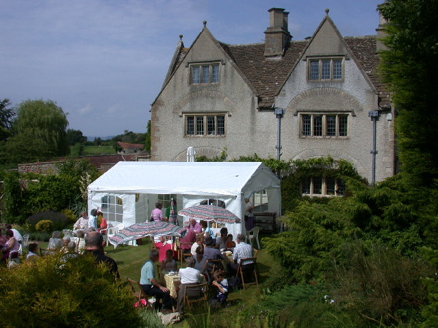
Dodington House, located in Gloucestershire, England, is a historic mansion that holds significant cultural and architectural value. This Grade I listed building is situated within a large estate, encompassing stunning gardens and parkland. It has a rich history dating back to the 18th century, with notable owners and architectural influences that have shaped its grandeur.

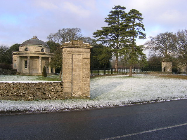
Built in the Palladian style, Dodington House exhibits a symmetrical façade and elegant proportions. The mansion boasts a central block flanked by two wings and features a prominent portico supported by Corinthian columns. The interior is equally impressive, with lavishly decorated rooms showcasing intricate plasterwork, ornate ceilings, and fine woodwork.

Originally designed by James Wyatt for James Thynne, the house underwent several modifications over the years. In the 19th century, architect Lewis Vulliamy added a conservatory, while William Atkinson incorporated Gothic Revival elements, including a clock tower and chapel. These additions contribute to the diverse architectural styles within the property.

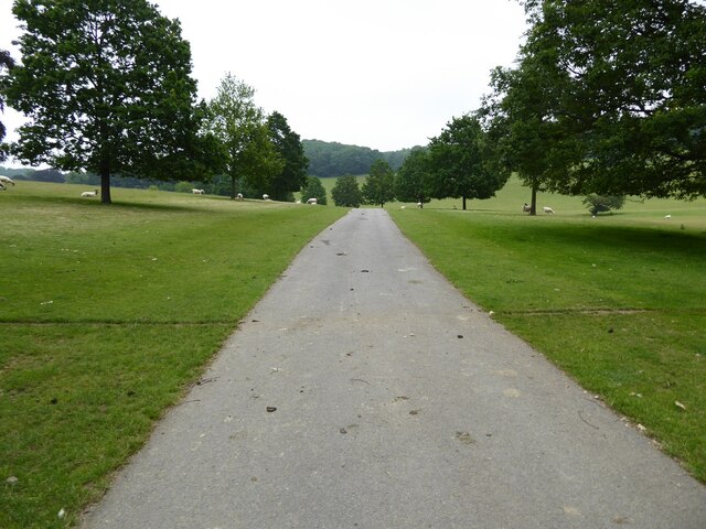
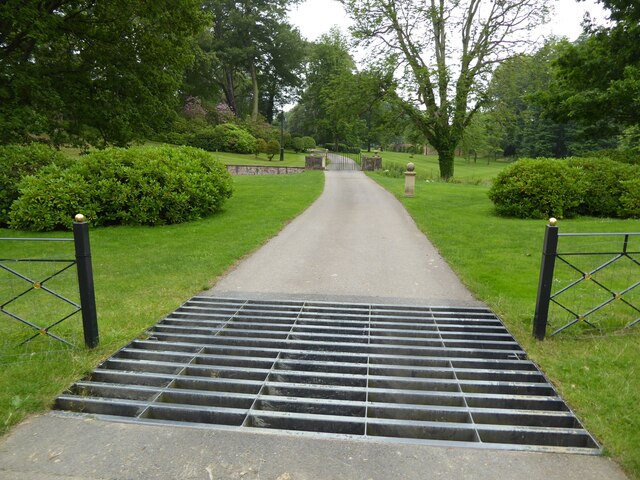
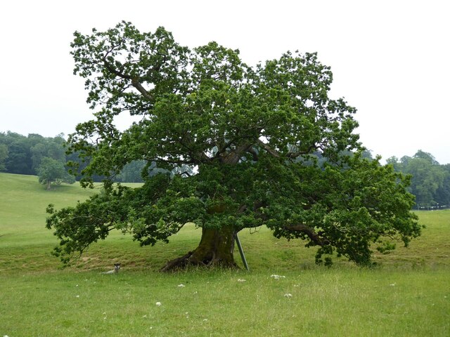
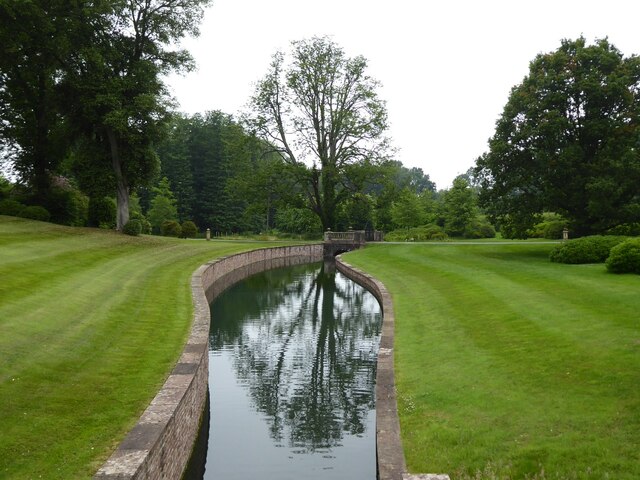
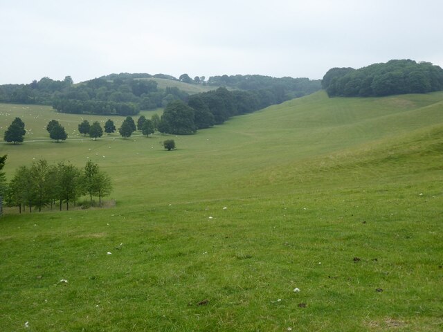
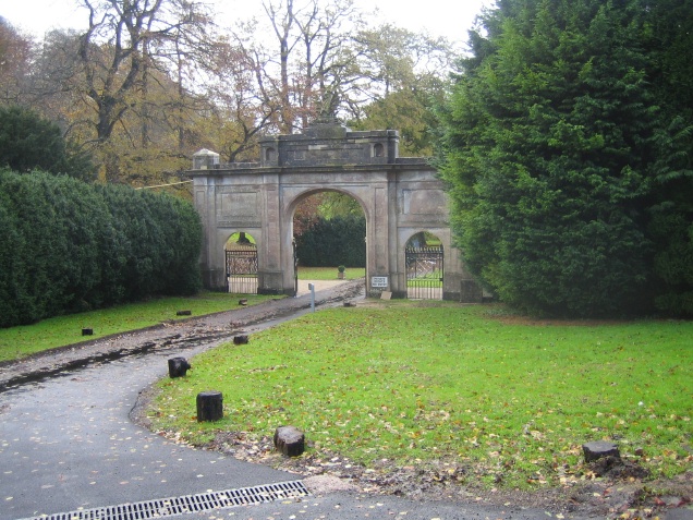
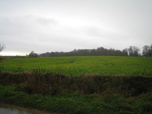
Dodington House is surrounded by meticulously maintained gardens and parkland. The gardens were redesigned in the 18th century by Charles Hamilton and feature terraces, ornamental flower beds, and a picturesque lake. The parkland, covering over 200 acres, offers a tranquil setting with mature trees, meadows, and wildlife.

Today, Dodington House is privately owned and occasionally opens to the public for guided tours and events. Its historical significance, architectural beauty, and stunning landscape make it a popular destination for history enthusiasts, architecture lovers, and nature seekers alike.

If you have any feedback on the listing, please let us know in the comments section below.

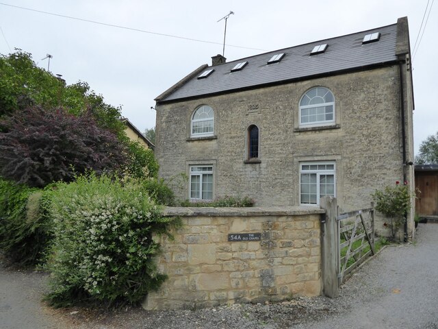
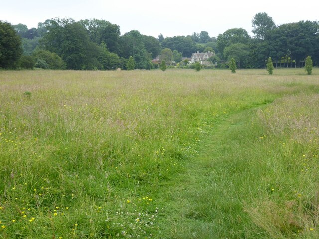
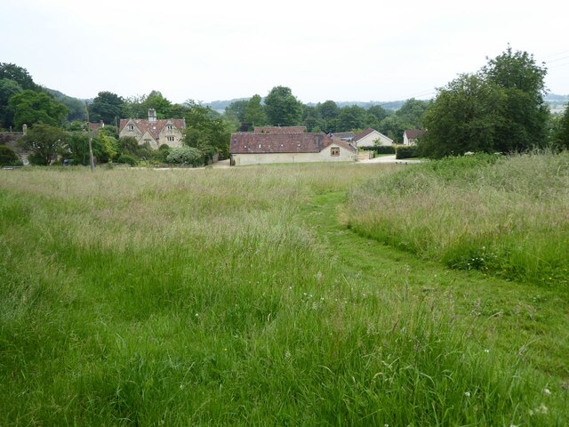
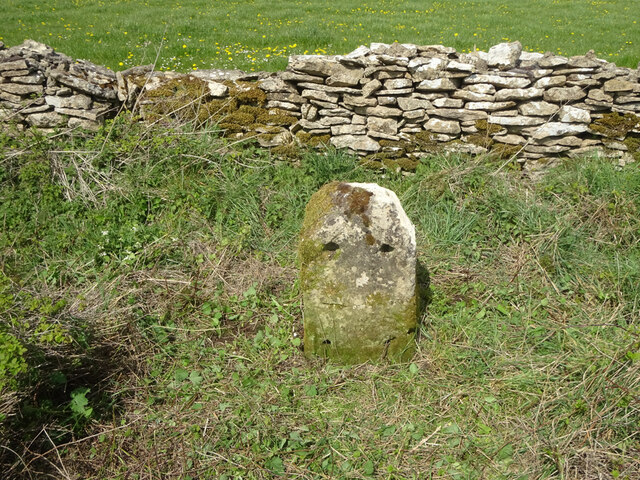
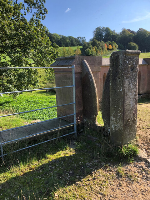
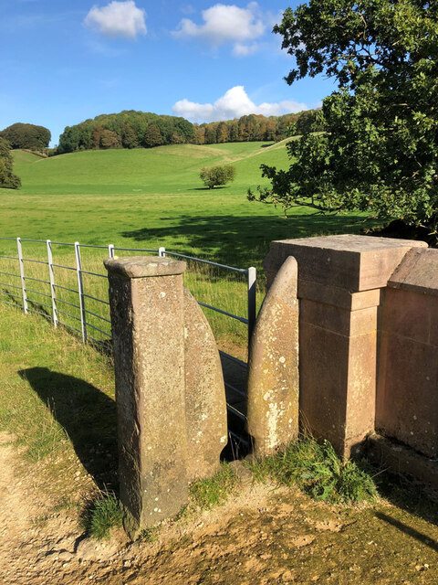
Dodington House Images

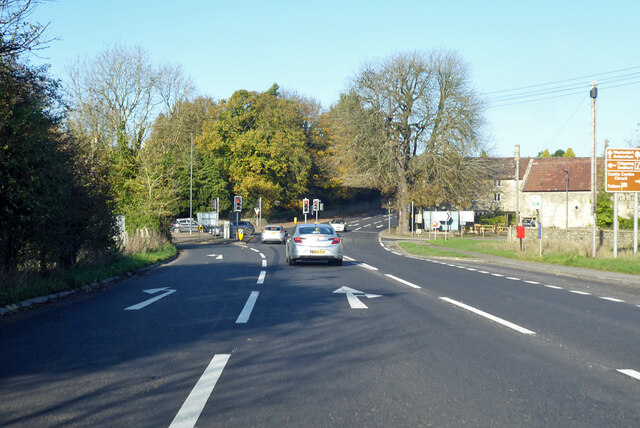
Images are sourced within 2km of 51.513/-2.353 or Grid Reference ST7579. Thanks to Geograph Open Source API. All images are credited.

The Old Chapel A converted chapel with a date of 1835 on the front.
The Old Chapel
A converted chapel with a date of 1835 on the front.
The Cotswold Way The Cotswold Way crossing a field to the south of Old Sodbury.
The Cotswold Way
The Cotswold Way crossing a field to the south of Old Sodbury.
Coomb's End Grassland viewed from the Cotswold Way passing through Coomb's End.
Coomb's End
Grassland viewed from the Cotswold Way passing through Coomb's End.
Drive through parkland at Dodington The parkland at Dodington was landscaped by 'Capability' Brown ion 1764.
Drive through parkland at Dodington
The parkland at Dodington was landscaped by 'Capability' Brown ion 1764.
Entrance at Dodington Entrance at Dodington viewed from the Cotswold Way long distance footpath with passes through the parkland.
Entrance at Dodington
Entrance at Dodington viewed from the Cotswold Way long distance footpath with passes through the parkland.
Oak tree Oak tree in Dodington Park.
Oak tree
Oak tree in Dodington Park.
Water channel Water channel in Dodington Park viewed from the Cotswold Way.
Water channel
Water channel in Dodington Park viewed from the Cotswold Way.
Parkland at Dodington The parkland at Dodington was landscaped by 'Capability' Brown in 1764.  Here it was viewed from the Cotswold Way.
Parkland at Dodington
The parkland at Dodington was landscaped by 'Capability' Brown in 1764. Here it was viewed from the Cotswold Way.
Old Milestone, B4040, Old Sodbury On the North side of B4040, ¼ of a mile East of the A46, heading towards Castle Combe. Recently impacted probably by the mower. The head of the rivet Benchmark was affected by this. BM representing 182.3 m ASL.
Earlier views see <a title="https://www.geograph.org.uk/photo/5678970" href="https://www.geograph.org.uk/photo/5678970">Link</a> & <a title="https://www.geograph.org.uk/photo/5678963" href="https://www.geograph.org.uk/photo/5678963">Link</a> & <a title="https://www.geograph.org.uk/photo/5678978" href="https://www.geograph.org.uk/photo/5678978">Link</a>

Inscription (was): Chipping Sodbury 3 / Chippenham 12

Milestone Society National ID: GL_SYCP03
Old Milestone, B4040, Old Sodbury
On the North side of B4040, ¼ of a mile East of the A46, heading towards Castle Combe. Recently impacted probably by the mower. The head of the rivet Benchmark was affected by this. BM representing 182.3 m ASL. Earlier views see Link & Link & Link Inscription (was): Chipping Sodbury 3 / Chippenham 12 Milestone Society National ID: GL_SYCP03
Stone Stile, Dodington Near Combe's End, in Dodington Park, where Gloucestershire footpaths LSO/68 & LDO/13 meet. This is looking South, the view North is <a href="https://www.geograph.org.uk/photo/7206819">ST7580 : Stone Stile, Dodington</a>.
Stone Stile, Dodington
Near Combe's End, in Dodington Park, where Gloucestershire footpaths LSO/68 & LDO/13 meet. This is looking South, the view North is ST7580 : Stone Stile, Dodington.
Stone Stile, Dodington Near Combe's End, in Dodington Park, where Gloucestershire footpaths LSO/68 & LDO/13 meet. This is looking North, the view South is <a href="https://www.geograph.org.uk/photo/7206812">ST7580 : Stone Stile, Dodington</a>.
Stone Stile, Dodington
Near Combe's End, in Dodington Park, where Gloucestershire footpaths LSO/68 & LDO/13 meet. This is looking North, the view South is ST7580 : Stone Stile, Dodington.
A46 Bath Road Towards Stroud, near Old Sodbury.
A46 Bath Road
Towards Stroud, near Old Sodbury.
A46/A432 junction, Old Sodbury Looking north, the A46 goes straight on.
A46/A432 junction, Old Sodbury
Looking north, the A46 goes straight on.
Footpath and gate in Old Sodbury
Camers - Old Sodbury Part of the National Garden Scheme open day
Camers - Old Sodbury
Part of the National Garden Scheme open day
Entrance to Doddington House Entrance to Doddington House from the A432
Entrance to Doddington House
Entrance to Doddington House from the A432
Cross Hands Hotel The Queen rested here one winter when she was snowed in.
Cross Hands Hotel
The Queen rested here one winter when she was snowed in.
Looking towards A46 Across the fields from the road to Tormarton
Looking towards A46
Across the fields from the road to Tormarton
Show me another place!

Dodington House is located at Grid Ref: ST7579 (Lat: 51.513, Lng: -2.353)

Unitary Authority: South Gloucestershire

Police Authority: Avon and Somerset

What 3 Words

///likely.edit.oath. Near Hinton, Gloucestershire

Related Wikis

Dodington Park

Dodington Park is a country house and estate in Dodington, South Gloucestershire, England. The house was built by James Wyatt for Christopher Bethell Codrington...

Dodington, Gloucestershire

Dodington is a village and civil parish in South Gloucestershire, England. The village lies in a small, fertile valley between Codrington and Old Sodbury...

Tormarton

Tormarton is a village in South Gloucestershire, England. Its name may come from Thor Maer Tun meaning The settlement with the thorn (tree) on the boundary...

Old Sodbury

Old Sodbury is a small village and former civil parish in the valley of the River Frome just below and to the west of the Cotswold escarpment and to the...

Chipping Sodbury railway station

Chipping Sodbury railway station was a railway station on the South Wales Main Line serving the town of Chipping Sodbury in Gloucestershire. The station...

Codrington, Gloucestershire

Codrington is a settlement in South Gloucestershire, England. It is located near Junction 18 of the M4 motorway south of Wapley and Yate. Codrington is...

Battle of Deorham

The Battle of Deorham (or Dyrham) is portrayed by the Anglo-Saxon Chronicle as an important military encounter between the West Saxons and the Britons...

Dyrham

Dyrham is a village and parish in South Gloucestershire, England. == Location and communications == Dyrham is at lat. 51° 29' north, long. 2° 22' west...

Nearby Amenities

Located within 500m of 51.513,-2.353
Dodington Park
Place: locality
Lat/Long: 51.5140994/-2.3545713
Artwork Type: statue
Tourism: artwork
Lat/Long: 51.5133698/-2.3527211
The data included in this document is from www.openstreetmap.org. The data is made available under ODbL.

Have you been to Dodington House?

Leave your review of Dodington House below (or comments, questions and feedback).