Pen Clump

Wood, Forest in Gloucestershire

England

Pen Clump

The Cotswold Way The Cotswold Way crossing a field to the south of Old Sodbury.
The Cotswold Way Credit: Philip Halling

Pen Clump is a small village located in the county of Gloucestershire, England. Situated in the heart of the Forest of Dean, Pen Clump is surrounded by lush woodlands and offers a tranquil and picturesque setting for its residents and visitors.

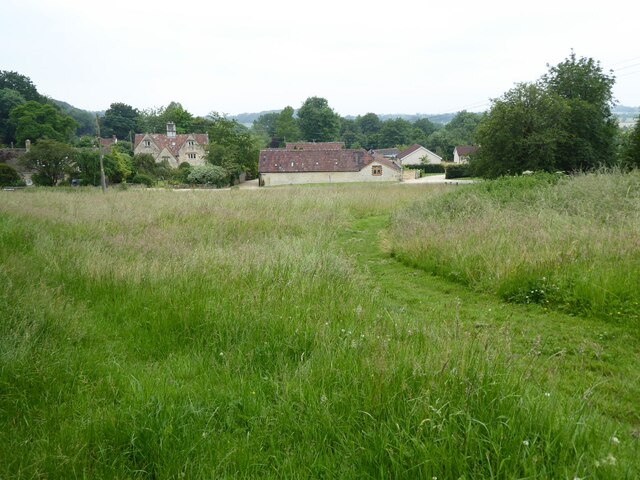
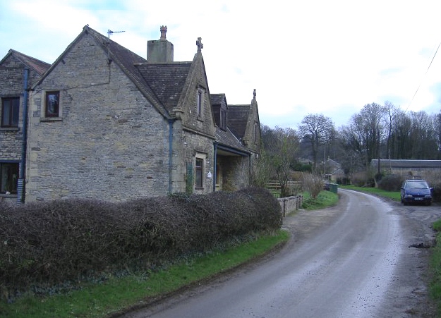
The village is characterized by its charming cottages, many of which date back to the 18th and 19th centuries, giving Pen Clump a unique historical appeal. The architecture of these buildings reflects the traditional style of the region, with their stone walls and thatched roofs.

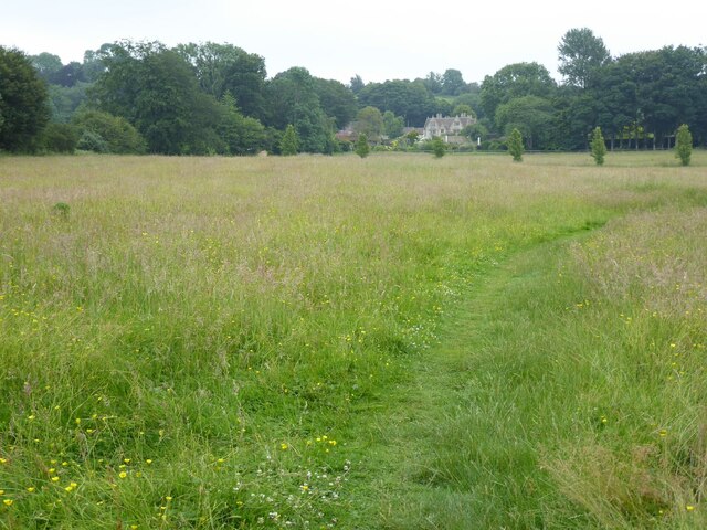
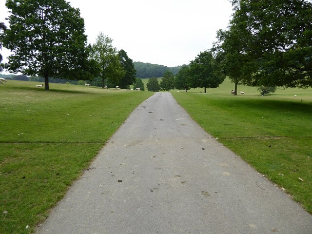
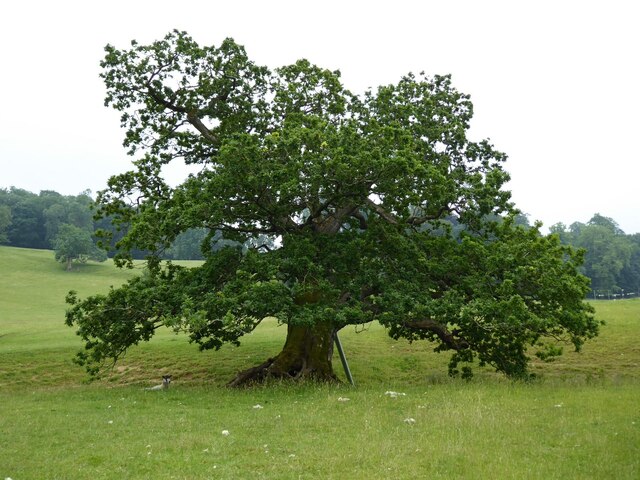
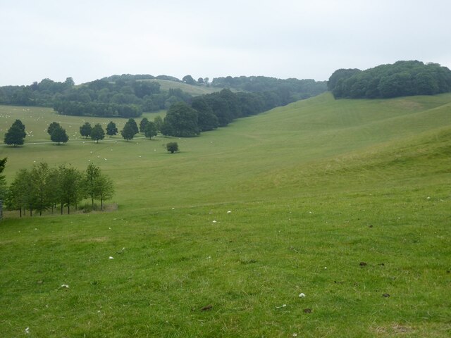
Nature enthusiasts are drawn to Pen Clump for its proximity to the ancient woodland that stretches across the Forest of Dean. The area is renowned for its diverse flora and fauna, including rare species such as the pied flycatcher and the lesser horseshoe bat. Walking and cycling trails crisscross the woodlands, providing opportunities for outdoor recreation and exploration.

Despite its small size, Pen Clump offers a range of amenities to cater to its residents' needs. The village boasts a local pub, where locals and visitors can gather for a drink and a meal, as well as a small convenience store for everyday necessities. For more extensive shopping and entertainment options, the nearby town of Coleford is easily accessible.

In summary, Pen Clump is a charming village nestled within the scenic woodlands of Gloucestershire's Forest of Dean. With its historical architecture and natural beauty, it provides a peaceful retreat for those seeking a rural escape from the bustle of modern life.

If you have any feedback on the listing, please let us know in the comments section below.
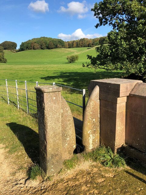
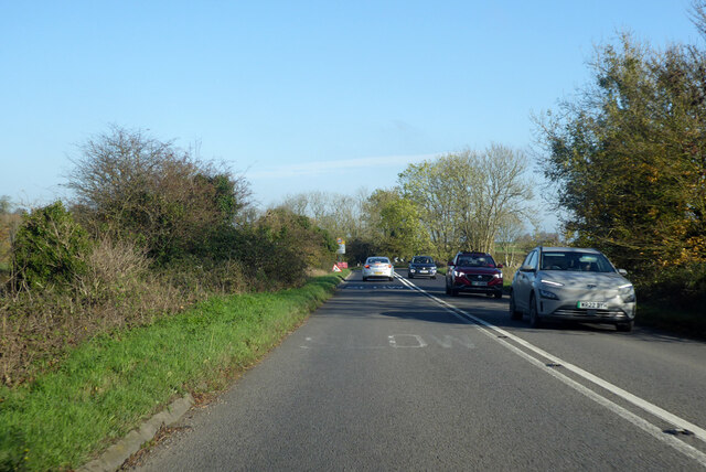
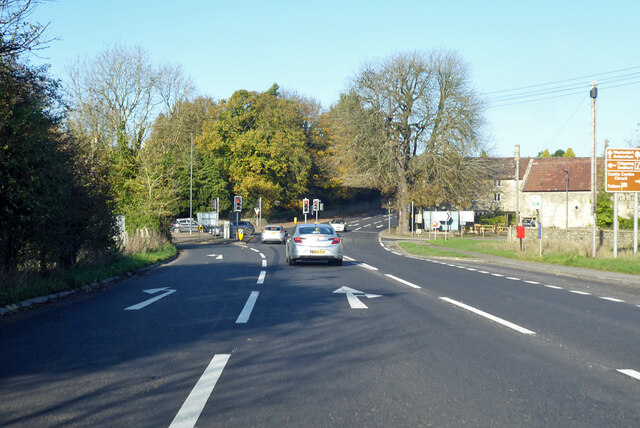
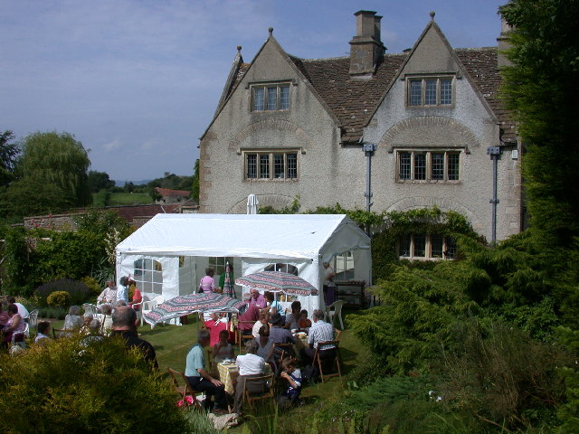
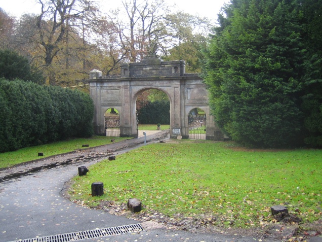
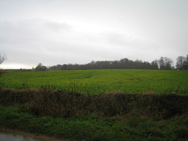
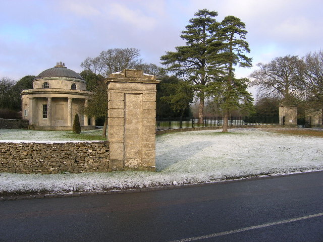
Pen Clump Images

Images are sourced within 2km of 51.511646/-2.3493038 or Grid Reference ST7579. Thanks to Geograph Open Source API. All images are credited.

The Cotswold Way The Cotswold Way crossing a field to the south of Old Sodbury.
The Cotswold Way
The Cotswold Way crossing a field to the south of Old Sodbury.
Coomb's End Grassland viewed from the Cotswold Way passing through Coomb's End.
Coomb's End
Grassland viewed from the Cotswold Way passing through Coomb's End.
Drive through parkland at Dodington The parkland at Dodington was landscaped by 'Capability' Brown ion 1764.
Drive through parkland at Dodington
The parkland at Dodington was landscaped by 'Capability' Brown ion 1764.
Entrance at Dodington Entrance at Dodington viewed from the Cotswold Way long distance footpath with passes through the parkland.
Entrance at Dodington
Entrance at Dodington viewed from the Cotswold Way long distance footpath with passes through the parkland.
Oak tree Oak tree in Dodington Park.
Oak tree
Oak tree in Dodington Park.
Water channel Water channel in Dodington Park viewed from the Cotswold Way.
Water channel
Water channel in Dodington Park viewed from the Cotswold Way.
Parkland at Dodington The parkland at Dodington was landscaped by 'Capability' Brown in 1764.  Here it was viewed from the Cotswold Way.
Parkland at Dodington
The parkland at Dodington was landscaped by 'Capability' Brown in 1764. Here it was viewed from the Cotswold Way.
Stone Stile, Dodington Near Combe's End, in Dodington Park, where Gloucestershire footpaths LSO/68 & LDO/13 meet. This is looking South, the view North is <a href="https://www.geograph.org.uk/photo/7206819">ST7580 : Stone Stile, Dodington</a>.
Stone Stile, Dodington
Near Combe's End, in Dodington Park, where Gloucestershire footpaths LSO/68 & LDO/13 meet. This is looking South, the view North is ST7580 : Stone Stile, Dodington.
Stone Stile, Dodington Near Combe's End, in Dodington Park, where Gloucestershire footpaths LSO/68 & LDO/13 meet. This is looking North, the view South is <a href="https://www.geograph.org.uk/photo/7206812">ST7580 : Stone Stile, Dodington</a>.
Stone Stile, Dodington
Near Combe's End, in Dodington Park, where Gloucestershire footpaths LSO/68 & LDO/13 meet. This is looking North, the view South is ST7580 : Stone Stile, Dodington.
A46 Bath Road Towards Stroud, near Old Sodbury.
A46 Bath Road
Towards Stroud, near Old Sodbury.
A46/A432 junction, Old Sodbury Looking north, the A46 goes straight on.
A46/A432 junction, Old Sodbury
Looking north, the A46 goes straight on.
Camers - Old Sodbury Part of the National Garden Scheme open day
Camers - Old Sodbury
Part of the National Garden Scheme open day
Entrance to Doddington House Entrance to Doddington House from the A432
Entrance to Doddington House
Entrance to Doddington House from the A432
Looking towards A46 Across the fields from the road to Tormarton
Looking towards A46
Across the fields from the road to Tormarton
Cottages at Dodington Former estate dwellings.
Cottages at Dodington
Former estate dwellings.
Track to Eyles's Quarry A view looking to the south along the track to Eyles's Quarry. The small woodland of Bennett's Gorse is on the right.
Track to Eyles's Quarry
A view looking to the south along the track to Eyles's Quarry. The small woodland of Bennett's Gorse is on the right.
Along the lines A view looking to the south over farmland, along the course of a high voltage transmission line. The track to Eyles's Quarry can be seen on the left.
Along the lines
A view looking to the south over farmland, along the course of a high voltage transmission line. The track to Eyles's Quarry can be seen on the left.
Mill Lane from Chapel Lane near Old Sodbury
Show me another place!

Pen Clump is located at Grid Ref: ST7579 (Lat: 51.511646, Lng: -2.3493038)

Unitary Authority: South Gloucestershire

Police Authority: Avon and Somerset

What 3 Words

///tower.tops.rising. Near Hinton, Gloucestershire

Related Wikis

Dodington Park

Dodington Park is a country house and estate in Dodington, South Gloucestershire, England. The house was built by James Wyatt for Christopher Bethell Codrington...

Tormarton

Tormarton is a village in South Gloucestershire, England. Its name may come from Thor Maer Tun meaning The settlement with the thorn (tree) on the boundary...

Dodington, Gloucestershire

Dodington is a village and civil parish in South Gloucestershire, England. The village lies in a small, fertile valley between Codrington and Old Sodbury...

Old Sodbury

Old Sodbury is a small village and former civil parish in the valley of the River Frome just below and to the west of the Cotswold escarpment and to the...

Battle of Deorham

The Battle of Deorham (or Dyrham) is portrayed by the Anglo-Saxon Chronicle as an important military encounter between the West Saxons and the Britons...

Chipping Sodbury railway station

Chipping Sodbury railway station was a railway station on the South Wales Main Line serving the town of Chipping Sodbury in Gloucestershire. The station...

Codrington, Gloucestershire

Codrington is a settlement in South Gloucestershire, England. It is located near Junction 18 of the M4 motorway south of Wapley and Yate. Codrington is...

Dyrham

Dyrham is a village and parish in South Gloucestershire, England. == Location and communications == Dyrham is at lat. 51° 29' north, long. 2° 22' west...

Nearby Amenities

Located within 500m of 51.511646,-2.3493038
Dodington Park
Place: locality
Lat/Long: 51.5140994/-2.3545713
Artwork Type: statue
Tourism: artwork
Lat/Long: 51.5133698/-2.3527211
Natural: spring
Lat/Long: 51.5100846/-2.3437196
Barrier: stile
Stile: stepover
Lat/Long: 51.5095429/-2.3432044
Natural: spring
Lat/Long: 51.5107766/-2.3442923
The data included in this document is from www.openstreetmap.org. The data is made available under ODbL.

Have you been to Pen Clump?

Leave your review of Pen Clump below (or comments, questions and feedback).