Dirlot Castle

Heritage Site in Caithness

Scotland

Dirlot Castle

Farmland at Dalemore Looking towards the Causeymire Wind Farm.
Farmland at Dalemore Credit: Claire Pegrum

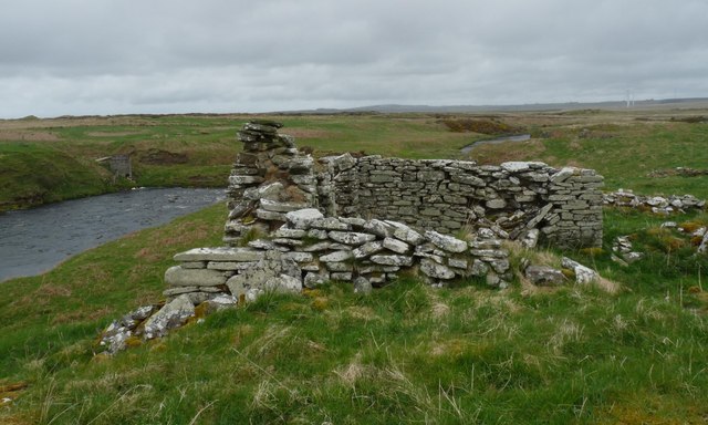
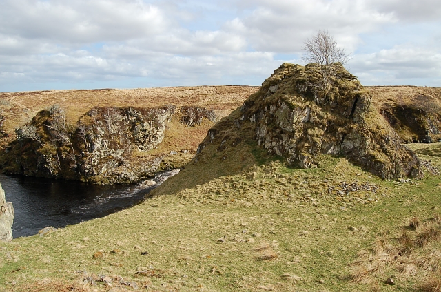
Dirlot Castle, located in Caithness, is a historic heritage site that stands as a testament to the region's rich history and architectural heritage. Situated on a rocky promontory overlooking the North Sea, the castle offers visitors a glimpse into the past and a chance to explore its intriguing ruins.

Believed to have been built in the 15th century, Dirlot Castle was originally a five-story tower house, surrounded by a defensive wall. The castle's strategic location allowed its occupants to monitor and control the movement along the coast, making it an important stronghold during turbulent times.

The castle fell into ruin in the 17th century, and today, only remnants of the original structure remain. The roofless tower house still stands, providing a glimpse of its former grandeur. Visitors can explore the castle's interior, climbing the narrow stone staircases to access each level and enjoying panoramic views of the surrounding landscape from the upper floors.

Dirlot Castle is also known for its connections to the infamous Clan Sinclair, who were once the owners of the castle. The Sinclairs played a significant role in Scottish history, and their influence can still be felt in the area.

Today, Dirlot Castle serves as a popular tourist attraction, drawing history enthusiasts and curious visitors alike. The castle's picturesque setting, combined with its rich historical significance, makes it a must-visit destination for those exploring the Caithness region.

If you have any feedback on the listing, please let us know in the comments section below.

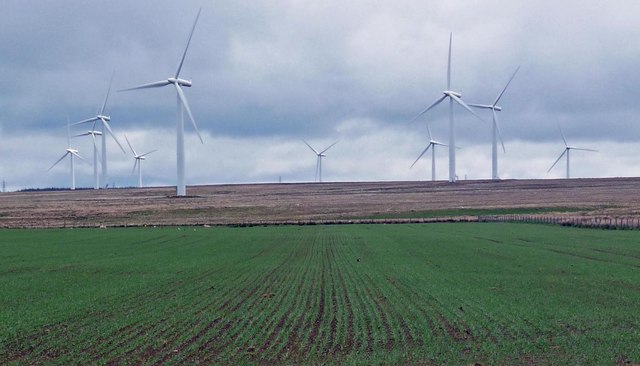
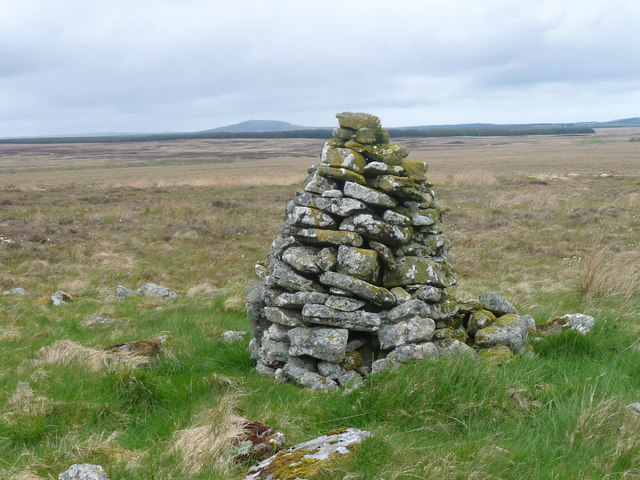
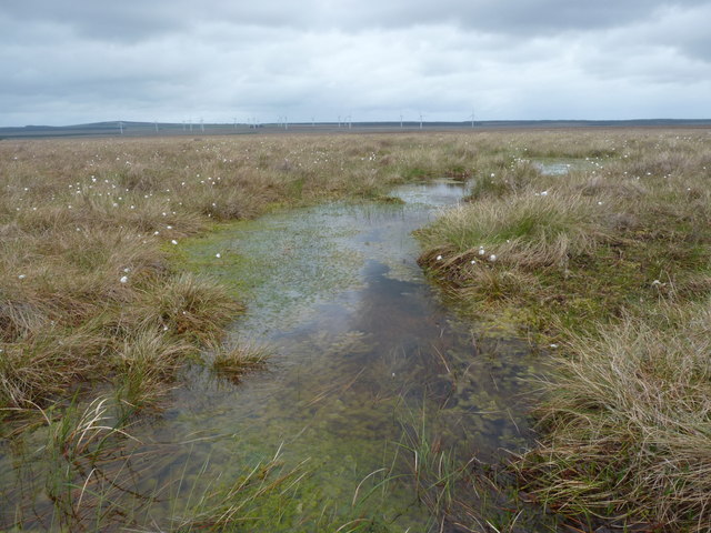
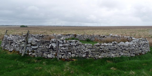
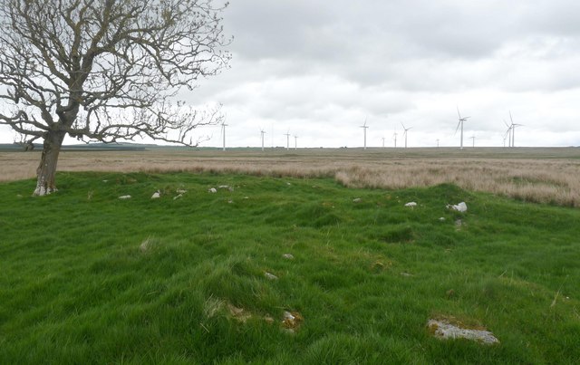
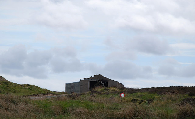
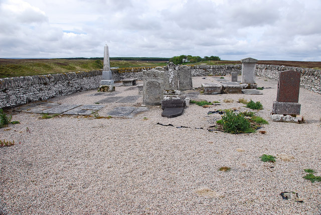
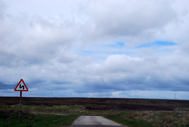
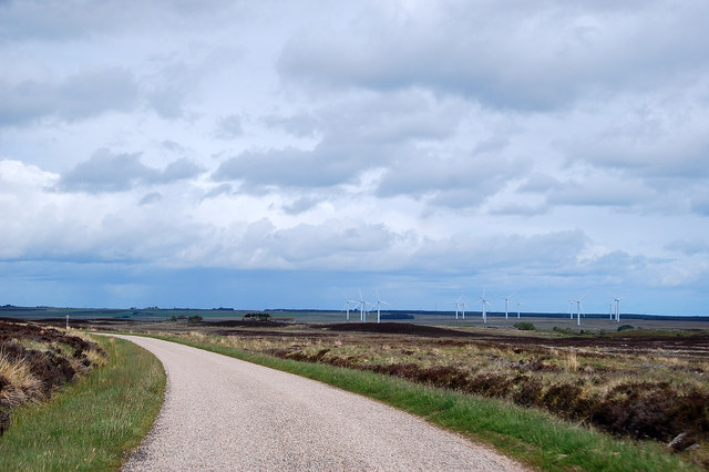
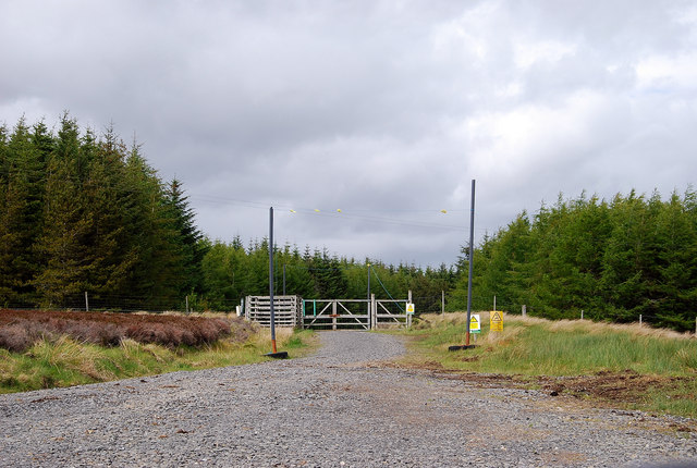
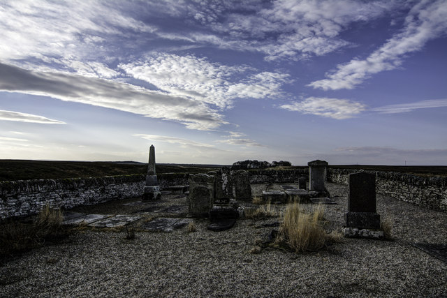
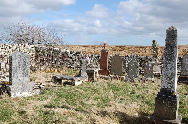
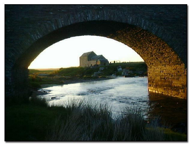
Dirlot Castle Images

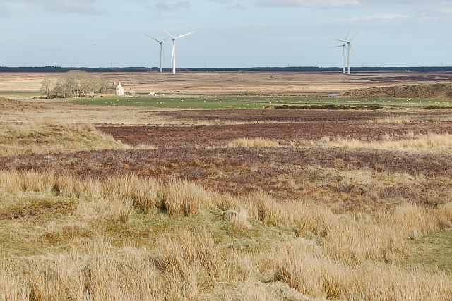
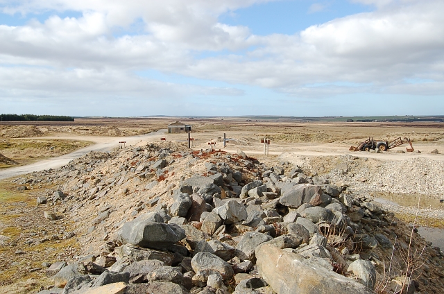
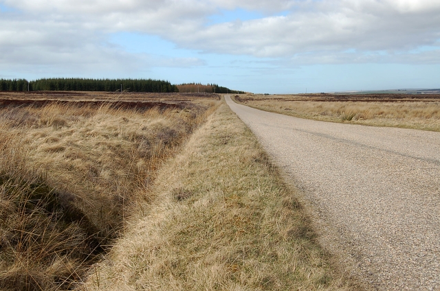
Images are sourced within 2km of 58.417/-3.498 or Grid Reference ND1248. Thanks to Geograph Open Source API. All images are credited.

Farmland at Dalemore Looking towards the Causeymire Wind Farm.
Farmland at Dalemore
Looking towards the Causeymire Wind Farm.
Shepherd's cairn, Beinn Chaiteag A shepherd's cairn is shown here on the 1876 OS six inch map.  The cairn shown on the current OS map refers to a burial cairn to the south (ref <span class="nowrap"><a title="http://canmore.rcahms.gov.uk/en/site/8237/details/beinn+chaiteag" rel="nofollow ugc noopener" href="http://canmore.rcahms.gov.uk/en/site/8237/details/beinn+chaiteag">Link</a><img style="margin-left:2px;" alt="External link" title="External link - shift click to open in new window" src="https://s1.geograph.org.uk/img/external.png" width="10" height="10"/></span> ).
Shepherd's cairn, Beinn Chaiteag
A shepherd's cairn is shown here on the 1876 OS six inch map. The cairn shown on the current OS map refers to a burial cairn to the south (ref LinkExternal link ).
Moorland pool, Beinn Chaiteag Looking towards the Causeymire Wind Farm.
Moorland pool, Beinn Chaiteag
Looking towards the Causeymire Wind Farm.
Remains of Caiteag farmstead The farmstead lay by the River Thurso and comprised a longhouse, which was built over an earlier longhouse and its enclosures, and two enclosures (ref <span class="nowrap"><a title="http://canmore.rcahms.gov.uk/en/site/8258/details/caiteag" rel="nofollow ugc noopener" href="http://canmore.rcahms.gov.uk/en/site/8258/details/caiteag">Link</a><img style="margin-left:2px;" alt="External link" title="External link - shift click to open in new window" src="https://s1.geograph.org.uk/img/external.png" width="10" height="10"/></span> ).
Remains of Caiteag farmstead
The farmstead lay by the River Thurso and comprised a longhouse, which was built over an earlier longhouse and its enclosures, and two enclosures (ref LinkExternal link ).
Sheepfold near Caiteag The sheepfold is shown on the 1876 OS six inch map and lies approximately 150m to the SSE of the <a href="https://www.geograph.org.uk/photo/2418205">ND1348 : Remains of Caiteag farmstead</a>.
Sheepfold near Caiteag
The sheepfold is shown on the 1876 OS six inch map and lies approximately 150m to the SSE of the ND1348 : Remains of Caiteag farmstead.
Remains of farmstead at Dalemore The photo shows a longhouse (left to right) with a barn or byre at right angles to it (foreground) (ref <span class="nowrap"><a title="http://canmore.rcahms.gov.uk/en/site/8249/details/dalemore" rel="nofollow ugc noopener" href="http://canmore.rcahms.gov.uk/en/site/8249/details/dalemore">Link</a><img style="margin-left:2px;" alt="External link" title="External link - shift click to open in new window" src="https://s1.geograph.org.uk/img/external.png" width="10" height="10"/></span> ).
Remains of farmstead at Dalemore
The photo shows a longhouse (left to right) with a barn or byre at right angles to it (foreground) (ref LinkExternal link ).
Bridge across the River Thurso It's not clear on the OS 1:50,000, but the river splits in two around an island at this point.  Therefore there are two bridges, one either side of the island.  This is the northern one.
Bridge across the River Thurso
It's not clear on the OS 1:50,000, but the river splits in two around an island at this point. Therefore there are two bridges, one either side of the island. This is the northern one.
Sandpit Works Sadly so much dereliction but reminders of a not too distant past.
Sandpit Works
Sadly so much dereliction but reminders of a not too distant past.
Acharynie Cemetery Such a wind-swept and lonesome place.  Loved the protruding step on the perimeter dyke to gain access. But difficult for those of advancing years!
Acharynie Cemetery
Such a wind-swept and lonesome place. Loved the protruding step on the perimeter dyke to gain access. But difficult for those of advancing years!
Road in Moorland Difficult to take a meaningful photograph with bog cover - hence the road.
Road in Moorland
Difficult to take a meaningful photograph with bog cover - hence the road.
The Way Ahead Sadly the wind turbines dominate the scene.
The Way Ahead
Sadly the wind turbines dominate the scene.
Forest Access Braehour Forest (typical of many round here) has destroyed valuable peatland. Fortunately there are moves to reverse this e.g. the RSPB's initiative at Forsinain.
Forest Access
Braehour Forest (typical of many round here) has destroyed valuable peatland. Fortunately there are moves to reverse this e.g. the RSPB's initiative at Forsinain.
Acharynie Cemetery
Acharynie Cemetery
Dirlot Castle Next to nothing now remains of the castle. The small keep stood on top of this rock spike with a curtain wall and perhaps two smaller towers on the low ground below the spike. Never much of a defensive position it served more as a frontier post on the edge of the Keiss, Sinclair and Gunn clan lands.
Dirlot Castle
Next to nothing now remains of the castle. The small keep stood on top of this rock spike with a curtain wall and perhaps two smaller towers on the low ground below the spike. Never much of a defensive position it served more as a frontier post on the edge of the Keiss, Sinclair and Gunn clan lands.
By Dalemore Looking across the moorland to Dalemore at the far east end of the square. Windfarm is out by Achkeepster.
By Dalemore
Looking across the moorland to Dalemore at the far east end of the square. Windfarm is out by Achkeepster.
Dirlot sand pit This is just one of several pits that sprang up when Dounreay was under construction. This area around the Lochmore area has large deposits of sand and gravel.
Dirlot sand pit
This is just one of several pits that sprang up when Dounreay was under construction. This area around the Lochmore area has large deposits of sand and gravel.
Lochmore Road by Dirlot Good quality single track road into Lochmore from West Calder. Typical Caithness moorland on either side.
Lochmore Road by Dirlot
Good quality single track road into Lochmore from West Calder. Typical Caithness moorland on either side.
Dirlot Cemetery A very old cemetery constructed in an arrow head shape above a small gorge on the Thurso River right next to the castle.
Dirlot Cemetery
A very old cemetery constructed in an arrow head shape above a small gorge on the Thurso River right next to the castle.
Show me another place!

Dirlot Castle is located at Grid Ref: ND1248 (Lat: 58.417, Lng: -3.498)

Unitary Authority: Highlands

Police Authority: Highland and Islands

What 3 Words

///mugs.grit.heightens. Near Halkirk, Highland

Related Wikis

Caithness

Caithness (Scottish Gaelic: Gallaibh [ˈkal̪ˠɪv]; Old Norse: Katanes) is a historic county, registration county and lieutenancy area of Scotland. Caithness...

Tormsdale

Tormsdale is a megalithic site on the banks of the River Thurso, in Caithness, Scotland. It is 3 kilometres (1.9 mi) south of Westerdale. The site consists...

Westerdale, Highland

Westerdale (Scottish Gaelic: An Dail Shuas) is a scattered crofting village which lies on the River Thurso, located five miles (eight kilometres) directly...

Loch More, Caithness

Loch More (great Loch in Gaelic) is a freshwater loch in Caithness, Scotland, about 14 miles (23 kilometres) south of Thurso. It is a shallow flat-bottomed...

Have you been to Dirlot Castle?

Leave your review of Dirlot Castle below (or comments, questions and feedback).