Redbrae Pool

Lake, Pool, Pond, Freshwater Marsh in Caithness

Scotland

Redbrae Pool

Farmland at Dalemore Looking towards the Causeymire Wind Farm.
Farmland at Dalemore Credit: Claire Pegrum

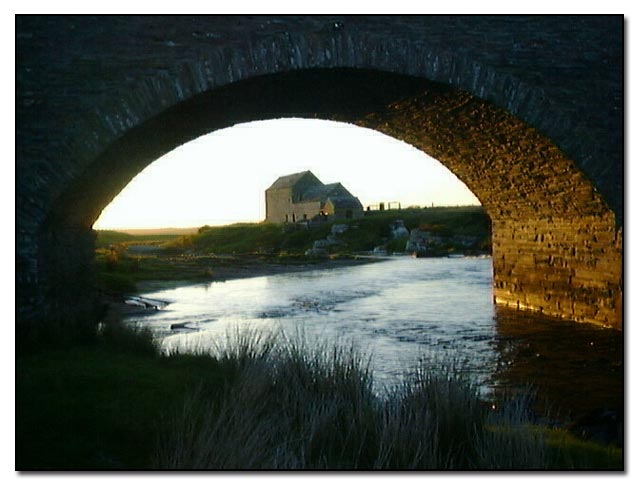
Redbrae Pool is a picturesque freshwater marsh located in the county of Caithness, Scotland. Situated amidst stunning natural beauty, it is a popular destination for both locals and tourists seeking tranquility and a chance to connect with nature.

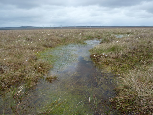
Covering an area of approximately 10 acres, Redbrae Pool is characterized by its still, calm waters and lush vegetation. The pool itself is relatively shallow and has a maximum depth of around 6 feet. It is surrounded by a diverse range of plant life, including reeds, rushes, and water lilies, which provide a vibrant and colorful backdrop to the pool.

The pool serves as a vital habitat for a wide variety of wildlife. Numerous species of birds call Redbrae Pool their home, making it a haven for birdwatchers. Visitors can catch glimpses of graceful swans, ducks, and herons gracefully gliding across the water, while the surrounding marshes attract wading birds, such as snipes and lapwings.

Redbrae Pool is not only a sanctuary for birds but also supports a rich aquatic ecosystem. It is home to various fish species, including perch, pike, and roach, making it a haven for fishing enthusiasts. The pool also provides a habitat for amphibians, such as frogs and newts, which can often be spotted around the edges of the water.

Surrounded by rolling hills and offering stunning panoramic views, Redbrae Pool in Caithness is a hidden gem for nature lovers. Its tranquil waters, diverse plant life, and abundant wildlife make it a must-visit destination for those seeking a peaceful retreat and an opportunity to immerse themselves in the beauty of the Scottish countryside.

If you have any feedback on the listing, please let us know in the comments section below.
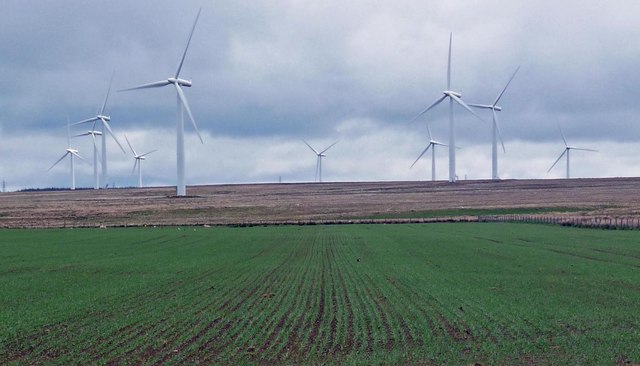
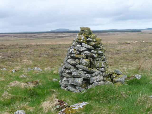
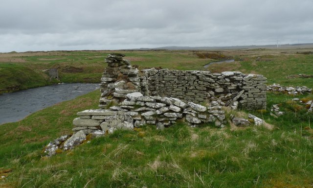
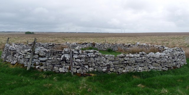
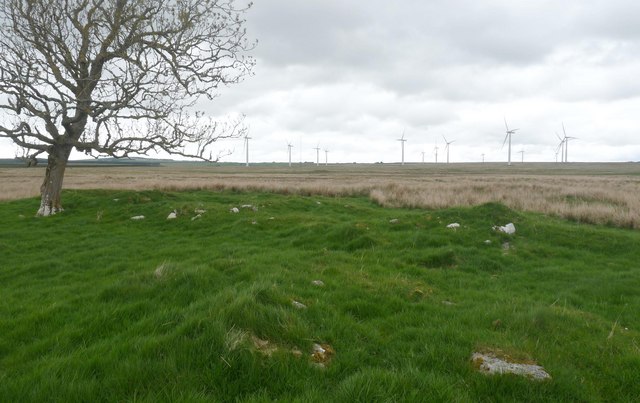
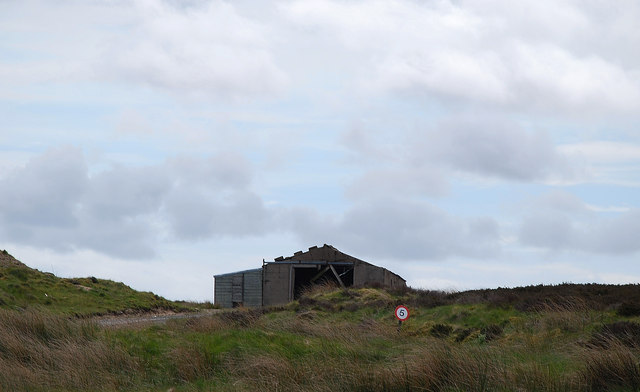
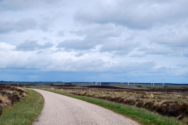
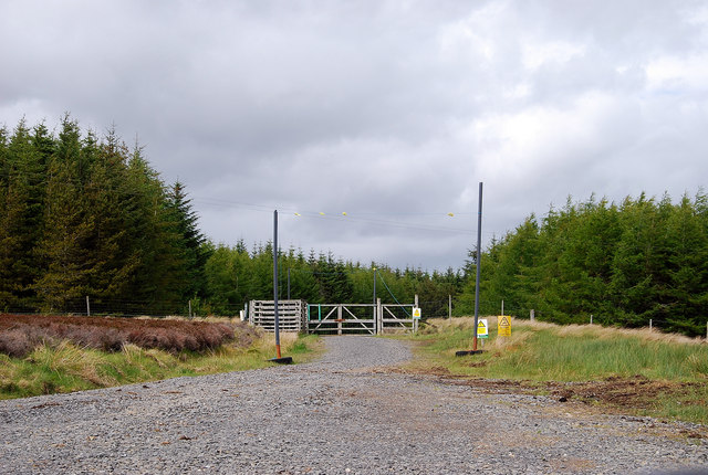
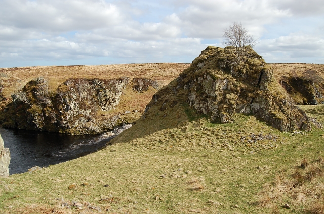
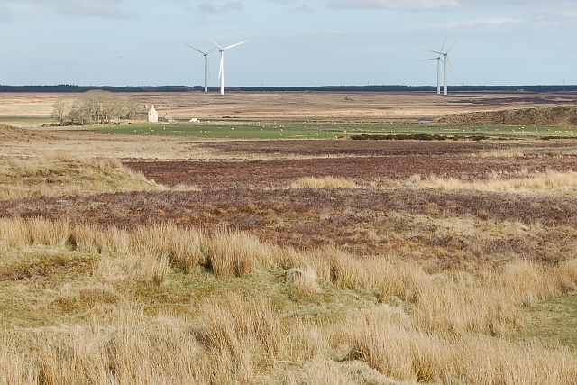
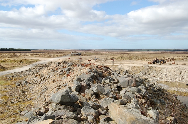
Redbrae Pool Images

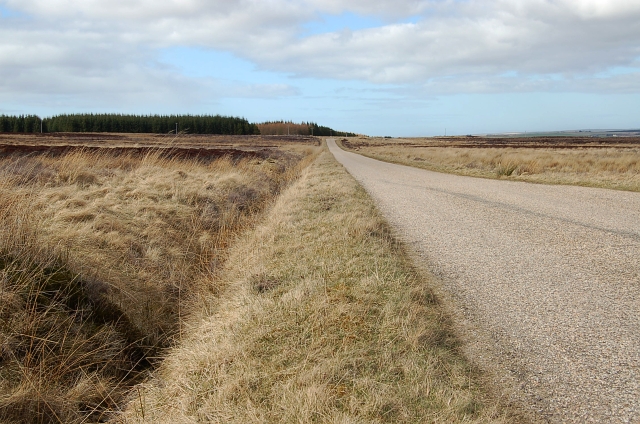
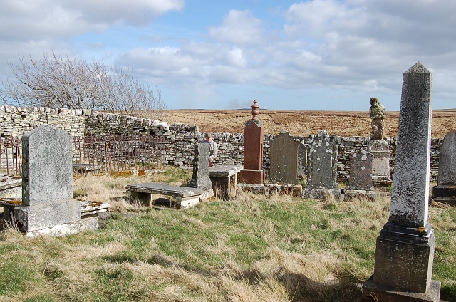
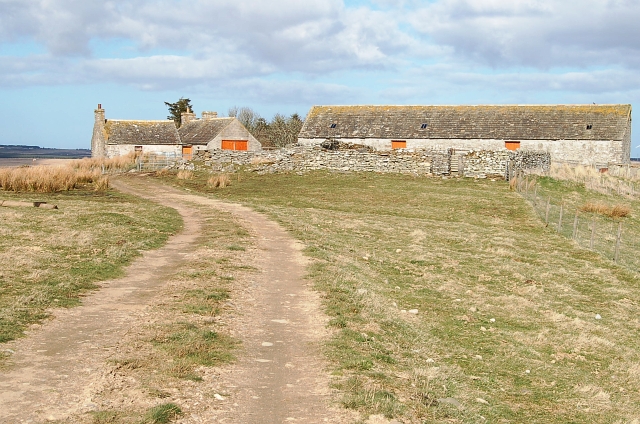
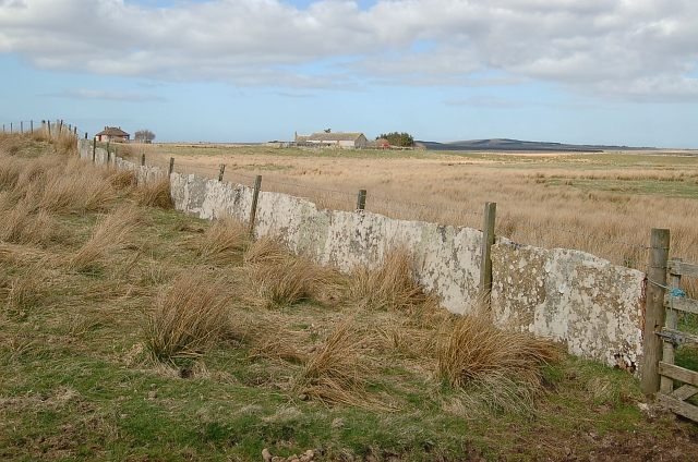
Images are sourced within 2km of 58.418609/-3.4916918 or Grid Reference ND1248. Thanks to Geograph Open Source API. All images are credited.

Farmland at Dalemore Looking towards the Causeymire Wind Farm.
Farmland at Dalemore
Looking towards the Causeymire Wind Farm.
Shepherd's cairn, Beinn Chaiteag A shepherd's cairn is shown here on the 1876 OS six inch map.  The cairn shown on the current OS map refers to a burial cairn to the south (ref <span class="nowrap"><a title="http://canmore.rcahms.gov.uk/en/site/8237/details/beinn+chaiteag" rel="nofollow ugc noopener" href="http://canmore.rcahms.gov.uk/en/site/8237/details/beinn+chaiteag">Link</a><img style="margin-left:2px;" alt="External link" title="External link - shift click to open in new window" src="https://s1.geograph.org.uk/img/external.png" width="10" height="10"/></span> ).
Shepherd's cairn, Beinn Chaiteag
A shepherd's cairn is shown here on the 1876 OS six inch map. The cairn shown on the current OS map refers to a burial cairn to the south (ref LinkExternal link ).
Moorland pool, Beinn Chaiteag Looking towards the Causeymire Wind Farm.
Moorland pool, Beinn Chaiteag
Looking towards the Causeymire Wind Farm.
Remains of Caiteag farmstead The farmstead lay by the River Thurso and comprised a longhouse, which was built over an earlier longhouse and its enclosures, and two enclosures (ref <span class="nowrap"><a title="http://canmore.rcahms.gov.uk/en/site/8258/details/caiteag" rel="nofollow ugc noopener" href="http://canmore.rcahms.gov.uk/en/site/8258/details/caiteag">Link</a><img style="margin-left:2px;" alt="External link" title="External link - shift click to open in new window" src="https://s1.geograph.org.uk/img/external.png" width="10" height="10"/></span> ).
Remains of Caiteag farmstead
The farmstead lay by the River Thurso and comprised a longhouse, which was built over an earlier longhouse and its enclosures, and two enclosures (ref LinkExternal link ).
Sheepfold near Caiteag The sheepfold is shown on the 1876 OS six inch map and lies approximately 150m to the SSE of the <a href="https://www.geograph.org.uk/photo/2418205">ND1348 : Remains of Caiteag farmstead</a>.
Sheepfold near Caiteag
The sheepfold is shown on the 1876 OS six inch map and lies approximately 150m to the SSE of the ND1348 : Remains of Caiteag farmstead.
Remains of Rihevard township Looking towards the Causeymire Wind Farm.
The township comprised two or three longhouses, a corn drying kiln and enclosures (ref <span class="nowrap"><a title="http://canmore.rcahms.gov.uk/en/site/8256/details/rihevard" rel="nofollow ugc noopener" href="http://canmore.rcahms.gov.uk/en/site/8256/details/rihevard">Link</a><img style="margin-left:2px;" alt="External link" title="External link - shift click to open in new window" src="https://s1.geograph.org.uk/img/external.png" width="10" height="10"/></span> ).
Remains of Rihevard township
Looking towards the Causeymire Wind Farm. The township comprised two or three longhouses, a corn drying kiln and enclosures (ref LinkExternal link ).
Remains of farmstead at Dalemore The photo shows a longhouse (left to right) with a barn or byre at right angles to it (foreground) (ref <span class="nowrap"><a title="http://canmore.rcahms.gov.uk/en/site/8249/details/dalemore" rel="nofollow ugc noopener" href="http://canmore.rcahms.gov.uk/en/site/8249/details/dalemore">Link</a><img style="margin-left:2px;" alt="External link" title="External link - shift click to open in new window" src="https://s1.geograph.org.uk/img/external.png" width="10" height="10"/></span> ).
Remains of farmstead at Dalemore
The photo shows a longhouse (left to right) with a barn or byre at right angles to it (foreground) (ref LinkExternal link ).
Bridge across the River Thurso It's not clear on the OS 1:50,000, but the river splits in two around an island at this point.  Therefore there are two bridges, one either side of the island.  This is the northern one.
Bridge across the River Thurso
It's not clear on the OS 1:50,000, but the river splits in two around an island at this point. Therefore there are two bridges, one either side of the island. This is the northern one.
Sandpit Works Sadly so much dereliction but reminders of a not too distant past.
Sandpit Works
Sadly so much dereliction but reminders of a not too distant past.
The Way Ahead Sadly the wind turbines dominate the scene.
The Way Ahead
Sadly the wind turbines dominate the scene.
Forest Access Braehour Forest (typical of many round here) has destroyed valuable peatland. Fortunately there are moves to reverse this e.g. the RSPB's initiative at Forsinain.
Forest Access
Braehour Forest (typical of many round here) has destroyed valuable peatland. Fortunately there are moves to reverse this e.g. the RSPB's initiative at Forsinain.
Dirlot Castle Next to nothing now remains of the castle. The small keep stood on top of this rock spike with a curtain wall and perhaps two smaller towers on the low ground below the spike. Never much of a defensive position it served more as a frontier post on the edge of the Keiss, Sinclair and Gunn clan lands.
Dirlot Castle
Next to nothing now remains of the castle. The small keep stood on top of this rock spike with a curtain wall and perhaps two smaller towers on the low ground below the spike. Never much of a defensive position it served more as a frontier post on the edge of the Keiss, Sinclair and Gunn clan lands.
By Dalemore Looking across the moorland to Dalemore at the far east end of the square. Windfarm is out by Achkeepster.
By Dalemore
Looking across the moorland to Dalemore at the far east end of the square. Windfarm is out by Achkeepster.
Dirlot sand pit This is just one of several pits that sprang up when Dounreay was under construction. This area around the Lochmore area has large deposits of sand and gravel.
Dirlot sand pit
This is just one of several pits that sprang up when Dounreay was under construction. This area around the Lochmore area has large deposits of sand and gravel.
Lochmore Road by Dirlot Good quality single track road into Lochmore from West Calder. Typical Caithness moorland on either side.
Lochmore Road by Dirlot
Good quality single track road into Lochmore from West Calder. Typical Caithness moorland on either side.
Dirlot Cemetery A very old cemetery constructed in an arrow head shape above a small gorge on the Thurso River right next to the castle.
Dirlot Cemetery
A very old cemetery constructed in an arrow head shape above a small gorge on the Thurso River right next to the castle.
Dirlot Farm Farm buildings at Dirlot from the track to the castle
Dirlot Farm
Farm buildings at Dirlot from the track to the castle
Caithness Flag Dyke The first flags removed in a flagstone quarry are of poor quality and not fit for use as paving but they can be used to form this type of dyke which gives much needed shelter during the winter months from the winds. From the cemetery looking back to Dirlot Farm
Caithness Flag Dyke
The first flags removed in a flagstone quarry are of poor quality and not fit for use as paving but they can be used to form this type of dyke which gives much needed shelter during the winter months from the winds. From the cemetery looking back to Dirlot Farm
Show me another place!

Redbrae Pool is located at Grid Ref: ND1248 (Lat: 58.418609, Lng: -3.4916918)

Unitary Authority: Highland

Police Authority: Highlands and Islands

What 3 Words

///thrusters.growth.grasp. Near Halkirk, Highland

Related Wikis

Caithness

Caithness (Scottish Gaelic: Gallaibh [ˈkal̪ˠɪv]; Old Norse: Katanes) is a historic county, registration county and lieutenancy area of Scotland. Caithness...

Tormsdale

Tormsdale is a megalithic site on the banks of the River Thurso, in Caithness, Scotland. It is 3 kilometres (1.9 mi) south of Westerdale. The site consists...

Westerdale, Highland

Westerdale (Scottish Gaelic: An Dail Shuas) is a scattered crofting village which lies on the River Thurso, located five miles (eight kilometres) directly...

Mybster

Mybster is a small village, in Caithness, Scottish Highlands, and is in the Scottish council area of Highland. Mybster lies 2 miles (3 km) northwest of...

Have you been to Redbrae Pool?

Leave your review of Redbrae Pool below (or comments, questions and feedback).