Devil's Dyke
Heritage Site in Norfolk
England
Devil's Dyke

Devil's Dyke, located in Norfolk, England, is an ancient heritage site with a rich historical significance. This remarkable earthwork stretches for approximately seven miles, starting from the River Wissey and ending at the Little Ouse River. The exact origins of Devil's Dyke remain uncertain, but it is believed to have been constructed during the late Anglo-Saxon period or possibly even earlier.
The dyke itself consists of a deep ditch with a corresponding bank on one side, which was likely created as a defensive measure. Some theories suggest that Devil's Dyke served as a boundary marker or a territorial fortification, while others propose that it may have been an early form of a linear village or a ceremonial site.
The earthwork is an impressive feat of engineering, with the ditch reaching depths of up to 14 feet and the bank measuring around 20 feet in height. The materials used for its construction are primarily natural elements, such as soil and clay.
Devil's Dyke is surrounded by picturesque countryside, offering visitors stunning views and a sense of tranquility. The site has become a popular destination for walkers, hikers, and nature enthusiasts who appreciate its natural beauty and historical significance. Additionally, Devil's Dyke has attracted the attention of archaeologists, who continue to study and excavate the area to gain further insights into its origins and purpose.
Overall, Devil's Dyke in Norfolk stands as a captivating heritage site, captivating visitors with its scenic landscapes and intriguing historical mysteries.
If you have any feedback on the listing, please let us know in the comments section below.
Devil's Dyke Images
Images are sourced within 2km of 52.645/0.58 or Grid Reference TF7408. Thanks to Geograph Open Source API. All images are credited.


Devil's Dyke is located at Grid Ref: TF7408 (Lat: 52.645, Lng: 0.58)
What 3 Words
///panels.extension.lied. Near Narborough, Norfolk
Nearby Locations
Related Wikis

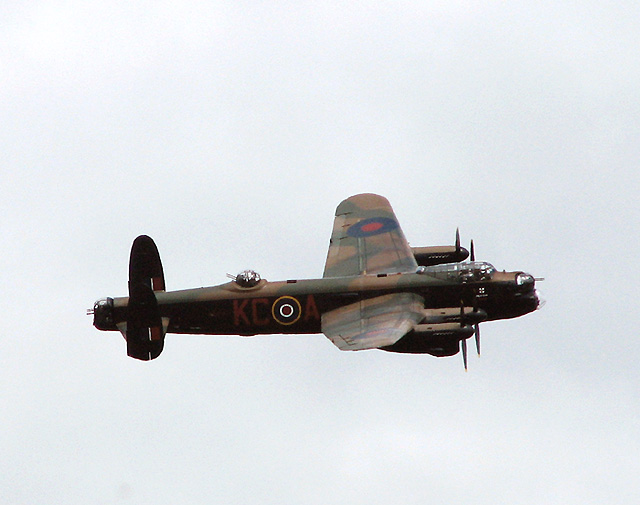
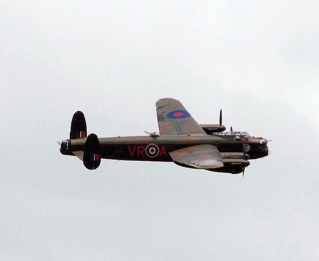
RAF Marham
Royal Air Force Marham, commonly abbreviated RAF Marham (IATA: KNF, ICAO: EGYM) is a Royal Air Force station and military airbase near the village of Marham...
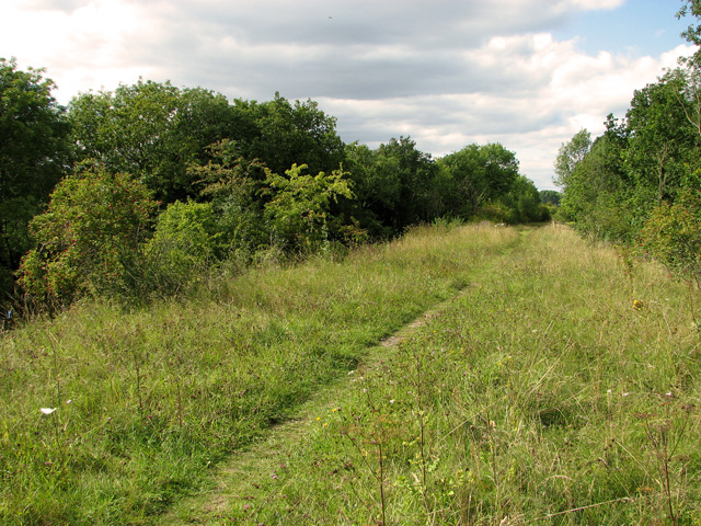
Narborough Railway Line
Narborough Railway Line or Narborough Railway Embankment is a 7.9-hectare (20-acre) biological Site of Special Scientific Interest south-east of King's...
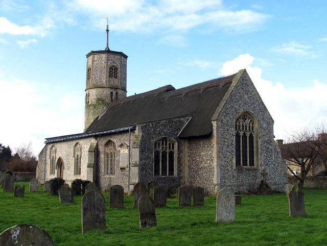
Beachamwell
Beachamwell is a village and civil parish in the Breckland district of Norfolk, England about 5 miles (8.0 km) south west of Swaffham and 10 miles (16...
Swaffham Raceway
Swaffham Raceway, originally Swaffham Stadium, is a stock car and banger racing circuit in Swaffham, Norfolk, which also hosted greyhound racing from 1987...
Nearby Amenities
Located within 500m of 52.645,0.58Have you been to Devil's Dyke?
Leave your review of Devil's Dyke below (or comments, questions and feedback).