Devil's Ditch

Heritage Site in Cambridgeshire

England

Devil's Ditch

Spectators back at the July Course, Newmarket Until a few weeks ago spectators were not allowed to attend race meetings due to government restrictions relating to the ongoing Covid-19 pandemic.
Spectators back at the July Course, Newmarket Credit: Richard Humphrey

Devil's Ditch is an ancient earthwork located in Cambridgeshire, England. It is a historic heritage site that spans over 7 miles in length and is believed to date back to the Iron Age, around 300 BC. The earthwork runs through the parishes of Reach, Burwell, and Wicken, forming a deep linear depression in the landscape.

The name Devil's Ditch is derived from local folklore, which suggests that it was built by the Devil himself in a single night. However, the true origins of this impressive earthwork are still debated among historians and archaeologists. Some theories propose that it served as a defensive fortification, while others suggest it had a ceremonial or territorial purpose.

The ditch, which is approximately 9 meters wide and 2 meters deep, is accompanied by a bank on its southern side. It cuts through fields and woodlands, creating an imposing feature in the otherwise flat landscape of the Cambridgeshire Fens. The earthwork is made up of chalk and clay, and its construction would have required significant human labor.

Today, Devil's Ditch is a popular destination for hikers, nature enthusiasts, and history buffs. The site offers picturesque views of the surrounding countryside and provides an opportunity to explore an ancient monument that has stood the test of time. Devil's Ditch serves as a reminder of the region's rich archaeological heritage and continues to intrigue visitors with its mysterious origins.

If you have any feedback on the listing, please let us know in the comments section below.

Devil's Ditch Images

Images are sourced within 2km of 52.237/0.35 or Grid Reference TL6062. Thanks to Geograph Open Source API. All images are credited.

Spectators back at the July Course, Newmarket Until a few weeks ago spectators were not allowed to attend race meetings due to government restrictions relating to the ongoing Covid-19 pandemic.
Spectators back at the July Course, Newmarket
Until a few weeks ago spectators were not allowed to attend race meetings due to government restrictions relating to the ongoing Covid-19 pandemic.
Leaving the parade ring at Newmarket's July Course
Trying to pick a winner - The July Course, Newmarket
A cloudburst at the July Course, Newmarket Having been sunny for most of the afternoon the weather changed dramatically just before the last race at 5.30pm and the downpour continued for about an hour
A cloudburst at the July Course, Newmarket
Having been sunny for most of the afternoon the weather changed dramatically just before the last race at 5.30pm and the downpour continued for about an hour
One way junction on Cambridge Hill, Newmarket
Grandstands at the Rowley Mile Racecourse near Newmarket
Newmarket Services, A14, east My take on the Geographer's pitstop on a cross country run from Ross-on-Wye to Suffolk. See also <a href="https://www.geograph.org.uk/photo/7024847">SP3086 : Corley Services, east/south</a>.
Newmarket Services, A14, east
My take on the Geographer's pitstop on a cross country run from Ross-on-Wye to Suffolk. See also SP3086 : Corley Services, east/south.
Newmarket Services, A14 west Geographer returning from Suffolk, see <a href="https://www.geograph.org.uk/photo/7026518">TL6163 : Newmarket Services, A14, east</a>.
Newmarket Services, A14 west
Geographer returning from Suffolk, see TL6163 : Newmarket Services, A14, east.
Newmarket A14 services
BP petrol station on the A14 BP petrol station on the A14 near Newmarket.
BP petrol station on the A14
BP petrol station on the A14 near Newmarket.
Services on the A14 A Starbucks and Greggs at services on the A14 near Newmarket.
Services on the A14
A Starbucks and Greggs at services on the A14 near Newmarket.
Petrol station on the A14 westbound, Newmarket Taken from the corresponding petrol station on the eastbound carriageway.
Petrol station on the A14 westbound, Newmarket
Taken from the corresponding petrol station on the eastbound carriageway.
A1304 Barbara Stradbroke Avenue Formerly the A11, leaving Newmarket towards Cambridge or London.
A1304 Barbara Stradbroke Avenue
Formerly the A11, leaving Newmarket towards Cambridge or London.
A1304 nearing roundabout west of Newmarket The roundabout has a statue of a prancing horse (and non-prancing handler). The roundabout is where the routes to Cambridge (A1303) and London (A1304) part company, it replaced a simple acute junction some way behind the camera.
A1304 nearing roundabout west of Newmarket
The roundabout has a statue of a prancing horse (and non-prancing handler). The roundabout is where the routes to Cambridge (A1303) and London (A1304) part company, it replaced a simple acute junction some way behind the camera.
A1304 towards A11 and London The former route of the A11 through Newmarket.
A1304 towards A11 and London
The former route of the A11 through Newmarket.
The Champagne Bar and Rose Terrace at the July Course, Newmarket In use for the first time, this dining and drinking area has been built over the winter in an extension of the refurbished "head-on" grandstand which is no longer accessible by racegoers with paddock and grandstand tickets. Tickets for the Rose Terrace start at £170, yet another venture by the Jockey Club to make more profit from their catering enterprises and reduce the facilities for the "man-on-the-street"
The Champagne Bar and Rose Terrace at the July Course, Newmarket
In use for the first time, this dining and drinking area has been built over the winter in an extension of the refurbished "head-on" grandstand which is no longer accessible by racegoers with paddock and grandstand tickets. Tickets for the Rose Terrace start at £170, yet another venture by the Jockey Club to make more profit from their catering enterprises and reduce the facilities for the "man-on-the-street"
Fly-tipping on the edge of Suffolk The footbridge carries the Devil's Dyke over the A14 (which is on the other side of the hedge on the left).

This is one of the westernmost points in Suffolk. The byway enters Cambridgeshire at the bridge and carries on to Swaffham Heath Road.

I took <a href="https://www.geograph.org.uk/photo/6605221">TL6063 : Devil's Dyke footbridge</a> the last time I was here, in September 2020.
Fly-tipping on the edge of Suffolk
The footbridge carries the Devil's Dyke over the A14 (which is on the other side of the hedge on the left). This is one of the westernmost points in Suffolk. The byway enters Cambridgeshire at the bridge and carries on to Swaffham Heath Road. I took TL6063 : Devil's Dyke footbridge the last time I was here, in September 2020.
The Home Outlet Stores "Everything for the home and garden" off Heath Road. It can be approached from Burwell or Exning.
The Home Outlet Stores
"Everything for the home and garden" off Heath Road. It can be approached from Burwell or Exning.
Show me another place!

Devil's Ditch is located at Grid Ref: TL6062 (Lat: 52.237, Lng: 0.35)

What 3 Words

///bossy.elbowing.fade. Near Exning, Suffolk

Nearby Locations

Devil's Ditch

Related Wikis

Devil's Dyke, Cambridgeshire

Devil's Dyke or Devil's Ditch is a linear earthen barrier, thought to be of Anglo-Saxon origin, in eastern Cambridgeshire and Suffolk. It runs for 11 kilometres...
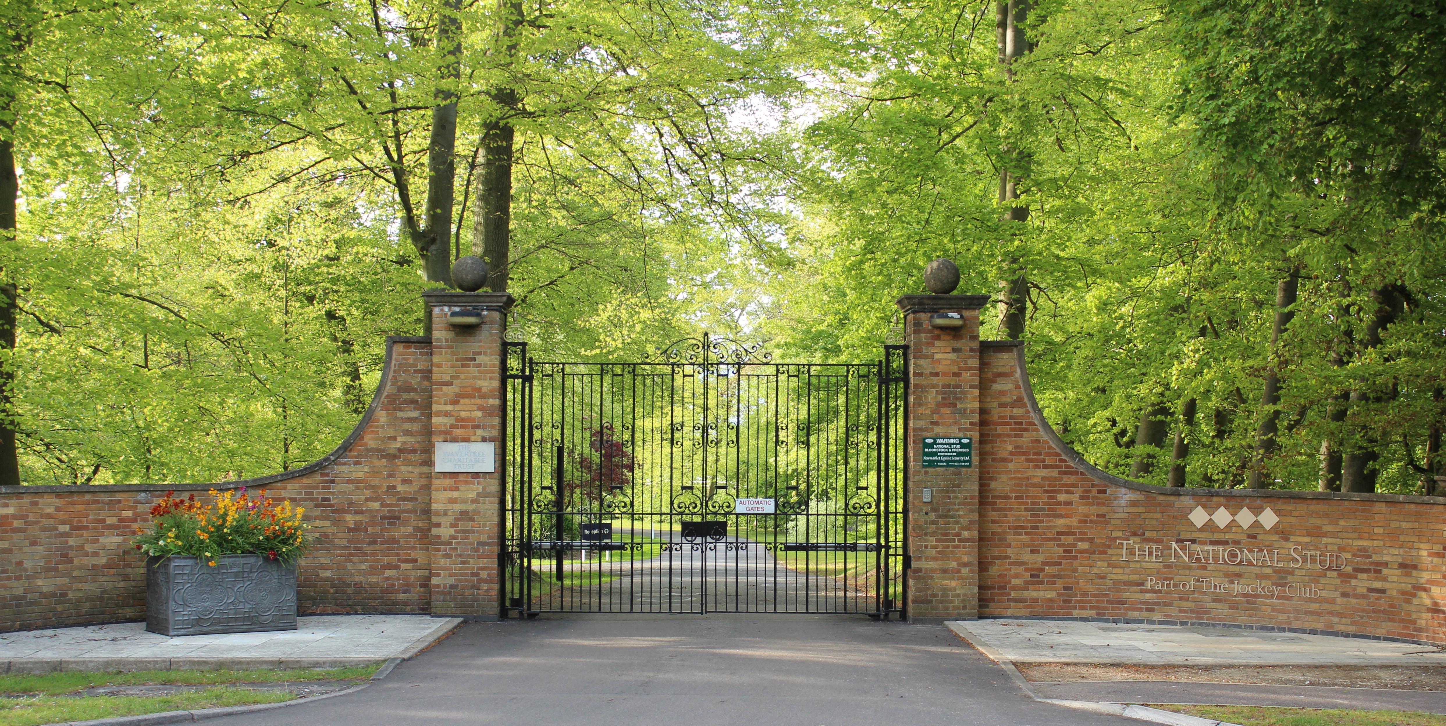
The National Stud

The National Stud is a United Kingdom Thoroughbred horse breeding farm located two miles from Newmarket. The Stud originated in 1916 as a result of a gift...

RAF Newmarket

RAF Newmarket was a Royal Air Force station located near Newmarket, Suffolk, England, near the border with Cambridgeshire. It was opened in 1939 and closed...

Newmarket Heath

Newmarket Heath is a 279.3-hectare-large (690-acre) biological Site of Special Scientific Interest in Newmarket in Suffolk. It covers most of Newmarket...

Nearby Amenities

Located within 500m of 52.237,0.35
Power: pole
Lat/Long: 52.234341/0.3448677
Newmarket Heath Airfield
Aeroway: aerodrome
Icao: EGSW
Note: Formerly RAF Newmarket :- https://en.wikipedia.org/wiki/RAF_Newmarket
Website: https://airportguide.com/airport/United_Kingdom/England/Newmarket-EGSW/runways.php
Lat/Long: 52.235553/0.3502319
The data included in this document is from www.openstreetmap.org. The data is made available under ODbL.

Have you been to Devil's Ditch?

Leave your review of Devil's Ditch below (or comments, questions and feedback).