Devil's Ditch
Heritage Site in Berkshire South Oxfordshire
England
Devil's Ditch

Devil's Ditch is a historic heritage site located in Berkshire, England. This ancient earthwork stretches for approximately 7 miles, running from the village of Streatley in the west to the town of Newbury in the east. It is believed to date back to the Iron Age, with some sections possibly older.
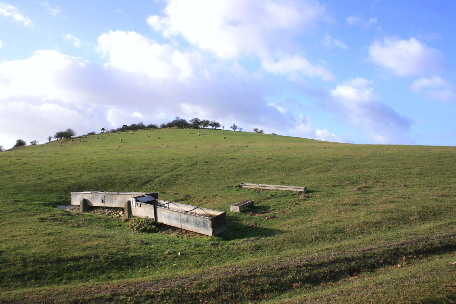
The Devil's Ditch consists of a deep and wide ditch, accompanied by a high bank on one side. The ditch itself is around 30 feet wide and up to 15 feet deep in some areas. The bank stands at approximately 20 feet high, creating an impressive defensive structure. The earthwork was strategically constructed across the Berkshire Downs, likely serving as a boundary or defensive fortification during ancient times.
The name "Devil's Ditch" has been attributed to various legends and folklore surrounding the site. One popular tale suggests that the ditch was dug by the devil himself, while others believe it got its name due to the challenging terrain it presented to those crossing it.
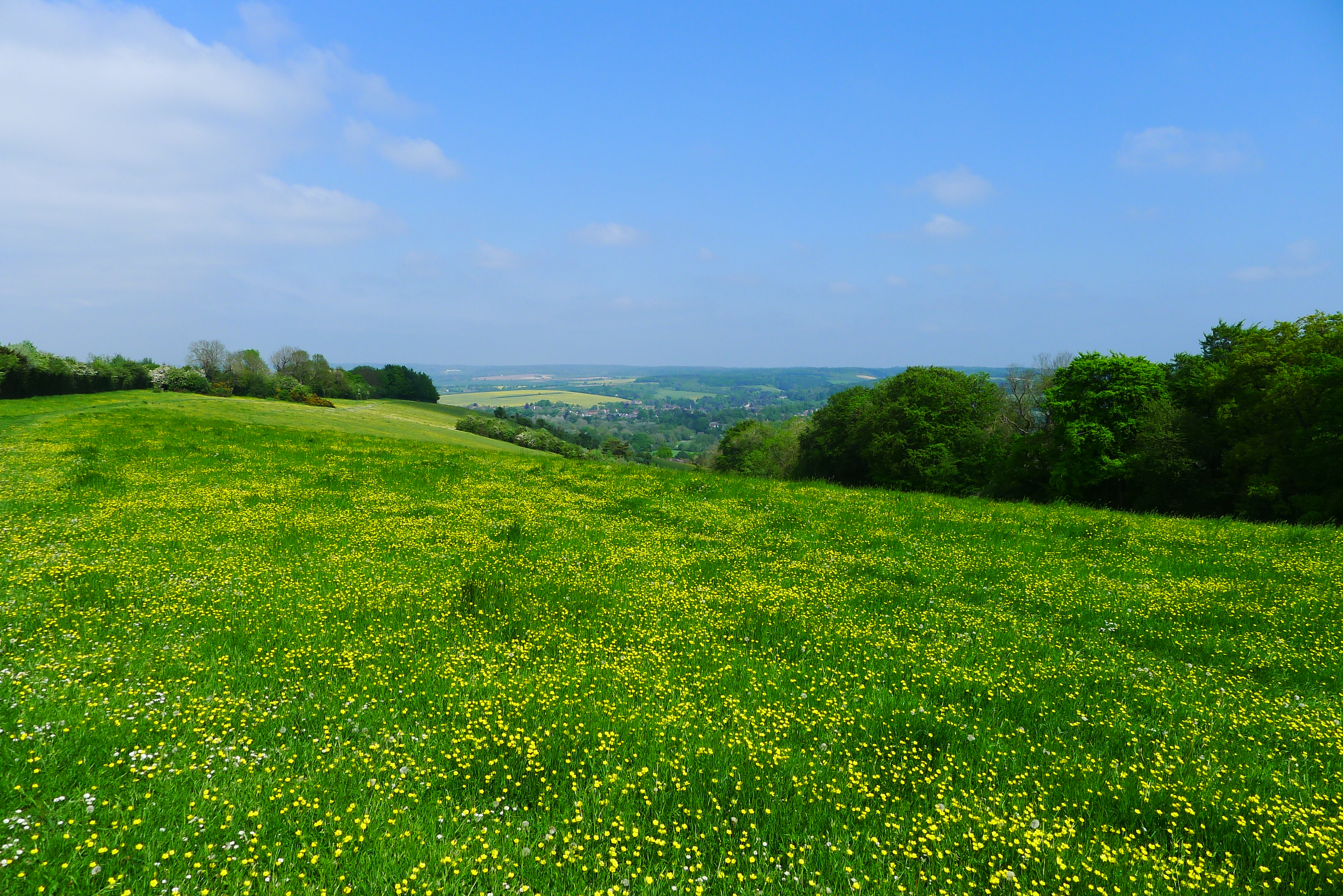
Today, Devil's Ditch serves as a popular destination for both history enthusiasts and outdoor enthusiasts. It offers scenic walking and hiking trails, allowing visitors to explore the landscape and observe the impressive earthwork. The site provides a unique opportunity to experience a piece of ancient history and appreciate the ingenuity of our ancestors.
If you have any feedback on the listing, please let us know in the comments section below.
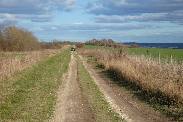
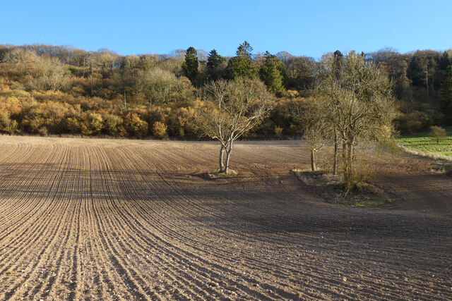
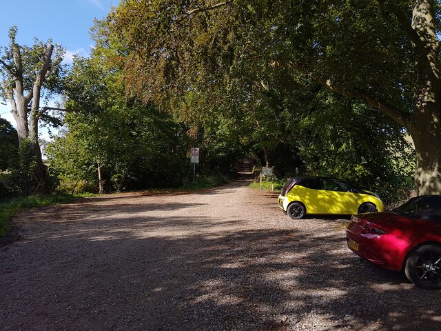
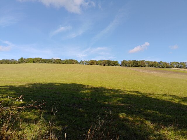
Devil's Ditch Images
Images are sourced within 2km of 51.538/-1.185 or Grid Reference SU5682. Thanks to Geograph Open Source API. All images are credited.


Devil's Ditch is located at Grid Ref: SU5682 (Lat: 51.538, Lng: -1.185)
Administrative County: Oxfordshire
District: South Oxfordshire
Police Authority: Thames Valley
What 3 Words
///plates.charted.engraving. Near Goring, Oxfordshire
Nearby Locations
Related Wikis
Moulsford Downs
Moulsford Downs is a 13.6-hectare (34-acre) biological Site of Special Scientific Interest north-west of Goring-on-Thames in Oxfordshire.This chalk grassland...

Streatley Warren
Streatley Warren is a 31.3-hectare (77-acre) biological Site of Special Scientific Interest west of Streatley in Berkshire. It is in the North Wessex Downs...

Goring & Streatley Golf Club
Goring & Streatley Golf Club is a golf course in the village of Streatley, in the English county of Berkshire. It takes its name partly from that village...

Battle of Ashdown
The Battle of Ashdown was a West Saxon victory over a Danish Viking army on about 8 January 871. The location of Ashdown is not known, but may be Kingstanding...

Lardon Chase, the Holies and Lough Down
Lardon Chase, the Holies and Lough Down is a National Trust countryside property in the English county of Berkshire. It is situated on the edge of the...

Aston Upthorpe Downs
Aston Upthorpe Downs is a 38.5-hectare (95-acre) biological Site of Special Scientific Interest south of Aston Upthorpe in Oxfordshire. It is a Nature...

Genetic Studios
Genetic Studios (also known as Genetic Sound) was a recording studio in Streatley, England. == History == Genetic was established in 1980 by Martin Rushent...
Lardon Chase
Lardon Chase is a 14.9-hectare (37-acre) biological Site of Special Scientific Interest in Streatley in Berkshire. It is in the North Wessex Downs, which...
Have you been to Devil's Ditch?
Leave your review of Devil's Ditch below (or comments, questions and feedback).