Deer Dyke

Heritage Site in Kincardineshire

Scotland

Deer Dyke

Road to the Catterin' Bridge A nice walking path up the side of the burn
Road to the Catterin' Bridge Credit: Ralph Greig

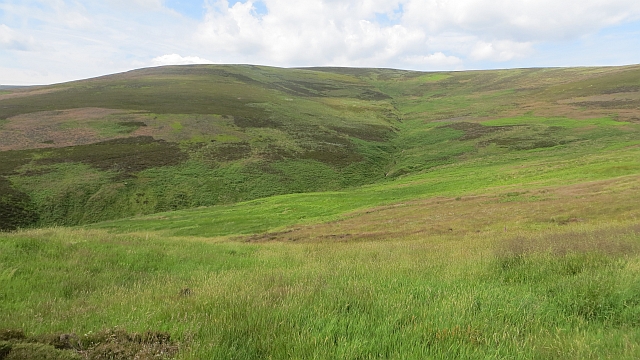
Deer Dyke, located in Kincardineshire, Scotland, is a significant heritage site that holds historical and cultural significance. The dyke, a type of ancient earthwork, is believed to have been constructed during the Iron Age, around 2,000 years ago. It stretches for approximately 4 kilometers across the gently sloping landscape.

Deer Dyke is a testament to the engineering skills of the early inhabitants of the region. It consists of a series of ditches and banks, carefully constructed using local materials such as earth and stone. These earthworks were designed to serve various purposes, including territorial demarcation, livestock management, and defense against potential invaders.

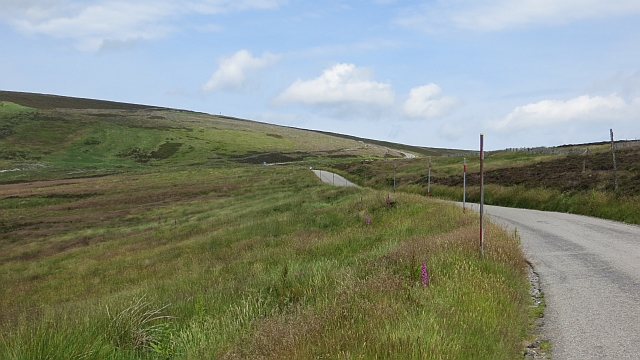
The site is surrounded by picturesque scenery, with panoramic views of the countryside and the North Sea visible from various points along the dyke. It is also home to diverse flora and fauna, making it an attractive spot for nature enthusiasts.

Deer Dyke has been recognized as a protected heritage site by Historic Environment Scotland. Its historical importance attracts archaeologists who have conducted excavations in the area, unearthing artifacts and shedding light on the lives of the people who once inhabited the region. The site also serves as an educational resource, offering opportunities for visitors to learn about the Iron Age and the ancient civilizations that thrived in this part of Scotland.

Visitors to Deer Dyke can explore the site via well-maintained footpaths that allow them to experience the scale and craftsmanship of the earthworks up close. Interpretive panels provide information about the history and significance of the dyke, offering visitors a deeper understanding of its cultural value.

If you have any feedback on the listing, please let us know in the comments section below.
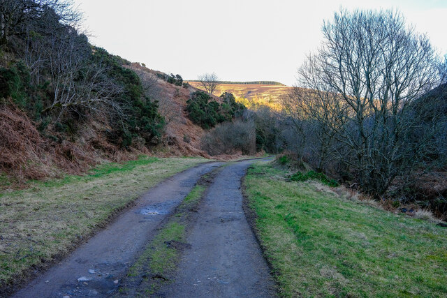
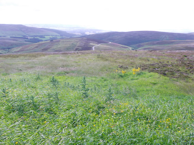
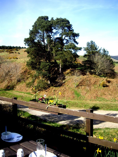
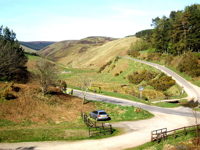
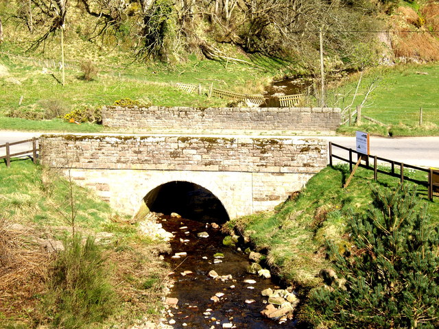
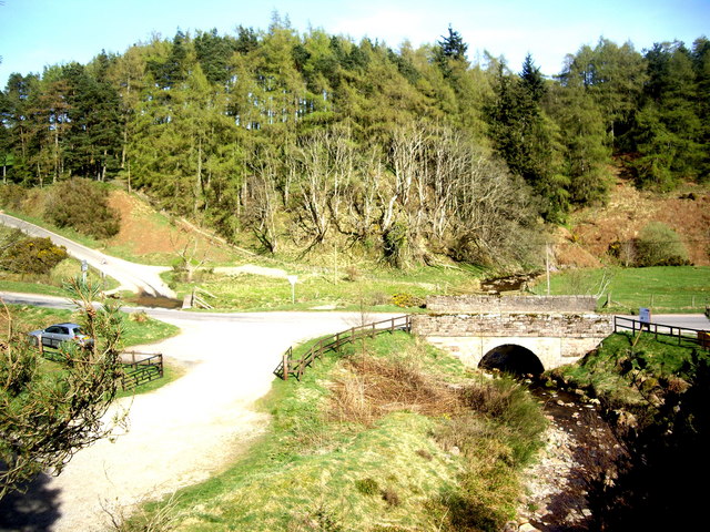
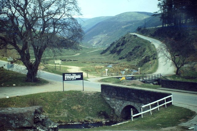
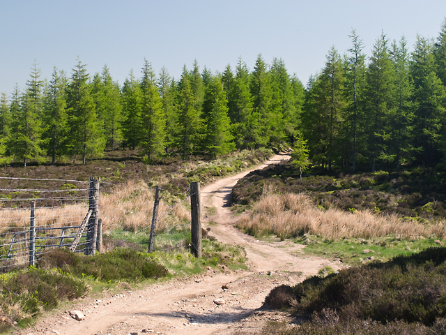
Deer Dyke Images

Images are sourced within 2km of 56.897/-2.583 or Grid Reference NO6478. Thanks to Geograph Open Source API. All images are credited.

Road to the Catterin' Bridge A nice walking path up the side of the burn
Road to the Catterin' Bridge
A nice walking path up the side of the burn
View from Cairn o' Mount With a very distant view towards the sea.
It was hard to tell: the exposed location was so windy it was hard to stand upright.
View from Cairn o' Mount
With a very distant view towards the sea. It was hard to tell: the exposed location was so windy it was hard to stand upright.
Road below Cairn O' Mount The B974 Fettercairn to Banchory road.
Road below Cairn O' Mount
The B974 Fettercairn to Banchory road.
Boulders in the car park At the Cairn O'Mount viewpoint on the Old Military Road.
Boulders in the car park
At the Cairn O'Mount viewpoint on the Old Military Road.
The B974 during Cairn O' Mount Challenge The 80 mile route has one of the steeper hill climbs in the UK
The B974 during Cairn O' Mount Challenge
The 80 mile route has one of the steeper hill climbs in the UK
B974 below Cairn O'Mount carpark and viewpoint Descent to Clatterin Brig and Fettercairn.
B974 below Cairn O'Mount carpark and viewpoint
Descent to Clatterin Brig and Fettercairn.
View south from the lay-by at Cairn O' Mount
Sunset on the Cairn O' Mount road
Pine trees By the Clatterin' Brig restaurant
Pine trees
By the Clatterin' Brig restaurant
Snow gates on Cairn O'Mount road Seen from the Clatterin' Brig restaurant.
Snow gates on Cairn O'Mount road
Seen from the Clatterin' Brig restaurant.
Bridge over the Slack Burn Carrying the Old Military Road between Fettercairn and Feughside over the Cairn O'Mount.
Bridge over the Slack Burn
Carrying the Old Military Road between Fettercairn and Feughside over the Cairn O'Mount.
A 'major' road junction in the hills Access to Glensaugh from the old military road at Clatterin' Brig.
A 'major' road junction in the hills
Access to Glensaugh from the old military road at Clatterin' Brig.
B974 between Gateside and Clatterin Brig
Clatterin' Brig Stone arched bridge across the Devilly burn and minor road junction at the southern foot of the Cairn o' Mount road.
Clatterin' Brig
Stone arched bridge across the Devilly burn and minor road junction at the southern foot of the Cairn o' Mount road.
Track on Brunt Hill A track to the north of Brunt Hill - this leads onto the hillside in the vicinity of Hound Hillock 2km distant.
Track on Brunt Hill
A track to the north of Brunt Hill - this leads onto the hillside in the vicinity of Hound Hillock 2km distant.
Back Burn of Arnbarrow
Moorland, Cairn o' Mount The steep, southern side of the pass on the Highland Boundary Fault, drained here by the Stag Burn.
Moorland, Cairn o' Mount
The steep, southern side of the pass on the Highland Boundary Fault, drained here by the Stag Burn.
Cairn o' Mount The steeper southern side of the pass.
Cairn o' Mount
The steeper southern side of the pass.
Show me another place!

Deer Dyke is located at Grid Ref: NO6478 (Lat: 56.897, Lng: -2.583)

Unitary Authority: Aberdeenshire

Police Authority: North East

What 3 Words

///outsmart.fried.bets. Near Laurencekirk, Aberdeenshire

Related Wikis

Cairn O' Mounth

Cairn O' Mounth/Cairn O' Mount (Scottish Gaelic: Càrn Mhon) is a high mountain pass in Aberdeenshire, Scotland. The place name is a survival of the ancient...

Fasque House

Fasque, also known as Fasque House or Fasque Castle, is a mansion in Aberdeenshire, Scotland, situated near the village of Fettercairn, in the former county...

Kincardine, Aberdeenshire

Kincardine was a burgh in Scotland, near the present-day village of Fettercairn. It served as the first county town of Kincardineshire. The settlement...

Fettercairn distillery

Fettercairn distillery is a whisky distillery in Fettercairn. Situated under the Grampian foothills in the Howe of Mearns, Fettercairn town’s name is...

Nearby Amenities

Located within 500m of 56.897,-2.583
Ford: yes
Lat/Long: 56.8975272/-2.5756293
Ford: yes
Lat/Long: 56.897147/-2.5783578
Glen Muchrae
Place: locality
Lat/Long: 56.8961443/-2.5863153
Ford: yes
Lat/Long: 56.896987/-2.5811726
The data included in this document is from www.openstreetmap.org. The data is made available under ODbL.

Have you been to Deer Dyke?

Leave your review of Deer Dyke below (or comments, questions and feedback).