Glen Muchrae

Valley in Kincardineshire

Scotland

Glen Muchrae

Road to the Catterin' Bridge A nice walking path up the side of the burn
Road to the Catterin' Bridge Credit: Ralph Greig

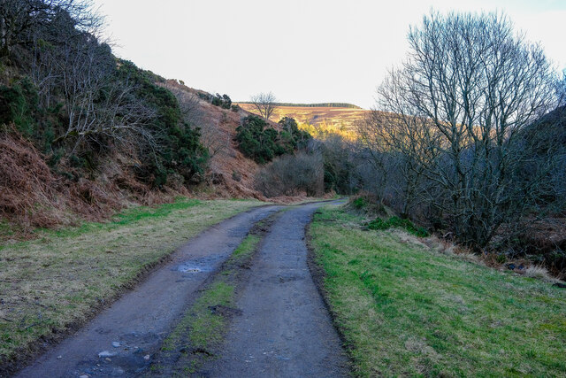
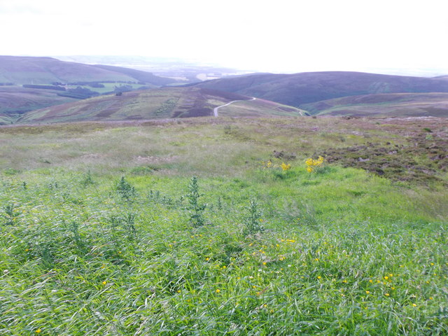
Glen Muchrae is a picturesque valley located in Kincardineshire, Scotland. Nestled between the ancient Cairngorms National Park and the stunning River Dee, this area is renowned for its breathtaking natural beauty and tranquil atmosphere.

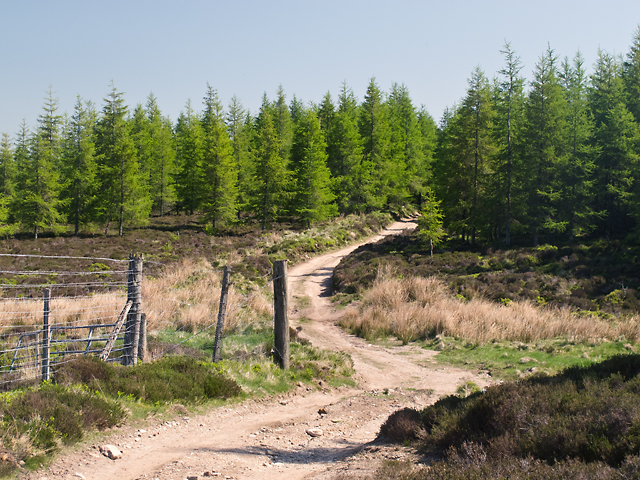
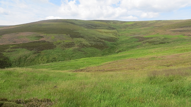
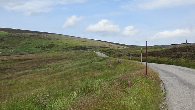
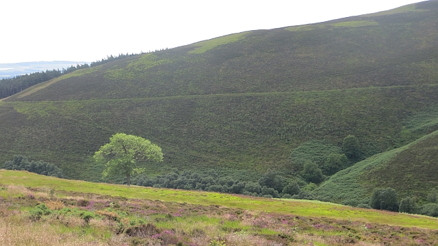
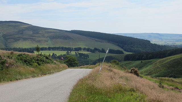
The valley is characterized by its lush greenery, rolling hills, and meandering streams, making it a haven for outdoor enthusiasts and nature lovers. Hikers and walkers are drawn to the area, as it offers a variety of scenic trails and paths that wind through the valley, providing stunning views of the surrounding landscape.

Glen Muchrae is home to diverse wildlife, including red deer, otters, and various bird species, making it a prime spot for wildlife spotting and birdwatching. The valley's rich flora and fauna are preserved and protected by the local authorities, adding to its ecological significance.

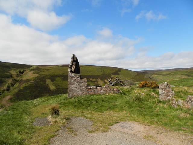
The valley is also steeped in history, with several ancient ruins and archaeological sites scattered throughout the area. These remnants of the past offer a glimpse into the valley's past and attract history enthusiasts and researchers.

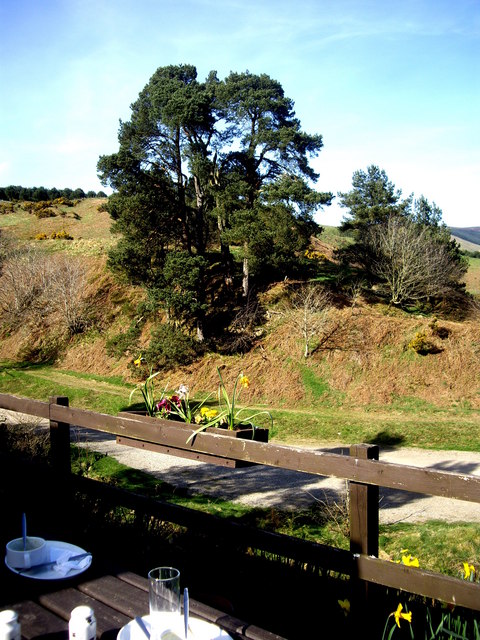
For those seeking a peaceful retreat, Glen Muchrae offers a range of accommodation options, including charming cottages and bed and breakfasts that allow visitors to immerse themselves in the tranquility of the valley.

Overall, Glen Muchrae in Kincardineshire is a hidden gem, offering a harmonious blend of natural beauty, outdoor activities, and historical significance. It is a place where visitors can escape the hustle and bustle of modern life and immerse themselves in the serenity of Scotland's stunning countryside.

If you have any feedback on the listing, please let us know in the comments section below.

Glen Muchrae Images

Images are sourced within 2km of 56.896304/-2.5849304 or Grid Reference NO6478. Thanks to Geograph Open Source API. All images are credited.

Road to the Catterin' Bridge A nice walking path up the side of the burn
Road to the Catterin' Bridge
A nice walking path up the side of the burn
View from Cairn o' Mount With a very distant view towards the sea.
It was hard to tell: the exposed location was so windy it was hard to stand upright.
View from Cairn o' Mount
With a very distant view towards the sea. It was hard to tell: the exposed location was so windy it was hard to stand upright.
B974 below Cairn O'Mount carpark and viewpoint Descent to Clatterin Brig and Fettercairn.
B974 below Cairn O'Mount carpark and viewpoint
Descent to Clatterin Brig and Fettercairn.
View south from the lay-by at Cairn O' Mount
Sunset on the Cairn O' Mount road
Pine trees By the Clatterin' Brig restaurant
Pine trees
By the Clatterin' Brig restaurant
Track on Brunt Hill A track to the north of Brunt Hill - this leads onto the hillside in the vicinity of Hound Hillock 2km distant.
Track on Brunt Hill
A track to the north of Brunt Hill - this leads onto the hillside in the vicinity of Hound Hillock 2km distant.
Back Burn of Arnbarrow
Moorland, Cairn o' Mount The steep, southern side of the pass on the Highland Boundary Fault, drained here by the Stag Burn.
Moorland, Cairn o' Mount
The steep, southern side of the pass on the Highland Boundary Fault, drained here by the Stag Burn.
Cairn o' Mount The steeper southern side of the pass.
Cairn o' Mount
The steeper southern side of the pass.
Knowegreens Burn Steep sided V shaped valley beneath the Cairn o' Mount road.
Knowegreens Burn
Steep sided V shaped valley beneath the Cairn o' Mount road.
Cairn o' Mount road The steep southern side of the pass.
Cairn o' Mount road
The steep southern side of the pass.
A view SW up Arnbarrow Hill From by the ruined building on the Old Military Road (B974) up Redstone Hill.
A view SW up Arnbarrow Hill
From by the ruined building on the Old Military Road (B974) up Redstone Hill.
Ruin at roadside of Cairn O' Mount Road See also<a href="https://www.geograph.org.uk/photo/9172">NO6578 : Ruin on the Cairn o Mount road</a> The tree from that time has died back
Ruin at roadside of Cairn O' Mount Road
See alsoNO6578 : Ruin on the Cairn o Mount road The tree from that time has died back
Track leading to Redstone Hill
Moorland above Knowegreens Burn
Clatterin Stairway The rear entrance to the Clatterin Brig restaurant from the lower car park via a stairway.
Clatterin Stairway
The rear entrance to the Clatterin Brig restaurant from the lower car park via a stairway.
Green Knowe Bridge A  footbridge over the Green Knowe Burn by the Clatterin Brig restaurant.
Green Knowe Bridge
A footbridge over the Green Knowe Burn by the Clatterin Brig restaurant.
Show me another place!

Glen Muchrae is located at Grid Ref: NO6478 (Lat: 56.896304, Lng: -2.5849304)

Unitary Authority: Aberdeenshire

Police Authority: North East

What 3 Words

///revival.future.windmill. Near Laurencekirk, Aberdeenshire

Related Wikis

Cairn O' Mounth

Cairn O' Mounth/Cairn O' Mount (Scottish Gaelic: Càrn Mhon) is a high mountain pass in Aberdeenshire, Scotland. The place name is a survival of the ancient...

Fasque House

Fasque, also known as Fasque House or Fasque Castle, is a mansion in Aberdeenshire, Scotland, situated near the village of Fettercairn, in the former county...

Kincardine, Aberdeenshire

Kincardine was a burgh in Scotland, near the present-day village of Fettercairn. It served as the first county town of Kincardineshire. The settlement...

Fettercairn distillery

Fettercairn distillery is a whisky distillery in Fettercairn. Situated under the Grampian foothills in the Howe of Mearns, Fettercairn town’s name is...

Nearby Amenities

Located within 500m of 56.896304,-2.5849304
Ford: yes
Lat/Long: 56.897147/-2.5783578
Glen Muchrae
Place: locality
Lat/Long: 56.8961443/-2.5863153
Ford: yes
Lat/Long: 56.896987/-2.5811726
Ford: yes
Lat/Long: 56.8991385/-2.5906715
The data included in this document is from www.openstreetmap.org. The data is made available under ODbL.

Have you been to Glen Muchrae?

Leave your review of Glen Muchrae below (or comments, questions and feedback).