Cruivie Castle
Heritage Site in Fife
Scotland
Cruivie Castle

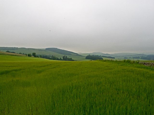
Cruivie Castle, located in Fife, Scotland, is a historic heritage site that holds great significance in the region. This fortified tower house, also known as Cruevie Castle, is nestled in a picturesque setting, surrounded by rolling hills and lush green fields.
Dating back to the 16th century, Cruivie Castle is an excellent example of Scottish tower house architecture of that period. It was originally built as a stronghold by the Lundy family, who were prominent landowners in the area. The castle served as a defensive structure, protecting its inhabitants during turbulent times.
The castle features a rectangular plan with four storeys, including a basement and an attic. The walls are constructed of rough-hewn stone, giving it a sturdy and imposing appearance. The entrance is located on the ground floor, leading to a spiral staircase that provides access to the upper levels.
Over the centuries, Cruivie Castle has undergone various modifications and additions, reflecting the changing needs and tastes of its occupants. The interior is adorned with original architectural features, such as a large fireplace and ornate plasterwork, adding to the castle's charm and historical value.
Today, Cruivie Castle stands as a testament to Scotland's rich architectural heritage. Although it is not open to the public, visitors can still admire its exterior and marvel at its impressive structure. The castle's location amidst the stunning Fife countryside makes it a popular spot for photography and exploration, allowing visitors to immerse themselves in Scotland's history and natural beauty.
If you have any feedback on the listing, please let us know in the comments section below.
Cruivie Castle Images
Images are sourced within 2km of 56.392/-2.947 or Grid Reference NO4122. Thanks to Geograph Open Source API. All images are credited.


Cruivie Castle is located at Grid Ref: NO4122 (Lat: 56.392, Lng: -2.947)
Unitary Authority: Fife
Police Authority: Fife
What 3 Words
///otters.letter.superbly. Near Balmullo, Fife
Nearby Locations
Related Wikis

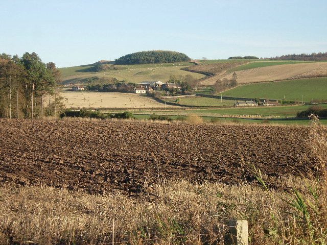
Lucklawhill
Lucklawhill is a hamlet one mile (1.6 km) northwest of the village of Balmullo in Fife, Scotland. Historically, Lucklawhill belonged to the Logie parish...
St Fort railway station
St. Fort railway station served the civil parish of Forgan, Fife, Scotland from 1878 to 1965 on the Tay Bridge Line and Newburgh and North Fife Railway...
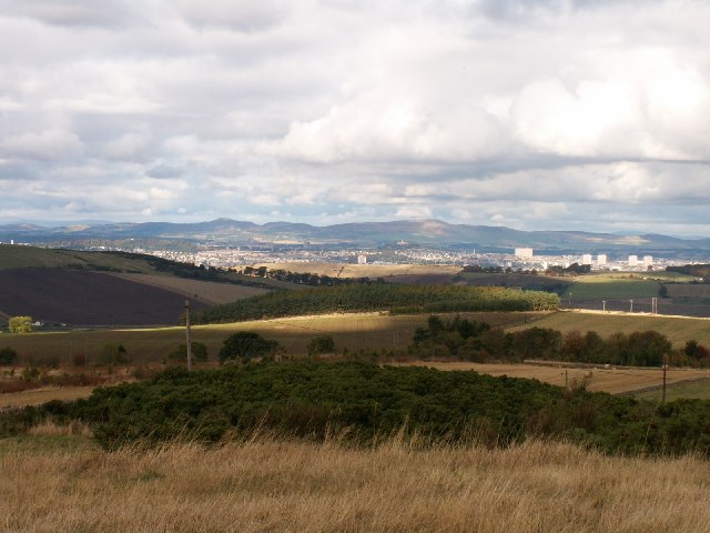
Balmullo
Balmullo (Gaelic: Baile Mhullaich) is a village in Fife, Scotland. It is 7 miles (11 km) from the town of St Andrews and near to the villages of Lucklawhill...

St Fort
St Fort (, , or ) is a rural area, largely in Forgan parish, Fife. The current form of the name is late eighteenth century, the origin being a sandy ford...
Logie, Fife
Logie (Scottish Gaelic: An Lagan) is a parish and village in east Fife, Scotland, 5 miles north-east of Cupar.The parish is bounded on the east by the...
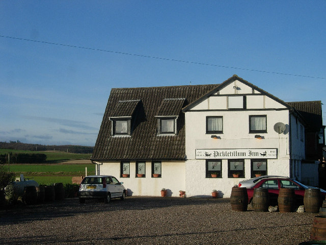
Pickletillum
Pickletillem or Pickletillum is a hamlet situated in Fife, Scotland. It is 9 miles (14 km) from the town of St. Andrews and 5.9 miles (9.5 km) from the...
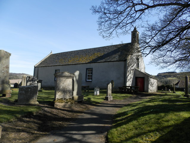
Kilmany Parish Church
Kilmany Parish Church is an ancient church building in Kilmany, Fife, Scotland. Dating to 1768, it is Category A listed.The church's pulpit was re-seated...

Kilmany
Kilmany (Scottish Gaelic: Cille Mheinidh) is a village and parish in Fife, Scotland. It is located on the A92 between Auchtermuchty and the Tay Road Bridge...
Nearby Amenities
Located within 500m of 56.392,-2.947Have you been to Cruivie Castle?
Leave your review of Cruivie Castle below (or comments, questions and feedback).