Cross Dyke
Heritage Site in Shropshire
England
Cross Dyke
Cross Dyke is a prehistoric earthwork located in the county of Shropshire, England. It is a scheduled ancient monument and is considered to be of significant historical importance. The site consists of a long, linear bank and ditch running across a ridge, measuring approximately 300 meters in length.
Dating back to the Iron Age, Cross Dyke is believed to have been constructed as a defensive boundary, possibly to protect a settlement or control movement along a key route. The earthwork is well-preserved, with the bank standing up to 2 meters high in some places.
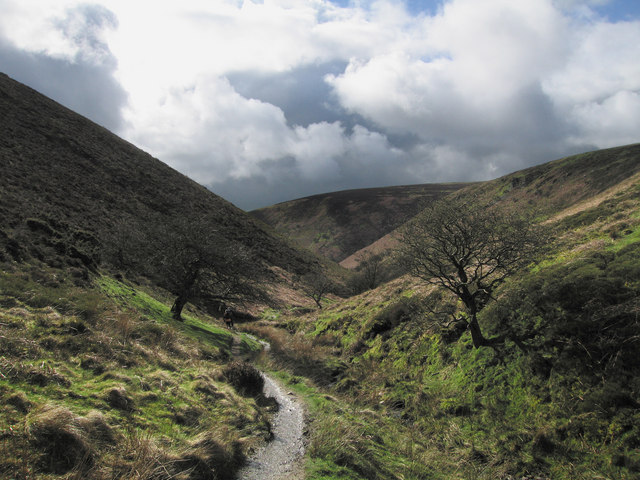
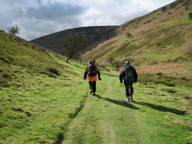
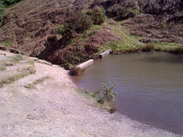
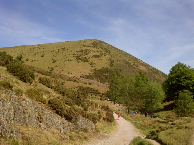
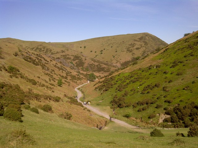
The site is situated in a rural area with panoramic views of the surrounding landscape, adding to its archaeological and aesthetic value. It is a popular destination for hikers, historians, and nature enthusiasts who appreciate the ancient history and natural beauty of the area.
Visitors to Cross Dyke can explore the earthwork on foot and take in the peaceful atmosphere of the countryside. Interpretive signs provide information about the site's history and significance, making it a fascinating destination for those interested in ancient civilizations and landscape archaeology.
If you have any feedback on the listing, please let us know in the comments section below.
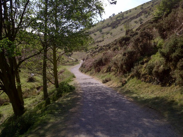
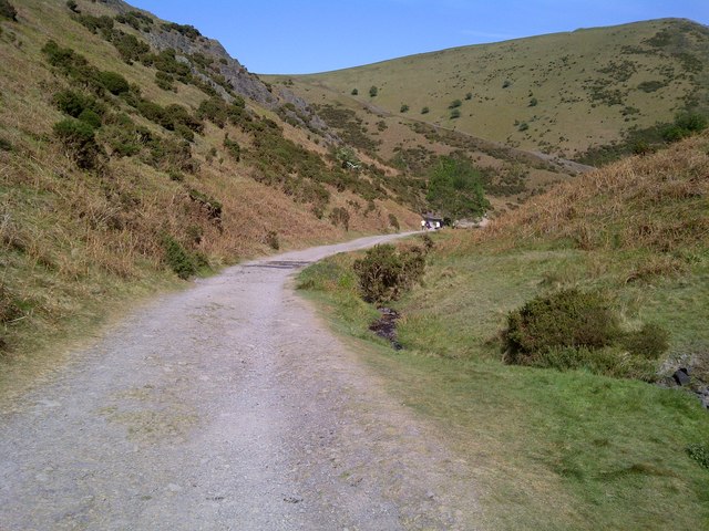
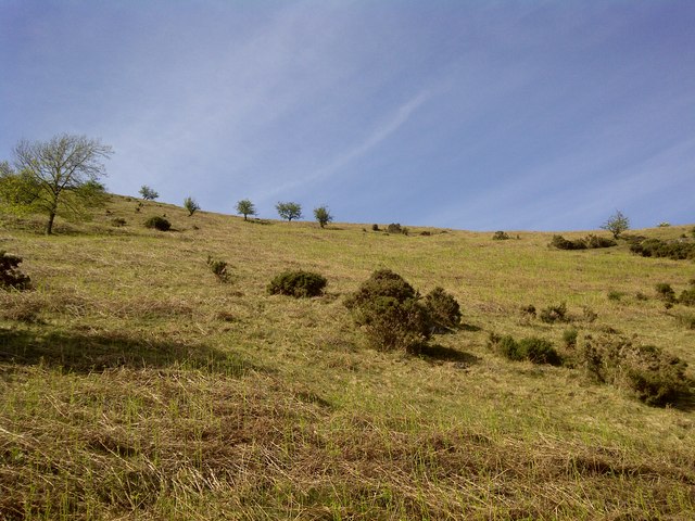
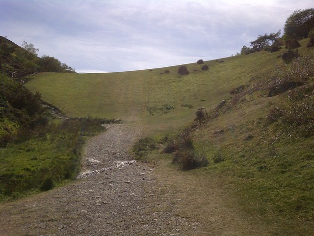
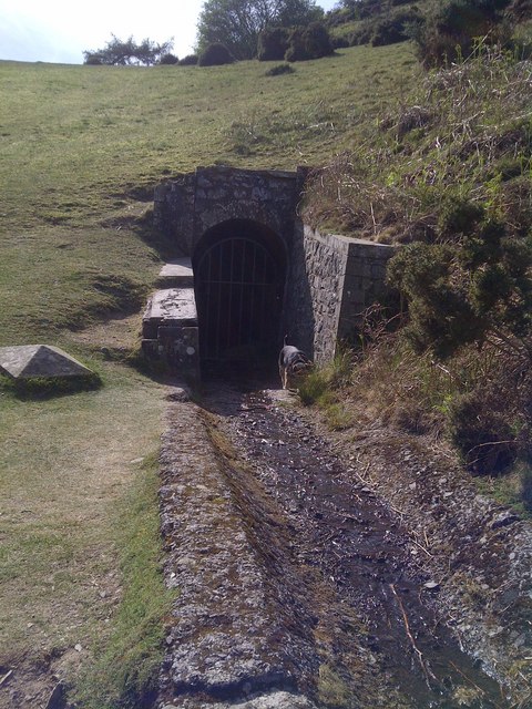
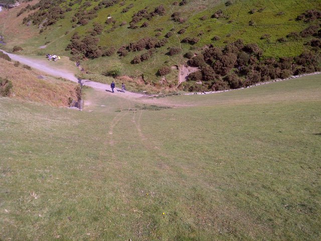
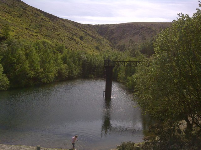
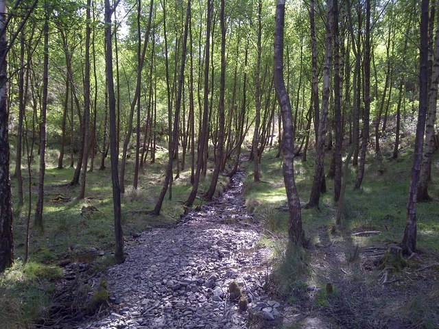
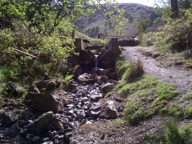
Cross Dyke Images
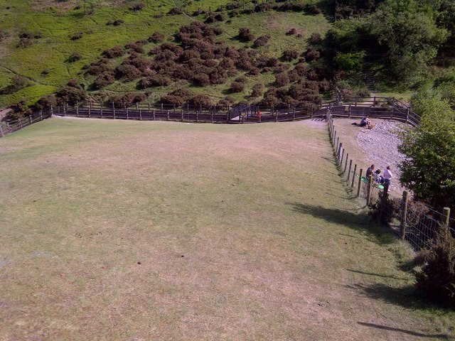
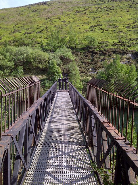
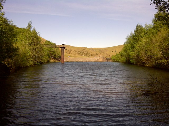
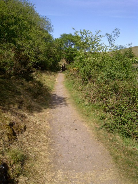
Images are sourced within 2km of 52.545/-2.833 or Grid Reference SO4394. Thanks to Geograph Open Source API. All images are credited.
Cross Dyke is located at Grid Ref: SO4394 (Lat: 52.545, Lng: -2.833)
Unitary Authority: Shropshire
Police Authority: West Mercia
What 3 Words
///enabling.cubic.encoder. Near Church Stretton, Shropshire
Nearby Locations
Related Wikis

Long Mynd
The Long Mynd (Welsh: Cefn Hirfynydd) is a heath and moorland plateau that forms part of the Shropshire Hills in Shropshire, England. The high ground,...

St Laurence's Church, Church Stretton
St Laurence's Church is in Church Street, Church Stretton, Shropshire, England. It is an active Anglican parish church in the deanery of Condover, the...

Church Stretton
Church Stretton is a market town and civil parish in Shropshire, England, 13 miles (21 km) south of Shrewsbury and 15 miles (24 km) north of Ludlow. The...

Church Stretton School
Church Stretton School is an 11–16 mixed secondary school with academy status in Church Stretton, Shropshire, England.Previously a community school administered...
Nearby Amenities
Located within 500m of 52.545,-2.833Have you been to Cross Dyke?
Leave your review of Cross Dyke below (or comments, questions and feedback).