Crathes Castle
Heritage Site in Kincardineshire
Scotland
Crathes Castle
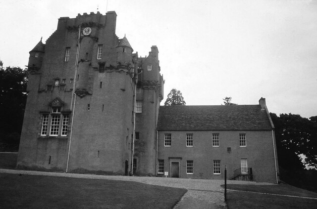
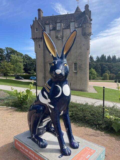
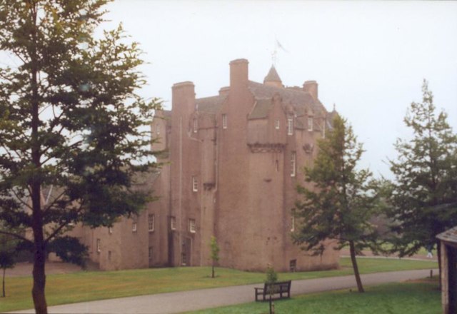
Crathes Castle is a magnificent 16th-century tower house located in Kincardineshire, Scotland. It is a well-preserved heritage site that offers visitors a glimpse into the rich history of the region. The castle was originally built in the 16th century by the Burnett family and has remained in their ownership for over 400 years.
The castle's architecture is a stunning example of Scottish Baronial style, characterized by its turreted towers, crow-stepped gables, and intricate stone carvings. The interior of the castle is equally impressive, with beautifully decorated rooms showcasing intricate woodwork, painted ceilings, and ornate furniture. Notable features include the Great Hall, which boasts an impressive fireplace and a collection of family portraits, and the Drawing Room, adorned with 17th-century tapestries.
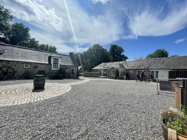
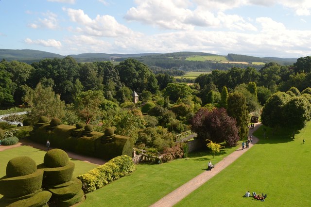
Surrounding the castle is a magnificent garden that spans over four acres. The garden offers a delightful mix of formal and informal planting, including vibrant flower beds, manicured lawns, and a picturesque walled garden. Visitors can explore the various themed areas within the garden, such as the rose garden, the herbaceous border, and the enchanting woodland walks.
Crathes Castle also holds historical significance as it served as a stronghold during the Scottish Reformation and the Jacobite rebellions. The castle's rich history can be further explored through its extensive collection of artifacts and historical displays.
Today, Crathes Castle is open to the public, allowing visitors to immerse themselves in its fascinating history, explore its stunning architecture, and enjoy the tranquility of its picturesque surroundings.
If you have any feedback on the listing, please let us know in the comments section below.
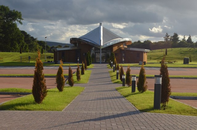
Crathes Castle Images
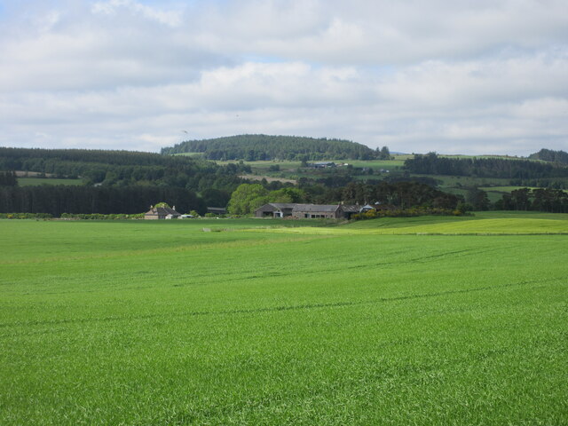
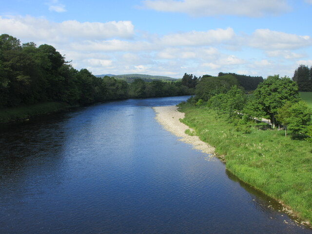
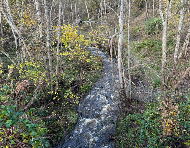
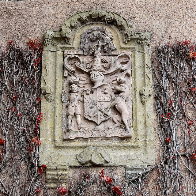
Images are sourced within 2km of 57.058/-2.437 or Grid Reference NO7396. Thanks to Geograph Open Source API. All images are credited.


Crathes Castle is located at Grid Ref: NO7396 (Lat: 57.058, Lng: -2.437)
Unitary Authority: Aberdeenshire
Police Authority: North East
What 3 Words
///assures.slim.seashell. Near Banchory, Aberdeenshire
Nearby Locations
Related Wikis

Crathes Castle
Crathes Castle (pronounced KRATH-iss) is a castle, built in the 16th century, near Banchory in Aberdeenshire, Scotland. It is in the historic county of...

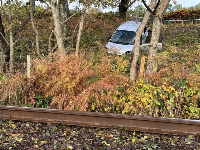
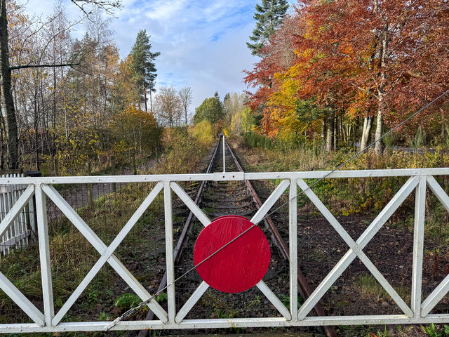
Milton of Crathes railway station
Milton of Crathes railway station is located at Milton of Crathes, three miles east of Banchory, Royal Deeside, Aberdeenshire, Scotland, United Kingdom...

Royal Deeside Railway
The Royal Deeside Railway is a Scottish heritage railway located at Milton of Crathes railway station on a part of the original Deeside Railway. ��2�...
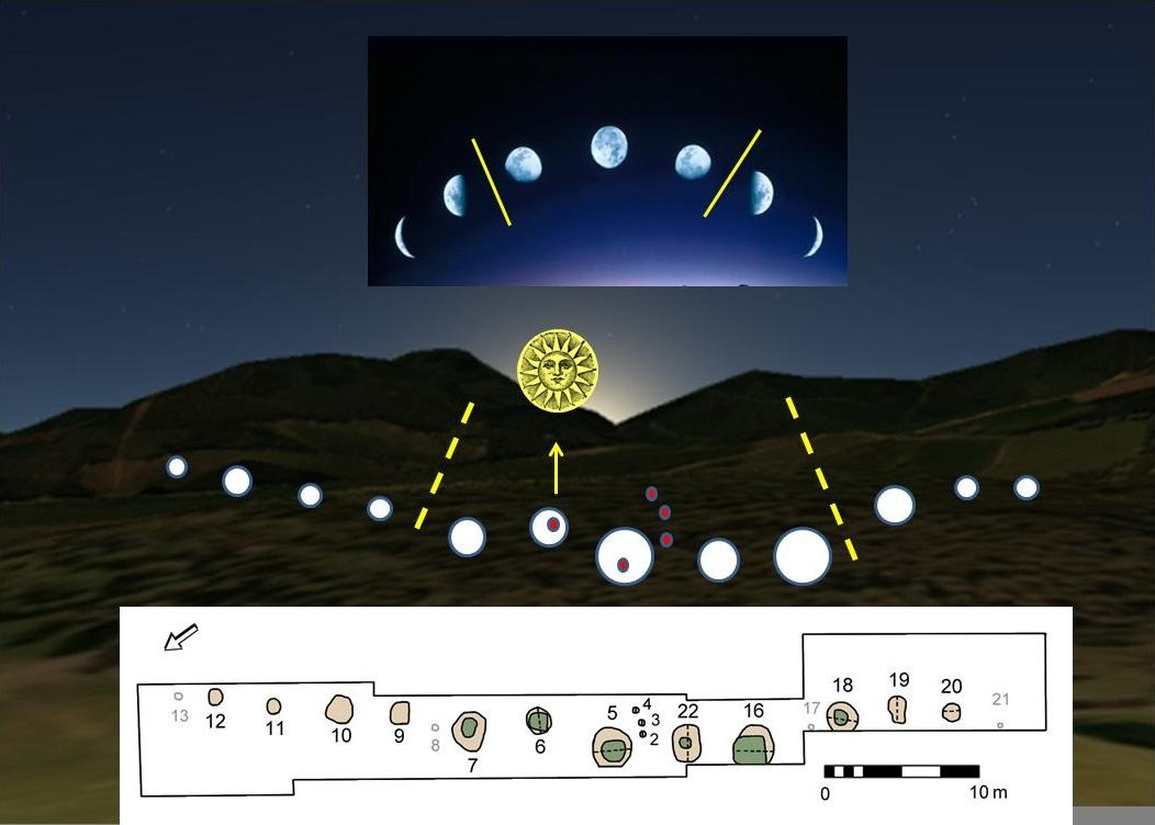
Warren Field
Warren Field is the location of a mesolithic calendar monument built about 8,000 BCE. It includes 12 pits believed to correlate with phases of the Moon...
Nearby Amenities
Located within 500m of 57.058,-2.437Have you been to Crathes Castle?
Leave your review of Crathes Castle below (or comments, questions and feedback).