Couston Castle

Heritage Site in Fife

Scotland

Couston Castle

Junction on A921 at Dalgety Bay
Junction on A921 at Dalgety Bay Credit: Alpin Stewart

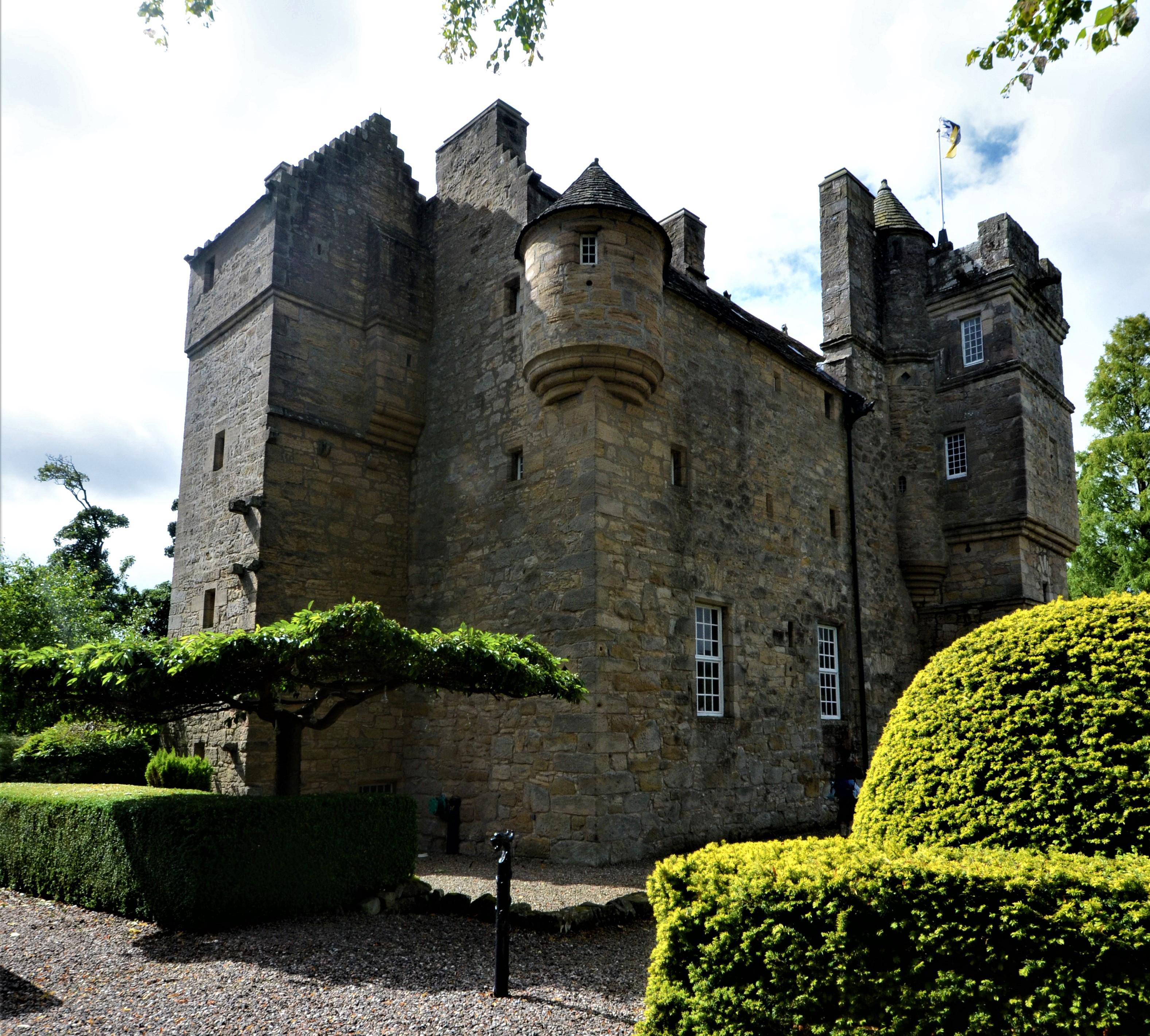
Couston Castle is a historic site located in Fife, Scotland. Situated near the town of Strathmiglo, the castle is a well-preserved example of a 16th-century tower house. It is officially recognized as a Category A listed building and is considered a significant heritage site in the region.

The castle was originally built in the late 1500s by the Preston family, who were prominent landowners in Fife. The tower house was constructed as a fortified residence, offering protection to its inhabitants during a time of political instability and border conflicts. The architecture of Couston Castle reflects its defensive purpose, with thick stone walls, narrow windows, and a sturdy design.

Over the centuries, the castle changed hands several times, passing through various families and undergoing some alterations. However, much of the original structure remains intact, including the central tower and parts of the surrounding walls. The castle is privately owned and has been carefully maintained, ensuring its preservation as a historical landmark.

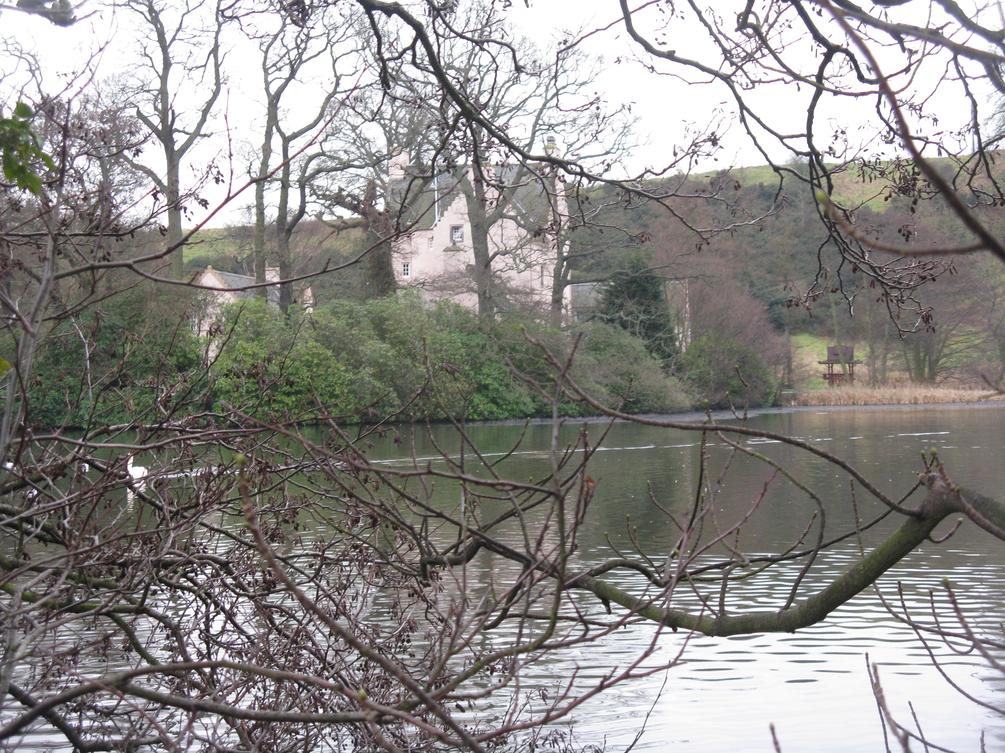
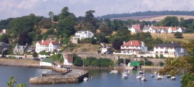
Couston Castle is not open to the public, but it can be admired from the outside, offering visitors a glimpse into Scotland's rich architectural heritage. The castle's picturesque setting, nestled among rolling hills and scenic landscapes, adds to its charm and allure. Its historical significance and well-preserved condition make Couston Castle a fascinating destination for history enthusiasts and architectural admirers alike.

If you have any feedback on the listing, please let us know in the comments section below.

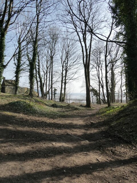
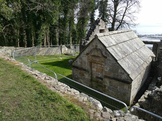
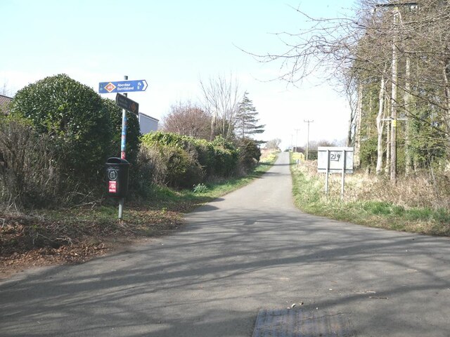
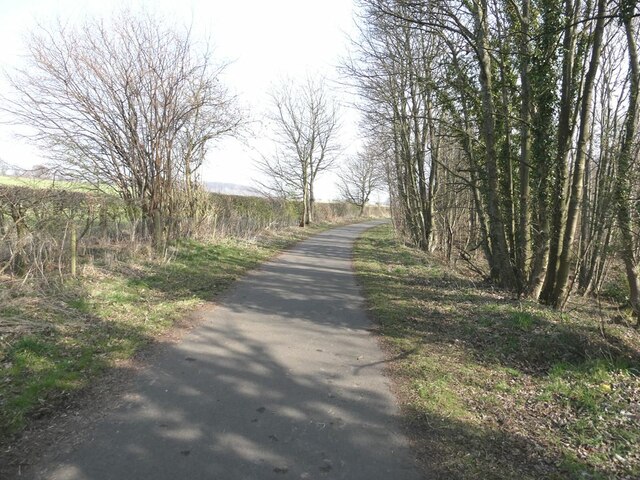
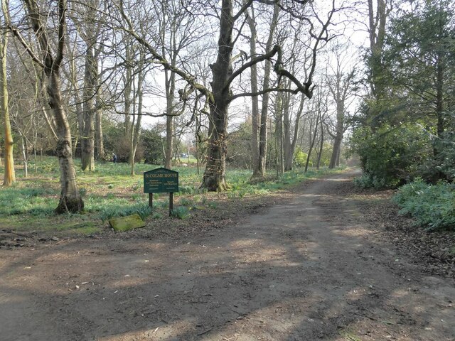
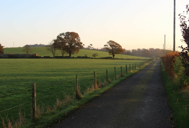
Couston Castle Images

Images are sourced within 2km of 56.055/-3.342 or Grid Reference NT1685. Thanks to Geograph Open Source API. All images are credited.

Junction on A921 at Dalgety Bay
Dalgety Bay The term "Dalgety Bay" applies both to this one bay, and to the much more larger town which extends westwards to include a number of other bays on the north shore of the Firth of Forth.
Dalgety Bay
The term "Dalgety Bay" applies both to this one bay, and to the much more larger town which extends westwards to include a number of other bays on the north shore of the Firth of Forth.
Fife Coastal Path at Dalgety Bay The Fife Coastal Path runs at this point in common with National Cycle Network route 76.
Fife Coastal Path at Dalgety Bay
The Fife Coastal Path runs at this point in common with National Cycle Network route 76.
Fife Coastal Path at Dalgety Bay The Fife Coastal Path runs at this point in common with National Cycle Network route 76. The headland of Braefoot Point in the distance.
Fife Coastal Path at Dalgety Bay
The Fife Coastal Path runs at this point in common with National Cycle Network route 76. The headland of Braefoot Point in the distance.
Woodland above the shore of Dalgety Bay
St Bridget's Kirk Closed to visitors because of the dangerous state of the buildings.
St Bridget's Kirk
Closed to visitors because of the dangerous state of the buildings.
Junction on the private road from St Bridget's Kirk to Four Lums The road to the right is Beech Avenue which carries the Fife Coastal Path through to Aberdour.
Junction on the private road from St Bridget's Kirk to Four Lums
The road to the right is Beech Avenue which carries the Fife Coastal Path through to Aberdour.
Private road to Braefoot Point The road carries the status of public right of way.
Private road to Braefoot Point
The road carries the status of public right of way.
Daffodils on Beech Avenue In spring, at least, it is daffodils rather than beech trees which characterise this private farm road which runs between Dalgety Bay and Aberdour. The road carries the Fife Coastal Path and National Cycle Network route 76.
Daffodils on Beech Avenue
In spring, at least, it is daffodils rather than beech trees which characterise this private farm road which runs between Dalgety Bay and Aberdour. The road carries the Fife Coastal Path and National Cycle Network route 76.
Horse riders on Beech Avenue In spring, at least, it is daffodils rather than beech trees which characterise this private farm road which runs between Dalgety Bay and Aberdour. The road carries the Fife Coastal Path and National Cycle Network route 76.
Horse riders on Beech Avenue
In spring, at least, it is daffodils rather than beech trees which characterise this private farm road which runs between Dalgety Bay and Aberdour. The road carries the Fife Coastal Path and National Cycle Network route 76.
Cyclists on Beech Avenue In spring, at least, it is daffodils rather than beech trees which characterise this private farm road which runs between Dalgety Bay and Aberdour. The road carries the Fife Coastal Path and National Cycle Network route 76.
Cyclists on Beech Avenue
In spring, at least, it is daffodils rather than beech trees which characterise this private farm road which runs between Dalgety Bay and Aberdour. The road carries the Fife Coastal Path and National Cycle Network route 76.
Path from Beech Avenue to Braefoot Point With status of public right of way.
Path from Beech Avenue to Braefoot Point
With status of public right of way.
Subway under the access road to Braefoot Terminal This subway carries the Fife Coastal Path and National Cycle Network route 76 under the access road to the Braefoot Terminal which is a terminal for the export of liquefied Petroleum Natural Gas.
Subway under the access road to Braefoot Terminal
This subway carries the Fife Coastal Path and National Cycle Network route 76 under the access road to the Braefoot Terminal which is a terminal for the export of liquefied Petroleum Natural Gas.
Driveway through the trees to St Colme House
On the path towards Cullaloe Hills
Fields at Croftgarry
Autumn in Goat Wood
Autumn in Goat Wood
Daybreak over fields at Bankhead Farm
Show me another place!

Couston Castle is located at Grid Ref: NT1685 (Lat: 56.055, Lng: -3.342)

Unitary Authority: Fife

Police Authority: Fife

What 3 Words

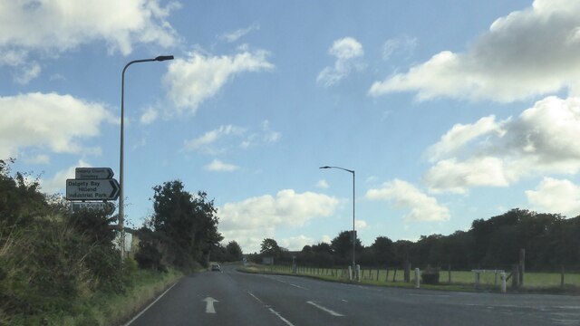
///risk.foggy.aquatics. Near Dalgety Bay, Fife

Related Wikis

Couston Castle

Couston Castle is an L-plan tower house dating from the late sixteenth or early seventeenth centuries, just north east of Dalgety Bay, at the edge of Otterston...

RNAS Donibristle (HMS Merlin)

Royal Naval Air Station Donibristle or more simply RNAS Donibristle was a former Fleet Air Arm base located 2.7 miles (4.3 km) east of Rosyth, Fife, and...

St Bridget's Kirk

St. Bridget's Kirk is a ruined church on the outskirts of Dalgety Bay, Fife, Scotland. It is a shell of a medieval church, dating back at least as far...

Fordell Castle

Fordell Castle is a restored 16th-century tower house, located 1.25 miles (2.01 km) north-west of Dalgety Bay and 2 miles (3.2 km) east of Dunfermline...

Dalgety Bay

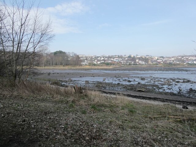
Dalgety Bay ( ) is a coastal town and parish in Fife, Scotland. According to Fife Council, the town is home to , making this the eighth-largest place...

Dalgety Bay railway station

Dalgety Bay railway station serves the town of Dalgety Bay in Fife, Scotland. Lying on the Fife Circle and EdinburghーDundee lines, it is managed by ScotRail...

Aberdour

Aberdour ( ; Scots: , Scottish Gaelic: Obar Dobhair) is a scenic and historic village on the south coast of Fife, Scotland. It is on the north shore of...

Hillend, Fife

Hillend is a small village in Fife, Scotland. It is located roughly to the north-west of Dalgety Bay. It is the location of Heil's manufacturing facilities...

Nearby Amenities

Located within 500m of 56.055,-3.342
Ele: 110
Natural: peak
Lat/Long: 56.0575709/-3.3435429
Power: pole
Lat/Long: 56.0590701/-3.3393837
Power: pole
Lat/Long: 56.0586534/-3.3403789
Power: pole
Lat/Long: 56.0582367/-3.3413518
Power: pole
Lat/Long: 56.057803/-3.3424602
Power: pole
Lat/Long: 56.0577386/-3.3435018
Power: pole
Lat/Long: 56.0576799/-3.3446811
Power: pole
Lat/Long: 56.0576099/-3.3458764
Power: pole
Lat/Long: 56.0575455/-3.3471103
Power: pole
Lat/Long: 56.0574665/-3.3483744
Power: pole
Lat/Long: 56.0568837/-3.3455023
Power: pole
Lat/Long: 56.0561552/-3.345124
Power: pole
Lat/Long: 56.0554663/-3.344855
Power: pole
Lat/Long: 56.0547175/-3.3445536
Power: pole
Lat/Long: 56.0539619/-3.3442462
Power: pole
Lat/Long: 56.053213/-3.3439347
Power: pole
Lat/Long: 56.0528075/-3.3434675
Power: pole
Lat/Long: 56.0525613/-3.3432146
The data included in this document is from www.openstreetmap.org. The data is made available under ODbL.

Have you been to Couston Castle?

Leave your review of Couston Castle below (or comments, questions and feedback).