Crow Hill
Hill, Mountain in Fife
Scotland
Crow Hill
Crow Hill, located in Fife, Scotland, is a prominent hill that rises to a height of approximately 360 meters (1,180 feet). It is situated near the town of Dunfermline in the southwestern part of the county. Offering stunning panoramic views of the surrounding countryside, Crow Hill is a popular destination for outdoor enthusiasts, hikers, and nature lovers.
The hill is characterized by its distinct crowning peak, which gives it its name. Its slopes are covered in heather and grasses, creating a picturesque landscape that changes with the seasons. The terrain is relatively gentle, making it accessible to both experienced hikers and beginners.
To reach the summit, there are several well-marked trails and paths that wind their way up the hill. One of the most popular routes starts from the nearby village of Saline, offering a moderate ascent through woodlands and open fields. Another route, starting from Dunfermline, takes hikers through a more challenging path, providing a greater sense of adventure.
Once at the top, visitors are rewarded with breathtaking views of the surrounding area. On a clear day, it is possible to see as far as the Firth of Forth and the Ochil Hills. The summit also hosts a trig point, a landmark often found on top of hills and mountains throughout the United Kingdom.
Crow Hill, with its natural beauty and accessibility, remains a cherished location for locals and tourists alike, offering a peaceful retreat and an opportunity to connect with nature in the heart of Fife.
If you have any feedback on the listing, please let us know in the comments section below.
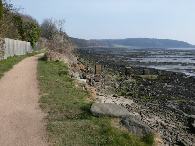
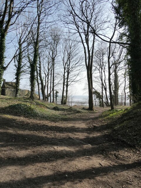
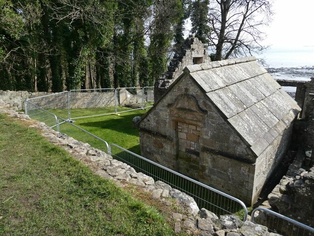
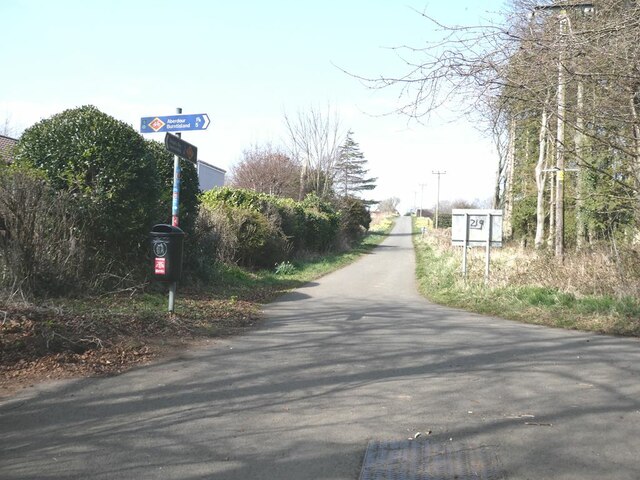
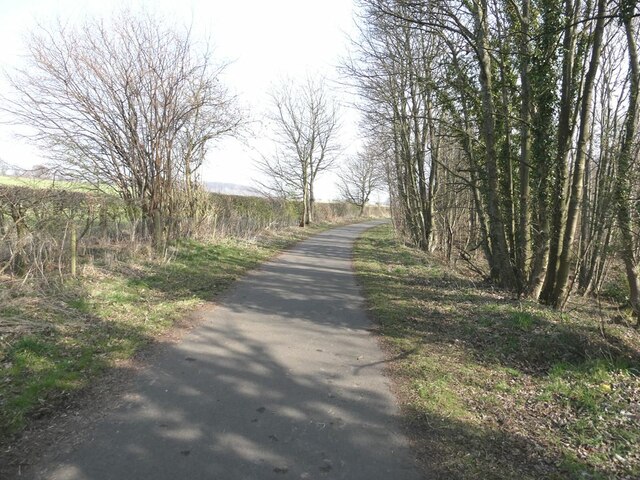
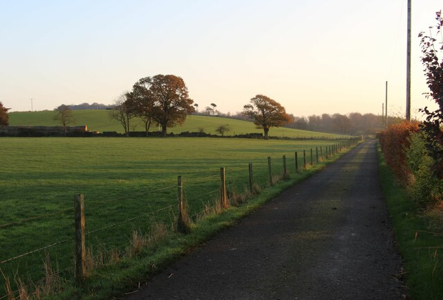
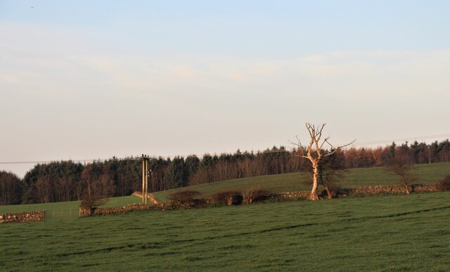
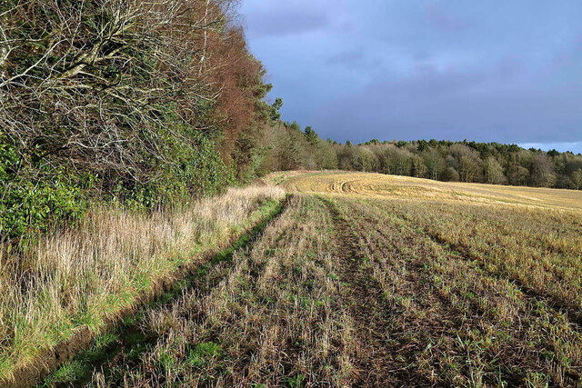
Crow Hill Images
Images are sourced within 2km of 56.050582/-3.3492032 or Grid Reference NT1685. Thanks to Geograph Open Source API. All images are credited.


Crow Hill is located at Grid Ref: NT1685 (Lat: 56.050582, Lng: -3.3492032)
Unitary Authority: Fife
Police Authority: Fife
What 3 Words
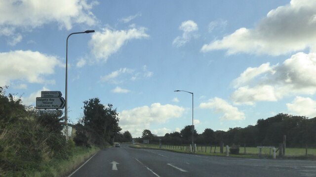
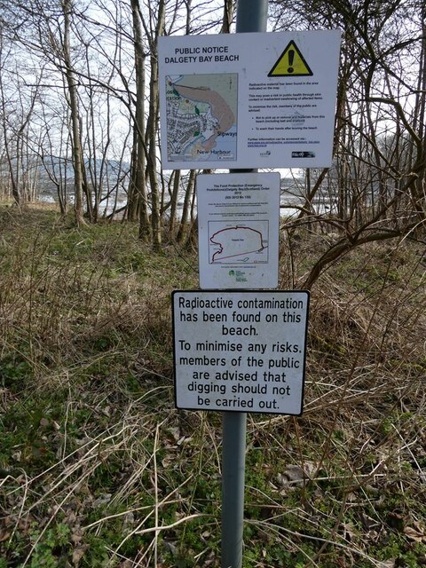
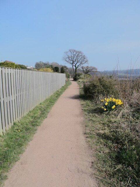
///provoking.tearfully.grumbles. Near Dalgety Bay, Fife
Nearby Locations
Related Wikis
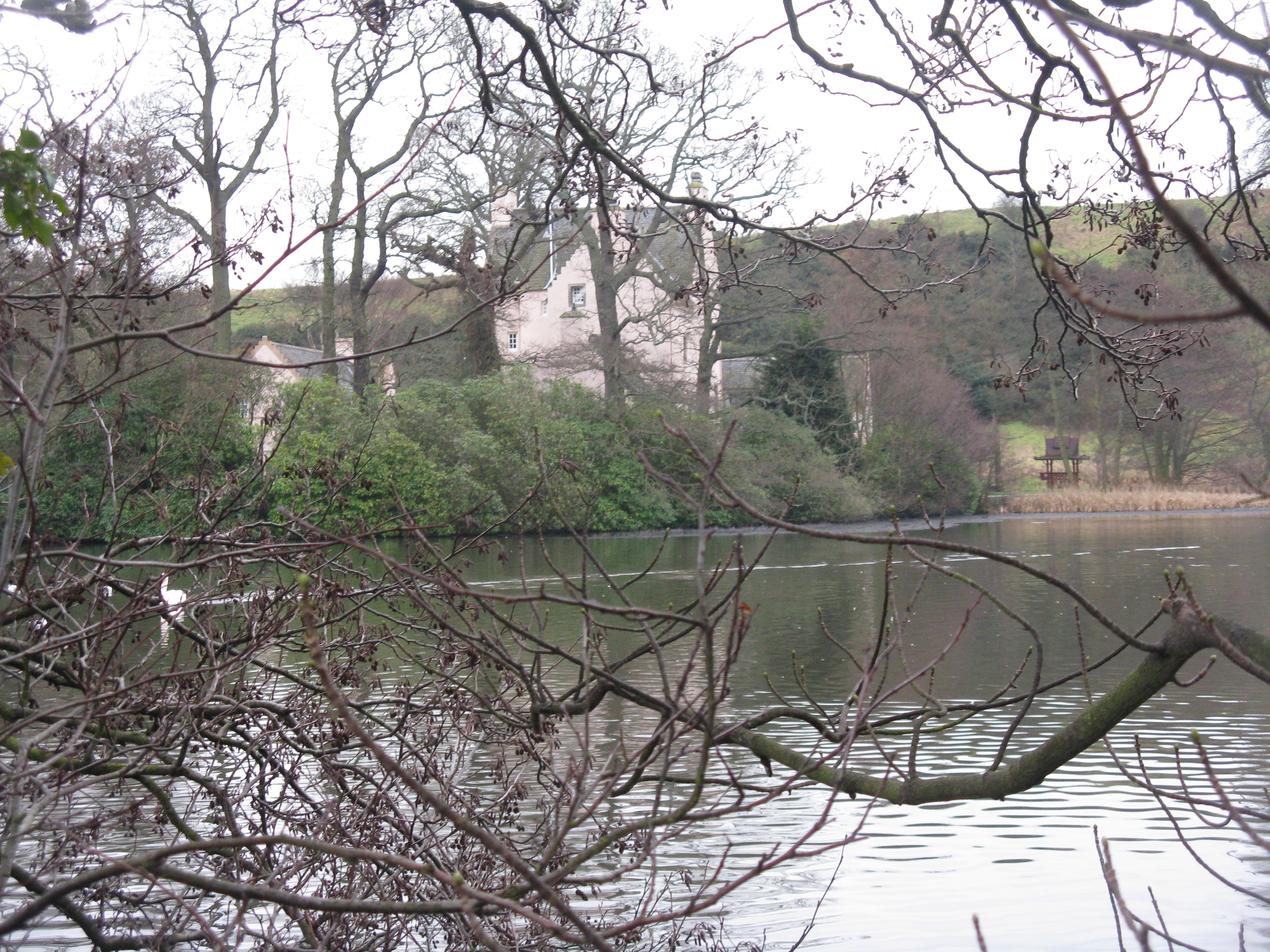
Couston Castle
Couston Castle is an L-plan tower house dating from the late sixteenth or early seventeenth centuries, just north east of Dalgety Bay, at the edge of Otterston...

RNAS Donibristle (HMS Merlin)
Royal Naval Air Station Donibristle or more simply RNAS Donibristle was a former Fleet Air Arm base located 2.7 miles (4.3 km) east of Rosyth, Fife, and...
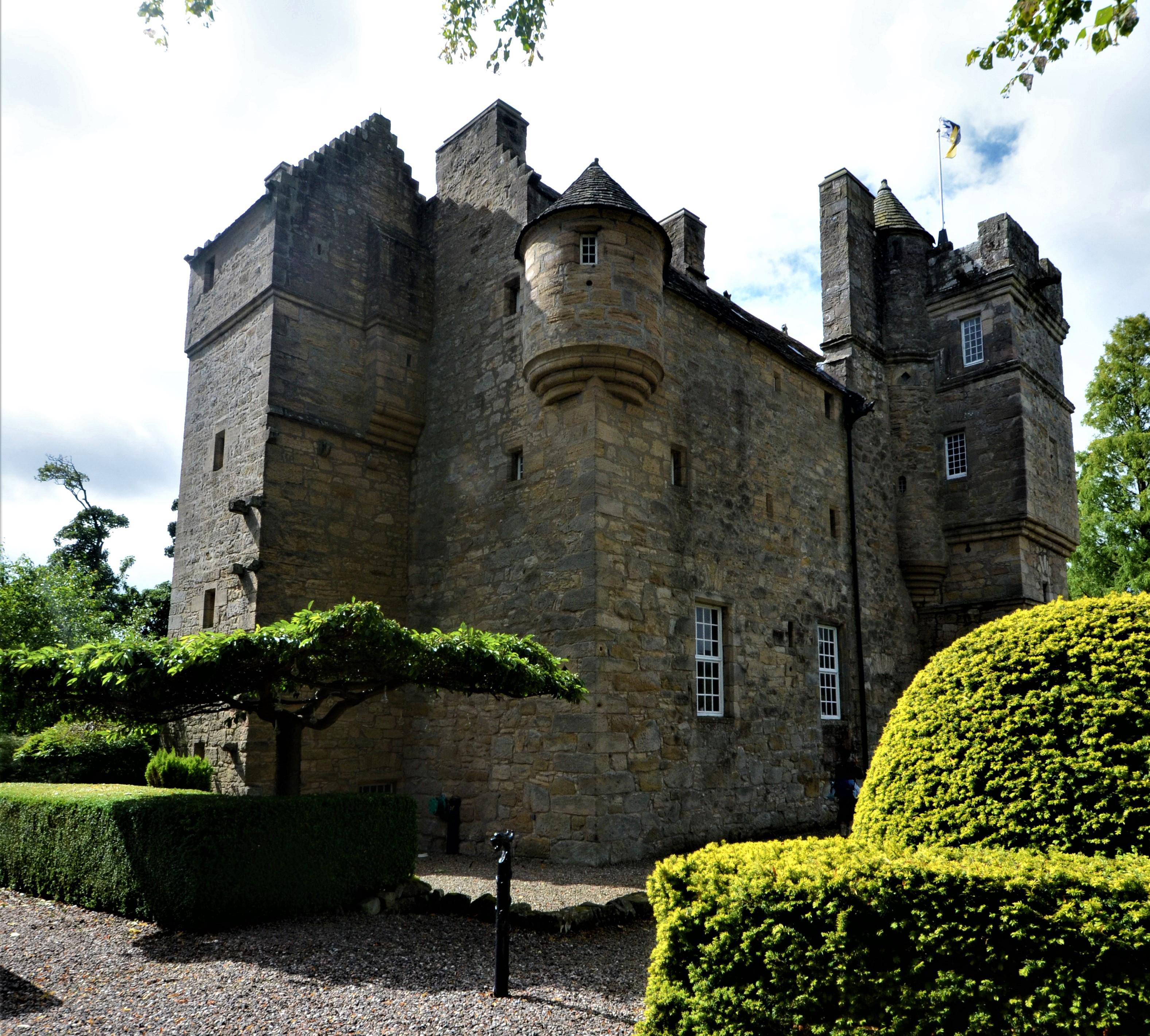
Fordell Castle
Fordell Castle is a restored 16th-century tower house, located 1.25 miles (2.01 km) north-west of Dalgety Bay and 2 miles (3.2 km) east of Dunfermline...

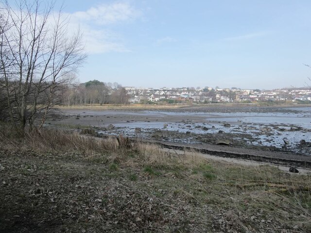
Dalgety Bay
Dalgety Bay ( ) is a coastal town and parish in Fife, Scotland. According to Fife Council, the town is home to , making this the eighth-largest place...
Nearby Amenities
Located within 500m of 56.050582,-3.3492032Have you been to Crow Hill?
Leave your review of Crow Hill below (or comments, questions and feedback).