Court Cairn

Heritage Site in Wigtownshire

Scotland

Court Cairn

View to cairn on Mochrum Fell From Culshabbin.
View to cairn on Mochrum Fell Credit: Russel Wills

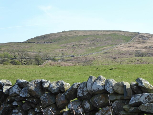
Court Cairn is a historic heritage site located in Wigtownshire, Scotland. The site is a well-preserved example of a Neolithic chambered tomb, dating back to around 4000 BC. It is situated in a picturesque rural setting, nestled amidst rolling hills and verdant pastures.

The Court Cairn consists of a circular mound, approximately 20 meters in diameter, surrounded by a stone kerb. The mound is thought to have been constructed using earth and stones, while the kerb is made up of large, upright stones. At the center of the mound, there is a passage leading to a burial chamber. This chamber is rectangular in shape and is divided into two compartments by a transverse stone. It is believed that this tomb was used for communal burials, with multiple individuals being interred within the chambers.

The Court Cairn is of significant archaeological importance as it provides valuable insights into the burial practices and social structures of the Neolithic period. Excavations at the site have revealed various artifacts such as pottery, flint tools, and animal bones, shedding light on the lives of the people who lived here thousands of years ago.

Today, Court Cairn is open to the public, allowing visitors to explore this ancient burial site and learn about its historical significance. Interpretive panels provide information about the site's history, while a pathway allows easy access for visitors. The tranquil surroundings and the well-preserved nature of the site make Court Cairn a fascinating destination for history enthusiasts and those interested in Scotland's ancient past.

If you have any feedback on the listing, please let us know in the comments section below.
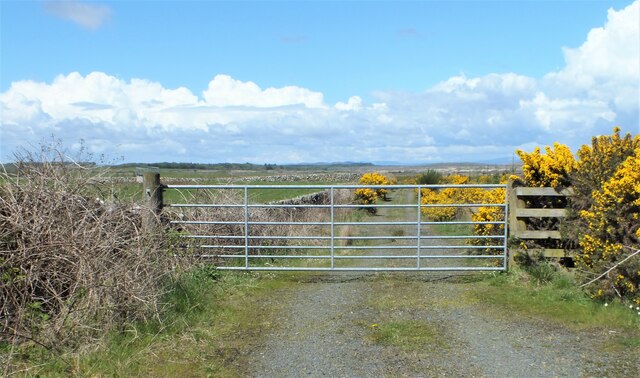
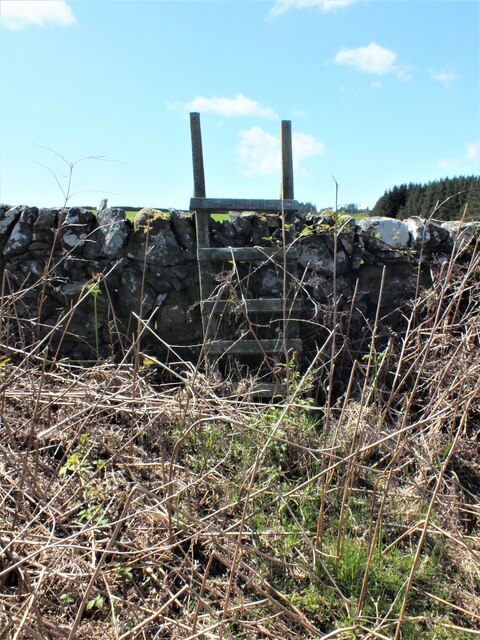
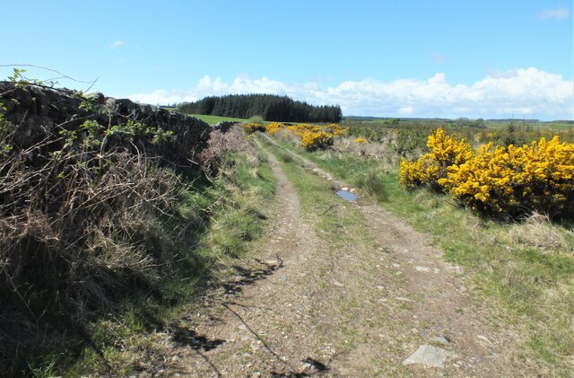
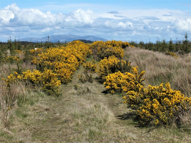
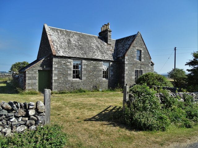
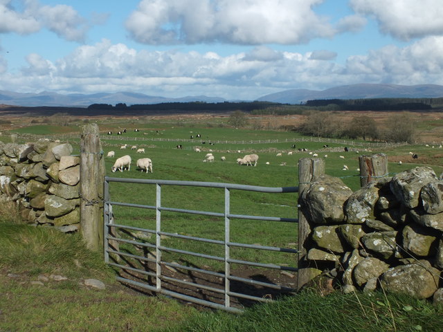
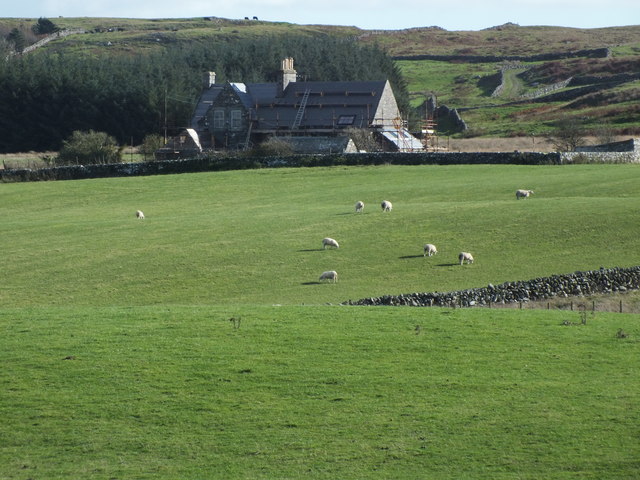
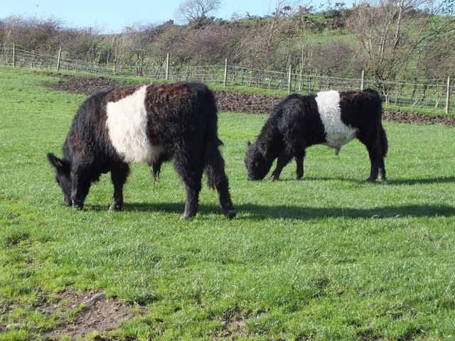
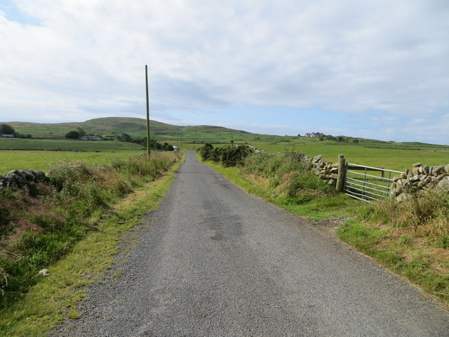
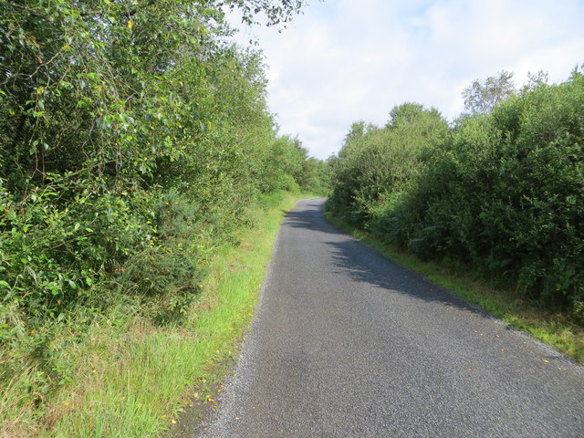
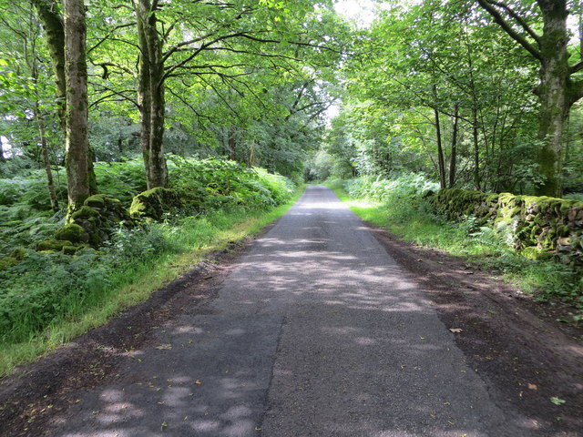
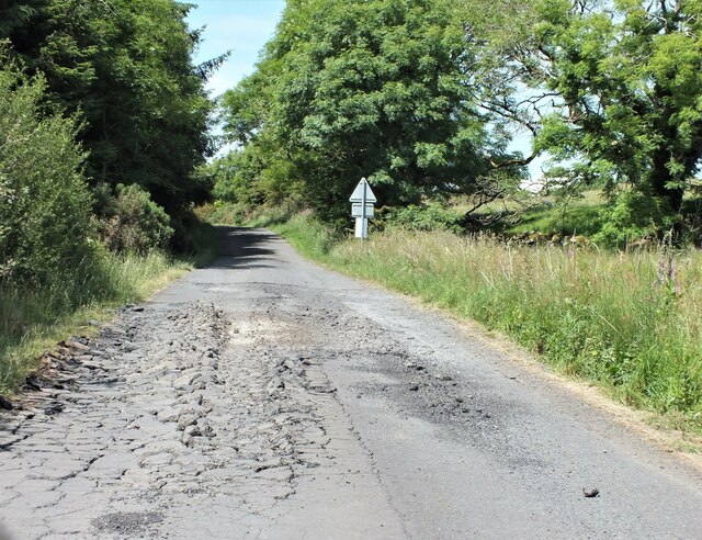
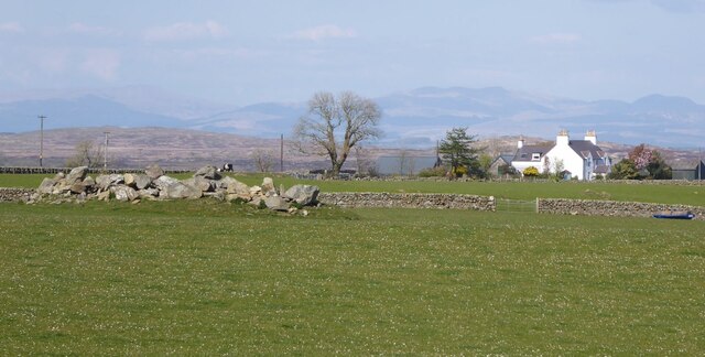
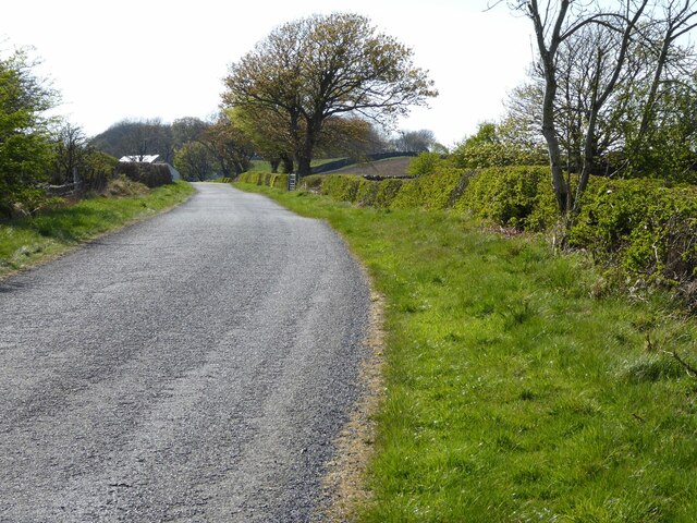
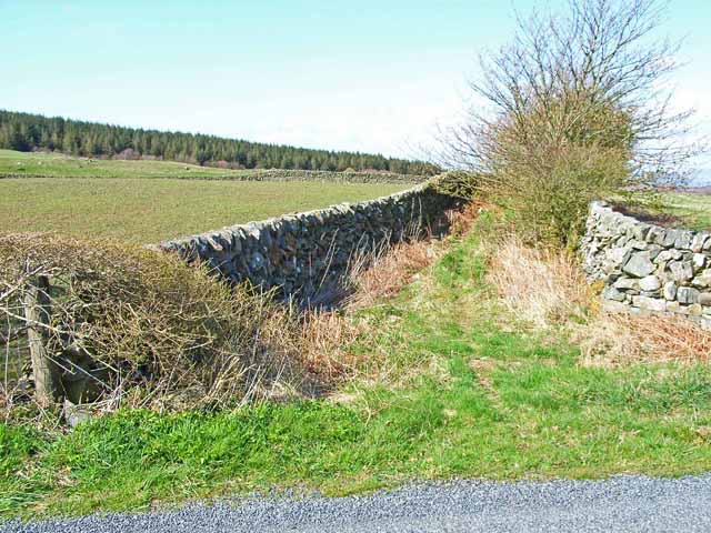
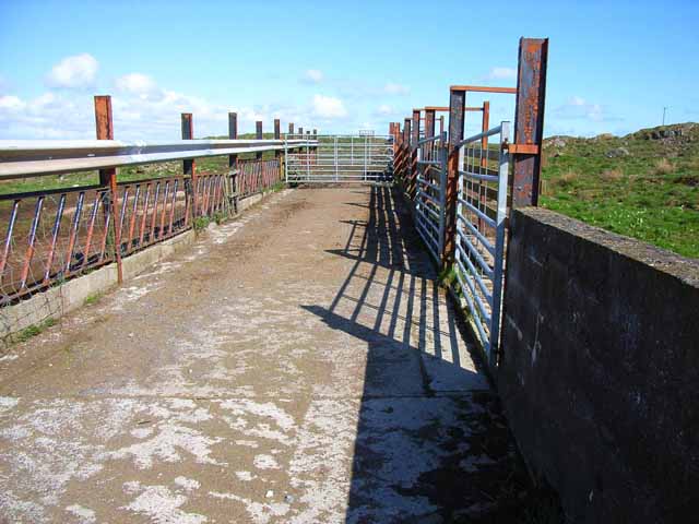
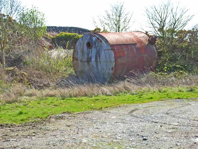
Court Cairn Images

Images are sourced within 2km of 54.83/-4.638 or Grid Reference NX3051. Thanks to Geograph Open Source API. All images are credited.

View to cairn on Mochrum Fell From Culshabbin.
View to cairn on Mochrum Fell
From Culshabbin.
Gate to the Forestry Off the road between Culshabbin and High Glenling.
Gate to the Forestry
Off the road between Culshabbin and High Glenling.
Ladder Stile This is part of Mochrum Estate, very much a sporting estate.
Ladder Stile
This is part of Mochrum Estate, very much a sporting estate.
Track on the Machar Following the wall.
Track on the Machar
Following the wall.
Not Going to get Very Far Down There! Although the track seen in <a href="https://www.geograph.org.uk/photo/7485841">NX3051 : Track on the Machar</a> carries on following the wall, according to the map it goes to the right here. But it appears to have been taken over by Gorse.
Not Going to get Very Far Down There!
Although the track seen in NX3051 : Track on the Machar carries on following the wall, according to the map it goes to the right here. But it appears to have been taken over by Gorse.
Culshabbin Schoolhouse Though the grass around the building had recently been tended, the old school room and the attached schoolhouse are disused and deteriorating as time marches ever onward.
Culshabbin Schoolhouse
Though the grass around the building had recently been tended, the old school room and the attached schoolhouse are disused and deteriorating as time marches ever onward.
Across the Machar Looking over the fields of grazing livestock with the Galloway Hills in the distance.
Across the Machar
Looking over the fields of grazing livestock with the Galloway Hills in the distance.
Culshabbin Schoolhouse It looks like, at last, that some repairs are being carried out.
Culshabbin Schoolhouse
It looks like, at last, that some repairs are being carried out.
Galloway Natives Two young Belted Galloway bullocks enjoying a bite of grass in the sunshine.
Galloway Natives
Two young Belted Galloway bullocks enjoying a bite of grass in the sunshine.
Wall-lined minor road between The May and Culshabbin Looking southward.
Wall-lined minor road between The May and Culshabbin
Looking southward.
Tree-lined minor road heading in the direction of Mochrum Loch Looking north-westward.
Tree-lined minor road heading in the direction of Mochrum Loch
Looking north-westward.
Minor road beside Mochrum Loch passing through Heathery Ward Wood Looking south-westward.
Minor road beside Mochrum Loch passing through Heathery Ward Wood
Looking south-westward.
There's been some heavy traffic along here There has been a large forestry clear-fell along this road and it just wasn't built for the heavy timber wagons using it.
There's been some heavy traffic along here
There has been a large forestry clear-fell along this road and it just wasn't built for the heavy timber wagons using it.
Is it a cairn or a heap of stones The May in the background.
Is it a cairn or a heap of stones
The May in the background.
Road approaching Viewfalls On National Cycle Network Route 73.
Road approaching Viewfalls
On National Cycle Network Route 73.
Old lane to the May This abandoned lane used to run from the B7005 to the May Farm
Old lane to the May
This abandoned lane used to run from the B7005 to the May Farm
Cattle pens Seen near the B7005 Wigtown to Glenluce road
Cattle pens
Seen near the B7005 Wigtown to Glenluce road
Old tank by the roadside Seen from the B7005 Wigtown to Glenluce road. How it got there and what it is doing there remains a mystery.
Old tank by the roadside
Seen from the B7005 Wigtown to Glenluce road. How it got there and what it is doing there remains a mystery.
Show me another place!

Court Cairn is located at Grid Ref: NX3051 (Lat: 54.83, Lng: -4.638)

Unitary Authority: Dumfries and Galloway

Police Authority: Dumfries and Galloway

What 3 Words

///chop.expel.protrude. Near Newton Stewart, Dumfries & Galloway

Nearby Locations

Court Cairn

Related Wikis

Machars

The Machars (Scottish Gaelic: Machair Ghallghaidhealaibh) is a peninsula in the historical county of Wigtownshire in Galloway in the south-west of Scotland...

Doon of May

The Doon of May is a conifer plantation associated with an Iron Age hill fort in Dumfries and Galloway, south-west Scotland. Located around 14 kilometres...

Mochrum Loch

Mochrum Loch is a large, irregular shaped, shallow, freshwater loch in Dumfries and Galloway, in the Southern Uplands of south-west Scotland. It lies approximately...

Castle Loch, Dumfries and Galloway

Castle Loch is a large, shallow, freshwater loch in Dumfries and Galloway, in the Southern Uplands of south-west Scotland. It lies to the west of Mochrum...

Nearby Amenities

Located within 500m of 54.83,-4.638
Power: pole
Lat/Long: 54.8310438/-4.6454061
Power: pole
Lat/Long: 54.8317924/-4.6448545
Power: pole
Lat/Long: 54.8325666/-4.6443008
The data included in this document is from www.openstreetmap.org. The data is made available under ODbL.

Have you been to Court Cairn?

Leave your review of Court Cairn below (or comments, questions and feedback).