Court Barn

Heritage Site in Somerset

England

Court Barn

West Bradley, Somerset The parish church's dedication is not known.
West Bradley, Somerset Credit: ChurchCrawler

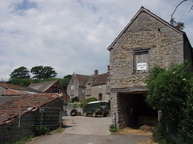
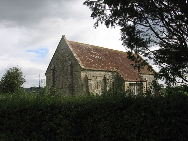
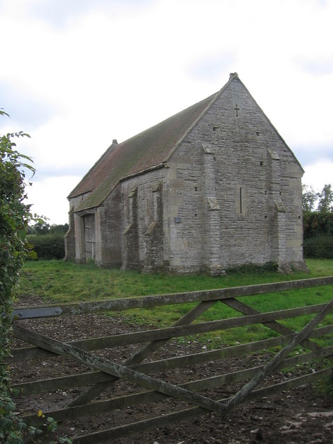
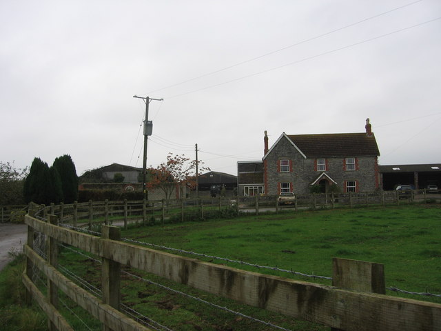
Court Barn is a historic heritage site located in Somerset, England. It is a Grade II listed building that holds great significance in the local area due to its historical and architectural value. The origin of Court Barn dates back to the 16th century when it was constructed as a traditional Somerset longhouse, which was a typical design for rural farmhouses during that period.

The building's exterior showcases a charming blend of local stone and timber framing, creating a picturesque and authentic appearance. The interior features a spacious layout, with a central hall flanked by rooms on either side. The original oak beams and stone fireplaces add to the building's character and serve as a reminder of its rich history.

Court Barn has witnessed various adaptations and renovations over the centuries, including the addition of a thatched roof and the conversion of some areas into workshops. Today, the site serves as a showcase for traditional craft skills, with artisans practicing and displaying their crafts in the building.

Visitors to Court Barn can explore the workshops and observe skilled craftsmen at work, such as blacksmiths, potters, and weavers. The site offers a unique opportunity to witness traditional techniques being practiced and learn about the rich heritage of Somerset's craft industry.

In addition to the workshops, Court Barn also houses a small museum, which displays artifacts and exhibits related to the history of the building and the local area. The museum provides an insight into the lives of the people who once lived and worked in Court Barn and offers a glimpse into the rural life of Somerset throughout the centuries.

Overall, Court Barn in Somerset is a treasured heritage site that provides an authentic and immersive experience into the region's history and craftsmanship.

If you have any feedback on the listing, please let us know in the comments section below.
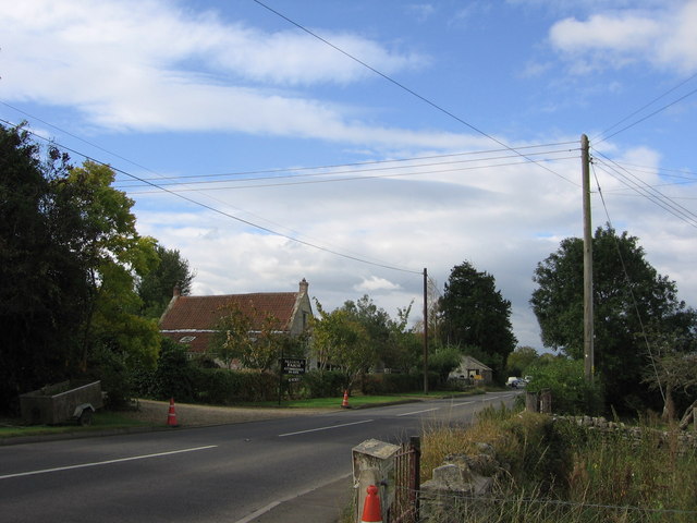
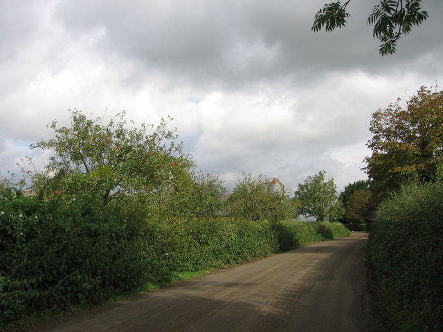
Court Barn Images

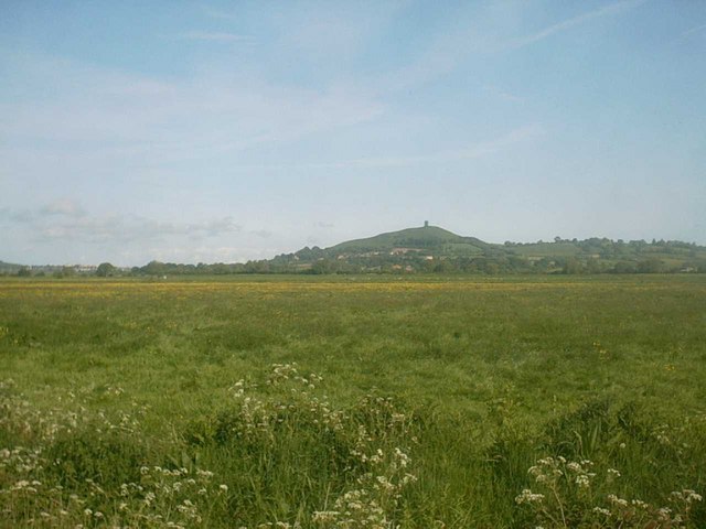
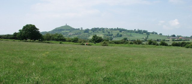
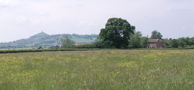
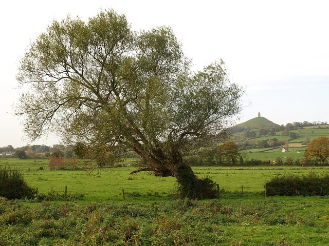
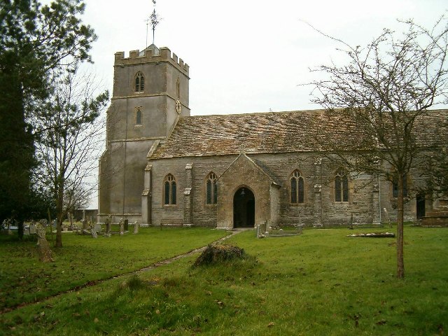
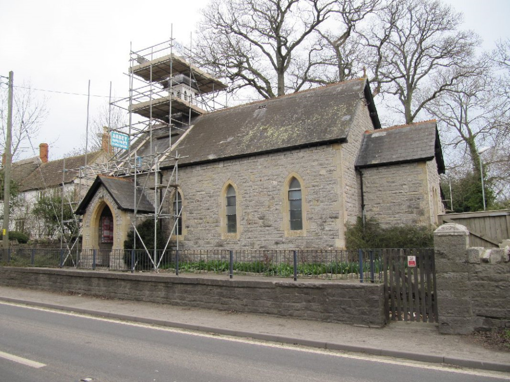
Images are sourced within 2km of 51.135/-2.65 or Grid Reference ST5437. Thanks to Geograph Open Source API. All images are credited.

West Bradley, Somerset The parish church's dedication is not known.
West Bradley, Somerset
The parish church's dedication is not known.
West Pennard (Somerset) Church of St Nicholas
The Ecohouse
The Ecohouse
Manor Farm
Manor Farm
Butt Moor (Nr Glastonbury)
Ponter's Ball This ancient earthwork must have formed a defensive barrier across the ridge which has low lying land to either side - presumably very marshy in the past.
Ponter's Ball
This ancient earthwork must have formed a defensive barrier across the ridge which has low lying land to either side - presumably very marshy in the past.
across Ponter's Ball to Glastonbury Tor This shows the north end of Ponter's Ball earthwork, the overgrown footpath and Norwood Park on the RHS.
across Ponter's Ball to Glastonbury Tor
This shows the north end of Ponter's Ball earthwork, the overgrown footpath and Norwood Park on the RHS.
across fields to Glastonbury Tor East Street in the foreground.
across fields to Glastonbury Tor
East Street in the foreground.
Higher South Town Farm
footbridge over Bradley Brook
fields by Washingstones Gully Taken from the footpath - sadly we could not get into the overgrown Washingstones Gully to see if there were any.
fields by Washingstones Gully
Taken from the footpath - sadly we could not get into the overgrown Washingstones Gully to see if there were any.
Piltown Filling Station An independent filling station with a pantiled canopy.  There is some history here: <span class="nowrap"><a title="http://www.patrick-graham.co.uk/piltown-filling-station/" rel="nofollow ugc noopener" href="http://www.patrick-graham.co.uk/piltown-filling-station/">Link</a><img style="margin-left:2px;" alt="External link" title="External link - shift click to open in new window" src="https://s1.geograph.org.uk/img/external.png" width="10" height="10"/></span>
Piltown Filling Station
An independent filling station with a pantiled canopy. There is some history here: LinkExternal link
The A361 and part of Manor Farm, Piltown How much is Piltown confused with Pilton, a short distance down the road?
The A361 and part of Manor Farm, Piltown
How much is Piltown confused with Pilton, a short distance down the road?
Orchard and milking shed, Court Barn Farm Perhaps the ripe apples are destined for the cider factory in Shepton Mallet.
Orchard and milking shed, Court Barn Farm
Perhaps the ripe apples are destined for the cider factory in Shepton Mallet.
Court Barn This former tithe barn is in the care of the National Trust.  Wikipedia page: <span class="nowrap"><a title="https://en.wikipedia.org/wiki/West_Pennard_Court_Barn" rel="nofollow ugc noopener" href="https://en.wikipedia.org/wiki/West_Pennard_Court_Barn">Link</a><img style="margin-left:2px;" alt="External link" title="External link - shift click to open in new window" src="https://s1.geograph.org.uk/img/external.png" width="10" height="10"/></span>
Court Barn
This former tithe barn is in the care of the National Trust. Wikipedia page: LinkExternal link
Court Barn According to the Wikipedia entry <span class="nowrap"><a title="https://en.wikipedia.org/wiki/West_Pennard_Court_Barn" rel="nofollow ugc noopener" href="https://en.wikipedia.org/wiki/West_Pennard_Court_Barn">Link</a><img style="margin-left:2px;" alt="External link" title="External link - shift click to open in new window" src="https://s1.geograph.org.uk/img/external.png" width="10" height="10"/></span> this barn dates from the late 14th or early 15th century.  The niches which can be seen here were intended for birds as the structure originally incorporated a dovecote.
Court Barn
According to the Wikipedia entry LinkExternal link this barn dates from the late 14th or early 15th century. The niches which can be seen here were intended for birds as the structure originally incorporated a dovecote.
Middle East Street Farm This farm has diversified into B & B.
Middle East Street Farm
This farm has diversified into B & B.
Willow near East Street Seen from footpath WS 14/58. In the distance is Glastonbury Tor.
Willow near East Street
Seen from footpath WS 14/58. In the distance is Glastonbury Tor.
Show me another place!

Court Barn is located at Grid Ref: ST5437 (Lat: 51.135, Lng: -2.65)

What 3 Words

///skid.tapes.grazes. Near Glastonbury, Somerset

Related Wikis

West Pennard Court Barn

West Pennard Court Barn (which is also known as the Court Barn, West Bradley) is a late 14th or early 15th century tithe barn which was built for Glastonbury...

West Pennard

West Pennard (or West Pennard Manor) is a village and civil parish east of Glastonbury, situated at the foot of Pennard Hill, in Somerset, England. The...

Ponter's Ball Dyke

Ponter's Ball Dyke is a linear earthwork located near Glastonbury in Somerset, England. It crosses, at right angles, an ancient road that continues on...

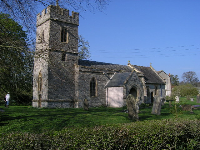
Church of St Andrew, West Bradley

The Anglican Church of St Andrew in West Bradley, within the English county of Somerset, dates from the 14th century. It is a Grade II* listed building...

West Bradley

West Bradley is a village and civil parish 4 miles south-east of Glastonbury in Somerset, England. The parish includes the hamlets of Hornblotton and Lottisham...

Baltonsborough

Baltonsborough is a village and civil parish in Somerset, England. The parish had a population of 864 at the 2011 Census. As well as Baltonsborough village...

St Andrew's Church, Edgarley

St Andrew's Church is a former Church of England mission church in Edgarley, Somerset, England. It was built in 1897 and is now used as a private chapel...

West Pennard railway station

West Pennard railway station was a station on the Highbridge branch of the Somerset and Dorset Joint Railway. Opened on 3 February 1862, it was reduced...

Nearby Amenities

Located within 500m of 51.135,-2.65
Court Barn Farm
Place: isolated_dwelling
Source: OS7
Lat/Long: 51.1320032/-2.6479522
The data included in this document is from www.openstreetmap.org. The data is made available under ODbL.

Have you been to Court Barn?

Leave your review of Court Barn below (or comments, questions and feedback).