Cleaven Dyke

Heritage Site in Perthshire

Scotland

Cleaven Dyke

A984 westbound
A984 westbound Credit: Alex McGregor

Cleaven Dyke, located in Perthshire, Scotland, is an ancient heritage site that holds great historical significance. It is an impressive earthwork embankment that stretches for approximately 3 miles along the hills of the Cleaven Dyke Ridge. Believed to have been constructed during the Iron Age, Cleaven Dyke is one of the largest and best-preserved linear earthworks in Scotland.

The dyke itself consists of a massive bank of earth and stone, with a deep and wide ditch running parallel to it. The height of the embankment varies along its length, reaching up to 6 meters in some places. The construction of Cleaven Dyke showcases the engineering skills and labor-intensive efforts of the ancient inhabitants of the area.

The purpose of Cleaven Dyke is still a subject of debate among archaeologists and historians. Some theories suggest that it served as a territorial boundary or a defensive structure, while others propose that it was a ceremonial or symbolic monument. The lack of any known settlements or forts within the area further adds to the mystery surrounding its purpose.

Today, Cleaven Dyke is a popular heritage site that attracts visitors interested in ancient history and archaeology. The site offers stunning panoramic views of the surrounding landscape, allowing visitors to appreciate the strategic placement of the dyke. The presence of several walking trails and footpaths makes it easily accessible to explore and appreciate this remarkable piece of Scotland's ancient past.

If you have any feedback on the listing, please let us know in the comments section below.
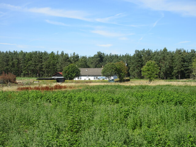
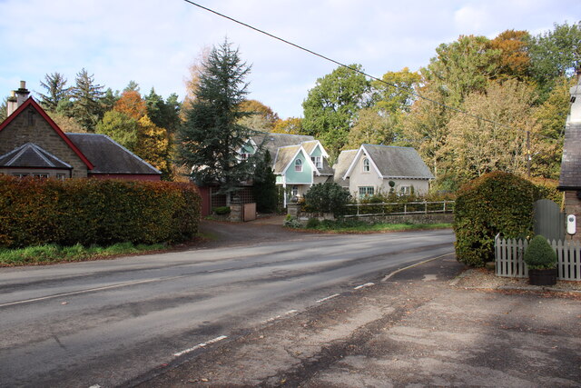
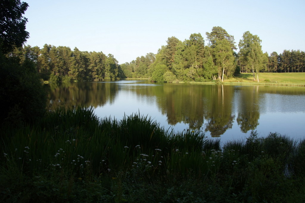
Cleaven Dyke Images

Images are sourced within 2km of 56.55/-3.358 or Grid Reference NO1640. Thanks to Geograph Open Source API. All images are credited.

A984 westbound
A984 westbound
Track to Hallhole
Track to Hallhole
Arable land by Hallhole Farmland between Meikleour and Coupar Angus.
Arable land by Hallhole
Farmland between Meikleour and Coupar Angus.
Meikleour Beech Hedge The beech hedge on the A93
Meikleour Beech Hedge
The beech hedge on the A93
Entrance to Meikleour Southern entrance to Meikleour on the minor road leading off the A93.
Entrance to Meikleour
Southern entrance to Meikleour on the minor road leading off the A93.
The A93 heading north to Blairgowrie Long straight on the A93 south of the crossroads with the A984.
The A93 heading north to Blairgowrie
Long straight on the A93 south of the crossroads with the A984.
Northern end of the Beech Hedge The Beech Hedge on the A93 viewed from its northern end.
Northern end of the Beech Hedge
The Beech Hedge on the A93 viewed from its northern end.
Meikleour Beech Hedge This remarkable hedge, believed to have been planted in the autumn of 1745, has been officially recorded since 1966 as the world's tallest. It is approximately 580 yards long and has an average height of 100 feet, attaining over 120 feet at the northern end (shown in the photograph) and about 80 feet to the south. The hedge is trimmed once every ten years
Meikleour Beech Hedge
This remarkable hedge, believed to have been planted in the autumn of 1745, has been officially recorded since 1966 as the world's tallest. It is approximately 580 yards long and has an average height of 100 feet, attaining over 120 feet at the northern end (shown in the photograph) and about 80 feet to the south. The hedge is trimmed once every ten years
A93 east of Meikleour
Road joining the A984 at Forresters Cottage, Meikleour Looking southward.
Road joining the A984 at Forresters Cottage, Meikleour
Looking southward.
Muirale House Looking north to Muirale House from the A984.
Muirale House
Looking north to Muirale House from the A984.
Cottages, The Row, Meikleour Both buildings to the left are Category C listed <span class="nowrap"><a title="https://portal.historicenvironment.scot/designation/LB4414" rel="nofollow ugc noopener" href="https://portal.historicenvironment.scot/designation/LB4414">Link</a><img style="margin-left:2px;" alt="External link" title="External link - shift click to open in new window" src="https://s1.geograph.org.uk/img/external.png" width="10" height="10"/></span> <span class="nowrap"><a title="https://portal.historicenvironment.scot/designation/LB4413" rel="nofollow ugc noopener" href="https://portal.historicenvironment.scot/designation/LB4413">Link</a><img style="margin-left:2px;" alt="External link" title="External link - shift click to open in new window" src="https://s1.geograph.org.uk/img/external.png" width="10" height="10"/></span>
Cottages, The Row, Meikleour
Both buildings to the left are Category C listed LinkExternal link LinkExternal link
Newfoundland, Meikleour The building on the left is the former school, which is Category C listed <span class="nowrap"><a title="https://portal.historicenvironment.scot/designation/LB4417" rel="nofollow ugc noopener" href="https://portal.historicenvironment.scot/designation/LB4417">Link</a><img style="margin-left:2px;" alt="External link" title="External link - shift click to open in new window" src="https://s1.geograph.org.uk/img/external.png" width="10" height="10"/></span>.
Newfoundland, Meikleour
The building on the left is the former school, which is Category C listed LinkExternal link.
Meikleour Village hall and Institute Arts and Crafts village hall and institute dating from 1930. It is category C listed <span class="nowrap"><a title="https://portal.historicenvironment.scot/designation/LB51922" rel="nofollow ugc noopener" href="https://portal.historicenvironment.scot/designation/LB51922">Link</a><img style="margin-left:2px;" alt="External link" title="External link - shift click to open in new window" src="https://s1.geograph.org.uk/img/external.png" width="10" height="10"/></span>.
Meikleour Village hall and Institute
Arts and Crafts village hall and institute dating from 1930. It is category C listed LinkExternal link.
Parkview, Meikleour Cottage dating from 1820-40 in Meikleour. It is category C listed <span class="nowrap"><a title="https://portal.historicenvironment.scot/designation/LB4418" rel="nofollow ugc noopener" href="https://portal.historicenvironment.scot/designation/LB4418">Link</a><img style="margin-left:2px;" alt="External link" title="External link - shift click to open in new window" src="https://s1.geograph.org.uk/img/external.png" width="10" height="10"/></span>.
Parkview, Meikleour
Cottage dating from 1820-40 in Meikleour. It is category C listed LinkExternal link.
Business Park, Meikleour estate The Old Dairy at Meikleour was converted into a business park in 2011. There are 4 offices/light workshops and 15 industrial units.
Business Park, Meikleour estate
The Old Dairy at Meikleour was converted into a business park in 2011. There are 4 offices/light workshops and 15 industrial units.
The Tron, Meikleour A Category B listed <span class="nowrap"><a title="https://portal.historicenvironment.scot/designation/LB4447" rel="nofollow ugc noopener" href="https://portal.historicenvironment.scot/designation/LB4447">Link</a><img style="margin-left:2px;" alt="External link" title="External link - shift click to open in new window" src="https://s1.geograph.org.uk/img/external.png" width="10" height="10"/></span> rusticated obelisk with hole near the top in a field, just to the west of the A984 road in Meikleour. The remains of a jougs - a hinged iron collar chained to the stone, which was used in medieval Scotland as an instrument of punishment, is still present. The spike on the top of the stone has a weather vane at the top (not visible in photograph). The green structure behind is an electricity substation.
The Tron, Meikleour
A Category B listed LinkExternal link rusticated obelisk with hole near the top in a field, just to the west of the A984 road in Meikleour. The remains of a jougs - a hinged iron collar chained to the stone, which was used in medieval Scotland as an instrument of punishment, is still present. The spike on the top of the stone has a weather vane at the top (not visible in photograph). The green structure behind is an electricity substation.
Mercat Cross, Meikleour Category A listed <span class="nowrap"><a title="https://portal.historicenvironment.scot/designation/LB4446" rel="nofollow ugc noopener" href="https://portal.historicenvironment.scot/designation/LB4446">Link</a><img style="margin-left:2px;" alt="External link" title="External link - shift click to open in new window" src="https://s1.geograph.org.uk/img/external.png" width="10" height="10"/></span> cross in Meikleour. It is dated 1698. It was badly damaged in 1964 and has been rebuilt (See Canmore for images <span class="nowrap"><a title="https://canmore.org.uk/site/28550/meikleour-mercat-cross" rel="nofollow ugc noopener" href="https://canmore.org.uk/site/28550/meikleour-mercat-cross">Link</a><img style="margin-left:2px;" alt="External link" title="External link - shift click to open in new window" src="https://s1.geograph.org.uk/img/external.png" width="10" height="10"/></span> )  but it is currently in the Buildings at Risk Register <span class="nowrap"><a title="https://www.buildingsatrisk.org.uk/details/1158330" rel="nofollow ugc noopener" href="https://www.buildingsatrisk.org.uk/details/1158330">Link</a><img style="margin-left:2px;" alt="External link" title="External link - shift click to open in new window" src="https://s1.geograph.org.uk/img/external.png" width="10" height="10"/></span>.
Mercat Cross, Meikleour
Category A listed LinkExternal link cross in Meikleour. It is dated 1698. It was badly damaged in 1964 and has been rebuilt (See Canmore for images LinkExternal link ) but it is currently in the Buildings at Risk Register LinkExternal link.
Show me another place!

Cleaven Dyke is located at Grid Ref: NO1640 (Lat: 56.55, Lng: -3.358)

Unitary Authority: Perth and Kinross

Police Authority: Tayside

What 3 Words

///rivals.freedom.sheet. Near Blairgowrie, Perth & Kinross

Related Wikis

Meikleour Arms

Meikleour Arms (also known as the Meikleour Arms Hotel) is a Category B listed building in Meikleour, Perth and Kinross, Scotland. It dates to 1820, and...

Meikleour

Meikleour ( mi-KLOOR) is a village in Perth and Kinross, Scotland. It lies near the confluence of the Tay and the Isla in the valley of Strathmore, 12...

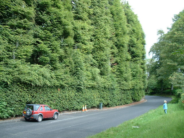
Meikleour Beech Hedges

The Meikleour Beech Hedge(s) (European Beech = Fagus sylvatica), located near Meikleour, Perth and Kinross, Scotland, was planted in the autumn of 1745...

Black Loch (Perth and Kinross)

Black Loch is a small lowland freshwater loch that is located directly to the east of Fingask Loch in the valley of the Lunan Burn and is 1 mile south...

White Loch, Perth and Kinross

White Loch is a small lowland freshwater loch that is located directly to the east of Fingask Loch in the valley of the Lunan Burn and is 1.5 miles south...

Fingask Loch

Fingask Loch is a small lowland freshwater loch that is about three-quarters of a mile from Rae Loch in the valley of the Lunan Burn and is 1.5 miles south...

River Isla, Perthshire

The River Isla (Scottish Gaelic: Abhainn Ìle) is a tributary of the River Tay in Angus and Perthshire, Scotland. It runs for 46 miles (74 km) through the...

Tower of Lethendy

Tower of Lethendy is a 17th-century L-plan tower house, about 3.5 miles (5.6 km) south west of Blairgowrie, Perth and Kinross, Scotland, and about 0.5...

Nearby Amenities

Located within 500m of 56.55,-3.358
Power: pole
Lat/Long: 56.5514905/-3.3508363
Power: pole
Lat/Long: 56.5514575/-3.3520651
Power: pole
Lat/Long: 56.5513002/-3.3532477
Power: pole
Lat/Long: 56.5511264/-3.3544846
Power: pole
Lat/Long: 56.55096/-3.3556998
Power: pole
Lat/Long: 56.5507937/-3.3568769
Power: pole
Lat/Long: 56.5506454/-3.3579915
Power: pole
Lat/Long: 56.5504266/-3.3594596
Power: pole
Lat/Long: 56.5497283/-3.3645079
Power: pole
Lat/Long: 56.5491843/-3.3647363
Power: pole
Lat/Long: 56.5491604/-3.3658645
The data included in this document is from www.openstreetmap.org. The data is made available under ODbL.

Have you been to Cleaven Dyke?

Leave your review of Cleaven Dyke below (or comments, questions and feedback).