Meresborough
Settlement in Kent
England
Meresborough

Meresborough is a picturesque village located in the county of Kent, England. Situated in the southeastern part of the country, it is approximately 50 miles southeast of London. The village is nestled in a serene and idyllic setting, surrounded by rolling hills and lush green countryside.
With a population of around 2,000 residents, Meresborough retains a charming and close-knit community atmosphere. The village features a range of traditional architecture, including historic cottages and a beautiful parish church that dates back to the 13th century. The streets are lined with well-maintained gardens and flowering trees, adding to the village's aesthetic appeal.
Meresborough boasts several amenities and facilities to cater to its residents' needs. There is a local primary school, a village hall, and a few small shops and cafes that provide essential goods and services. The village is also well-connected, with regular bus services to nearby towns and cities.
For those who enjoy outdoor activities, Meresborough offers plenty of opportunities to explore the surrounding natural beauty. There are several walking and cycling trails that wind through the countryside, offering stunning views of the landscape. The nearby River Medway provides a peaceful spot for fishing and boating enthusiasts.
Overall, Meresborough is a tranquil and picturesque village that offers a peaceful escape from the hustle and bustle of city life. Its beautiful surroundings, strong sense of community, and range of amenities make it a desirable place to live or visit for those seeking a slower pace of life.
If you have any feedback on the listing, please let us know in the comments section below.
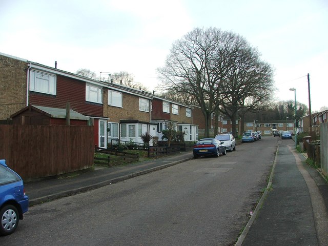
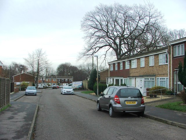
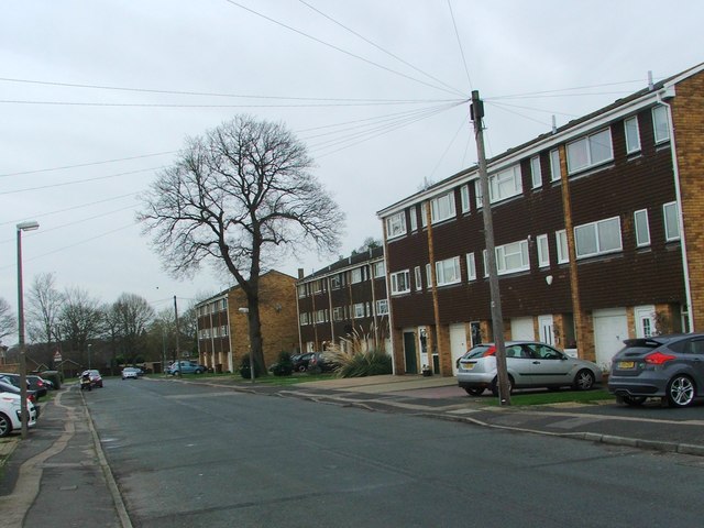
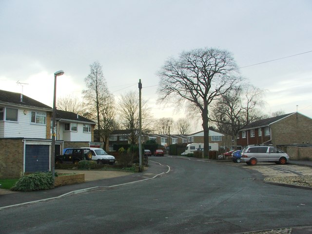
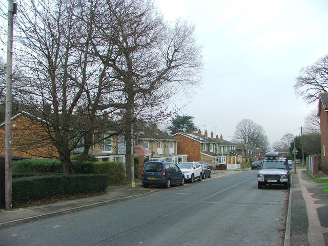
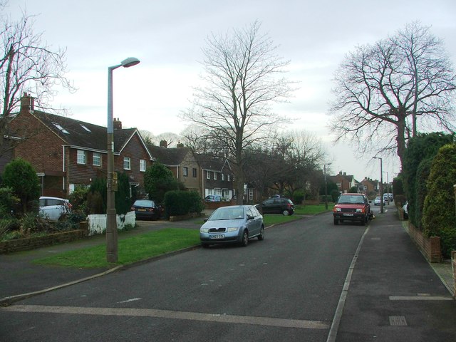
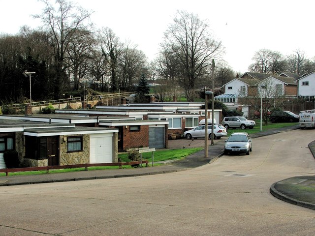
Meresborough Images
Images are sourced within 2km of 51.348077/0.614243 or Grid Reference TQ8264. Thanks to Geograph Open Source API. All images are credited.


Meresborough is located at Grid Ref: TQ8264 (Lat: 51.348077, Lng: 0.614243)
Unitary Authority: Medway
Police Authority: Kent
What 3 Words
///swooned.update.lunges. Near Rainham, Kent
Nearby Locations
Related Wikis

Medway services
Medway is a service area on the M2 motorway south of Medway, near Junction 4 in Kent, southeast England. It is managed by Moto and was previously named...

Foxburrow Wood
Foxburrow Wood is a 6.1-hectare (15-acre) Local Nature Reserve in Rainham in Kent. It is owned and managed by Medway Council.This is a remnant of a much...

Park Wood, Medway
Park Wood or Parkwood is a housing estate and district in Gillingham at the south-eastern corner of the Medway conurbation in Kent, England. It was built...

Rainham, Kent
Rainham ( RAY-nəm) is a town in the unitary authority of Medway, in Kent, South East England. The town forms a conurbation with neighbouring towns Chatham...
Related Videos


#essex #uktravel #uklife #kabayan #pinoytraveler
Ruins of a monastery at Essex.
Nearby Amenities
Located within 500m of 51.348077,0.614243Have you been to Meresborough?
Leave your review of Meresborough below (or comments, questions and feedback).