Merehead

Settlement in Flintshire

Wales

Merehead

Cross roads at Corner Farm Eastbound A495. Road to left goes to Breadon Heath
Cross roads at Corner Farm Credit: John Firth

The requested URL returned error: 429 Too Many Requests

If you have any feedback on the listing, please let us know in the comments section below.
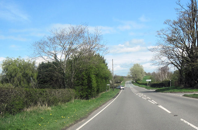
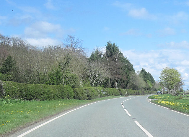
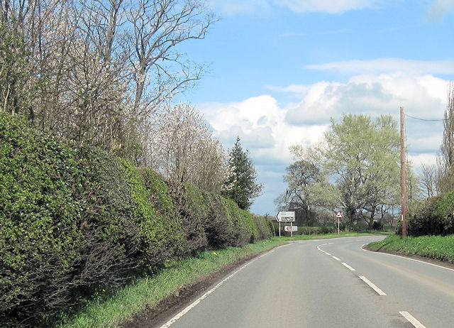
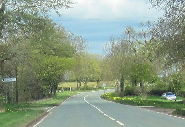
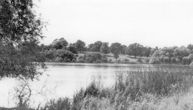
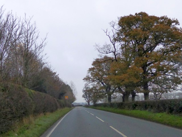
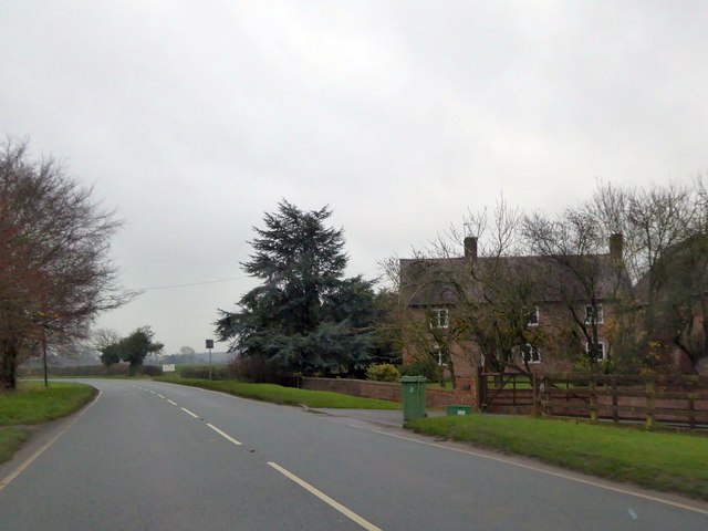
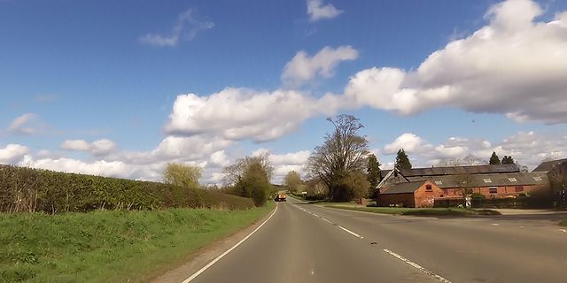
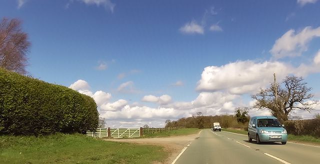
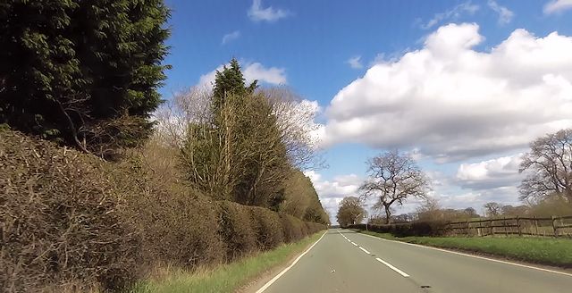
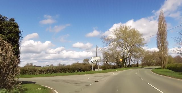
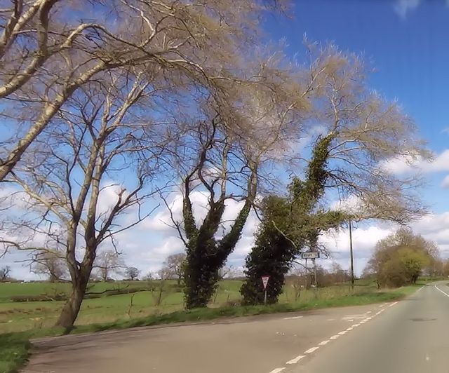
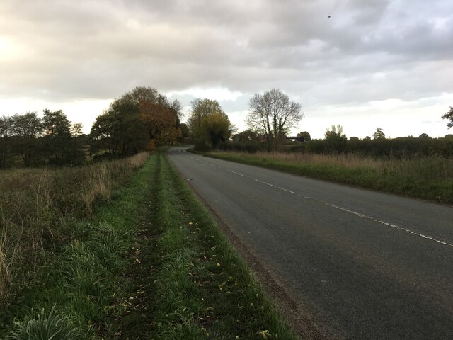
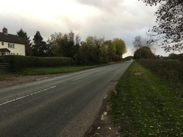
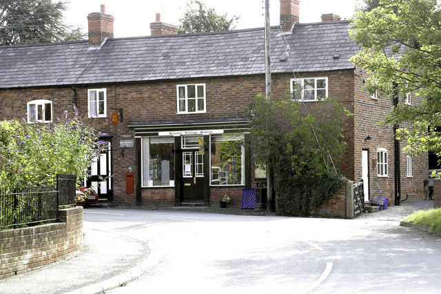
Merehead Images

Images are sourced within 2km of 52.936565/-2.8197764 or Grid Reference SJ4538. Thanks to Geograph Open Source API. All images are credited.

Cross roads at Corner Farm Eastbound A495. Road to left goes to Breadon Heath
Cross roads at Corner Farm
Eastbound A495. Road to left goes to Breadon Heath
Road junction east of Little Hall A495 east
Road junction east of Little Hall
A495 east
New Lane junction with A495 From eastbound A495
New Lane junction with A495
From eastbound A495
Holebrook farm entrance from Moss lane junction A495 eastbound
Holebrook farm entrance from Moss lane junction
A495 eastbound
Bench mark on Hanmer Church This bench mark is on the south west buttress of St Chad's church tower, Hanmer. See also <a href="https://www.geograph.org.uk/photo/3455060">SJ4539 : The west face of St Chad's church tower, Hanmer</a>
Bench mark on Hanmer Church
This bench mark is on the south west buttress of St Chad's church tower, Hanmer. See also SJ4539 : The west face of St Chad's church tower, Hanmer
The west face of St Chad's church tower, Hanmer Looking across the west face of the church tower, with an Ordnance Survey bench mark at the bottom of nearest buttress - see <a href="https://www.geograph.org.uk/photo/3455056">SJ4539 : Bench mark on Hanmer Church</a>
The west face of St Chad's church tower, Hanmer
Looking across the west face of the church tower, with an Ordnance Survey bench mark at the bottom of nearest buttress - see SJ4539 : Bench mark on Hanmer Church
Milestone at Cumber's Bank, near Hanmer This old milestone is on the south west side of the A539 at Cumber's Bank, west of Hanmer. A milestone is recorded at this location on Ordnance Survey maps from 1873, and a bench mark was also indicated up to 1954, but I couldn't see one today - it may be below ground level? The inscription on the plate is Whitchurch 7 Rhuabon 10, which is an unusual spelling of the more usual Ruabon. See also <a href="https://www.geograph.org.uk/photo/3455532">SJ4439 : Milestone at Cumber's Bank, and the A539</a>
Milestone at Cumber's Bank, near Hanmer
This old milestone is on the south west side of the A539 at Cumber's Bank, west of Hanmer. A milestone is recorded at this location on Ordnance Survey maps from 1873, and a bench mark was also indicated up to 1954, but I couldn't see one today - it may be below ground level? The inscription on the plate is Whitchurch 7 Rhuabon 10, which is an unusual spelling of the more usual Ruabon. See also SJ4439 : Milestone at Cumber's Bank, and the A539
Milestone at Cumber's Bank, and the A539 This old milestone is alongside the A539 at Cumber's Bank. The inscription is Whitchurch 7 Rhuabon 10, which is an unusual spelling of Ruabon. For a close up of the plate see <a href="https://www.geograph.org.uk/photo/3455507">SJ4439 : Milestone at Cumber's Bank, near Hanmer</a>
Milestone at Cumber's Bank, and the A539
This old milestone is alongside the A539 at Cumber's Bank. The inscription is Whitchurch 7 Rhuabon 10, which is an unusual spelling of Ruabon. For a close up of the plate see SJ4439 : Milestone at Cumber's Bank, near Hanmer
Hanmer Lake, 1951 View SE near the village, which is off to the right. (Cf. <a href="https://www.geograph.org.uk/photo/223695">SJ4539 : Hanmer Mere</a>).
Hanmer Lake, 1951
View SE near the village, which is off to the right. (Cf. SJ4539 : Hanmer Mere).
A495 passing The Rookery, Bettisfield Park The park, and the woodland named "The Rookery" are on the left.  The trees on that side screen an area of recent planting.
A495 passing The Rookery, Bettisfield Park
The park, and the woodland named "The Rookery" are on the left. The trees on that side screen an area of recent planting.
Lane Farm by the A495
Corner Farm near Breadon Heath
Entrance to Little Hall
A495 passing The Rookery
Junction near Lane Farm
Moss Lane junction
Moss Lane junction
A495 Ellesmere Road towards Bronington
A495 towards Welshampton
Show me another place!

Merehead is located at Grid Ref: SJ4538 (Lat: 52.936565, Lng: -2.8197764)

Unitary Authority: Wrexham

Police Authority: North Wales

What 3 Words

///spenders.orchids.onion. Near Ellesmere, Shropshire

Nearby Locations

New Plantation Merehead

Related Wikis

Hanmer Mere

Hanmer Mere (Welsh: Llyn Hanmer) is a natural lake and Site of Special Scientific Interest in Wrexham County Borough, Wales. The village of Hanmer is at...

Arowry

Arowry (Welsh: Yr Owredd) is a village in the community of Hanmer in the rural south-east of Wrexham County Borough, Wales, near the border with England...

Breaden Heath

Breaden Heath is a small village in Shropshire, England. It lies right on the border with Wales.

Hanmer, Wrexham

Hanmer is a village and community in Wrexham County Borough, Wales. At the 2001 Census the population of the Hanmer community area, which includes Hanmer...

Nearby Amenities

Located within 500m of 52.936565,-2.8197764
The data included in this document is from www.openstreetmap.org. The data is made available under ODbL.

Have you been to Merehead?

Leave your review of Merehead below (or comments, questions and feedback).