Chastleton House
Heritage Site in Oxfordshire West Oxfordshire
England
Chastleton House
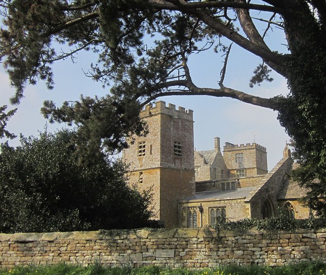
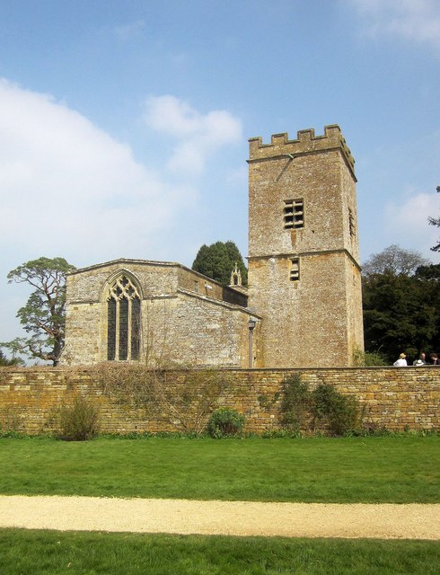
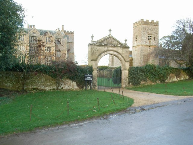
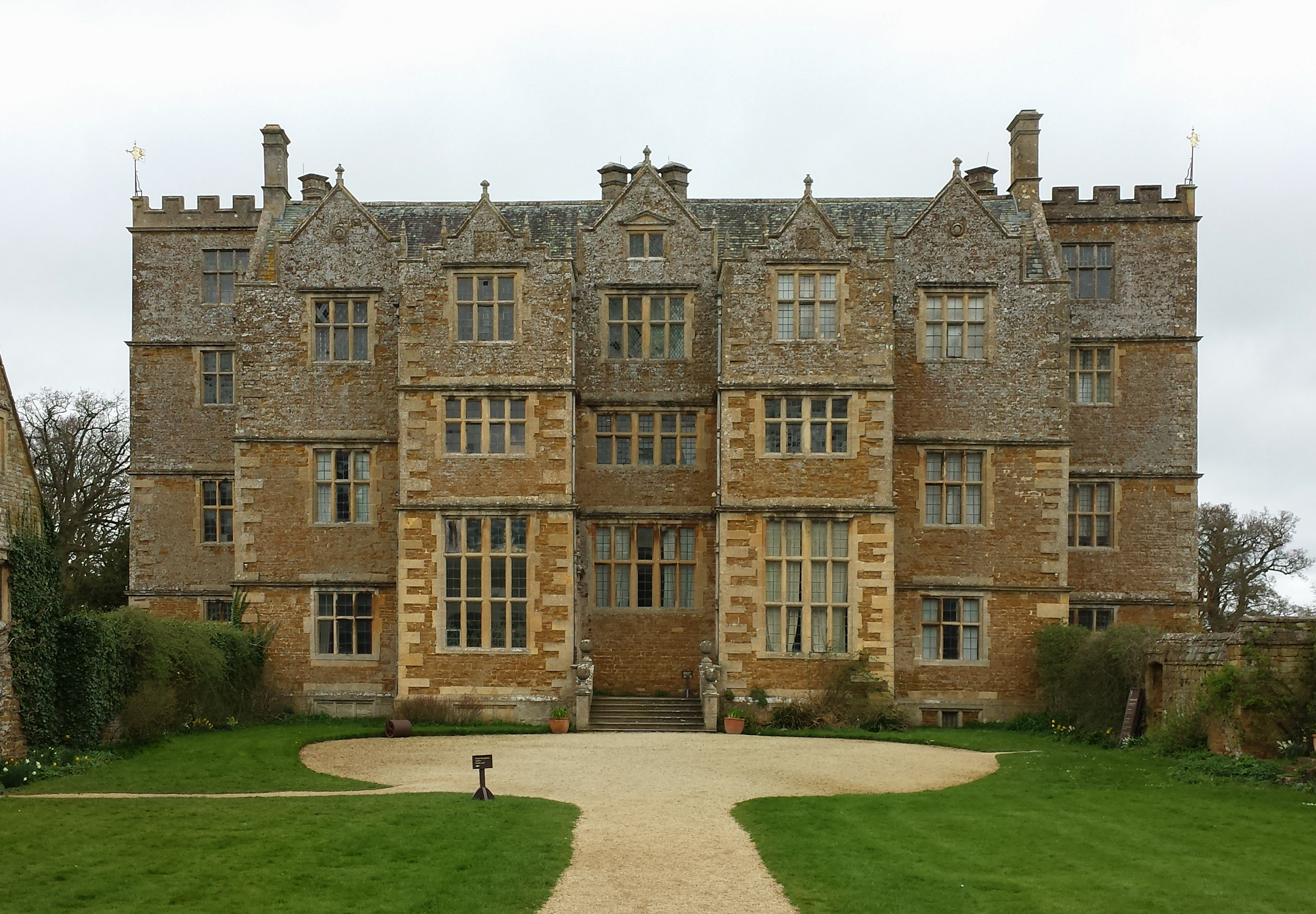
Chastleton House is a renowned heritage site located in the picturesque countryside of Oxfordshire, England. Situated near the village of Chastleton, the house dates back to the early 17th century and is a fine example of Jacobean architecture. It is now owned by the National Trust and open to the public.
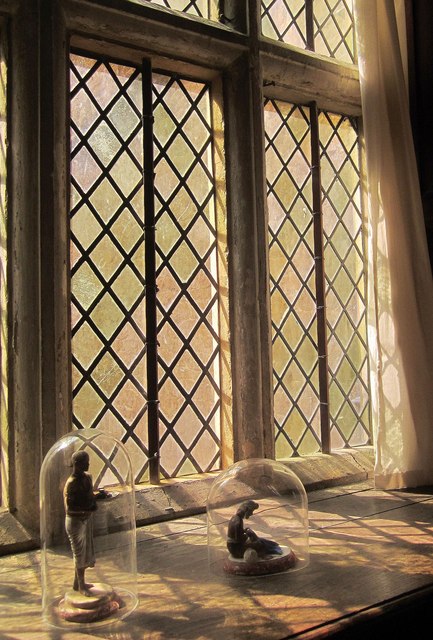
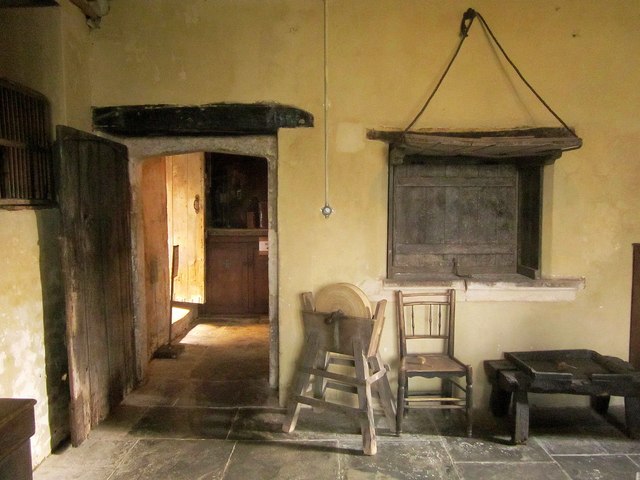
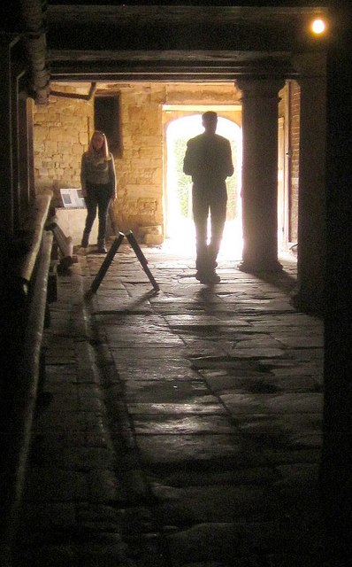
The house is renowned for its well-preserved interiors that give visitors a glimpse into the lifestyle of the gentry during the 17th century. The rooms are filled with original furniture, tapestries, and artwork, providing a unique and authentic experience. The Long Gallery is particularly impressive, with its ornate plasterwork and large collection of portraits.
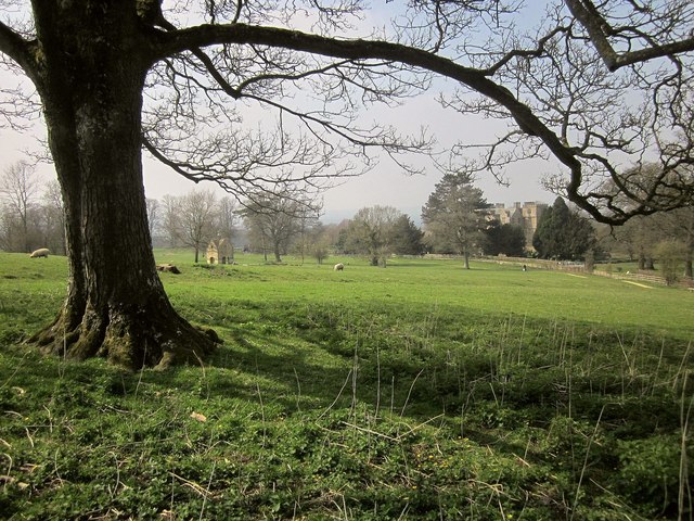
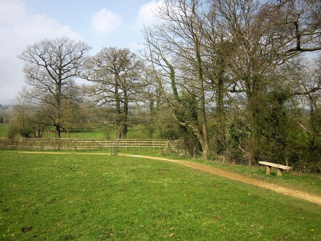
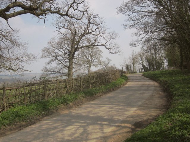
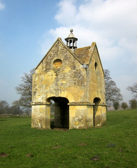
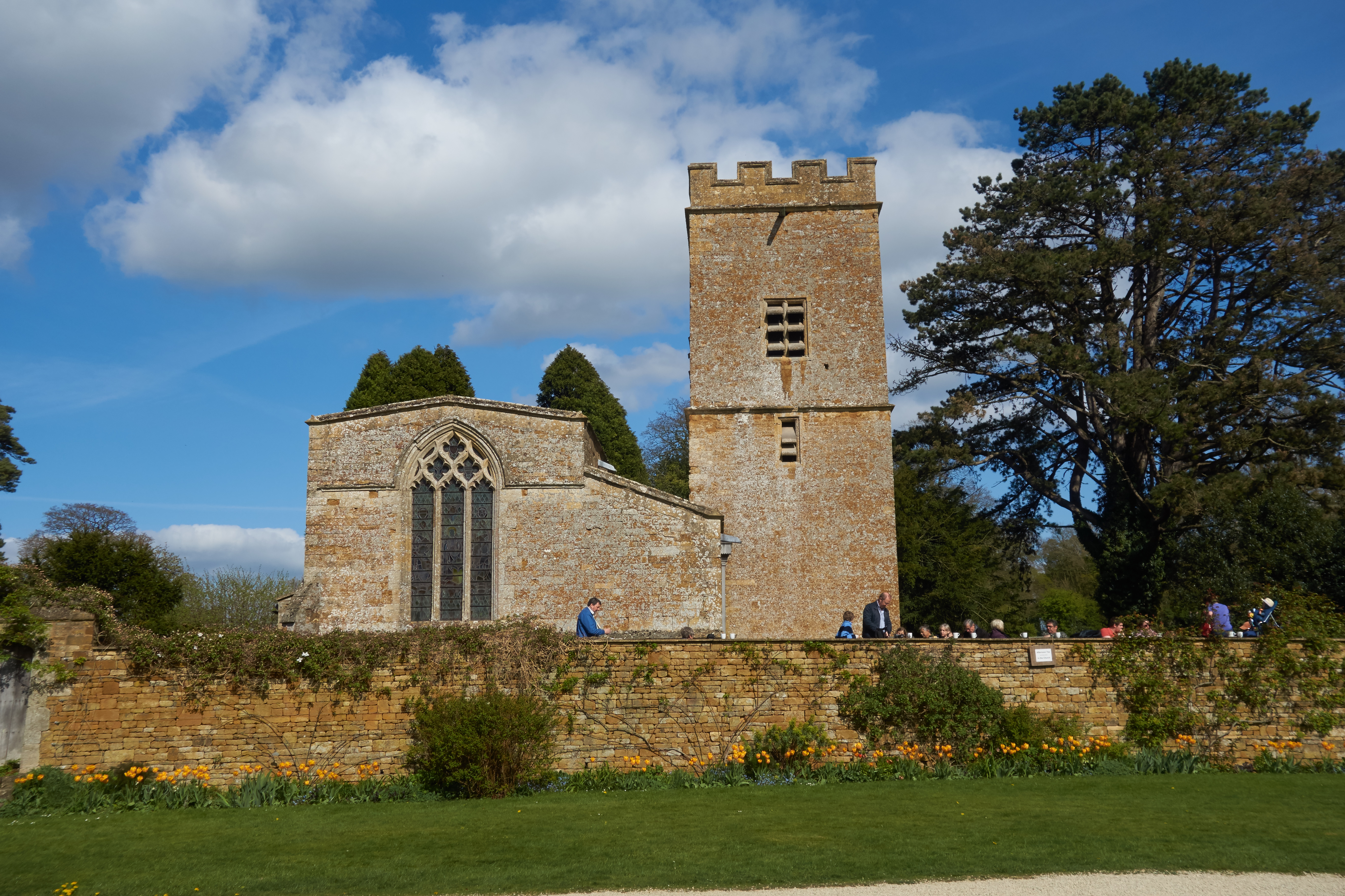
The surrounding gardens and grounds are equally stunning, featuring formal gardens, a topiary, and a beautiful orchard. Visitors can take leisurely strolls through the gardens and enjoy the peaceful ambiance that has remained unchanged for centuries.
Chastleton House has a rich history, having been owned by the same family for over 400 years. It played a significant role in the English Civil War, serving as a garrison for the Royalist forces. The house has witnessed many historical events and has been well-preserved to showcase its unique heritage.
Today, Chastleton House welcomes visitors from all over the world who come to admire its architectural beauty and immerse themselves in its rich history. It offers guided tours, educational programs, and events throughout the year, making it a popular destination for history enthusiasts and those seeking a glimpse into England's past.
If you have any feedback on the listing, please let us know in the comments section below.
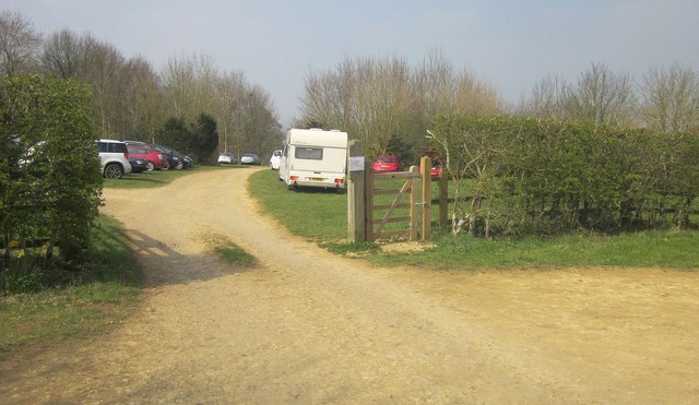
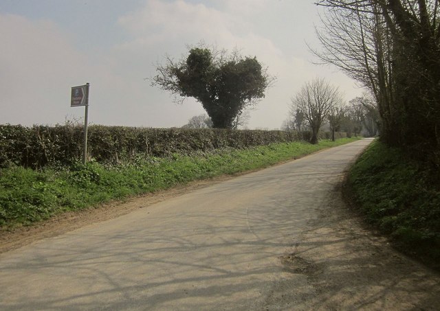
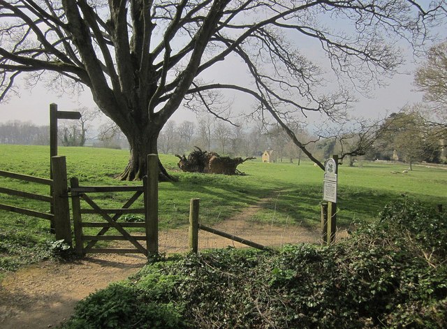
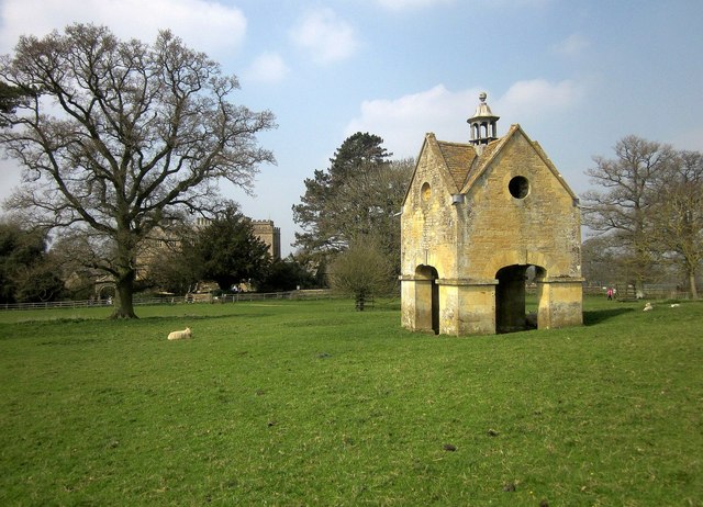
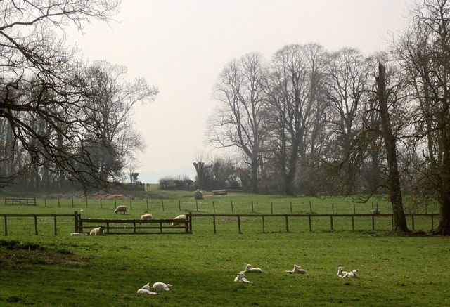
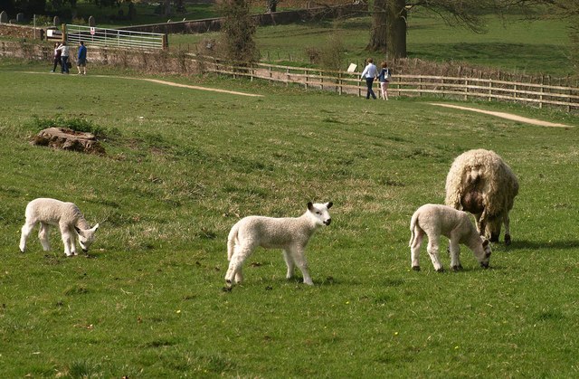
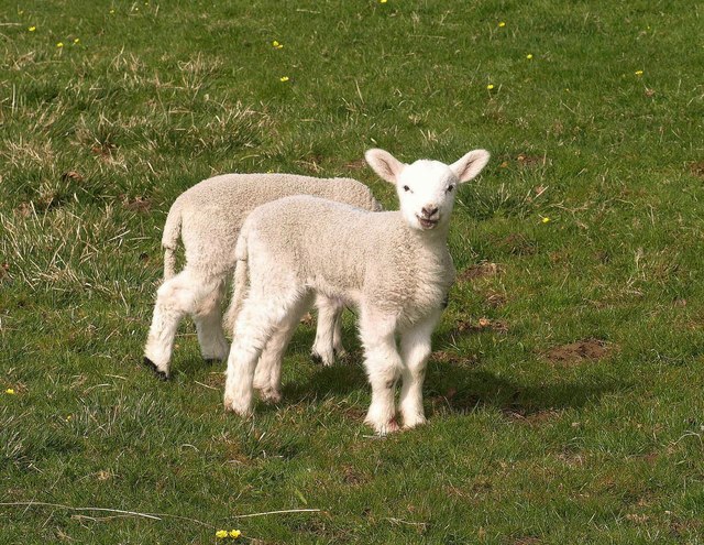
Chastleton House Images
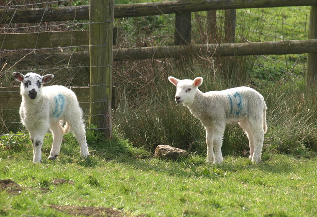
Images are sourced within 2km of 51.96/-1.64 or Grid Reference SP2429. Thanks to Geograph Open Source API. All images are credited.

Chastleton House is located at Grid Ref: SP2429 (Lat: 51.96, Lng: -1.64)
Administrative County: Oxfordshire
District: West Oxfordshire
Police Authority: Thames Valley
What 3 Words
///newsreel.destroyer.spans. Near Moreton in Marsh, Gloucestershire
Nearby Locations
Related Wikis
Chastleton
Chastleton is a village and civil parish in the Cotswold Hills in Oxfordshire, England, about 4 miles (6.4 km) northeast of Stow-on-the-Wold. Chastleton...
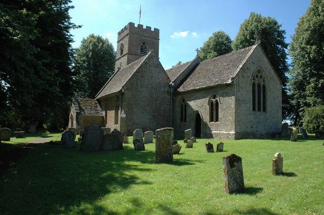
St Mary's Church, Chastleton
The Church of St Mary the Virgin is the Church of England parish church of Chastleton, Oxfordshire, England. It is a parish church in the parish of Little...
Chastleton House
Chastleton House () is a Jacobean country house at Chastleton, Oxfordshire, England, close to Moreton-in-Marsh (grid reference SP2429). It has been owned...

Little Compton, Warwickshire
Little Compton is a village and civil parish in the Stratford-on-Avon district, in south Warwickshire, England, and is located about three miles east of...

Adlestrop
Adlestrop () is a village and civil parish in the Cotswolds, 3 miles (5 km) east of Stow-on-the-Wold, Gloucestershire, England, on the county boundary...
Evenlode
Evenlode is a village and civil parish (ONS Code 23UC051) in the Cotswold District of eastern Gloucestershire in England.Evenlode is bordered by the Gloucestershire...

Daylesford House
Daylesford House is a Georgian country house near Daylesford, Gloucestershire, England, on the north bank of the River Evenlode near the border with Oxfordshire...
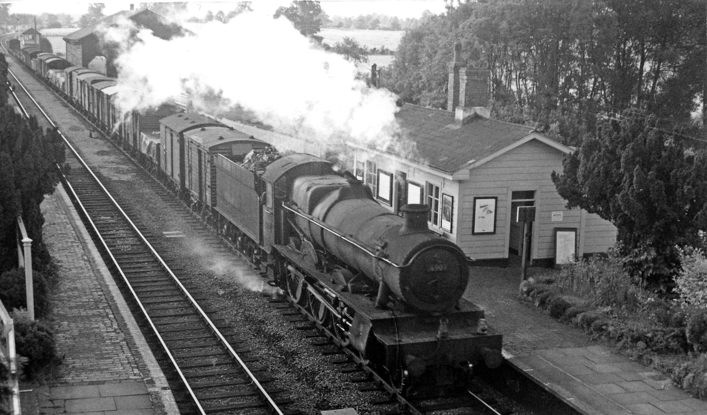
Adlestrop railway station
Adlestrop railway station was a railway station which served the village of Adlestrop in Gloucestershire, England, between 1853 and 1966. It was on what...
Nearby Amenities
Located within 500m of 51.96,-1.64Have you been to Chastleton House?
Leave your review of Chastleton House below (or comments, questions and feedback).