Catrail
Heritage Site in Roxburghshire
Scotland
Catrail
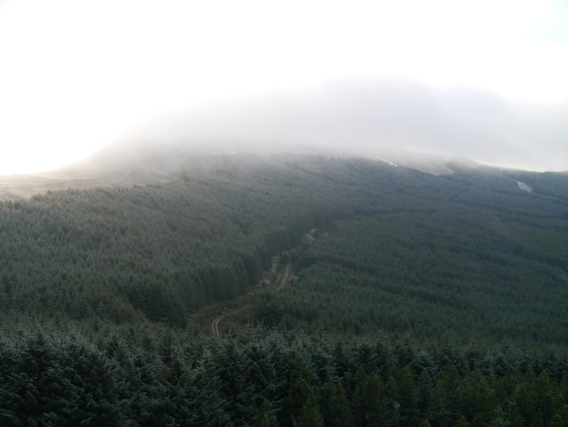
Catrail, located in Roxburghshire, is a historic heritage site that holds great significance in Scotland. Also known as the Picts' Work Ditch or Graham's Dyke, Catrail is an ancient earthwork that stretches for approximately 48 miles across the rolling countryside of the Scottish Borders.
Believed to have been constructed around the 6th century AD, Catrail is a complex system of banks, ditches, and mounds. It is thought to have served as a territorial boundary or defensive structure during the early medieval period. The earthwork varies in height and width, with some sections reaching up to 6 feet high and 12 feet wide.
The exact purpose and builders of Catrail remain a mystery, adding to its allure and intrigue. Some theories suggest that it was built by the Picts, an ancient Celtic people who inhabited the area. Others propose that it may have been created by the Romans or the Anglo-Saxons. Regardless of its origin, Catrail is a testament to the remarkable engineering skills of the time and reflects the historical importance of the region.
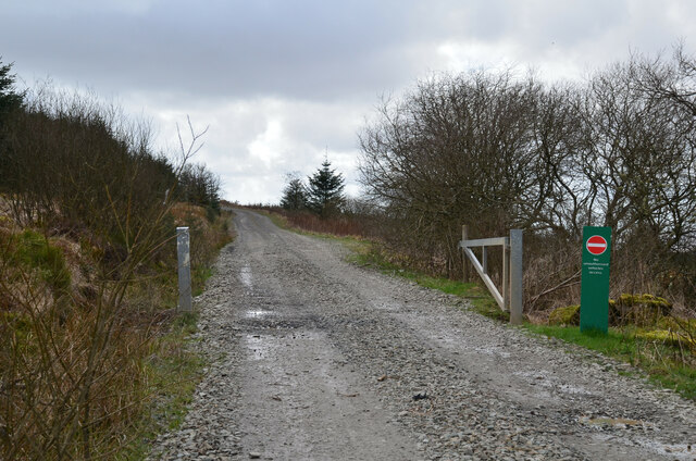
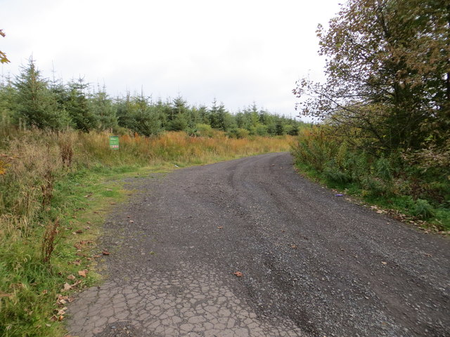
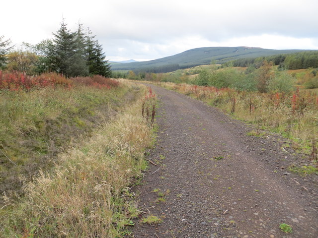
Today, visitors can explore Catrail by following various walking routes that have been established along its course. The earthwork offers breathtaking views of the surrounding landscapes, taking visitors on a journey through centuries of Scottish history. Its location amidst picturesque countryside adds to the charm of the site, attracting both history enthusiasts and nature lovers alike.
Catrail, Roxburghshire, stands as a remarkable testament to Scotland's ancient past, offering visitors a unique glimpse into the region's rich cultural heritage.
If you have any feedback on the listing, please let us know in the comments section below.
Catrail Images
Images are sourced within 2km of 55.313/-2.763 or Grid Reference NT5102. Thanks to Geograph Open Source API. All images are credited.


Catrail is located at Grid Ref: NT5102 (Lat: 55.313, Lng: -2.763)
What 3 Words
///unstated.think.acids. Near Teviothead, Scottish Borders
Nearby Locations
Related Wikis
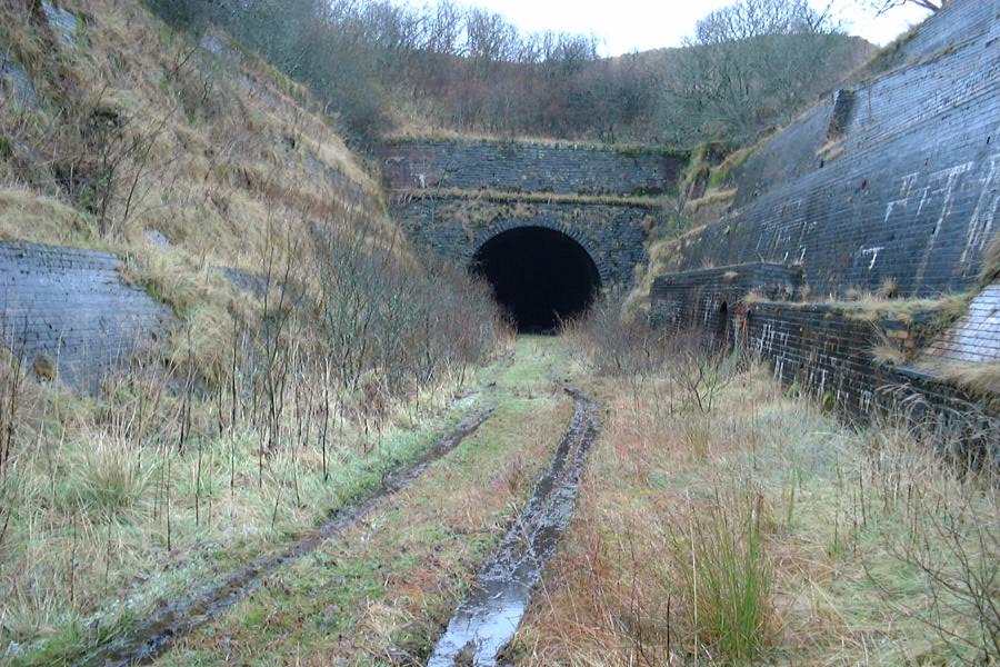
Whitrope Tunnel
The Whitrope Tunnel is a disused railway tunnel in the Scottish Borders, situated 12 miles (19 km) south of Hawick on the Waverley Route, close to Whitrope...

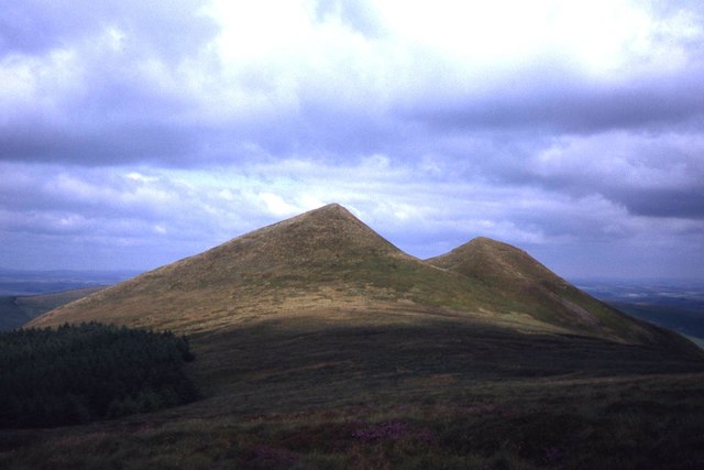
Maiden Paps (Hawick)
The Maiden Paps are twin hills near Hawick, in the Scottish Borders of the south east of Scotland, so named because they have the shape of human breasts...
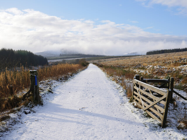
Whitrope
Whitrope is a densely forested, but sparsely populated area, high in the Southern Upland hills in the south central Scottish Borders in the former county...

Waverley Route Heritage Association
Waverley Route Heritage Association is a heritage railway group involved with the history, heritage and preservation of the Waverley Route, based/centred...
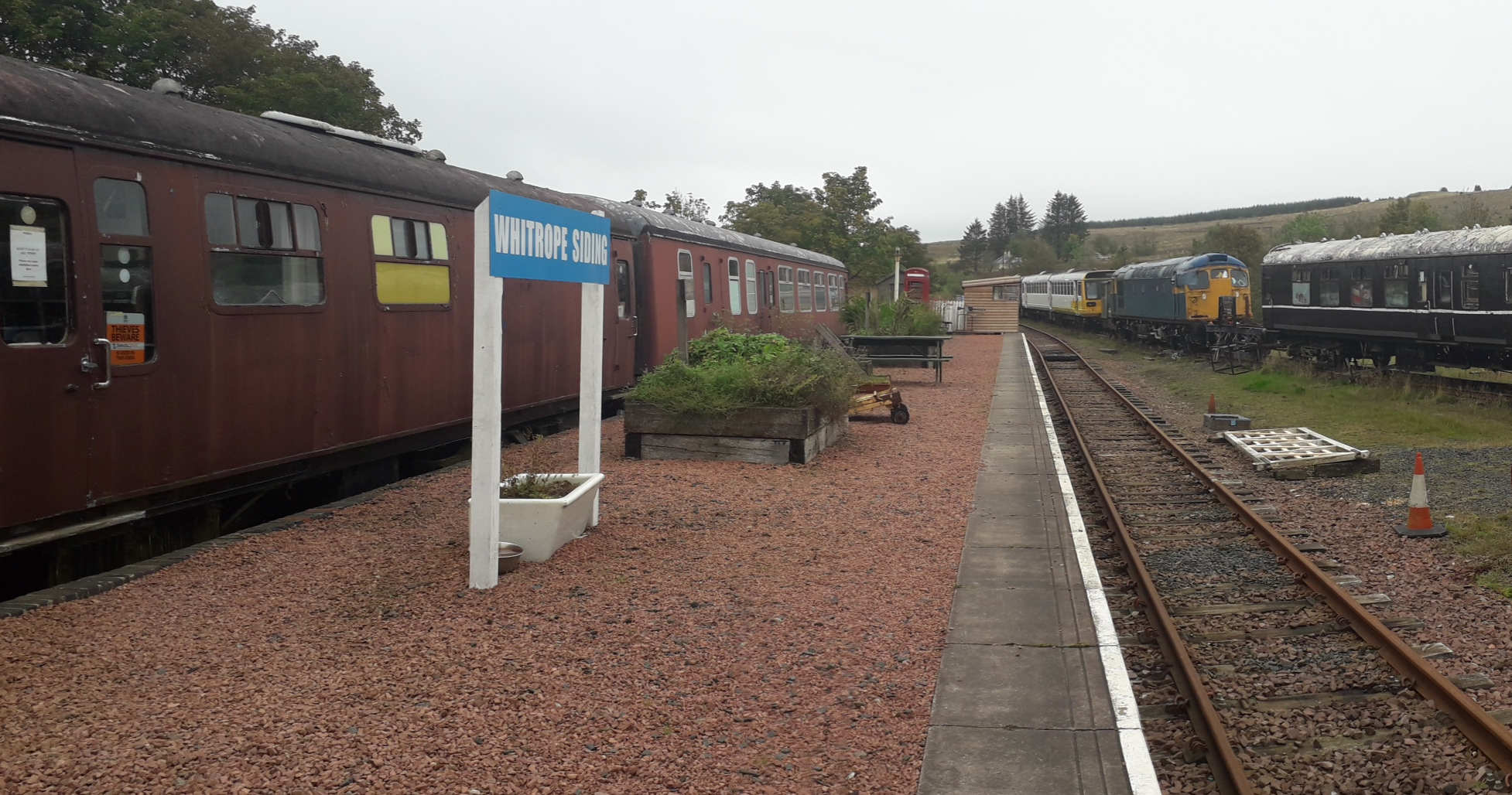
Whitrope Siding
Whitrope Siding was a trailing short siding or spur off the "up" (southbound) line, an associated trailing cross-over between up and down lines, a pair...

Shankend railway station
Shankend railway station served the hamlet of Shankend, Scottish Borders, Scotland from 1862 to 1969 on the Border Union Railway. == History == The station...

Shankend
Shankend Manor was a sixteenth-century mansion located some six miles (ten kilometres) south of Hawick, close to Whitrope Siding in Scotland. It was constructed...

Ninestane Rig
Ninestane Rig (English: Nine Stone Ridge) is a small stone circle in Scotland near the English border. Located in Roxburghshire, near to Hermitage Castle...
Have you been to Catrail?
Leave your review of Catrail below (or comments, questions and feedback).