Achadh na Cairidh
Settlement in Inverness-shire
Scotland
Achadh na Cairidh

Achadh na Cairidh, also known as Achinderran, is a small rural settlement located in the county of Inverness-shire in the Scottish Highlands. Situated approximately 10 miles southeast of the town of Tain, this picturesque village is surrounded by stunning natural beauty and offers a peaceful and tranquil environment for residents and visitors alike.
The name Achadh na Cairidh translates to "field of the weir" in Gaelic, which reflects the village's historical connection to fishing. In the past, the local river was a popular spot for salmon fishing, attracting anglers from far and wide. Today, while the fishing industry has declined, the village still retains its charming rural character.
Achadh na Cairidh is home to a small population, with a few scattered houses and farms dotting the landscape. The community is tight-knit and known for its friendly and welcoming atmosphere. The village is served by a primary school, providing education for local children.
The surrounding area offers numerous outdoor activities for nature enthusiasts. Achinderran Forest, located nearby, provides ample opportunities for hiking, cycling, and wildlife spotting. The picturesque coastline boasts beautiful sandy beaches and rugged cliffs, perfect for coastal walks and birdwatching.
Despite its remote location, Achadh na Cairidh is within reach of amenities and services. The town of Tain, with its shops, restaurants, and healthcare facilities, is a short drive away. Additionally, Inverness, the regional capital, is approximately 35 miles to the southwest, offering a wider range of amenities and transport links.
In summary, Achadh na Cairidh is a charming rural village in Inverness-shire, known for its beautiful natural surroundings and close-knit community. It offers a peaceful retreat for those seeking a slower pace of life and a connection to the stunning Scottish Highlands.
If you have any feedback on the listing, please let us know in the comments section below.
Achadh na Cairidh Images
Images are sourced within 2km of 56.946393/-5.001617 or Grid Reference NN1787. Thanks to Geograph Open Source API. All images are credited.


Achadh na Cairidh is located at Grid Ref: NN1787 (Lat: 56.946393, Lng: -5.001617)
Unitary Authority: Highland
Police Authority: Highlands and Islands
Also known as: Achnacarry
What 3 Words
///devalued.skylights.under. Near Gairlochy, Highland
Nearby Locations
Related Wikis
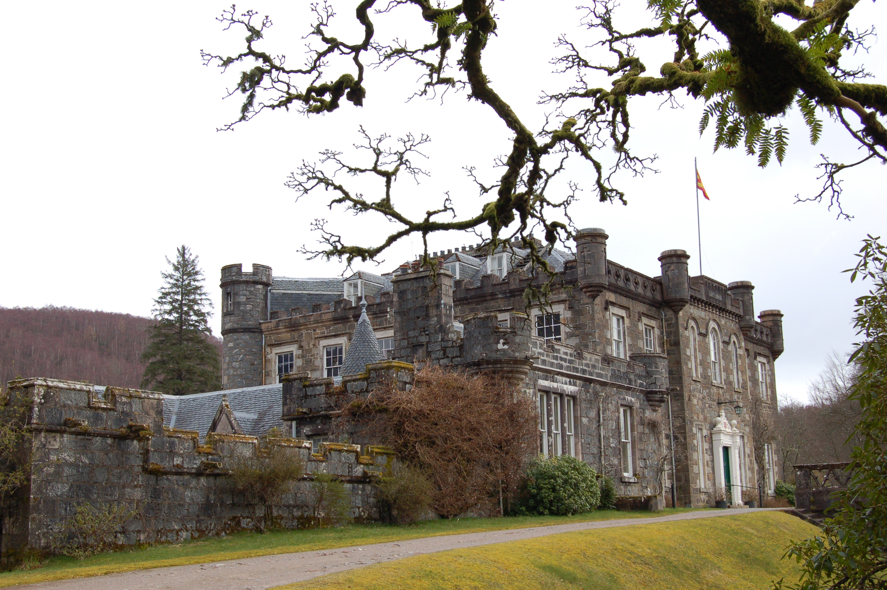
Achnacarry
Achnacarry (Scottish Gaelic: Achadh na Cairidh) is a hamlet, private estate, and a castle in the Lochaber region of the Highlands, Scotland. It occupies...
Commando Basic Training Centre (United Kingdom)
The Commando Basic Training Centre was a British Army training establishment primarily for the training of British Commandos during the Second World War...
Stand-off at the Fords of Arkaig
The Stand-off at the Ford of Arkaig occurred in September 1665 at Achnacarry, about 10 miles (16 km) northeast of Fort William, Scotland. The Chattan Confederation...
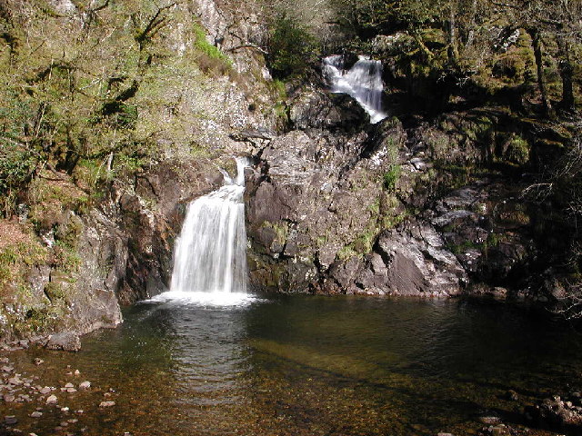
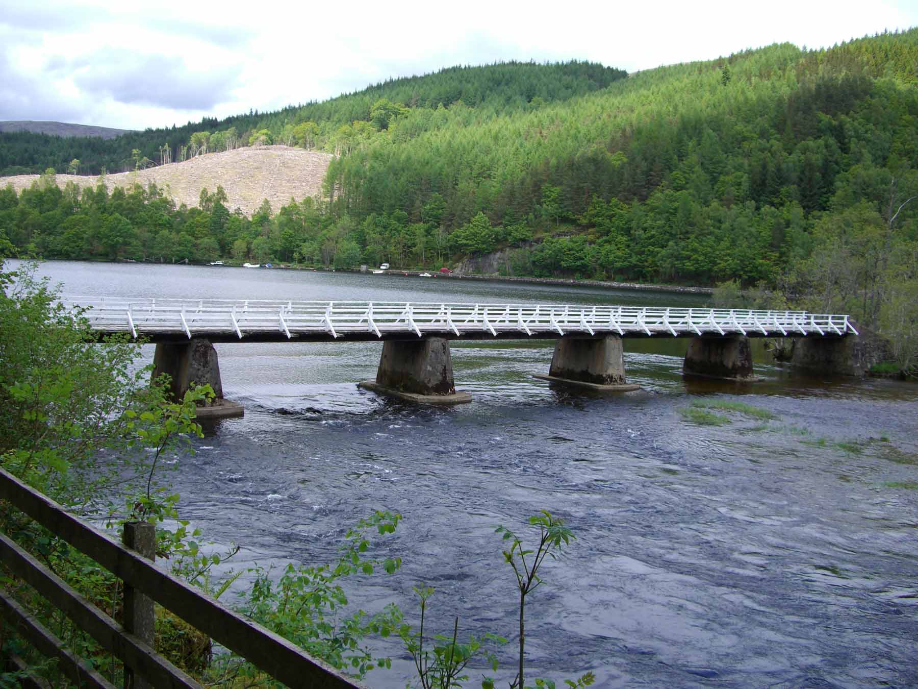
Eas Chia-aig
Eas Chia-aig is a waterfall on the Abhainn Chia-aig, in the Highlands of Scotland. The falls are located between Loch Lochy and Loch Arkaig, near Achnacarry...
Nearby Amenities
Located within 500m of 56.946393,-5.001617Have you been to Achadh na Cairidh?
Leave your review of Achadh na Cairidh below (or comments, questions and feedback).