Castle Hill

Heritage Site in Huntingdonshire Huntingdonshire

England

Castle Hill

Station Road, Kimbolton
Station Road, Kimbolton Credit: David Howard

Castle Hill, situated in the district of Huntingdonshire, is a significant heritage site in the United Kingdom. This ancient earthwork, located near the village of Somersham, holds immense historical and cultural value.

The site encompasses a well-preserved motte and bailey castle, dating back to the Norman period. The motte, a large mound of earth, was constructed as a defensive structure, topped with a wooden or stone keep. The bailey, an enclosed courtyard, housed various domestic and administrative buildings.

Castle Hill played a crucial role in the local history, serving as a strategic stronghold during the medieval period. It is believed to have been built by William the Conqueror following the Norman Conquest of England in 1066. The castle served as a defensive fortification, guarding the surrounding landscape and offering protection to the local population.

Today, the site offers visitors a glimpse into the past, with its remarkable earthworks and remnants of the castle's foundations. The motte, standing at an impressive height, provides panoramic views of the surrounding countryside. The bailey area, now a grassy enclosure, offers a tranquil setting for visitors to explore and learn about the castle's history.

Castle Hill is a protected heritage site, managed by local authorities and conservation organizations. Excavations and research have been conducted to uncover more information about its past, shedding light on the lives of its inhabitants and the architectural techniques used during the Norman era.

In conclusion, Castle Hill in Huntingdonshire is a historically significant site, providing an insight into the medieval period and the architectural prowess of the Normans. It stands as a testament to the rich heritage of the region and offers visitors a chance to immerse themselves in the past.

If you have any feedback on the listing, please let us know in the comments section below.
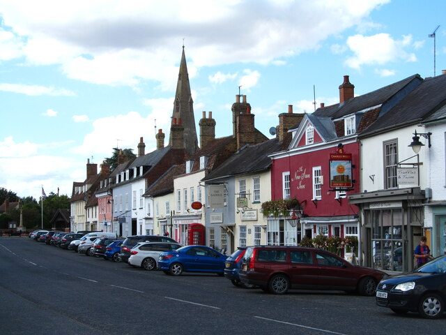
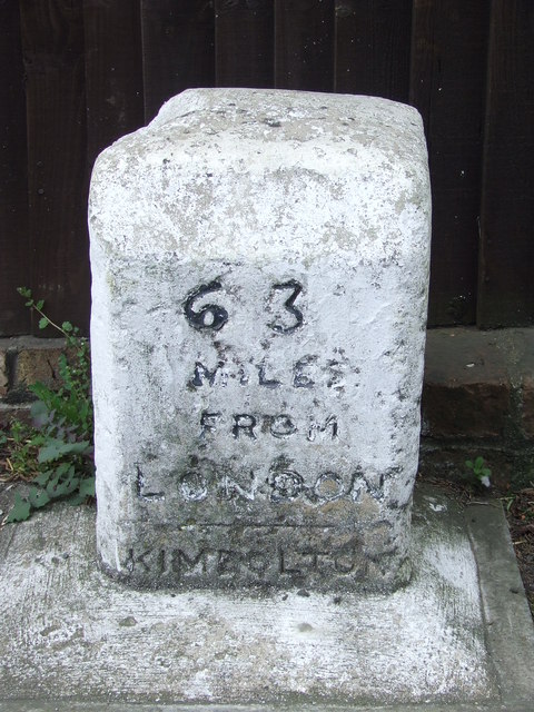
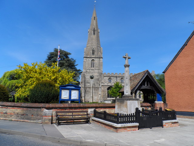
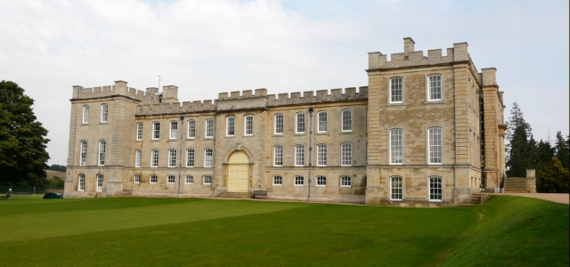
Castle Hill Images

Images are sourced within 2km of 52.293/-0.393 or Grid Reference TL0967. Thanks to Geograph Open Source API. All images are credited.

Station Road, Kimbolton
Kimbolton High Street Wide main street lined with an attractive array of buildings. The spire of St Andrew's Church can be seen over the rooftops.
Kimbolton High Street
Wide main street lined with an attractive array of buildings. The spire of St Andrew's Church can be seen over the rooftops.
Kimbolton Road, Pertenhall You're not going anywhere today.
Kimbolton Road, Pertenhall
You're not going anywhere today.
Old Milepost Old milepost on the B645 at Kimbolton, Cambridgeshire. For overall view see <a title="https://www.geograph.org.uk/photo/2879583" href="https://www.geograph.org.uk/photo/2879583">Link</a>
Old Milepost
Old milepost on the B645 at Kimbolton, Cambridgeshire. For overall view see Link
63 Miles From London Old milepost on the B645 at Kimbolton, Cambridgeshire. For close up view see <a title="https://www.geograph.org.uk/photo/2879578" href="https://www.geograph.org.uk/photo/2879578">Link</a>
63 Miles From London
Old milepost on the B645 at Kimbolton, Cambridgeshire. For close up view see Link
St Andrew's church, Kimbolton
Ordnance Survey Flush Bracket S8592 This can be found on the wall of Kimbolton Prep School in Tillbrook Road.
For more detail see : <span class="nowrap"><a title="http://www.bench-marks.org.uk/bm9714" rel="nofollow ugc noopener" href="http://www.bench-marks.org.uk/bm9714">Link</a><img style="margin-left:2px;" alt="External link" title="External link - shift click to open in new window" src="https://s1.geograph.org.uk/img/external.png" width="10" height="10"/></span>
Ordnance Survey Flush Bracket S8592
This can be found on the wall of Kimbolton Prep School in Tillbrook Road. For more detail see : LinkExternal link
Kimbolton High Street
St. Andrew's church Kimbolton
Kimbolton Looking along the High Street towards Kimbolton School. This was once the A45 (the principal Midlands - East Anglia route) and was a serious bottleneck, especially at the eastern end of the High Street where road negotiates a series of tight narrow bends. Today the road has been downgraded to the B645 (long-distance traffic is now routed via the A14, a few miles to the north) and as a result Kimbolton is a much more peaceful place. The attractive architecture, selection of small shops and pleasant pubs give the village an olde-world atmosphere.
Kimbolton
Looking along the High Street towards Kimbolton School. This was once the A45 (the principal Midlands - East Anglia route) and was a serious bottleneck, especially at the eastern end of the High Street where road negotiates a series of tight narrow bends. Today the road has been downgraded to the B645 (long-distance traffic is now routed via the A14, a few miles to the north) and as a result Kimbolton is a much more peaceful place. The attractive architecture, selection of small shops and pleasant pubs give the village an olde-world atmosphere.
Solitary tree From the  B660
Solitary tree
From the B660
Kimbolton west B645 looking east
Kimbolton west
B645 looking east
Kimbolton prep school
Bridleway at Wood End View NNE.
Bridleway at Wood End
View NNE.
Bottom of Bustard Hill
Footpath heading to Honeyhill Wood Well worn tracked footpath heading to Honeyhill Wood
Footpath heading to Honeyhill Wood
Well worn tracked footpath heading to Honeyhill Wood
Clock in Kimbolton Very old and usual clock on the side of a house on the back street in Kimbolton
Clock in Kimbolton
Very old and usual clock on the side of a house on the back street in Kimbolton
Kimbolton fire station Kimbolton fire station, Thrapston Road, Kimbolton, Cambridgeshire
Kimbolton fire station
Kimbolton fire station, Thrapston Road, Kimbolton, Cambridgeshire
Show me another place!

Castle Hill is located at Grid Ref: TL0967 (Lat: 52.293, Lng: -0.393)

Administrative County: Cambridgeshire

District: Huntingdonshire

Police Authority: Cambridgeshire

What 3 Words

///contents.defends.obtain. Near Kimbolton, Cambridgeshire

Related Wikis

Kimbolton School

Kimbolton School is a British HMC co-educational private boarding and day school in the village of Kimbolton, Cambridgeshire, England. There are 1000...

Kimbolton Castle

Kimbolton Castle is a country house in Kimbolton, Cambridgeshire, England. It was the final home of King Henry VIII's first wife, Catherine of Aragon....

Kimbolton, Cambridgeshire

Kimbolton is a town and civil parish in the Huntingdonshire district of Cambridgeshire, England. Kimbolton is about 9 miles (14 km) west of Huntingdon...

Stonely

Stonely is a hamlet next to Kimbolton in Cambridgeshire, England. It is part of the parish of Kimbolton and Stonely. The hamlet was formerly the site...

Nearby Amenities

Located within 500m of 52.293,-0.393
Power: pole
Lat/Long: 52.2910499/-0.3873525
Tree: yes
Lat/Long: 52.2918532/-0.3980773
Tree: yes
Lat/Long: 52.2921616/-0.3971973
Tree: yes
Lat/Long: 52.2929755/-0.3944185
Tree: yes
Lat/Long: 52.2923521/-0.3935549
Tree: yes
Lat/Long: 52.2921323/-0.39363
School
Kimbolton School
Addr Postcode: PE28 0EA
Wheelchair: limited
Wikidata: Q6410016
Lat/Long: 52.2952109/-0.3880375
Addr Housenumber: 1
Addr Postcode: PE28 0HB
Addr Street: High Street
Lat/Long: 52.2965097/-0.3886401
Addr Housenumber: 3
Addr Postcode: PE28 0HB
Addr Street: High Street
Lat/Long: 52.2965556/-0.3887112
The data included in this document is from www.openstreetmap.org. The data is made available under ODbL.

Have you been to Castle Hill?

Leave your review of Castle Hill below (or comments, questions and feedback).