Kimbolton Park
Downs, Moorland in Huntingdonshire Huntingdonshire
England
Kimbolton Park
Kimbolton Park is a picturesque estate located in Huntingdonshire, England. Spread across a vast expanse of land, the park encompasses diverse landscapes including downs and moorland. With an area of approximately 1000 acres, it offers a serene and tranquil atmosphere for visitors to enjoy.
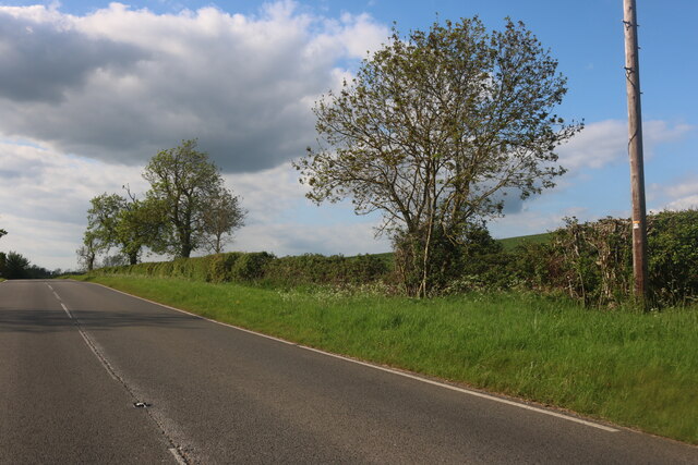
The downs in Kimbolton Park are characterized by rolling hills and open grasslands, providing breathtaking panoramic views of the surrounding countryside. Visitors can take leisurely walks or hikes along the well-maintained trails, immersing themselves in the beauty of nature. The downs are also home to a variety of flora and fauna, making it a haven for nature enthusiasts and birdwatchers.
The moorland in Kimbolton Park presents a different landscape altogether. Covered in heather and moss, it offers a unique ecosystem with its own distinct charm. Visitors can explore the moors on foot or by bike, taking in the rugged beauty of the terrain. The moorland is home to various wildlife species, including deer and rabbits, adding to the allure of the area.
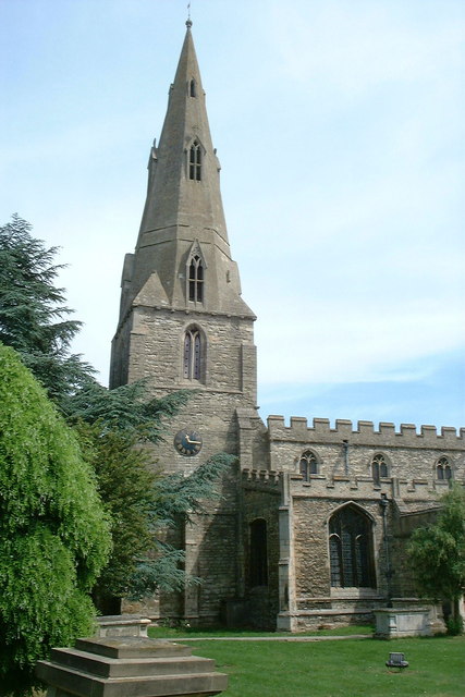
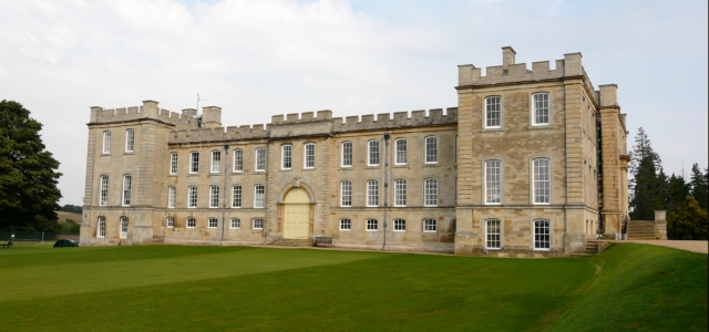
Kimbolton Park is not only known for its natural beauty but also for its rich history. The estate features a stately home, Kimbolton Castle, which was once the residence of Catherine of Aragon, the first wife of King Henry VIII. The castle now serves as a private school, but visitors can still admire its grandeur from the outside.
In conclusion, Kimbolton Park offers a diverse range of landscapes, including downs and moorland, making it a haven for nature lovers and history enthusiasts alike. Its scenic beauty, coupled with its historical significance, makes it a must-visit destination in Huntingdonshire.
If you have any feedback on the listing, please let us know in the comments section below.
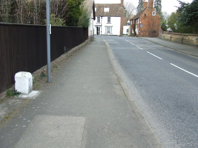
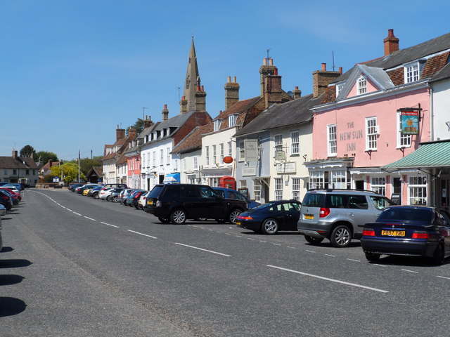
Kimbolton Park Images
Images are sourced within 2km of 52.292191/-0.3925057 or Grid Reference TL0967. Thanks to Geograph Open Source API. All images are credited.


Kimbolton Park is located at Grid Ref: TL0967 (Lat: 52.292191, Lng: -0.3925057)
Administrative County: Cambridgeshire
District: Huntingdonshire
Police Authority: Cambridgeshire
What 3 Words
///juggler.durations.modern. Near Kimbolton, Cambridgeshire
Nearby Locations
Related Wikis
Kimbolton School
Kimbolton School is a British HMC co-educational private boarding and day school in the village of Kimbolton, Cambridgeshire, England. There are 1000...

Kimbolton Castle
Kimbolton Castle is a country house in Kimbolton, Cambridgeshire, England. It was the final home of King Henry VIII's first wife, Catherine of Aragon....

Stonely
Stonely is a hamlet next to Kimbolton in Cambridgeshire, England. It is part of the parish of Kimbolton and Stonely. The hamlet was formerly the site...

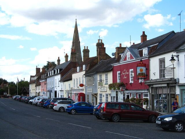
Kimbolton, Cambridgeshire
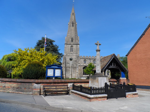
Kimbolton is a town and civil parish in the Huntingdonshire district of Cambridgeshire, England. Kimbolton is about 9 miles (14 km) west of Huntingdon...
Nearby Amenities
Located within 500m of 52.292191,-0.3925057Have you been to Kimbolton Park?
Leave your review of Kimbolton Park below (or comments, questions and feedback).