Castelltreruffydd
Heritage Site in Pembrokeshire
Wales
Castelltreruffydd

Castelltreruffydd is a historic heritage site located in Pembrokeshire, Wales. The site dates back to the 12th century and is considered an important example of medieval architecture in the region. The castle was originally built as a defensive structure, serving as a stronghold for local lords.
The castle is situated on a hilltop, offering commanding views of the surrounding countryside. It consists of a central keep, surrounded by a curtain wall and several towers. The architecture of Castelltreruffydd showcases a combination of Norman and Welsh influences, reflecting the complex history of the region.
Over the centuries, the castle underwent various modifications and expansions, reflecting the changing needs and tastes of its occupants. The castle's strategic location made it a key stronghold during several conflicts, including the Wars of Welsh Independence and the English Civil War.
Today, Castelltreruffydd stands as a picturesque ruin, with the remains of its walls and towers still visible. It has been designated as a heritage site, attracting tourists and history enthusiasts from around the world. Visitors can explore the castle grounds, climb the towers, and learn about the site's rich history through informative displays and guided tours.
Castelltreruffydd is not only a testament to the medieval past of Pembrokeshire but also serves as a reminder of the region's architectural and cultural heritage. Its picturesque setting and historical significance make it a must-visit destination for anyone interested in Welsh history and architecture.
If you have any feedback on the listing, please let us know in the comments section below.
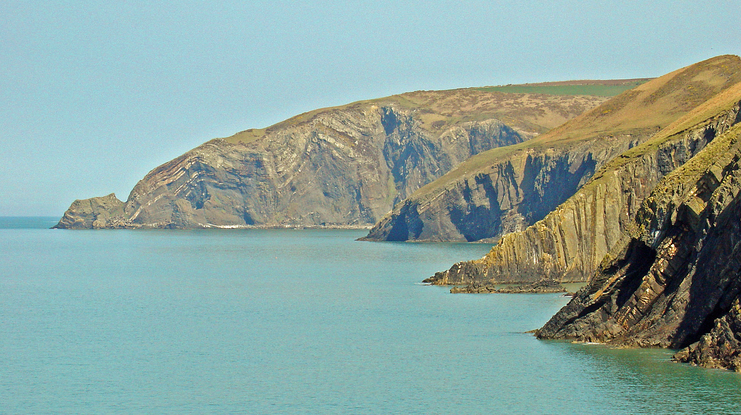
Castelltreruffydd Images
Images are sourced within 2km of 52.067/-4.765 or Grid Reference SN1044. Thanks to Geograph Open Source API. All images are credited.


Castelltreruffydd is located at Grid Ref: SN1044 (Lat: 52.067, Lng: -4.765)
Unitary Authority: Pembrokeshire
Police Authority: Dyfed Powys
What 3 Words
///clearcut.landlords.headset. Near Nevern, Pembrokeshire
Nearby Locations
Related Wikis

Aberarth – Carreg Wylan
Aberarth – Carreg Wylan is a Site of Special Scientific Interest in Ceredigion, west Wales. It is a small coastal marine protected area with a reported...
Moylgrove
Moylgrove (Welsh: Trewyddel), also spelled Moylegrove, is a village and parish in north Pembrokeshire, Wales, about 4 miles (6.4 km) from Cardigan, in...

Ceibwr Bay
Ceibwr Bay (Welsh: Bae Ceibwr) is a bay opening into the Irish Sea in Pembrokeshire, west Wales. It is about 7 km west of Cardigan, and 3 km south of the...

St Dogmells Rural District
St Dogmells was a rural district in the administrative county of Pembrokeshire, Wales from 1894 to 1934. == Formation == The district was created by the...
Nearby Amenities
Located within 500m of 52.067,-4.765Have you been to Castelltreruffydd?
Leave your review of Castelltreruffydd below (or comments, questions and feedback).