Castelltinboeth
Heritage Site in Radnorshire
Wales
Castelltinboeth
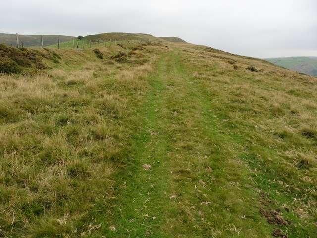
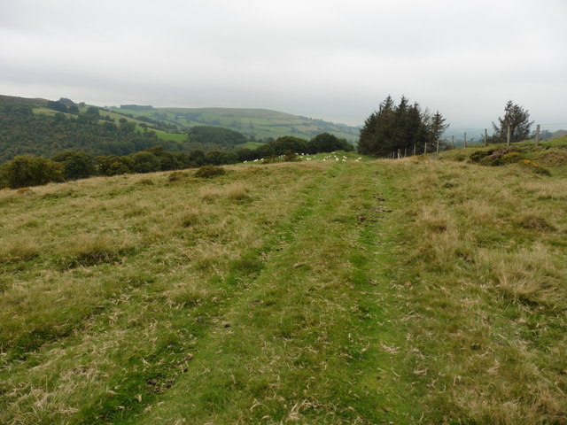
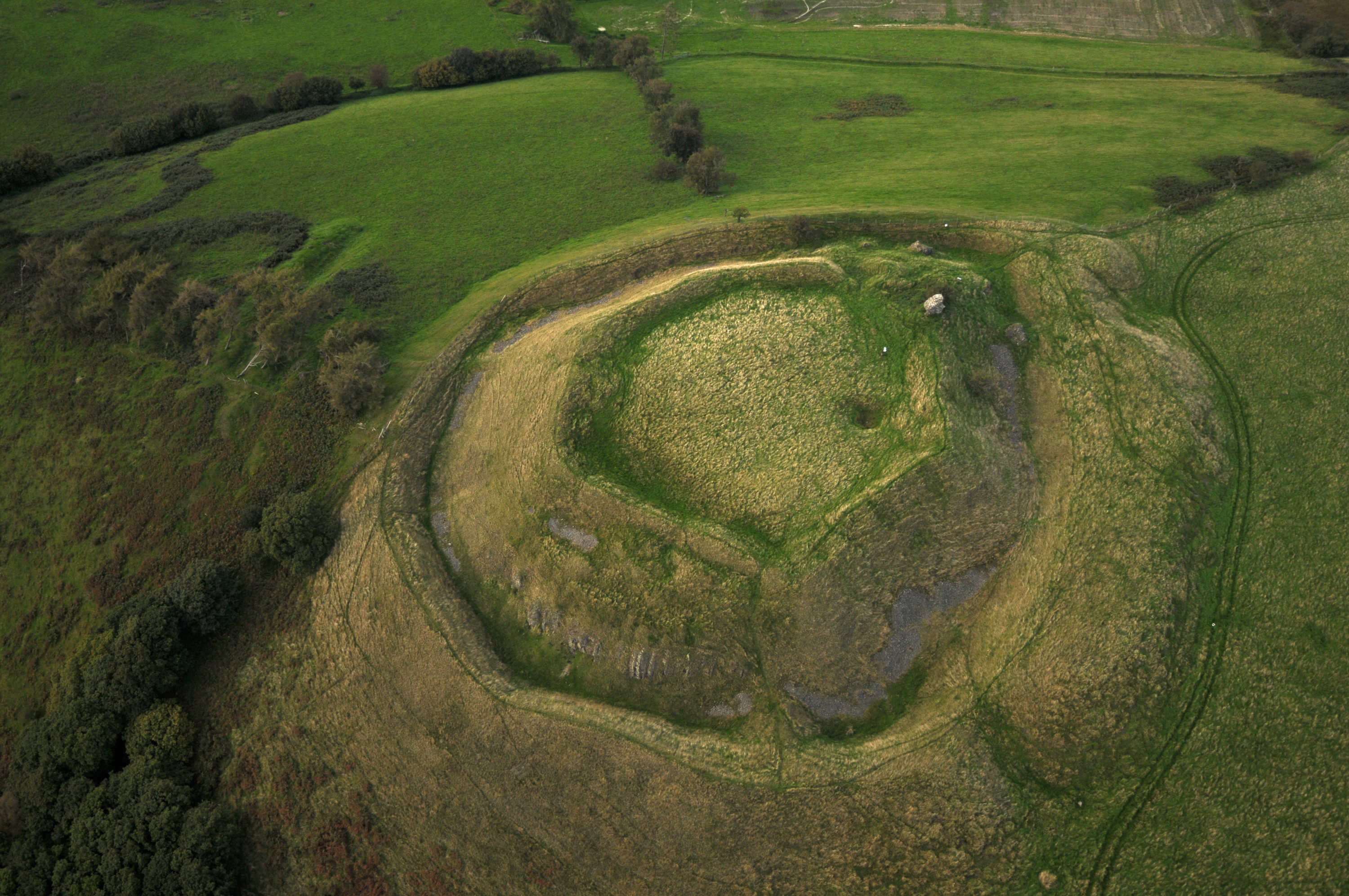
Castelltinboeth, located in Radnorshire, is a historic heritage site that has captivated visitors for centuries. This ancient hillfort, situated on a prominent hilltop, offers breathtaking panoramic views of the surrounding countryside. Its strategic position and impressive remains have made it a significant archaeological site.
The origins of Castelltinboeth date back to the Iron Age, with evidence suggesting that it was first settled around 500 BCE. The site consists of earthworks and defensive ramparts, which enclose an area of approximately 4 acres. These earthworks are a testament to the advanced engineering skills of the ancient inhabitants.
The hillfort's defensive features include a double rampart and ditch system, designed to protect the community from potential threats. The remains of several roundhouses, believed to be residential structures, have also been discovered within the fort's boundaries.
Castelltinboeth's historical value extends beyond its defensive structures. Excavations have revealed an array of artifacts, including pottery shards, iron tools, and animal bones, shedding light on the daily lives of its inhabitants. These findings indicate that the hillfort was a thriving community engaged in agriculture and trade.
Today, the site is managed by the local heritage trust, which has taken great care to preserve its historical significance. Visitors can explore the remains of the hillfort, walking along its ancient walls and experiencing the awe-inspiring views from its vantage point. Interpretive signs provide information about the site's history, allowing visitors to immerse themselves in the life and times of the Iron Age inhabitants.
Castelltinboeth is not only a treasure trove for history enthusiasts but also a place of natural beauty, offering a unique opportunity to step back in time and appreciate the rich heritage of Radnorshire.
If you have any feedback on the listing, please let us know in the comments section below.
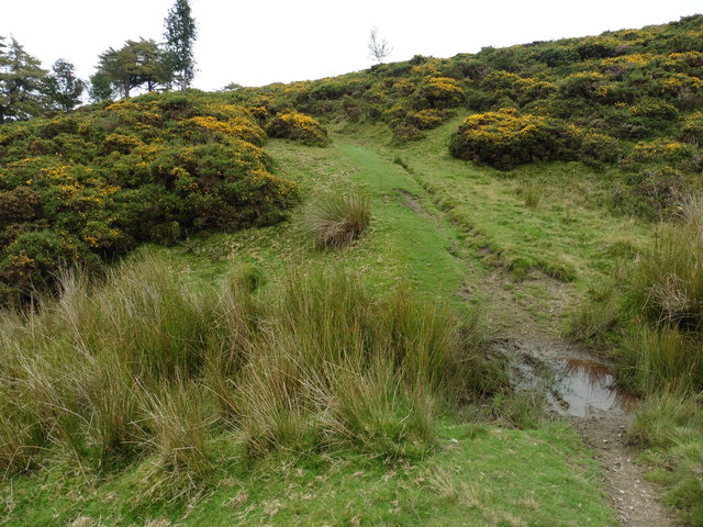
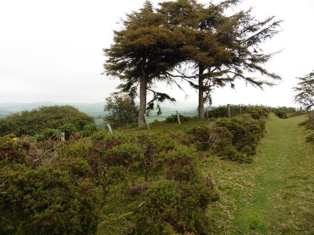
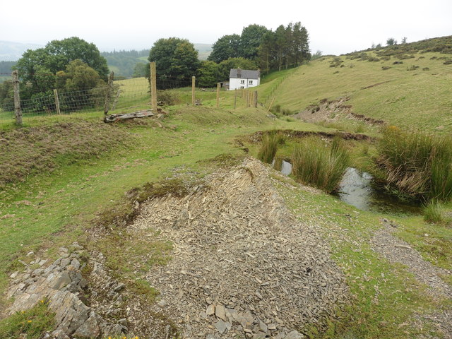
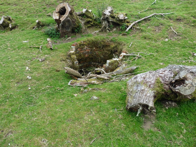
Castelltinboeth Images
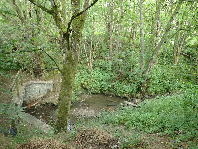
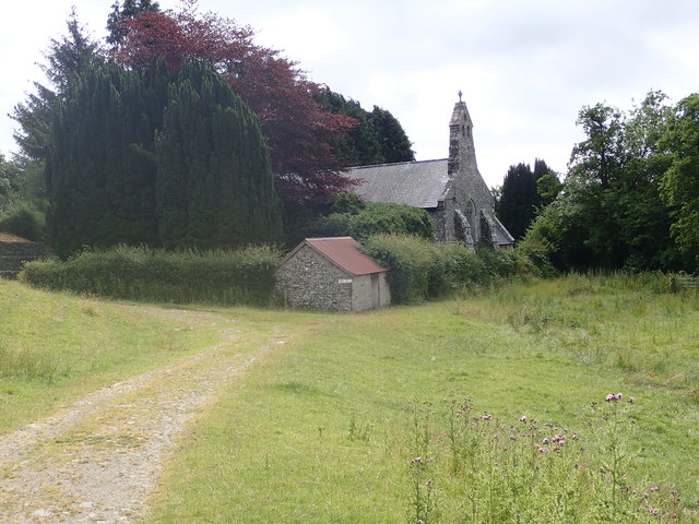
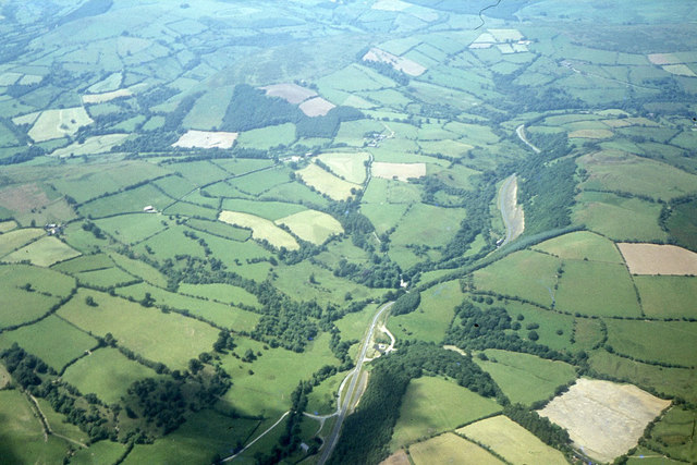
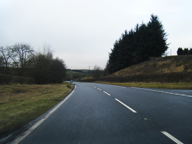
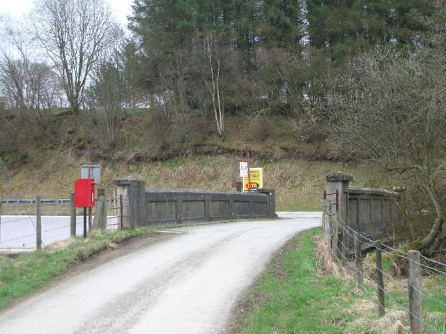
Images are sourced within 2km of 52.37/-3.33 or Grid Reference SO0975. Thanks to Geograph Open Source API. All images are credited.


Castelltinboeth is located at Grid Ref: SO0975 (Lat: 52.37, Lng: -3.33)
Unitary Authority: Powys
Police Authority: Dyfed Powys
What 3 Words
///tedious.euphoric.clotting. Near Penybont, Powys
Nearby Locations
Related Wikis
Tinboeth Castle
Tinboeth Castle (Welsh: Castell Dinbod) was a medieval castle situated midway between Llanbister and Llanbadarn Fynydd in Wales, on a bend in the River...

St Anno's Church, Llananno
The Church of St Anno in Llananno, Powys, Wales, is a redundant church dating from the 14th century. Its medieval rood screen is considered "one of the...

Llanbadarn Fynydd
Llanbadarn Fynydd (meaning Church of Padarn in the mountain) is a village and community in Radnorshire, Powys, Wales, and is 63 miles (101 km) from Cardiff...

Llanbister
Llanbister is a small village and community with a 2011 population of 382 in Powys, mid Wales, in the historic county of Radnorshire. == Facilities... ==
Nearby Amenities
Located within 500m of 52.37,-3.33Have you been to Castelltinboeth?
Leave your review of Castelltinboeth below (or comments, questions and feedback).