Castellmarch

Heritage Site in Caernarfonshire

Wales

Castellmarch

Abersoch Harbour
Abersoch Harbour Credit: Anthony Parkes

Castellmarch, located in Caernarfonshire, is a renowned heritage site that holds significant historical and cultural importance. This ancient fortress stands proudly atop a hill, overlooking the picturesque landscape of North Wales. Believed to have been built during the late 12th century, Castellmarch has witnessed centuries of Welsh history unfold within its sturdy walls.

The castle's architecture showcases a mix of Norman and Welsh influences, with its imposing stone walls and sturdy towers. The site provides a captivating glimpse into medieval military strategies, with its strategic location offering commanding views of the surrounding countryside. Visitors can explore the various sections of the castle, including the impressive keep, which served as both a residence and a stronghold.

Stepping inside Castellmarch, visitors are transported back in time, as they wander through the remains of the great hall, the chapel, and the inner and outer baileys. The castle's rich history is further brought to life through informative displays and exhibitions, showcasing artifacts discovered on-site. Visitors can also learn about the castle's role in regional conflicts and its connection to Welsh legends and folklore.

The site's natural surroundings provide a serene ambiance, with verdant fields and rolling hills stretching as far as the eye can see. Additionally, the castle's proximity to the charming town of Caernarfon offers visitors the chance to explore the local culture and enjoy traditional Welsh cuisine.

Castellmarch stands as a testament to Wales' storied past, offering an immersive experience for history enthusiasts and casual visitors alike. Its position as a heritage site ensures its preservation for future generations to appreciate and marvel at the rich tapestry of Welsh history it represents.

If you have any feedback on the listing, please let us know in the comments section below.
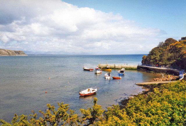
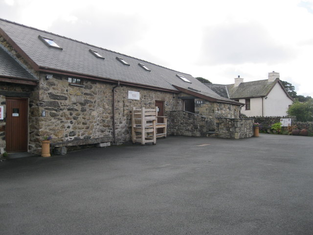
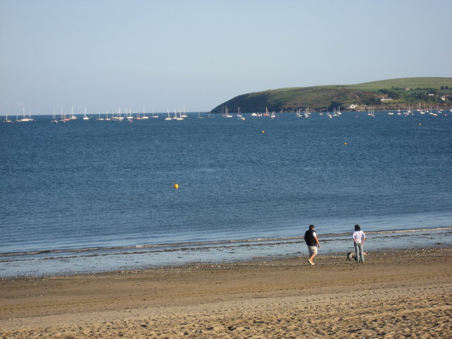
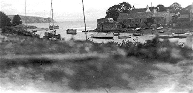
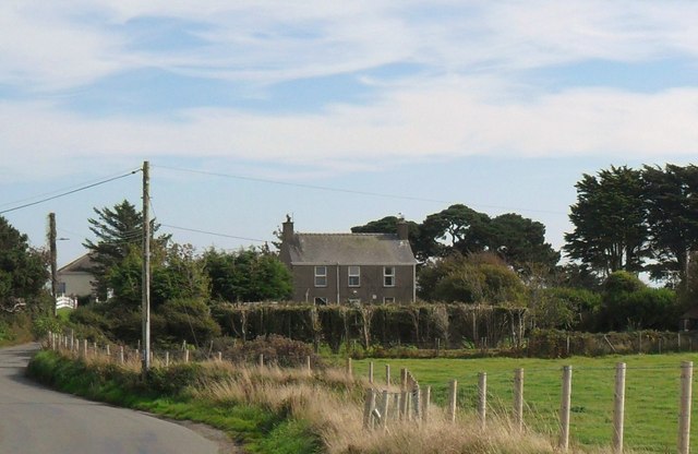
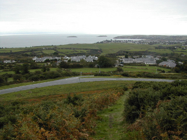
Castellmarch Images

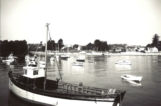
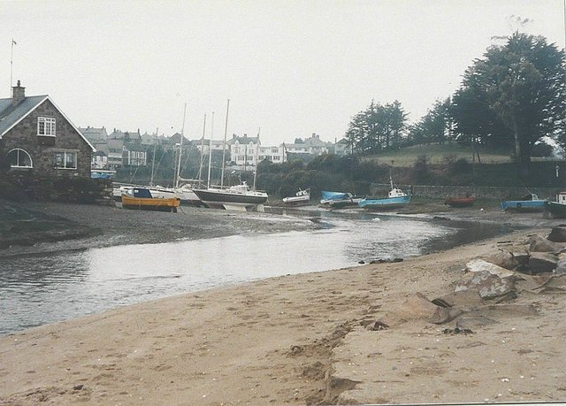
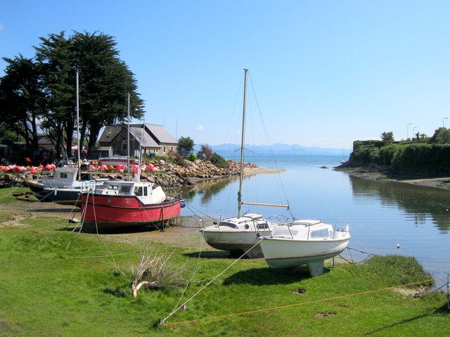
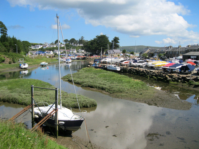
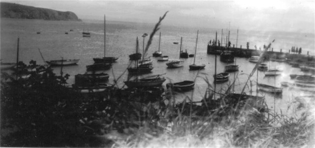
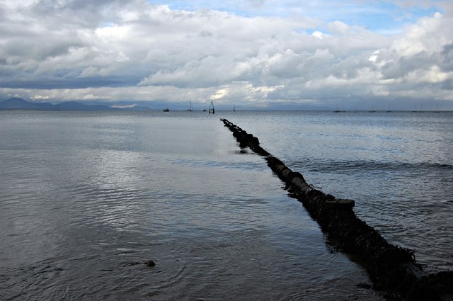
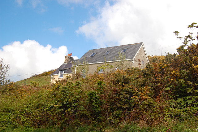
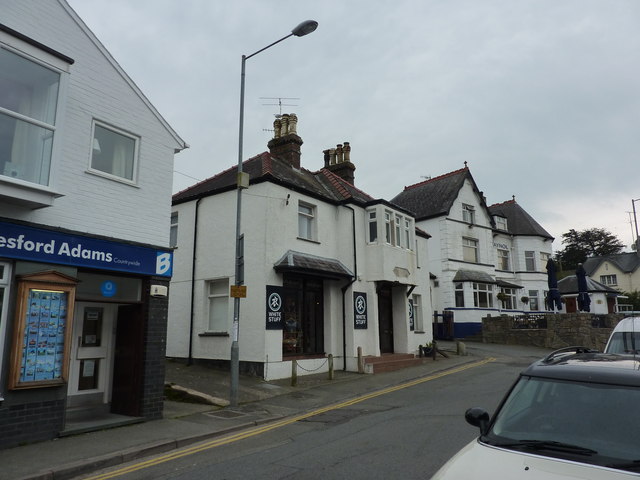
Images are sourced within 2km of 52.837/-4.502 or Grid Reference SH3129. Thanks to Geograph Open Source API. All images are credited.

Abersoch Harbour
Abersoch Harbour
The harbour, Abersoch in 1987 The Harbour Hotel <a title="https://www.geograph.org.uk/photo/638147" href="https://www.geograph.org.uk/photo/638147">Link</a> is the white painted building in the middle of the view
The harbour, Abersoch in 1987
The Harbour Hotel Link is the white painted building in the middle of the view
Inner harbour, Abersoch The tidal Afon Soch winds through the town of Abersoch, where various leisure craft are moored.
Inner harbour, Abersoch
The tidal Afon Soch winds through the town of Abersoch, where various leisure craft are moored.
Inner harbour, Abersoch The inner harbour, viewed from the bridge over the Afon Soch at high water.
Inner harbour, Abersoch
The inner harbour, viewed from the bridge over the Afon Soch at high water.
Abersoch harbour c1956 Abersoch harbour before commercialisation.
Abersoch harbour c1956
Abersoch harbour before commercialisation.
Outfall pipe at Abersoch Evening in Abersoch, looking along the pipe out into St Tudwal's Road, with the mountains of mid-Wales in the distance.
Outfall pipe at Abersoch
Evening in Abersoch, looking along the pipe out into St Tudwal's Road, with the mountains of mid-Wales in the distance.
Former chapel, Llangian On the OS map it is shown as having a spire - presumably replaced by the house attachment when it was converted to a dwelling.
Former chapel, Llangian
On the OS map it is shown as having a spire - presumably replaced by the house attachment when it was converted to a dwelling.
Former Police Station Now a clothing shop,White Stuff, on Lon Pen Cei.
Former Police Station
Now a clothing shop,White Stuff, on Lon Pen Cei.
Abersoch harbour Looking east to the small jetty and boat launching ramp. Snowdonia in the far distance.
Abersoch harbour
Looking east to the small jetty and boat launching ramp. Snowdonia in the far distance.
Antur Aberuchaf A craft centre.
Antur Aberuchaf
A craft centre.
Dodrefn mawr - Large furniture Outside Wild Wood, one of the units at <a href="https://www.geograph.org.uk/photo/3040761">SH3128 : Antur Aberuchaf</a>
Dodrefn mawr - Large furniture
Outside Wild Wood, one of the units at SH3128 : Antur Aberuchaf
Chalet living Could be anywhere in the world; in fact it is the Llyn Peninsula, Wales.
Chalet living
Could be anywhere in the world; in fact it is the Llyn Peninsula, Wales.
The Warren Beach Postcard perfect strolling along one of the most beautiful beaches in Wales
The Warren Beach
Postcard perfect strolling along one of the most beautiful beaches in Wales
Abersoch Inner Harbour Photo c1956, Fishing village in North Wales, on St. Tudwal's Bay, Lleyn Peninsula. Modern similar photos on this site are <a href="https://www.geograph.org.uk/photo/2560139">SH3128 : Inner harbour, Abersoch</a> <a href="https://www.geograph.org.uk/photo/2181168">SH3128 : River Soch Estuary</a> and others.
Abersoch Inner Harbour
Photo c1956, Fishing village in North Wales, on St. Tudwal's Bay, Lleyn Peninsula. Modern similar photos on this site are SH3128 : Inner harbour, Abersoch SH3128 : River Soch Estuary and others.
Main beach at Abersoch in 1960 My parents, family dog and I stayed at Abersoch from 20 August until 3 September. My mother wrote a daily log which detailed that there was a lot of rain during our holiday. There were only a few days when we could sit in the dunes backing onto this beach but the log recorded that 27 August was a most beautiful day, so I have chosen this for the view.  We were staying at <a href="https://www.geograph.org.uk/photo/3312472">SH3027 : The Manor Hotel, Abersoch in 1960</a>.
Main beach at Abersoch in 1960
My parents, family dog and I stayed at Abersoch from 20 August until 3 September. My mother wrote a daily log which detailed that there was a lot of rain during our holiday. There were only a few days when we could sit in the dunes backing onto this beach but the log recorded that 27 August was a most beautiful day, so I have chosen this for the view. We were staying at SH3027 : The Manor Hotel, Abersoch in 1960.
Part buried beach huts near Abersoch These will need some serious bucket and spade work before they can be used!
Part buried beach huts near Abersoch
These will need some serious bucket and spade work before they can be used!
Bryn Cethin
Bryn Cethin
Former Independent Chapel, Abersoch The chapel is now a tourist information office.
Former Independent Chapel, Abersoch
The chapel is now a tourist information office.
Show me another place!

Castellmarch is located at Grid Ref: SH3129 (Lat: 52.837, Lng: -4.502)

What 3 Words

///youths.heartburn.marble. Near Pwllheli, Gwynedd

Nearby Locations

Castellmarch Tywyn-y-Fach

Related Wikis

Afon Soch

The Afon Soch is a short river on the Llŷn peninsula, Gwynedd, Wales. It arises to the north of the village of Sarn Meyllteyrn, through which it then flows...

Abersoch

Abersoch (Welsh pronunciation: [abɛrˈsoːχ]) is a village in the community of Llanengan in Gwynedd, Wales. It is a popular coastal seaside resort, with...

Mynytho

Mynytho is a small village in the parish of Llanengan near the southern coast of the Llŷn Peninsula in northwestern Wales. It consists of a few houses...

Mynydd Tir y Cwmwd

Mynydd Tir y Cwmwd (The Headland) is an area of about 175 acres (708,000 m2) in north Wales to the south of the village of Llanbedrog. From the top of...

Nearby Amenities

Located within 500m of 52.837,-4.502
Created By: dmgroom_coastlines
Source: PGS
Lat/Long: 52.8330314/-4.499892
Created By: dmgroom_coastlines
Source: PGS
Lat/Long: 52.8337139/-4.4993741
Created By: dmgroom_coastlines
Source: PGS
Lat/Long: 52.8347488/-4.4986011
Created By: dmgroom_coastlines
Source: PGS
Lat/Long: 52.835534/-4.497434
Created By: dmgroom_coastlines
Source: PGS
Lat/Long: 52.836315/-4.496404
Created By: dmgroom_coastlines
Source: PGS
Lat/Long: 52.836446/-4.496196
Created By: dmgroom_coastlines
Source: PGS
Lat/Long: 52.837094/-4.495584
Created By: dmgroom_coastlines
Source: PGS
Lat/Long: 52.837879/-4.4947601
Tourism: caravan_site
Lat/Long: 52.8331269/-4.5048847
Post Box
Note: Interesting reference number!
Old Ref: Warren 128
Operator: Royal Mail
Survey: By visit
Lat/Long: 52.8396855/-4.4987324
Power: pole
Source: bing
Lat/Long: 52.8347884/-4.5076065
Power: pole
Source: bing
Lat/Long: 52.8349115/-4.508324
Power: pole
Source: bing
Lat/Long: 52.8358205/-4.5090374
Power: pole
Source: bing
Lat/Long: 52.8366023/-4.508273
Power: pole
Source: bing
Lat/Long: 52.8371832/-4.5077781
Power: portal
Source: bing
Lat/Long: 52.8387678/-4.5045233
Power: pole
Source: bing
Lat/Long: 52.8413374/-4.5038916
Power: pole
Source: bing
Lat/Long: 52.840644/-4.5045461
Power: pole
Source: bing
Lat/Long: 52.8399554/-4.505171
Power: pole
Source: bing
Lat/Long: 52.8385774/-4.5064679
Power: pole
Source: bing
Lat/Long: 52.8378815/-4.5070553
Power: pole
Source: bing
Lat/Long: 52.8389663/-4.5050088
Power: pole
Source: bing
Lat/Long: 52.8392231/-4.5057397
Power: pole
Source: bing
Lat/Long: 52.8392583/-4.5058396
Power: pole
Source: bing
Lat/Long: 52.8393069/-4.5059381
Power: pole
Source: bing
Lat/Long: 52.8400012/-4.5070285
The data included in this document is from www.openstreetmap.org. The data is made available under ODbL.

Have you been to Castellmarch?

Leave your review of Castellmarch below (or comments, questions and feedback).