Castellfelorganol
Heritage Site in Pembrokeshire
Wales
Castellfelorganol

Castellfelorganol, located in Pembrokeshire, Wales, is a renowned heritage site that holds significant historical and cultural value. This ancient site is nestled amidst picturesque landscapes, surrounded by rolling hills and lush greenery. The name Castellfelorganol translates to "fort of Velorganus," referring to its origins as a fortified settlement.
The origins of Castellfelorganol date back to the Iron Age, with evidence suggesting human occupation as early as 800 BCE. The site's historical importance is further emphasized by the presence of a medieval castle, believed to have been built in the 12th century. The castle played a crucial role in defending the region during various conflicts throughout its existence.
Today, Castellfelorganol is a popular tourist destination, attracting visitors from all over the world. The site offers a unique opportunity to explore the remains of the ancient fortifications and castle. Visitors can wander through the ruins, marvel at the surviving structures, and gain insight into the daily lives of the people who once inhabited the site.
In addition to its historical significance, Castellfelorganol also offers breathtaking views of the surrounding countryside. Visitors can take in the natural beauty of Pembrokeshire, with its stunning vistas and tranquil atmosphere.
With its rich history, architectural remnants, and captivating scenery, Castellfelorganol in Pembrokeshire stands as a testament to Wales' ancient past. It serves as a reminder of the region's cultural heritage and offers an unforgettable experience for all who visit.
If you have any feedback on the listing, please let us know in the comments section below.
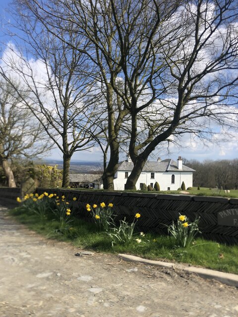
Castellfelorganol Images
Images are sourced within 2km of 52.05/-4.677 or Grid Reference SN1642. Thanks to Geograph Open Source API. All images are credited.


Castellfelorganol is located at Grid Ref: SN1642 (Lat: 52.05, Lng: -4.677)
Unitary Authority: Pembrokeshire
Police Authority: Dyfed Powys
What 3 Words
///rebounds.stickler.headlines. Near Cardigan, Ceredigion
Nearby Locations
Related Wikis

Bridell
Bridell (Welsh: Y Bridell) is a small settlement and parish in north Pembrokeshire, Wales. The parish includes the village of Pen-y-bryn. Together with...
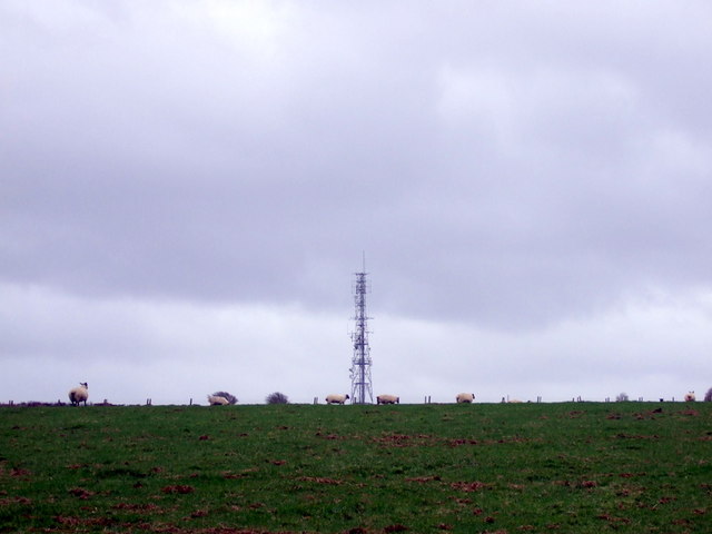
Cardigan transmitting station
The Cardigan transmitting station is a broadcasting and telecommunications facility located at Penwaun in Pembrokeshire, Wales, about 3 km to the south...

Llantood
Llantood (formerly Llantyd, Llantwyd or Llan-Illtyd) is a hamlet and parish in Cilgerran community, north Pembrokeshire, Wales. == Location == Llantood...

St Dogmaels television relay station
The St Dogmaels television relay station is a broadcasting and telecommunications facility located just above the village of St Dogmaels in Pembrokeshire...
Nearby Amenities
Located within 500m of 52.05,-4.677Have you been to Castellfelorganol?
Leave your review of Castellfelorganol below (or comments, questions and feedback).