Castell Cwm-Aran
Heritage Site in Radnorshire
Wales
Castell Cwm-Aran

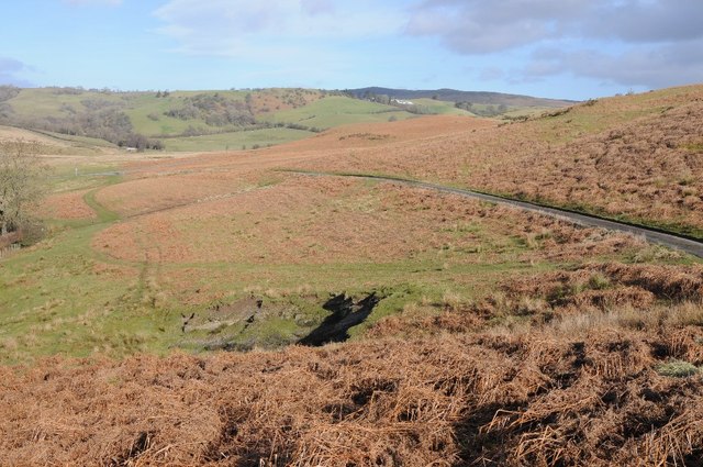
Castell Cwm-Aran is an ancient hillfort located in Radnorshire, Wales. Situated on the eastern slopes of the Cambrian Mountains, this historic site offers a glimpse into the region's rich past. The hillfort is believed to have been constructed during the Iron Age and has been a site of human activity for over 2,000 years.
The fortification is strategically positioned on a hilltop, providing panoramic views of the surrounding landscape. Its location suggests that it served as a defensive stronghold for the local community, offering protection against potential invaders. The earthworks and ramparts that encircle the hilltop are still visible today, showcasing the engineering skills of its ancient inhabitants.
Archaeological excavations of Castell Cwm-Aran have revealed evidence of human occupation, including pottery fragments, tools, and animal bones. These findings provide valuable insights into the daily lives and activities of the people who once called this hillfort their home.
Due to its historical significance, Castell Cwm-Aran has been designated as a heritage site. It attracts visitors from near and far who come to explore its ancient ruins and learn about the region's past. The site offers a unique opportunity to experience the atmosphere of an Iron Age hillfort and imagine the lives of its inhabitants.
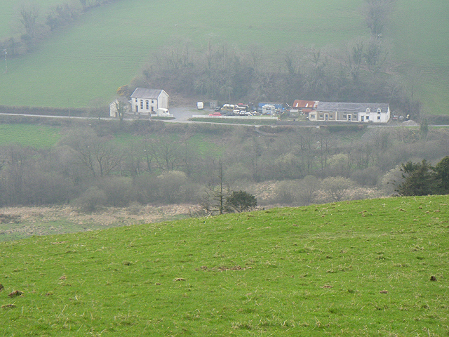
Visitors to Castell Cwm-Aran can enjoy the breathtaking views of the surrounding countryside while taking a leisurely stroll through the ancient earthworks. The site is easily accessible, with parking and picnic facilities available nearby. Interpretive signage provides information about the hillfort's history and significance, enhancing the visitor experience.
Castell Cwm-Aran stands as a testament to Wales' rich cultural heritage and offers a captivating glimpse into its ancient past.
If you have any feedback on the listing, please let us know in the comments section below.
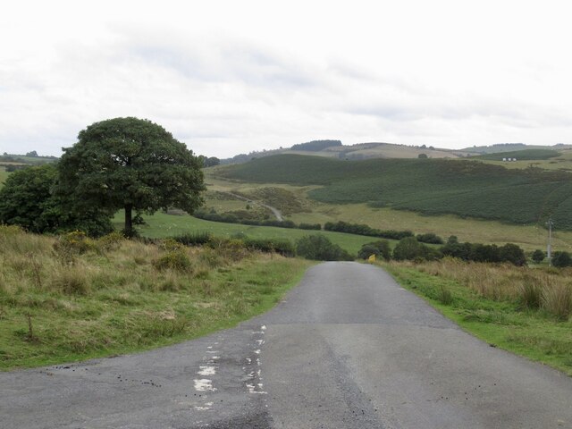
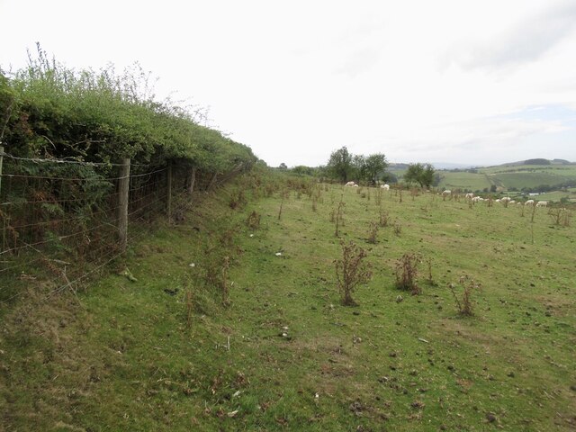
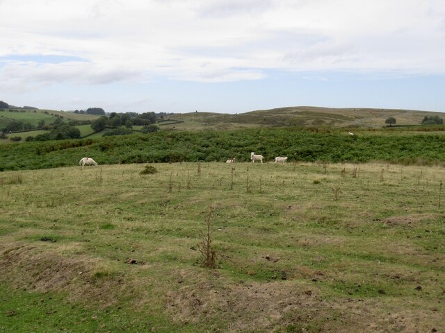
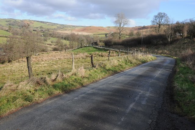
Castell Cwm-Aran Images
Images are sourced within 2km of 52.325/-3.24 or Grid Reference SO1570. Thanks to Geograph Open Source API. All images are credited.


Castell Cwm-Aran is located at Grid Ref: SO1570 (Lat: 52.325, Lng: -3.24)
Unitary Authority: Powys
Police Authority: Dyfed Powys
What 3 Words
///fittingly.nowadays.dorms. Near Penybont, Powys
Nearby Locations
Related Wikis

Llanbister Road railway station
Llanbister Road railway station is a countryside stop about 5 miles (8 km) from the village of Llanbister, Powys, Wales. The station is 41+3⁄4 miles (67...

Heartsease, Llanddewi Ystradenni
Heartsease is a small settlement or hamlet in the parish and community of Llanddewi Ystradenni in Powys, Wales. It should not be confused with Heartsease...

Dolau railway station
Dolau railway station is an unstaffed railway station with one platform serving the small village of Dolau in Powys, mid Wales. It is located on the Heart...
Llanfihangel Rhydithon
Llanfihangel Rhydithon is a community in the county of Powys, (Radnorshire) Wales, and is 56.1 miles (90.3 km) from Cardiff and 143.5 miles (231.0 km)...
Nearby Amenities
Located within 500m of 52.325,-3.24Have you been to Castell Cwm-Aran ?
Leave your review of Castell Cwm-Aran below (or comments, questions and feedback).