Cwmaran
Valley in Radnorshire
Wales
Cwmaran

Cwmaran is a picturesque valley located in the county of Radnorshire, Wales. Nestled amidst the rolling hills of the Welsh countryside, this charming valley is known for its stunning natural beauty. The name "Cwmaran" translates to "valley of the berries," a nod to the abundance of wild berries that grow in the area.
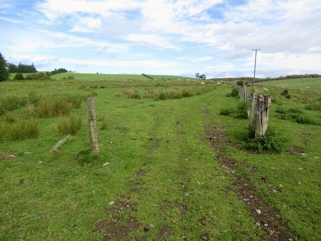
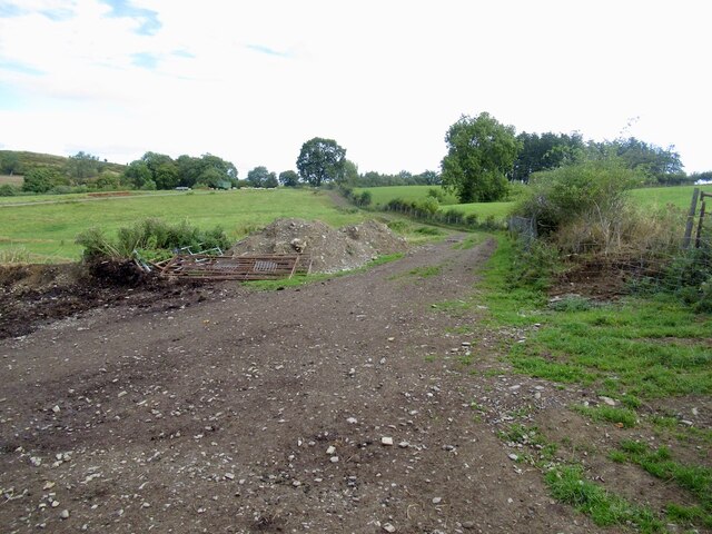
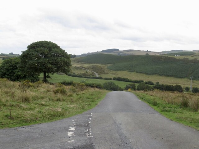
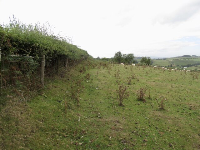
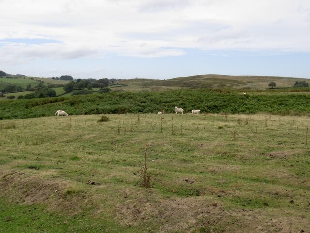
The valley is characterized by its lush green meadows, dotted with vibrant wildflowers during the spring and summer months. The landscape is further enhanced by the meandering River Wye, which flows through the valley, offering breathtaking views and a tranquil atmosphere.
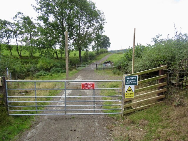
Cwmaran is a popular destination for nature lovers, hikers, and photographers due to its scenic trails that wind through the valley and offer panoramic views of the surrounding countryside. The valley is also home to a variety of wildlife, including otters, kingfishers, and herons, making it a haven for birdwatchers and wildlife enthusiasts.
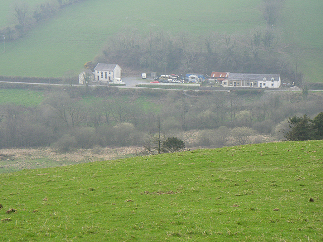
In addition to its natural beauty, Cwmaran boasts a rich history. The valley is dotted with ancient ruins, including the remains of a Roman fort, which provides a glimpse into the area's past. The nearby village of Cwmaran offers a charming glimpse into traditional Welsh life, with its quaint cottages and friendly locals.
Overall, Cwmaran, Radnorshire is a hidden gem, offering visitors a chance to escape the hustle and bustle of everyday life and immerse themselves in the tranquility of the Welsh countryside.
If you have any feedback on the listing, please let us know in the comments section below.
Cwmaran Images
Images are sourced within 2km of 52.322006/-3.2450561 or Grid Reference SO1570. Thanks to Geograph Open Source API. All images are credited.


Cwmaran is located at Grid Ref: SO1570 (Lat: 52.322006, Lng: -3.2450561)
Unitary Authority: Powys
Police Authority: Dyfed Powys
What 3 Words
///flood.costumed.tenses. Near Penybont, Powys
Nearby Locations
Related Wikis

Heartsease, Llanddewi Ystradenni
Heartsease is a small settlement or hamlet in the parish and community of Llanddewi Ystradenni in Powys, Wales. It should not be confused with Heartsease...

Llanbister Road railway station
Llanbister Road railway station is a countryside stop about 5 miles (8 km) from the village of Llanbister, Powys, Wales. The station is 41+3⁄4 miles (67...

Dolau railway station
Dolau railway station is an unstaffed railway station with one platform serving the small village of Dolau in Powys, mid Wales. It is located on the Heart...
Llanfihangel Rhydithon
Llanfihangel Rhydithon is a community in the county of Powys, (Radnorshire) Wales, and is 56.1 miles (90.3 km) from Cardiff and 143.5 miles (231.0 km)...
Nearby Amenities
Located within 500m of 52.322006,-3.2450561Have you been to Cwmaran?
Leave your review of Cwmaran below (or comments, questions and feedback).