Castell Crwn
Heritage Site in Anglesey
Wales
Castell Crwn
Castell Crwn, located on the Isle of Anglesey in Wales, is a historic heritage site that holds great archaeological and historical significance. Believed to have been built during the Iron Age, this hillfort stands on a hilltop overlooking the picturesque landscape of the surrounding countryside.
The fortification at Castell Crwn consists of a circular enclosure, with a diameter of approximately 70 meters. The site is protected by a well-preserved earthen rampart, which is further enhanced by a ditch that encircles the entire fort. The rampart reaches a height of around 4 meters, showcasing the impressive engineering skills of its ancient builders.
Within the enclosure, the remains of several roundhouses have been discovered, providing insight into the daily lives of the people who once inhabited this site. The foundations of these dwellings, made from stone and wood, suggest a sophisticated and well-organized society. Archaeologists have also uncovered traces of pottery and other artifacts, shedding light on the material culture of the period.
The strategic location of Castell Crwn offers commanding views of the surrounding landscape, including the nearby Menai Strait. This suggests that the fort was not only a place of residence but also served as a defensive stronghold for its inhabitants.
Today, Castell Crwn stands as a testament to the skill and ingenuity of its Iron Age builders. The site is open to the public, allowing visitors to explore the ancient remains and experience the rich history of this remarkable heritage site.
If you have any feedback on the listing, please let us know in the comments section below.
Castell Crwn Images
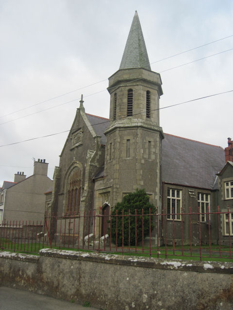
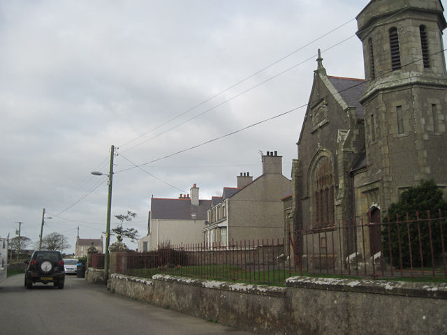
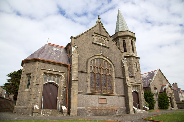
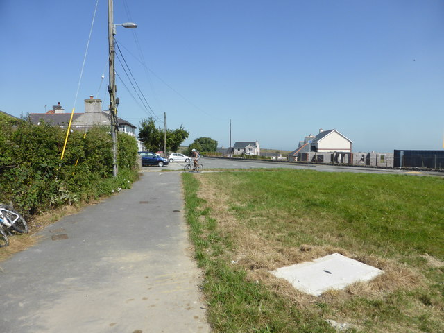
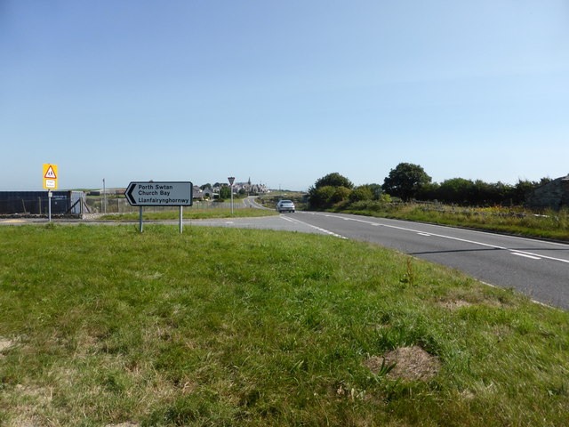
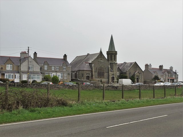
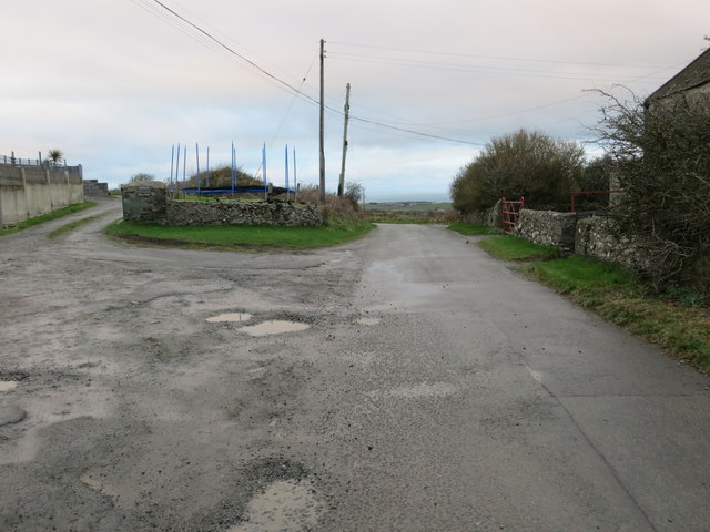
Images are sourced within 2km of 53.385/-4.503 or Grid Reference SH3390. Thanks to Geograph Open Source API. All images are credited.
Castell Crwn is located at Grid Ref: SH3390 (Lat: 53.385, Lng: -4.503)
Unitary Authority: Isle of Anglesey
Police Authority: North Wales
What 3 Words
///renders.pranced.cowboys. Near Llanfaethlu, Isle of Anglesey
Nearby Locations
Related Wikis
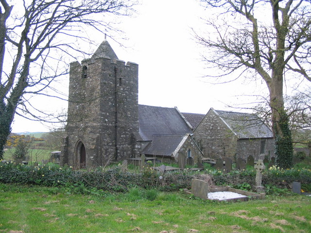
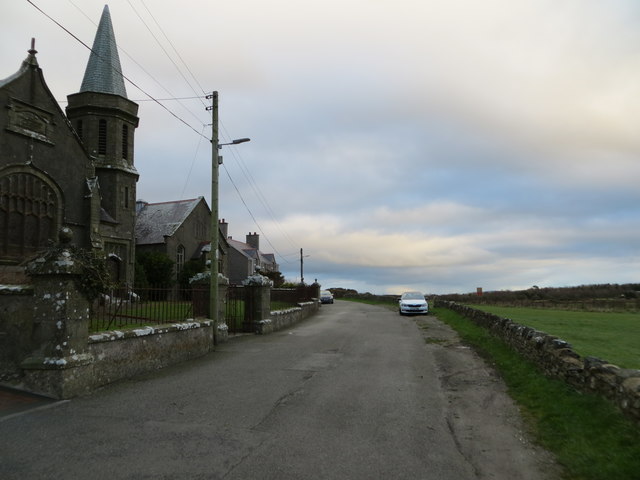
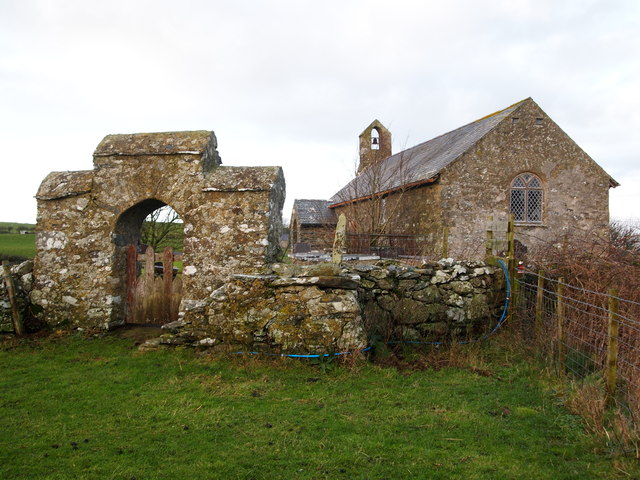
St Mary's Church, Llanfair-yng-Nghornwy
St Mary's Church, Llanfair-yng-Nghornwy is a medieval parish church in the north-west of Anglesey, north Wales. The date of foundation of the church, which...

Cylch-y-Garn
Cylch-y-Garn is a community in Anglesey, Wales, located on the north west coast of the county, 9.0 miles (14.5 km) west of Amlwch, 12.5 miles (20.1 km...

Llanrhyddlad
Llanrhyddlad (Welsh: Llan-Rhûddlad) is a hamlet in Anglesey, in north-west Wales. in the community of Cylch-y-Garn. == References ==

Llanrhuddlad
Llanrhuddlad is a village in the community of Cylch-y-Garn, Anglesey, Wales, 5 miles (8.0 km) from Holyhead, 142 miles (229 km) from Cardiff and 225 miles...
Nearby Amenities
Located within 500m of 53.385,-4.503Have you been to Castell Crwn?
Leave your review of Castell Crwn below (or comments, questions and feedback).