Castell Caemardy
Heritage Site in Radnorshire
Wales
Castell Caemardy
Castell Caemardy, also known as Caemardy Castle, is a historic heritage site located in the county of Radnorshire, Wales. This medieval fortress sits proudly atop a hill overlooking the picturesque landscape of the surrounding countryside.
Originally built in the 13th century, Castell Caemardy was constructed as a defensive stronghold during the turbulent times of the Welsh Wars of Independence. The castle was strategically positioned to control the nearby route between Radnor Forest and the Wye Valley.
The remains of Castell Caemardy consist of a rectangular stone keep, which once stood several stories tall. The walls of the castle are thick and fortified, demonstrating the defensive nature of the structure. Within the castle walls, there would have been various chambers for living quarters, storage, and other essential functions.
Over the centuries, Castell Caemardy has suffered damage and decay. Today, only the ruins of the keep and fragments of the outer walls remain. Despite its dilapidated state, the castle still evokes a sense of grandeur and provides visitors with a glimpse into its storied past.
Castell Caemardy is a popular destination for history enthusiasts, providing an opportunity to explore the medieval architecture and learn about the castle's role in the conflicts of the past. The site offers stunning views of the Radnorshire countryside, making it a favorite spot for photographers and nature lovers alike.
If you have any feedback on the listing, please let us know in the comments section below.
Castell Caemardy Images
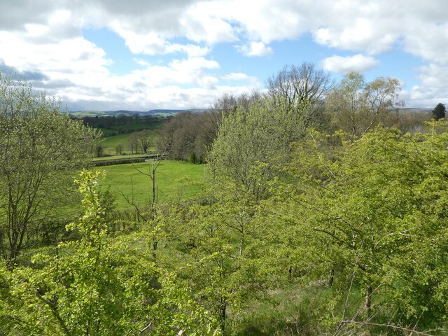
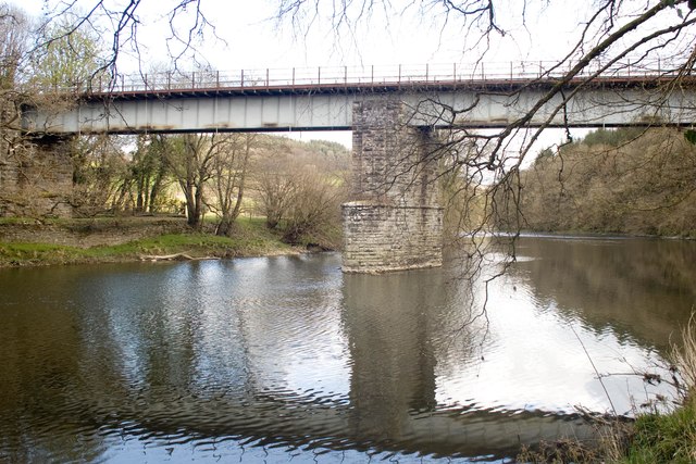
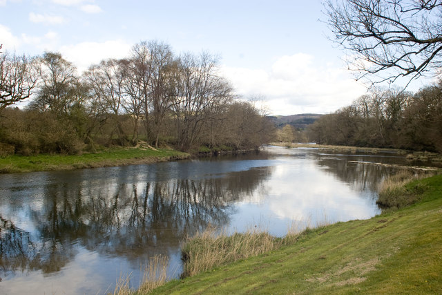
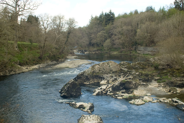
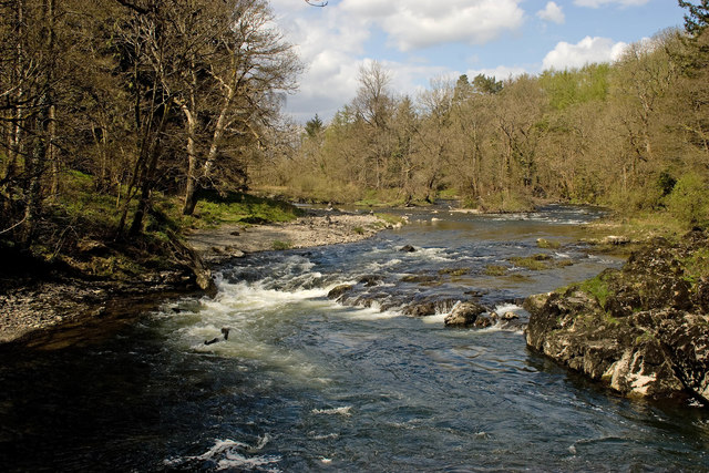
Images are sourced within 2km of 52.17/-3.412 or Grid Reference SO0353. Thanks to Geograph Open Source API. All images are credited.


Castell Caemardy is located at Grid Ref: SO0353 (Lat: 52.17, Lng: -3.412)
Unitary Authority: Powys
Police Authority: Dyfed Powys
What 3 Words
///vibe.overt.unrealistic. Near Builth Wells, Powys
Nearby Locations
Related Wikis

Builth Wells transmitting station
The Builth Wells television relay station is sited on high ground to the north of the town of Builth Wells in Powys, South Wales. It was originally built...

Builth Road railway station
Builth Road railway station is a station primarily serving the town of Builth Wells, in mid Wales. It is on the Heart of Wales Line. The station is over...
Builth Wells F.C.
Builth Wells F.C. is a Welsh football club based in Builth Wells, Powys. They are currently playing in the Ardal Leagues North East, the third tier of...

Llanelwedd
Llanelwedd [ɬanˈɛlwɛð] is a village and community near Builth Wells, in Powys, Wales. It lies within the historic boundaries of Radnorshire. Llanelwedd...
Nearby Amenities
Located within 500m of 52.17,-3.412Have you been to Castell Caemardy?
Leave your review of Castell Caemardy below (or comments, questions and feedback).