Castell Bwa-drain

Heritage Site in Cardiganshire

Wales

Castell Bwa-drain

Pasture by Afon Rheidol Caught in pleasant February sunshine.
Pasture by Afon Rheidol Credit: John Lucas

The requested URL returned error: 429 Too Many Requests

If you have any feedback on the listing, please let us know in the comments section below.

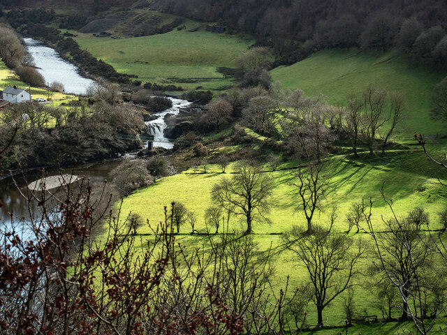
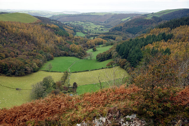
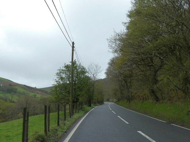
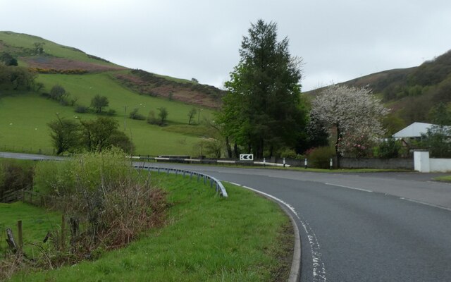
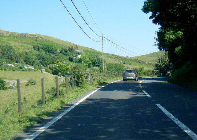
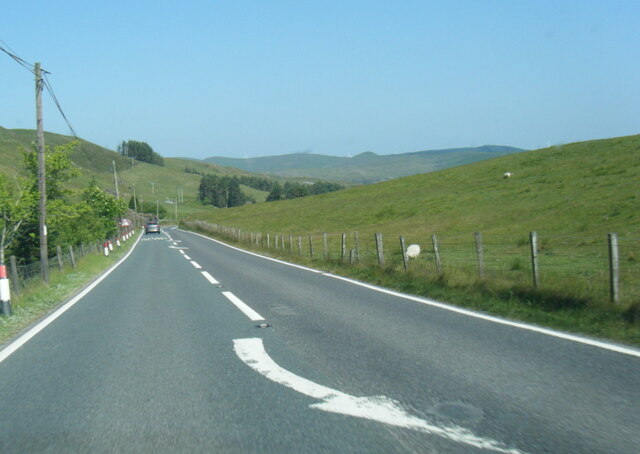
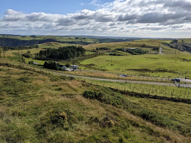
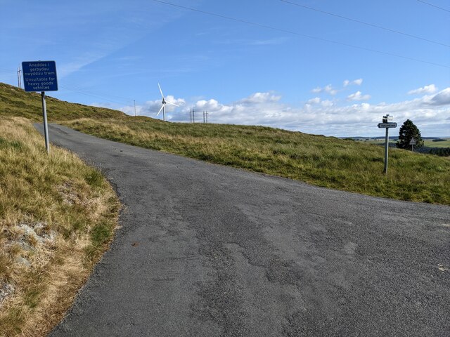
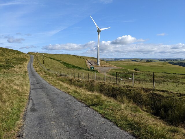
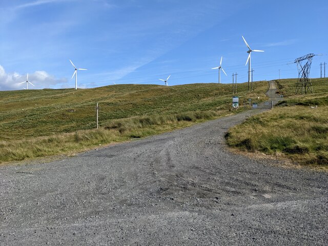
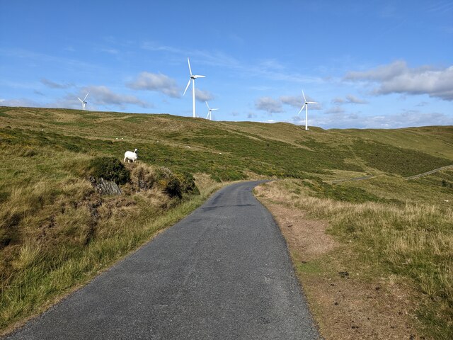
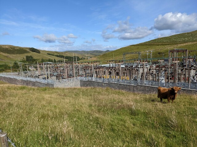
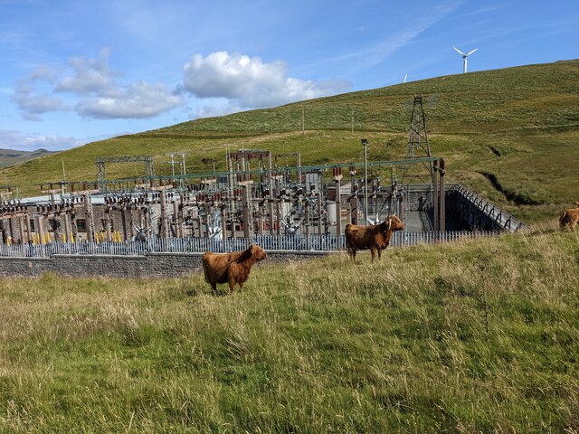
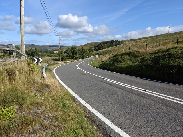
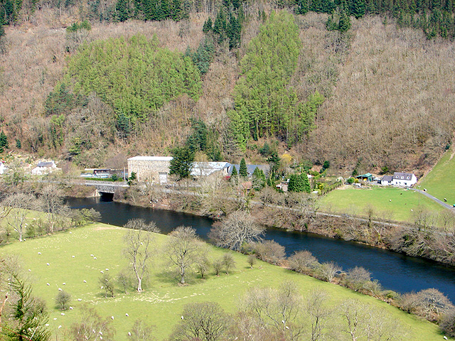
Castell Bwa-drain Images

Images are sourced within 2km of 52.398/-3.888 or Grid Reference SN7179. Thanks to Geograph Open Source API. All images are credited.

Pasture by Afon Rheidol Caught in pleasant February sunshine.
Pasture by Afon Rheidol
Caught in pleasant February sunshine.
Dyffryn Melindwr Viewed from Bwlch Nant-yr-arian Visitor Centre.
Dyffryn Melindwr
Viewed from Bwlch Nant-yr-arian Visitor Centre.
A44 skirting the valley above Nant Brwyno The A44 is a major road in the United Kingdom that runs for 155 miles from Oxford in southern England to Aberystwyth in west Wales.
<span class="nowrap"><a title="http://www.sabre-roads.org.uk/wiki/index.php?title=A44" rel="nofollow ugc noopener" href="http://www.sabre-roads.org.uk/wiki/index.php?title=A44">Link</a><img style="margin-left:2px;" alt="External link" title="External link - shift click to open in new window" src="https://s1.geograph.org.uk/img/external.png" width="10" height="10"/></span>  SABRE
<span class="nowrap"><a title="https://en.wikipedia.org/wiki/A44_road" rel="nofollow ugc noopener" href="https://en.wikipedia.org/wiki/A44_road">Link</a><img style="margin-left:2px;" alt="External link" title="External link - shift click to open in new window" src="https://s1.geograph.org.uk/img/external.png" width="10" height="10"/></span>  Wikipedia
A44 skirting the valley above Nant Brwyno
The A44 is a major road in the United Kingdom that runs for 155 miles from Oxford in southern England to Aberystwyth in west Wales. LinkExternal link SABRE LinkExternal link Wikipedia
A44 bend for Cwmbrwyno Bridge To avoid steep slopes, the A44 follows a contour round the valley and will double back after the curve
A44 bend for Cwmbrwyno Bridge
To avoid steep slopes, the A44 follows a contour round the valley and will double back after the curve
Picnic tables, Bwlch Nant-yr-Arian Some of the facilities at Nantyrarian Visitor Centre.
Picnic tables, Bwlch Nant-yr-Arian
Some of the facilities at Nantyrarian Visitor Centre.
Footpath through woodland at Bwlch Nant-yr-Arian from <a href="https://www.geograph.org.uk/photo/19769">SN7181 : Bwlch Nant Yr Arian</a> by Cered:
Bwlch Nant Yr Arian Visitor Centre is located on the A44 between Aberystwyth and Llangurig.
Red Kite feeding can be enjoyed every day at 3pm(2pm winter), offering spectacular views of the birds in a wild and wonderful setting. Two scenic waymarked walks with breathtaking views begin at the Visitor Centre, as does the All Ability Lakeside Trail giving everyone the opportunity to enjoy the natural beauty of the area. The centre also has three single track mountain bike routes offering epic rides for the more adventurous, and two waymarked horse routes.
Footpath through woodland at Bwlch Nant-yr-Arian
from SN7181 : Bwlch Nant Yr Arian by Cered: Bwlch Nant Yr Arian Visitor Centre is located on the A44 between Aberystwyth and Llangurig. Red Kite feeding can be enjoyed every day at 3pm(2pm winter), offering spectacular views of the birds in a wild and wonderful setting. Two scenic waymarked walks with breathtaking views begin at the Visitor Centre, as does the All Ability Lakeside Trail giving everyone the opportunity to enjoy the natural beauty of the area. The centre also has three single track mountain bike routes offering epic rides for the more adventurous, and two waymarked horse routes.
Mountain bike trail, Bwlch Nant-yr-Arian from <a href="https://www.geograph.org.uk/photo/19769">SN7181 : Bwlch Nant Yr Arian</a> by Cered:
Bwlch Nant Yr Arian Visitor Centre is located on the A44 between Aberystwyth and Llangurig.
Red Kite feeding can be enjoyed every day at 3pm(2pm winter), offering spectacular views of the birds in a wild and wonderful setting. Two scenic waymarked walks with breathtaking views begin at the Visitor Centre, as does the All Ability Lakeside Trail giving everyone the opportunity to enjoy the natural beauty of the area. The centre also has three single track mountain bike routes offering epic rides for the more adventurous, and two waymarked horse routes.
Mountain bike trail, Bwlch Nant-yr-Arian
from SN7181 : Bwlch Nant Yr Arian by Cered: Bwlch Nant Yr Arian Visitor Centre is located on the A44 between Aberystwyth and Llangurig. Red Kite feeding can be enjoyed every day at 3pm(2pm winter), offering spectacular views of the birds in a wild and wonderful setting. Two scenic waymarked walks with breathtaking views begin at the Visitor Centre, as does the All Ability Lakeside Trail giving everyone the opportunity to enjoy the natural beauty of the area. The centre also has three single track mountain bike routes offering epic rides for the more adventurous, and two waymarked horse routes.
A wet day for the playground, Bwlch Nant-yr-Arian from <a href="https://www.geograph.org.uk/photo/19769">SN7181 : Bwlch Nant Yr Arian</a> by Cered:
Bwlch Nant Yr Arian Visitor Centre is located on the A44 between Aberystwyth and Llangurig.
Red Kite feeding can be enjoyed every day at 3pm(2pm winter), offering spectacular views of the birds in a wild and wonderful setting. Two scenic waymarked walks with breathtaking views begin at the Visitor Centre, as does the All Ability Lakeside Trail giving everyone the opportunity to enjoy the natural beauty of the area. The centre also has three single track mountain bike routes offering epic rides for the more adventurous, and two waymarked horse routes.
A wet day for the playground, Bwlch Nant-yr-Arian
from SN7181 : Bwlch Nant Yr Arian by Cered: Bwlch Nant Yr Arian Visitor Centre is located on the A44 between Aberystwyth and Llangurig. Red Kite feeding can be enjoyed every day at 3pm(2pm winter), offering spectacular views of the birds in a wild and wonderful setting. Two scenic waymarked walks with breathtaking views begin at the Visitor Centre, as does the All Ability Lakeside Trail giving everyone the opportunity to enjoy the natural beauty of the area. The centre also has three single track mountain bike routes offering epic rides for the more adventurous, and two waymarked horse routes.
A44 west of Cwmbrwyno
A44 near Lliwernog Pond
Looking down on Pen-bryn Moelddu
The road through the edge of the windfarm The sign declares it to be 'unsuitable for heavy goods vehicles'.
The road through the edge of the windfarm
The sign declares it to be 'unsuitable for heavy goods vehicles'.
An outlying turbine I don't know whether this is part of the main windfarm, adjacent, or a private turbine.
An outlying turbine
I don't know whether this is part of the main windfarm, adjacent, or a private turbine.
The track into the windfarm
The road next to the windfarm
The sub-station catering for the Rheidol windfarm And a shaggy Highland cow.
The sub-station catering for the Rheidol windfarm
And a shaggy Highland cow.
Cows by the sub-station The sub-station handles the output of the Rheidol windfarm.
Cows by the sub-station
The sub-station handles the output of the Rheidol windfarm.
The A44 near Bwlch Nant-yr-Arian
Show me another place!

Castell Bwa-drain is located at Grid Ref: SN7179 (Lat: 52.398, Lng: -3.888)

Unitary Authority: Ceredigion

Police Authority: Dyfed Powys

What 3 Words

///crazy.divorcing.dislikes. Near Cwmystwyth, Ceredigion

Nearby Locations

Castell Bwa-drain

Related Wikis

Rheidol Power Station

Rheidol power station is a 56 MW hydroelectric scheme near Aberystwyth, Wales. It was built between 1957 and 1962 and was officially opened on 3 July 1964...

Rheidol Falls railway station

Rheidol Falls railway station is a railway station serving Rheidol Falls in Ceredigion in Mid-Wales. It is an intermediate station and request stop on...

Cwmbrwyno

Cwmbrwyno is a hamlet in the community of Melindwr, Ceredigion, Wales, which is 71.2 miles (114.7 km) from Cardiff and 172.3 miles (277.3 km) from London...

Llywernog

Llywernog () is a hamlet in the community of Blaenrheidol, Ceredigion, Wales. Llywernog is represented in the Senedd by Elin Jones (Plaid Cymru) and the...

Have you been to Castell Bwa-drain?

Leave your review of Castell Bwa-drain below (or comments, questions and feedback).