Cas-funch

Heritage Site in Pembrokeshire

Wales

Cas-funch

Footpath southeast of Puncheston/Casmael A straight, slightly raised PROW, with a hard surface beneath the grass, between overgrown hedges leads downhill towards a ford and bridge across the Afon Anghof on the edge of the village. The stone set on the edge of the lane's end (left of the dog) appears to be some sort of marker, possibly connected with the long-dismantled railway line that ran NE-SW close to this point. See <span class="nowrap"><a title="http://www.disused-stations.org.uk/p/puncheston/index.shtml" rel="nofollow ugc noopener" href="http://www.disused-stations.org.uk/p/puncheston/index.shtml">Link</a><img style="margin-left:2px;" alt="External link" title="External link - shift click to open in new window" src="https://s1.geograph.org.uk/img/external.png" width="10" height="10"/></span>
Footpath southeast of Puncheston/Casmael Credit: Natasha Ceridwen de Chroustchoff

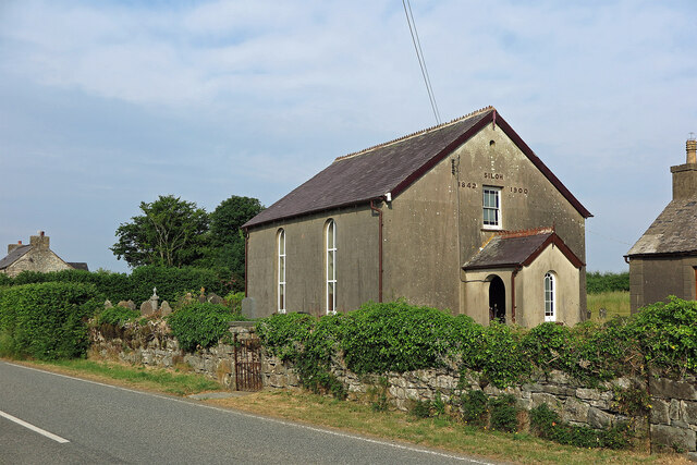
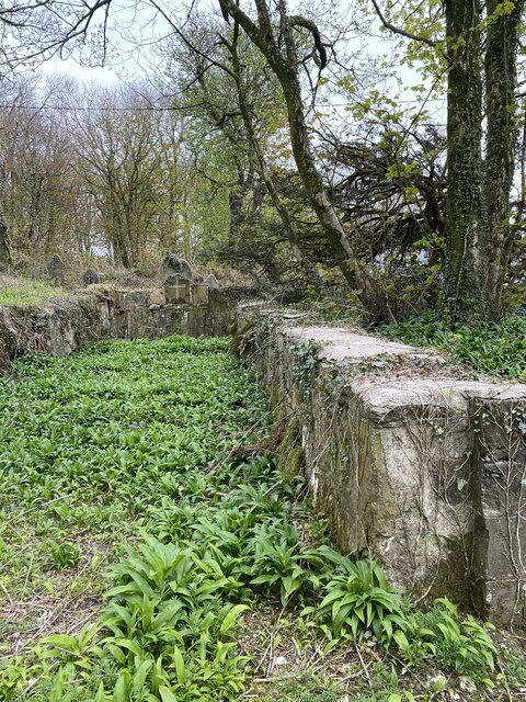
Cas-funch is a heritage site located in Pembrokeshire, Wales. It is a Neolithic burial chamber dating back to around 3500 BC, making it one of the oldest historical sites in the region. The site consists of a large stone burial chamber covered by a mound of earth and stones, giving it a distinctive appearance.

Cas-funch is believed to have been used for burial rituals and ceremonies by the early inhabitants of the area. The site is well-preserved and provides valuable insight into the burial practices and beliefs of the Neolithic people who lived in this region thousands of years ago.

Visitors to Cas-funch can explore the site and learn about its history through informational signs and guided tours. The site offers a unique opportunity to step back in time and experience a glimpse of the ancient past of Pembrokeshire.

Overall, Cas-funch is an important heritage site that showcases the rich history and cultural heritage of Pembrokeshire, providing a fascinating insight into the lives of the people who lived in the area thousands of years ago.

If you have any feedback on the listing, please let us know in the comments section below.
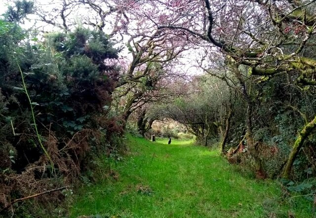
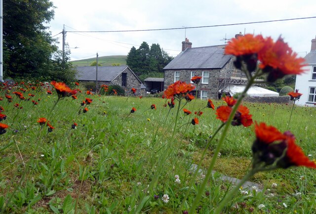
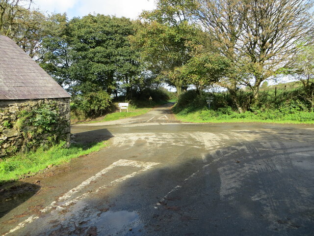
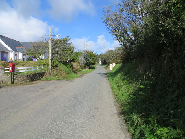
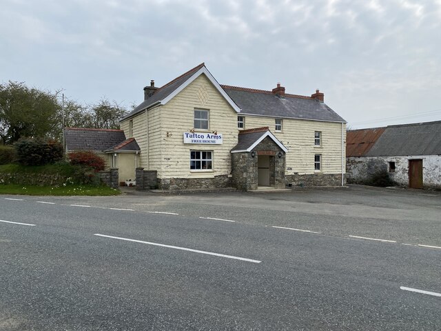
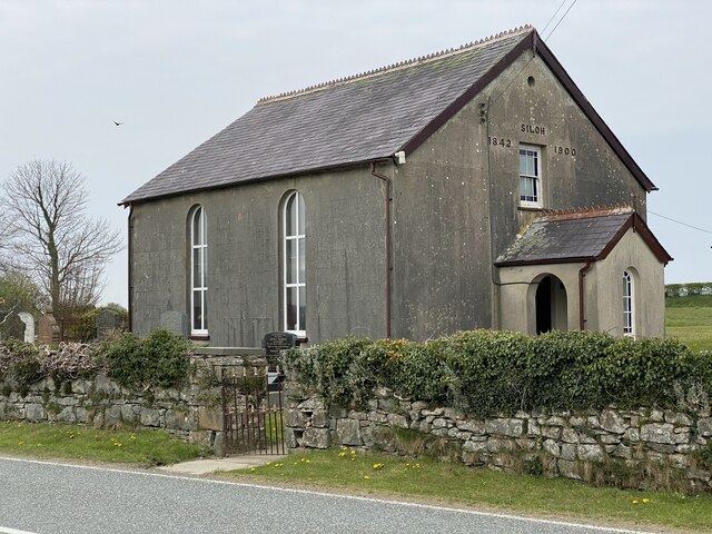
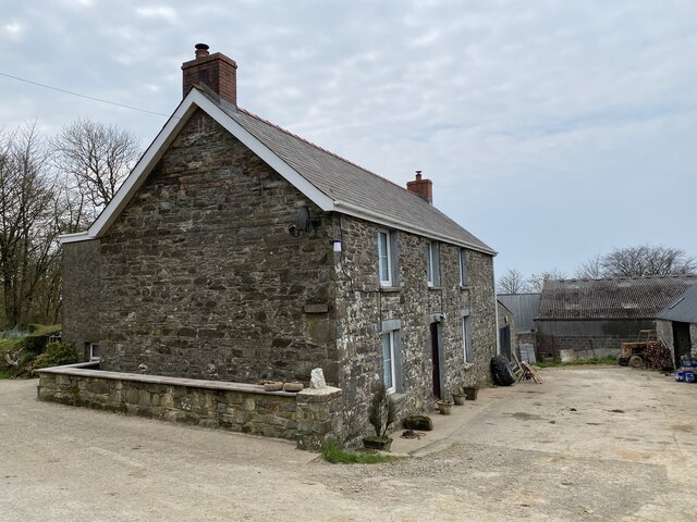
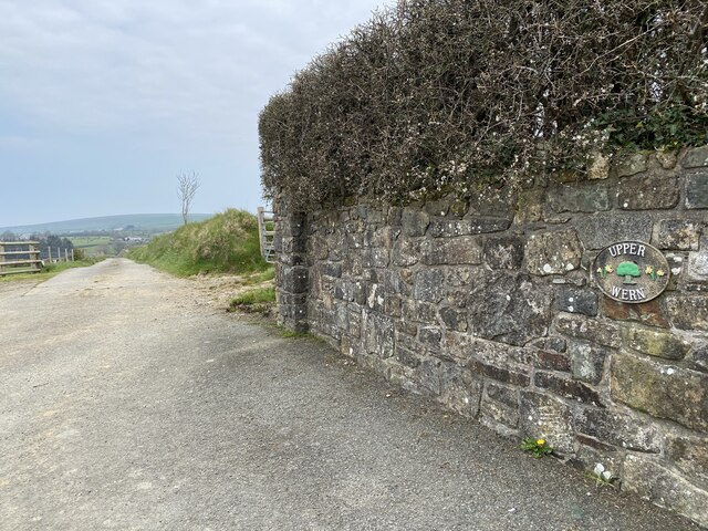
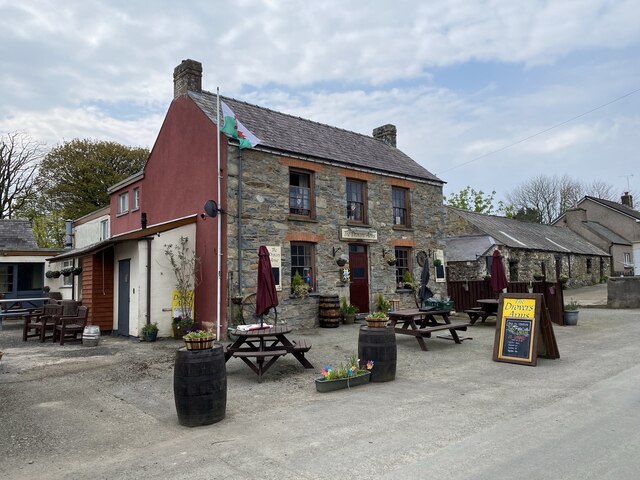
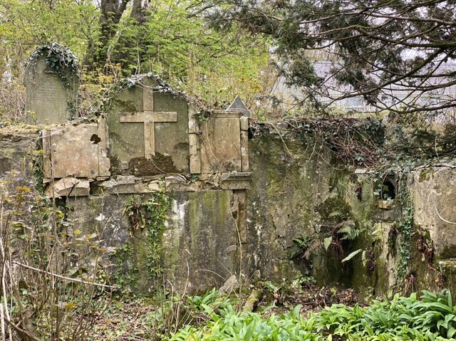
Cas-funch Images

Images are sourced within 2km of 51.928/-4.873 or Grid Reference SN0229. Thanks to Geograph Open Source API. All images are credited.

Footpath southeast of Puncheston/Casmael A straight, slightly raised PROW, with a hard surface beneath the grass, between overgrown hedges leads downhill towards a ford and bridge across the Afon Anghof on the edge of the village. The stone set on the edge of the lane's end (left of the dog) appears to be some sort of marker, possibly connected with the long-dismantled railway line that ran NE-SW close to this point. See <span class="nowrap"><a title="http://www.disused-stations.org.uk/p/puncheston/index.shtml" rel="nofollow ugc noopener" href="http://www.disused-stations.org.uk/p/puncheston/index.shtml">Link</a><img style="margin-left:2px;" alt="External link" title="External link - shift click to open in new window" src="https://s1.geograph.org.uk/img/external.png" width="10" height="10"/></span>
Footpath southeast of Puncheston/Casmael
A straight, slightly raised PROW, with a hard surface beneath the grass, between overgrown hedges leads downhill towards a ford and bridge across the Afon Anghof on the edge of the village. The stone set on the edge of the lane's end (left of the dog) appears to be some sort of marker, possibly connected with the long-dismantled railway line that ran NE-SW close to this point. See LinkExternal link
Fox-and-cubs in Casmael churchyard Pilosella aurantiaca, very often to be found growing in churchyards, cemeteries and other rough stony places with good drainage.
The name Fox-and-cubs refers to the way the open flowers and the buds are clustered together on the same stalk but it has a variety of other common names too.
Fox-and-cubs in Casmael churchyard
Pilosella aurantiaca, very often to be found growing in churchyards, cemeteries and other rough stony places with good drainage. The name Fox-and-cubs refers to the way the open flowers and the buds are clustered together on the same stalk but it has a variety of other common names too.
Track at Rhos-Fâch Looking eastward
Track at Rhos-Fâch
Looking eastward
The crossing of minor roads at Castlebythe Farm Looking north-westward.
The crossing of minor roads at Castlebythe Farm
Looking north-westward.
Earth banked and tree-lined minor road near Garden Looking eastward.
Earth banked and tree-lined minor road near Garden
Looking eastward.
Minor road in Tufton Looking north-westward.
Minor road in Tufton
Looking north-westward.
Siloh Congregational Chapel, Tufton The Welsh form is Capel Seilo. This served as the Congregational chapel for Henry's Moat.
Siloh Congregational Chapel, Tufton
The Welsh form is Capel Seilo. This served as the Congregational chapel for Henry's Moat.
Ordnance Survey Cut Mark This OS cut mark can be found on the west face of St Michael's Church. It marks a point 206.337m above mean sea level.
Ordnance Survey Cut Mark
This OS cut mark can be found on the west face of St Michael's Church. It marks a point 206.337m above mean sea level.
Ordnance Survey Cut Mark This OS cut mark can be found on a gatepost north side of the road. It marks a point 167.719m above mean sea level.
Ordnance Survey Cut Mark
This OS cut mark can be found on a gatepost north side of the road. It marks a point 167.719m above mean sea level.
Ordnance Survey Cut Mark This OS cut mark can be found on the SE face of St Mary's Church. It marks a point 156.954m above mean sea level.
Ordnance Survey Cut Mark
This OS cut mark can be found on the SE face of St Mary's Church. It marks a point 156.954m above mean sea level.
The Tufton Arms
The Tufton Arms
Tufton Arms Public house in the village of Tufton.
Tufton Arms
Public house in the village of Tufton.
Siloh Chapel Siloh Chapel is a Calvinistic Methodist chapel in the Union of Welsh Independent churches.  It was founded in 1842, registered to solemnise marriages in 1844, and restored in 1900.
Siloh Chapel
Siloh Chapel is a Calvinistic Methodist chapel in the Union of Welsh Independent churches. It was founded in 1842, registered to solemnise marriages in 1844, and restored in 1900.
A ruined church The ruined church of St Michael, Castlebythe.

See also <a href="https://www.geograph.org.uk/photo/651373">SN0228 : Casfuwch/Castlebythe church</a> taken by Ceridwen 13 years ago.  The ground inside the church has been cleared of young trees and a mass of wild garlic will shortly be in flower.
A ruined church
The ruined church of St Michael, Castlebythe. See also SN0228 : Casfuwch/Castlebythe church taken by Ceridwen 13 years ago. The ground inside the church has been cleared of young trees and a mass of wild garlic will shortly be in flower.
Castlebythe Farm Farmhouse at Castlebythe Farm.
Castlebythe Farm
Farmhouse at Castlebythe Farm.
Farm entrance Entrance to Upper Wern Farm.
Farm entrance
Entrance to Upper Wern Farm.
The Drovers Arms Public house in Puncheston.
The Drovers Arms
Public house in Puncheston.
Ruined church Eastern wall above the altar at the ruined St Michael’s Church at Castlebythe.  See also <a href="https://www.geograph.org.uk/photo/6814516">SN0228 : A ruined church</a>.
Ruined church
Eastern wall above the altar at the ruined St Michael’s Church at Castlebythe. See also SN0228 : A ruined church.
Show me another place!

Cas-funch is located at Grid Ref: SN0229 (Lat: 51.928, Lng: -4.873)

Unitary Authority: Pembrokeshire

Police Authority: Dyfed Powys

What 3 Words

///cracker.terms.modifies. Near Ambleston, Pembrokeshire

Related Wikis

Castlebythe

Castlebythe (Welsh: Cas-fuwch) is a village and parish in Pembrokeshire, Wales, on the southern slopes of the Preseli Hills, 10 km south-east of Fishguard...

Waun Fawr, Puncheston

Waun Fawr, Puncheston is a Site of Special Scientific Interest (or SSSI) in Pembrokeshire, South Wales. It has been designated as a Site of Special Scientific...

Puncheston railway station

Puncheston railway station served the village of Puncheston, Pembrokeshire, Wales, from 1895 to 1949 on the North Pembrokeshire and Fishguard Railway....

Morvil

Morvil or Morfil is a remote upland parish on the southern slopes of the Preseli Mountains in north Pembrokeshire, Wales. Fishguard is 6 miles (10 km)...

Nearby Amenities

Located within 500m of 51.928,-4.873
Mynydd Castlebythe
Natural: peak
Trigpoint: yes
Lat/Long: 51.930241/-4.8686851
The data included in this document is from www.openstreetmap.org. The data is made available under ODbL.

Have you been to Cas-funch?

Leave your review of Cas-funch below (or comments, questions and feedback).