Carvossa

Heritage Site in Cornwall

England

Carvossa

Woodland edge and pasture, Probus A lush scene in the valley between the village and Helland.
Woodland edge and pasture, Probus Credit: Andrew Smith

Carvossa, located in Cornwall, England, is a renowned heritage site that holds significant historical and cultural value. Situated on the southern coast of Cornwall, the village is nestled within the beautiful landscape of the Roseland Peninsula.

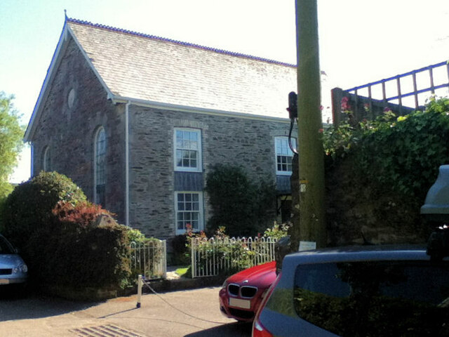
Carvossa boasts a rich history dating back to the medieval period, with evidence of human settlement in the area for over 4,000 years. The village is famous for its well-preserved medieval architecture, narrow cobblestone streets, and charming houses adorned with colorful flowers. The iconic St. Just Church, built in the 13th century and featuring a striking tower, is a prominent landmark in Carvossa.

Visitors to Carvossa can explore the numerous historic sites and landmarks scattered throughout the village. The Carvossa Museum, housed in a former school building, offers an immersive experience, displaying artifacts, documents, and artworks that depict the village's fascinating past. The museum also provides valuable insights into the local fishing industry, which played a significant role in Carvossa's economic development.

In addition to its historical significance, Carvossa is celebrated for its natural beauty. The village is surrounded by stunning coastal scenery, including rugged cliffs, sandy beaches, and crystal-clear waters. The South West Coast Path, a popular hiking trail that stretches along the Cornish coastline, passes through Carvossa, offering breathtaking views and opportunities for outdoor exploration.

Carvossa's status as a heritage site ensures the preservation and protection of its historical buildings and cultural heritage. The village's unique charm, combined with its rich history and picturesque setting, makes it a must-visit destination for history enthusiasts, nature lovers, and those seeking an authentic Cornish experience.

If you have any feedback on the listing, please let us know in the comments section below.
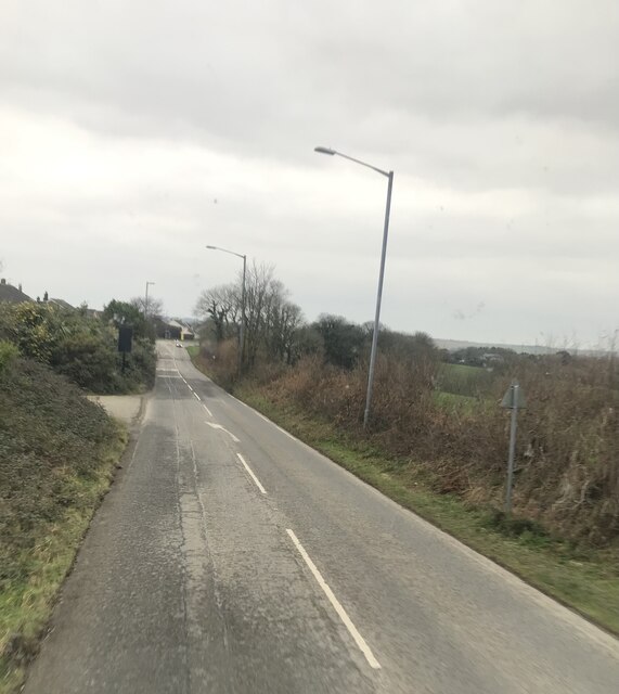
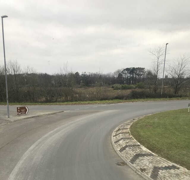
Carvossa Images

Images are sourced within 2km of 50.298/-4.928 or Grid Reference SW9148. Thanks to Geograph Open Source API. All images are credited.

Woodland edge and pasture, Probus A lush scene in the valley between the village and Helland.
Woodland edge and pasture, Probus
A lush scene in the valley between the village and Helland.
Farmland, Probus A wooded valley separating fields of grass below the road near Golden Cot Farm.
Farmland, Probus
A wooded valley separating fields of grass below the road near Golden Cot Farm.
Milestone White stone in centre of photo
Milestone
White stone in centre of photo
Roadworks
Roadworks
Old Milestone by the A390 in Grampound Carved stone post by the A390, in parish of GRAMPOUND WITH CREED (RESTORMEL District), by public weighbridge, just West of tollhouse, on grass verge, on North side of road. Truro stone, erected by the Truro turnpike trust in the 18th century. 

Inscription reads:-
FROM
TRURO
8
MILES

Grade II listed. 
List Entry Number: 1396215

Milestone Society National ID: CW_TOSA08
Old Milestone by the A390 in Grampound
Carved stone post by the A390, in parish of GRAMPOUND WITH CREED (RESTORMEL District), by public weighbridge, just West of tollhouse, on grass verge, on North side of road. Truro stone, erected by the Truro turnpike trust in the 18th century. Inscription reads:- FROM TRURO 8 MILES Grade II listed. List Entry Number: 1396215 Milestone Society National ID: CW_TOSA08
Former Frampound Bible Christian Chapel
A390 by the turn off for Trewithen Gardens
A390 Newstables junction
A390 at  Trewithen Gardens entrance
A390 at Trewithen Gardens entrance
An old car on the former A390 at Probus
Roundabout on the edge of Probus
Fairfields, Probus
Fairfields, Probus
Trewithen Roundabout
A390 towards turnoff for Trewithen Gardens
A390 towards Probus
A390 towards Probus
A390 at the turn off for Grampound Road
A390 near Trevolland
A390 West  of Grampound
A390 West of Grampound
Show me another place!

Carvossa is located at Grid Ref: SW9148 (Lat: 50.298, Lng: -4.928)

Unitary Authority: Cornwall

Police Authority: Devon and Cornwall

What 3 Words

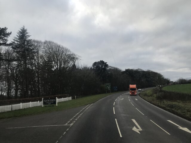
///cave.pulse.drifters. Near Probus, Cornwall

Nearby Locations

Carvossa

Related Wikis

Trewithen House

Trewithen House is a Georgian country house in Probus, Cornwall, England. The Palladian house was built by London-based architect Thomas Edwards in 1723...

Parkengear

Parkengear is a hamlet in the parish of Probus, Cornwall, England. == References ==

St Probus and St Grace's Church, Probus

St Probus and St Grace's Church, Probus, is a Grade I listed parish church in the Church of England Diocese of Truro in Probus, Cornwall. == History... ==

Grampound (UK Parliament constituency)

Grampound in Cornwall was a borough constituency of the House of Commons of the Parliament of England, then of the Parliament of Great Britain from 1707...

Nearby Amenities

Located within 500m of 50.298,-4.928
Bus Stop
New Stables
Bus: yes
Long Name: Grampound Road, opp New Stables
Naptan AdministrativeAreaCode: 73
Naptan AtcoCode: 0800COC31088
Naptan Bearing: SW
Naptan BusStopType: CUS
Naptan CommonName: New Stables
Naptan Indicator: opp
Naptan LocalityName: Grampound Road
Naptan ModificationDate: 2015-04-25 12:21:08
Naptan NaptanCode: cordawjw
Naptan NptgLocalityCode: E0002830
Naptan RegionCode: cordawjw
Naptan ShortCommonName: Grampound Road Turn
Naptan Street: A390
Public Transport: platform
Source: naptan_import
Lat/Long: 50.2992681/-4.9294302
Bus Stop
New Stables
Bus: yes
Long Name: Grampound Road New Stables (E-bound)
Naptan AdministrativeAreaCode: 73
Naptan AtcoCode: 0800FWW38501
Naptan Bearing: E
Naptan BusStopType: MKD
Naptan CommonName: New Stables
Naptan Crossing: Unclassified
Naptan Indicator: E-bound
Naptan LocalityName: Grampound Road
Naptan ModificationDate: 2021-07-07 13:30:46
Naptan NaptanCode: cordawpg
Naptan NptgLocalityCode: E0002830
Naptan RegionCode: cordawpg
Naptan ShortCommonName: Grampound Road Turn
Naptan Street: A390
Public Transport: platform
Shelter: no
Source: naptan_import
Lat/Long: 50.300475/-4.9273797
Parking
Capacity: 5
Lat/Long: 50.2972063/-4.9278491
Operator: Openreach
Operator Wikidata: Q7096543
Telecom: exchange
Lat/Long: 50.3021637/-4.9274902
Bus Stop
New Stables
Bus: yes
Long Name: Grampound Road New Stables (NE-bound)
Naptan AdministrativeAreaCode: 73
Naptan AtcoCode: 0800COC31087
Naptan Bearing: NE
Naptan BusStopType: CUS
Naptan CommonName: New Stables
Naptan Indicator: NE-bound
Naptan LocalityName: Grampound Road
Naptan ModificationDate: 2017-01-04 09:42:17
Naptan NptgLocalityCode: E0002830
Naptan RegionCode: cordawmt
Naptan Verified: no
Public Transport: platform
Lat/Long: 50.30024/-4.92838
The data included in this document is from www.openstreetmap.org. The data is made available under ODbL.

Have you been to Carvossa?

Leave your review of Carvossa below (or comments, questions and feedback).