Carnedd y Ddelw

Heritage Site in Caernarfonshire

Wales

Carnedd y Ddelw

Slatey rock outcrop Volcanic rock belonging to the Conwy Rhyolite Formation underlies much of the final stages of the path to the summit of Drum. Here, however, is one of the many enclaves of mudstone which are interleaved between parts of the erupted sequence of tuff and lava. Like the volcanic rocks, a strong cleavage has been impressed by the tectonic stresses imposed during the Caledonian mountain-building period. The image does not do justice to the freezing wind flying across the ridge from the east.
Slatey rock outcrop Credit: Jonathan Wilkins

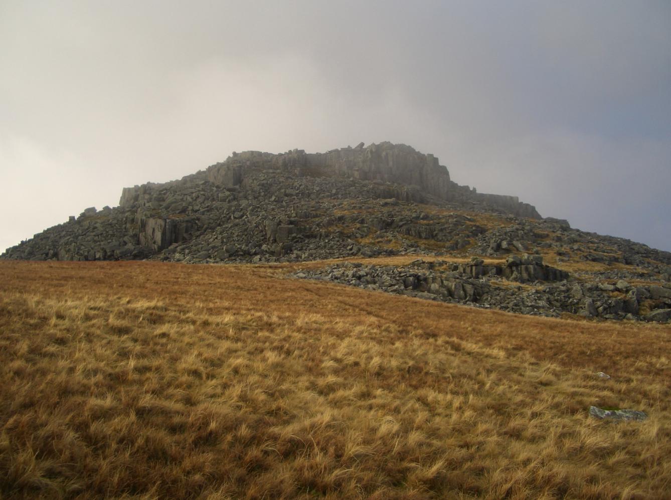
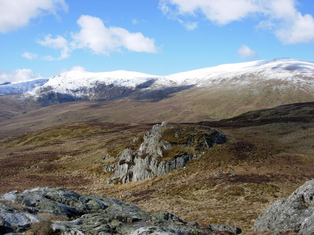
Carnedd y Ddelw, located in Caernarfonshire, Wales, is a historical heritage site that holds significant cultural and archaeological importance. The site is situated on the slopes of the Carneddau mountain range, approximately 12 miles southeast of Caernarfon.

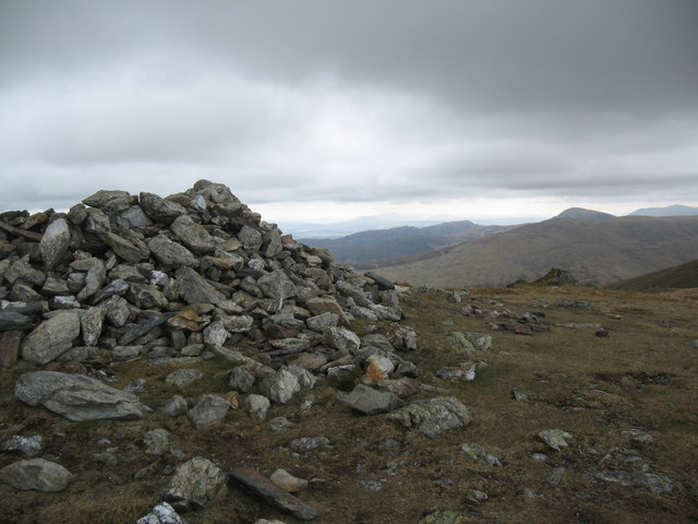
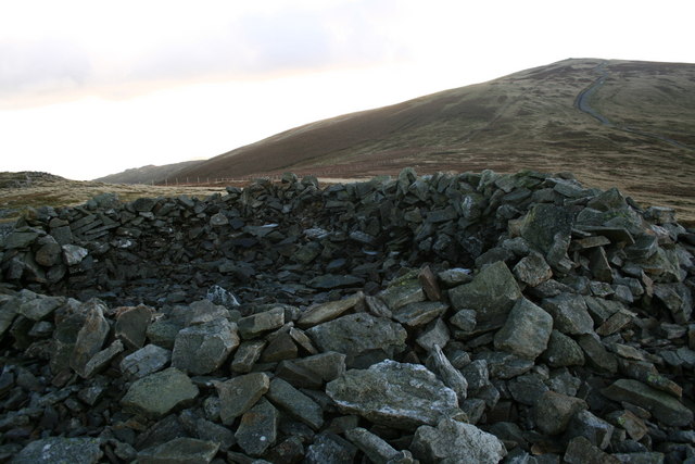
Carnedd y Ddelw is primarily known for its ancient stone circle, believed to date back to the Neolithic or Bronze Age. The stone circle consists of twelve upright stones, with a diameter of around 15 meters. Although the exact purpose of the stone circle remains unclear, it is speculated to have served as a ceremonial or religious site. Visitors to Carnedd y Ddelw can experience a sense of awe and wonder as they explore and contemplate the ancient origins of this remarkable structure.

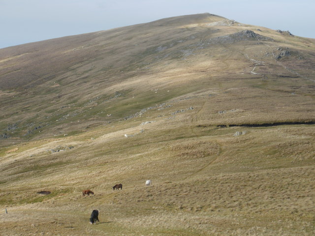
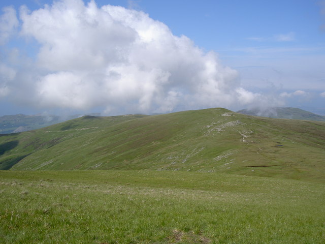
In addition to the stone circle, Carnedd y Ddelw offers breathtaking panoramic views of the surrounding landscape, including the Snowdonia National Park. The site also features a number of walking trails, allowing visitors to immerse themselves in the natural beauty of the area while enjoying the rich historical ambiance.

Carnedd y Ddelw is a protected heritage site, managed and maintained by local authorities. It provides a unique opportunity for visitors to delve into the heritage and history of the region, offering a glimpse into the lives of our ancient ancestors. Whether one is interested in archaeology, history, or simply seeking a peaceful retreat in nature, Carnedd y Ddelw is a must-visit destination in Caernarfonshire.

If you have any feedback on the listing, please let us know in the comments section below.

Carnedd y Ddelw Images

Images are sourced within 2km of 53.215/-3.94 or Grid Reference SH7070. Thanks to Geograph Open Source API. All images are credited.

Slatey rock outcrop Volcanic rock belonging to the Conwy Rhyolite Formation underlies much of the final stages of the path to the summit of Drum. Here, however, is one of the many enclaves of mudstone which are interleaved between parts of the erupted sequence of tuff and lava. Like the volcanic rocks, a strong cleavage has been impressed by the tectonic stresses imposed during the Caledonian mountain-building period. The image does not do justice to the freezing wind flying across the ridge from the east.
Slatey rock outcrop
Volcanic rock belonging to the Conwy Rhyolite Formation underlies much of the final stages of the path to the summit of Drum. Here, however, is one of the many enclaves of mudstone which are interleaved between parts of the erupted sequence of tuff and lava. Like the volcanic rocks, a strong cleavage has been impressed by the tectonic stresses imposed during the Caledonian mountain-building period. The image does not do justice to the freezing wind flying across the ridge from the east.
Bleached moorland The Cambrian Way long-distance path follows the fence marking the boundary between Conwy and Gwynedd counties. The colours of the season are sublime. It is a joy in winter, when the sheep are not loose on the hills, that the assistants can make their own way without a lead.
Bleached moorland
The Cambrian Way long-distance path follows the fence marking the boundary between Conwy and Gwynedd counties. The colours of the season are sublime. It is a joy in winter, when the sheep are not loose on the hills, that the assistants can make their own way without a lead.
Ascending Foel Lwyd
Ascending Foel Lwyd
Earthwork On Drum
Earthwork On Drum
Above Cwm Bychan
Above Cwm Bychan
View from Drum summit
Jagged outcrop Slatey rock outcrop above Foel Lwyd has weathered into sharp pinnacles, making a strong contrast with the featureless moorland.
Jagged outcrop
Slatey rock outcrop above Foel Lwyd has weathered into sharp pinnacles, making a strong contrast with the featureless moorland.
Moorland with ponies Almost featureless moorland is enlivened by grazing ponies and sheep.
Moorland with ponies
Almost featureless moorland is enlivened by grazing ponies and sheep.
Peat hag It is curious that peat is being lost from parts of the slope of Foel Lwyd, enabling grass to grow on the better-drained areas.
Peat hag
It is curious that peat is being lost from parts of the slope of Foel Lwyd, enabling grass to grow on the better-drained areas.
Nothing to see here My assistant, despite having no apparent concern with the interested pony, will not admit its presence by looking at it.
Nothing to see here
My assistant, despite having no apparent concern with the interested pony, will not admit its presence by looking at it.
Carneddau ponies No zoom here! The mountain ponies definitely seem to be tamer these days. Perhaps they are becoming more used to cameras, what with television appearances and all.
Carneddau ponies
No zoom here! The mountain ponies definitely seem to be tamer these days. Perhaps they are becoming more used to cameras, what with television appearances and all.
Rock garden The edge of Foel Lwyd has a scattering of glacially-derived boulders in clumps. Here is an easterly view over Penygadair into Denbighshire.
Rock garden
The edge of Foel Lwyd has a scattering of glacially-derived boulders in clumps. Here is an easterly view over Penygadair into Denbighshire.
View over Tafolog A view from the northern flank of Foel Lwyd, looking over the featureless moorland to Tafolog, a glaciated wilderness below the Bwlch y Ddeufaen. From here the power lines are almost invisible.
View over Tafolog
A view from the northern flank of Foel Lwyd, looking over the featureless moorland to Tafolog, a glaciated wilderness below the Bwlch y Ddeufaen. From here the power lines are almost invisible.
Heather and bilberry Land which is better drained has a better vegetation than the sodden, mossy grass and rushes which make progress difficult at times.
Heather and bilberry
Land which is better drained has a better vegetation than the sodden, mossy grass and rushes which make progress difficult at times.
Carnedd Penyborth-goch, Drum
Llyn Anafon
Llyn Anafon
Wild ponies on the col between Foel Fras and Drum
Wild ponies and Llyn Anafon
Show me another place!

Carnedd y Ddelw is located at Grid Ref: SH7070 (Lat: 53.215, Lng: -3.94)

What 3 Words

///chatters.lines.warms. Near Llanfairfechan, Conwy

Nearby Locations

Carnedd y Ddelw

Related Wikis

Carnedd y Ddelw

Carnedd y Ddelw is a summit in the Carneddau mountains in north Wales, north-east of Foel-fras. It is the Nuttall top of Drum (Wales). Its eastern slopes...

Bera Mawr

Bera Mawr is a summit in the Carneddau mountains in north Wales, height 794 metres. It and Bera Bach are together known as the Berau, or northern Carneddau...

Pen y Castell

Pen y Castell is a summit in the Carneddau mountains in north Wales. It tops the east ridge of Drum (Wales). The summit consists of rocky outcrops amid...

Drum (Wales)

Drum (Welsh pronunciation: [ˈdrɨm]) (Welsh: Y Drum = the ridge) is a summit in the Carneddau mountains in north Wales, 2 km north-east of Foel-fras. It...

Nearby Amenities

Located within 500m of 53.215,-3.94
Carnedd Y Ddelw
Ele: 688
Natural: peak
Wikidata: Q8525000
Wikipedia: en:Carnedd y Ddelw
Lat/Long: 53.2162899/-3.936629
Man Made: cairn
Lat/Long: 53.216254/-3.9366773
Man Made: cairn
Lat/Long: 53.2161241/-3.9361981
The data included in this document is from www.openstreetmap.org. The data is made available under ODbL.

Have you been to Carnedd y Ddelw?

Leave your review of Carnedd y Ddelw below (or comments, questions and feedback).